Status unknown — verify before visiting
We don't have current condition data for this trail. Check with the land manager before you go.
52.7 mi
Distance
10,282 ft
Elev. Gain
19h 42m
Est. Time
Point to Point
Route Type
Expert
Difficulty
About This Trail
Imported descriptionFrom Wikipedia
Source: Wikipedia — text licensed CC BY-SA 4.0. Verify trail conditions and seasonal closures with the managing agency before you go.
Trail Conditions
Trail Conditions
We have no current condition data for this trail. Check with the operator before you go, and submit a report below if you've been recently.
No recent condition reports. Be the first to share what you see on the trail.
Elevation Profile
Trail Details
- Route Type
- Point to Point
- Surface
- Dirt
Official sources & verification
We don't have curated agency sources for this trail in our cache yet. Outdoors is not the permitting authority — confirm conditions, permits, and access with the managing agency before you go. If you know who manages this trail, please tell us.
Reviews
No reviews yet
Be the first to share your experience and help others plan their visit.
Legacy import — verify before navigating
Path geometry came from our pre-launch legacy database. Routes have not yet been re-verified against the operator and may differ from the actual trail.
Hunt context
This trail crosses hunting units
During hunting seasons, wear blaze orange and check regulations — see the Washington hunting page

Stay nearby
Campgrounds near this trail
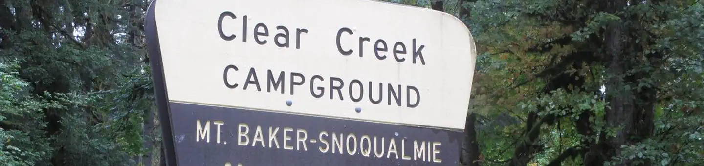
Clear Creek Campground
2.7 mi away · WA
Mount Baker-Snoqualmie National Forest Clear Creek Campground
2.8 mi away · WA
Reservable
Squire Creek Park & Campground
3.4 mi away · WA
William C. Dearinger- State Forest
8 mi away · WA
Suiattle River Road - Forest Service Road 26
9.4 mi away · WA
Peek-a-boo Lake Campsites
9.9 mi away · WA
Similar length
Similar trails in Washington
Hoh River Trail
Washington
Wonderland Trail
Washington
Enchanted Valley Chalet via East Fork Quinault River Trail
Washington
Ingalls Creek Trail to Lake Ingalls
Washington
Willapa Hills Trail
Washington
Hoh River Trail to Blue Glacier Trail
Washington