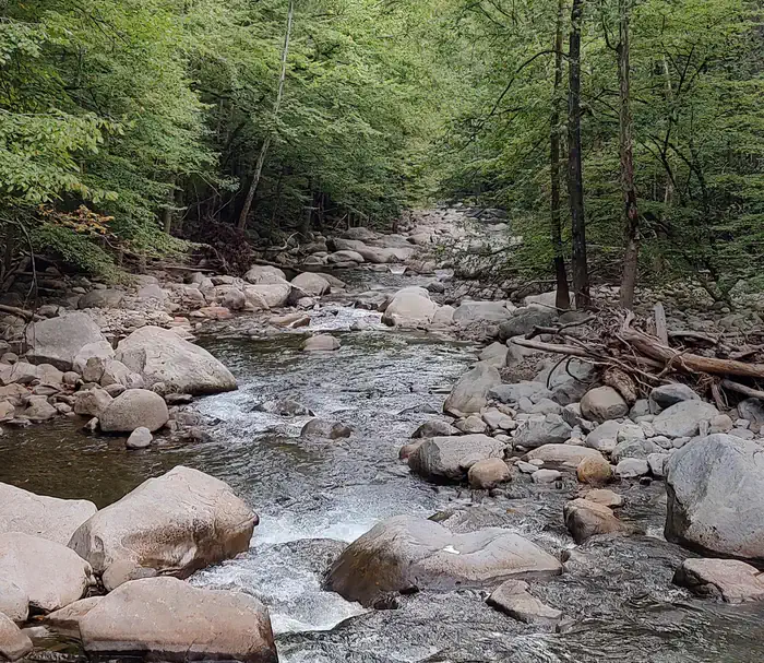
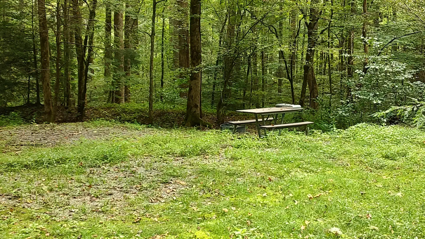
DifficultOut and Back
Mount Sterling via Mount Sterling Gap [CLOSED]
Cosby, Tennessee
5.1 mi
Distance
2,077 ft
Elev. Gain
2h 40m
Est. Time
0.0
0 Reviews
About This Trail
There were reports that there were temporary closings in this area. Before going to the park, please check the website.
Trail Details
Out & Back
Route Type
Dirt
Surface
Dogs Allowed (Leash Required)
Dog Policy
Yes
Kid Friendly
No
Permit Required
Elevation Profile
Min:1,207 ft
Max:1,784 ft
633 ft
633 ft
Reviews
No reviews yet
Be the first to share your experience and help others plan their visit.
Trail Conditions
Trail Conditions
Unknown
Updated Unknown
No recent condition reports. Be the first to share what you see on the trail.
Fork Mountain Loop Trail [CLOSED]
29.3 km
Difficult
Long Bunk Trail via Mount Sterling Trail [CLOSED]
16.3 km
Moderate
Balsam Mountain Loop [CLOSED]
40.4 km
Difficult
Mount Sterling Backpacking Trail [CLOSED]
44.4 km
Difficult
![Mount Sterling Backpacking Trail [CLOSED]](https://www.nps.gov/common/uploads/structured_data/3C873CC3-1DD8-B71B-0B076FC2806DF140.jpg?width=800&quality=80)
Mount Sterling Backpacking Trail [CLOSED]
31.1 km5.0
Difficult
Baxter Creek Trail [CLOSED]
25.3 km
Difficult
In this park
Other trails in Great Smoky Mountains National Park
Alum Cave Trail to Mount LeConte
Tennessee
16.9 km1,374 mgain
Difficult
Laurel Falls Trail [CLOSED]
Tennessee
3.9 km285 mgain
Easy
Chimney Tops Trail [CLOSED]
Tennessee
5.8 km502 mgain
Difficult
Rainbow Falls Trail [CLOSED]
Tennessee
8.9 km730 mgain
Difficult
Grotto Falls Trail [CLOSED]
Tennessee
4.2 km336 mgain
Moderate
Abrams Falls Trail [CLOSED]
Tennessee
7.9 km378 mgain
Moderate
Stay nearby
Campgrounds near this trail
Reservable
Falcon Expeditions - Big Creek Rustic Camp
3.4 mi away · NC
 Reservable
Big Creek Group Camp
3.7 mi away · NC
Reservable
Great Smoky Mountains National Park Cataloochee Group Campground
3.7 mi away · NC
 Reservable
Big Creek Horse Camp
3.8 mi away · NC
Reservable
#39 Pretty Hollow
4.3 mi away · NC
- Reservable
Big Creek Campground
4.3 mi away · NC
Similar length
Similar trails in Tennessee
Chimney Tops Trail [CLOSED]
Tennessee
5.8 km502 mgain
Difficult
Rainbow Falls Trail [CLOSED]
Tennessee
8.9 km730 mgain
Difficult
Grotto Falls Trail [CLOSED]
Tennessee
4.2 km336 mgain
Moderate
Abrams Falls Trail [CLOSED]
Tennessee
7.9 km378 mgain
Moderate
Mossy Ridge Trail
Tennessee
7.9 km374 mgain
Moderate
Day Loop Trail
Tennessee
6.3 km216 mgain
Moderate