Status unknown — verify before visiting
We don't have current condition data for this trail. Check with the land manager before you go.
16.8 mi
Distance
5,259 ft
Elev. Gain
7h 33m
Est. Time
Loop
Route Type
Expert
Difficulty
About This Trail
Imported descriptionTrail Conditions
Trail Conditions
We have no current condition data for this trail. Check with the operator before you go, and submit a report below if you've been recently.
No recent condition reports. Be the first to share what you see on the trail.
Elevation Profile
Trail Details
- Route Type
- Loop
- Surface
- Dirt
Official sources & verification
We don't have curated agency sources for this trail in our cache yet. Outdoors is not the permitting authority — confirm conditions, permits, and access with the managing agency before you go. If you know who manages this trail, please tell us.
Reviews
No reviews yet
Be the first to share your experience and help others plan their visit.
Legacy import — verify before navigating
Path geometry came from our pre-launch legacy database. Routes have not yet been re-verified against the operator and may differ from the actual trail.

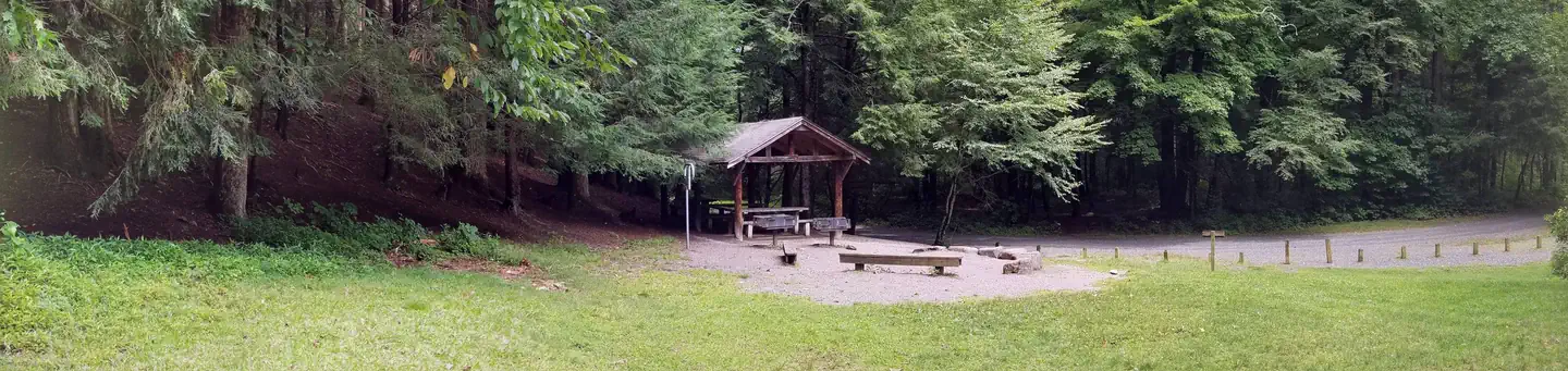
Black Mountain Campground
Setrock Creek Falls Trail
Mount Mitchell from Black Mountain Campground via Higgins Bald
Higgins Bald via Black Mountain Camp
Mount Mitchell to Blue Ridge Parkway to South Toe River Road
Roaring Fork Falls
Stay nearby
Campgrounds near this trail
Similar length
Similar trails in North Carolina
Graybeard Trail
North Carolina
Black Mountain Crest Trail
North Carolina
Cape Fear River Trail
North Carolina
Falls Lake Trail (Mountains-to-Sea Trail)
North Carolina
Roller Coaster to Main Loop to Big Lake Loop
North Carolina
American Tobacco Trail from Durham
North Carolina