Status unknown — verify before visiting

We don't have current condition data for this trail. Check with the land manager before you go.

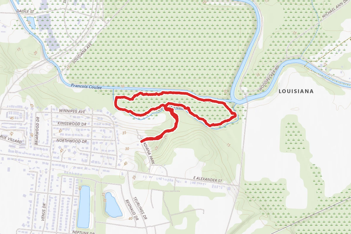
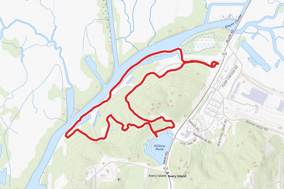
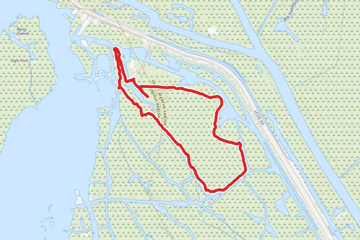
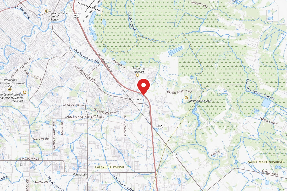
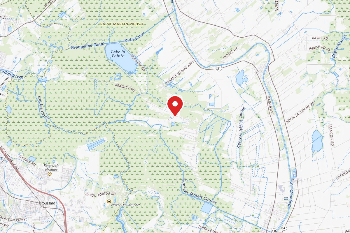
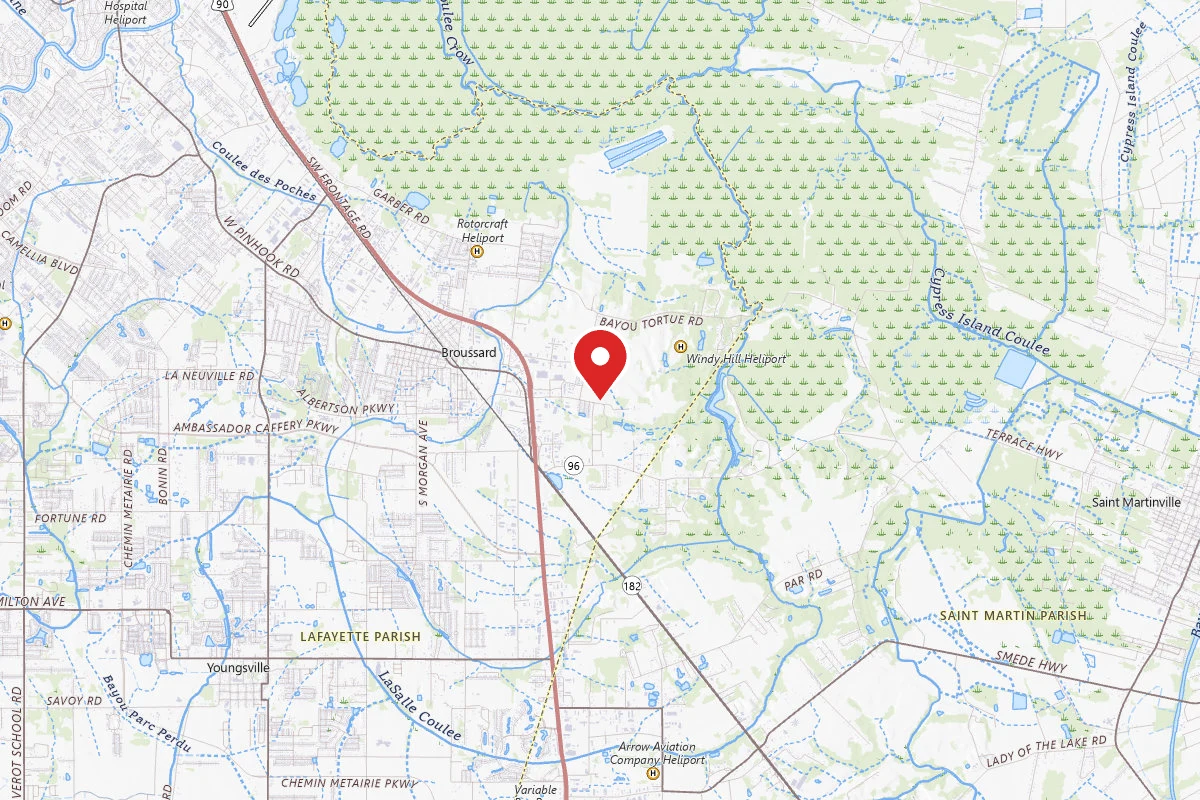
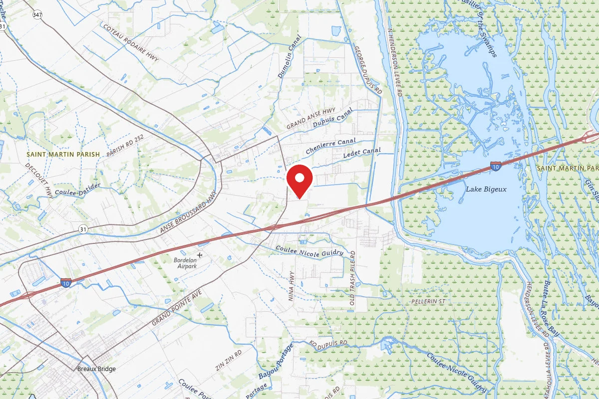
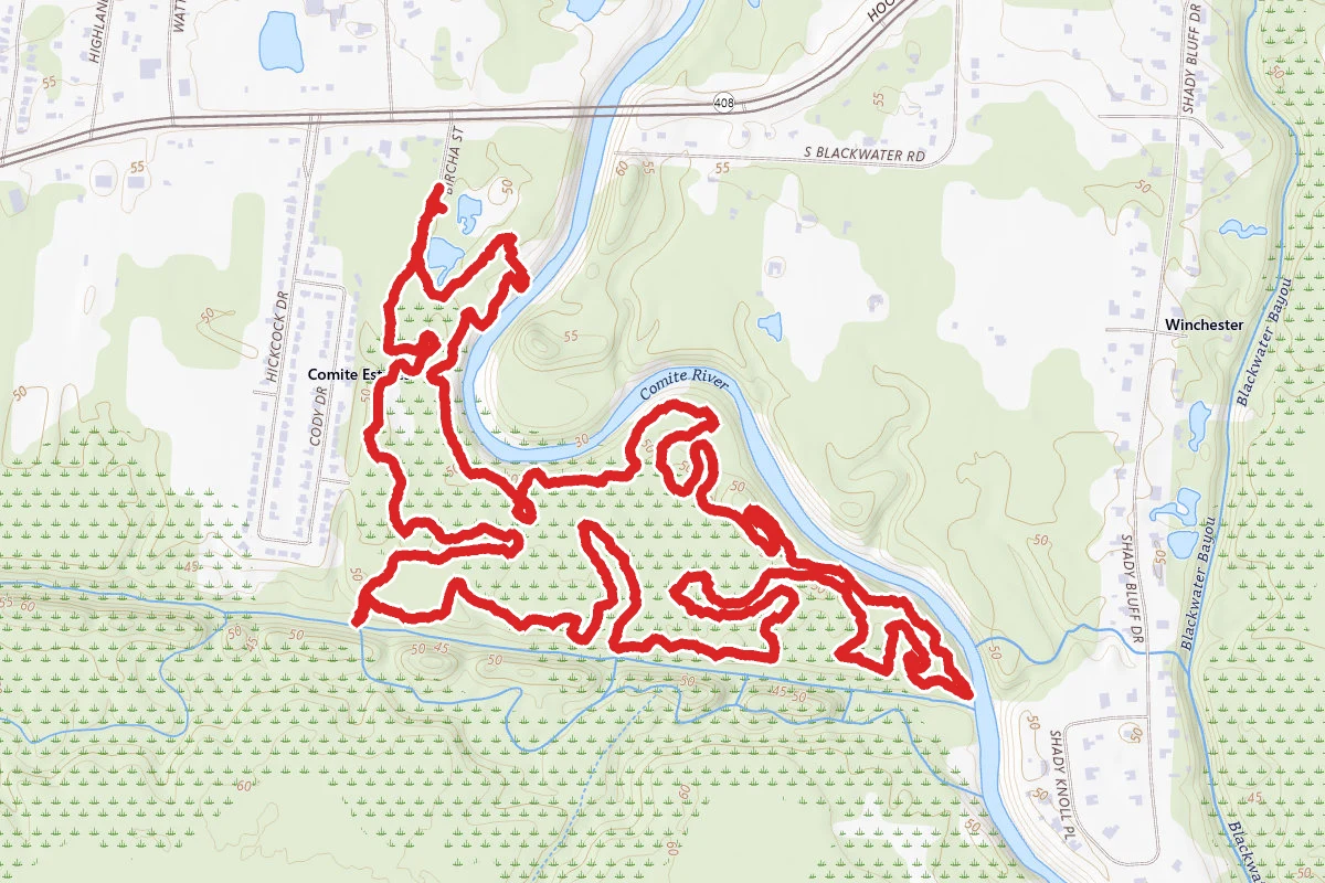
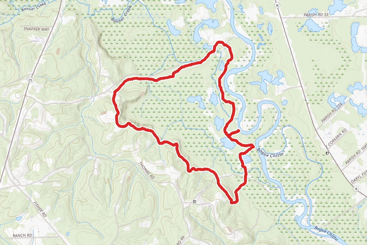
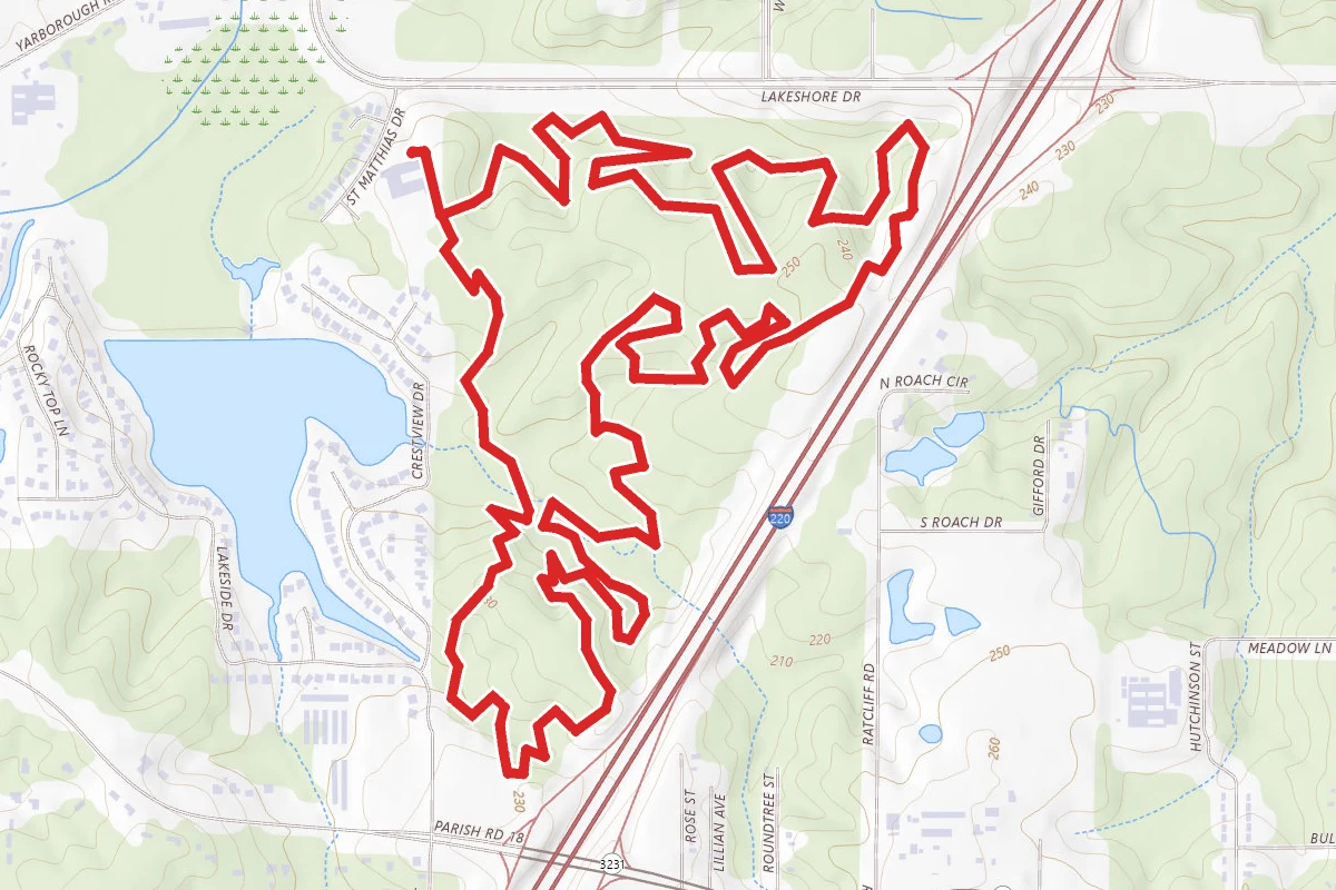
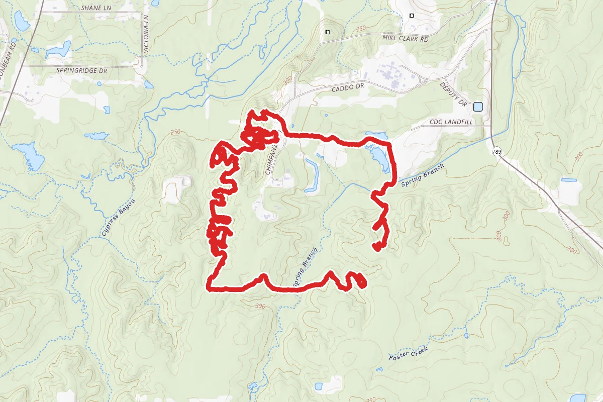
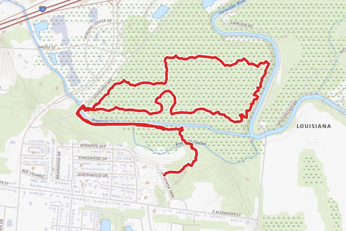
Moonseed Loop route map
ModerateLoop

Moonseed Loop

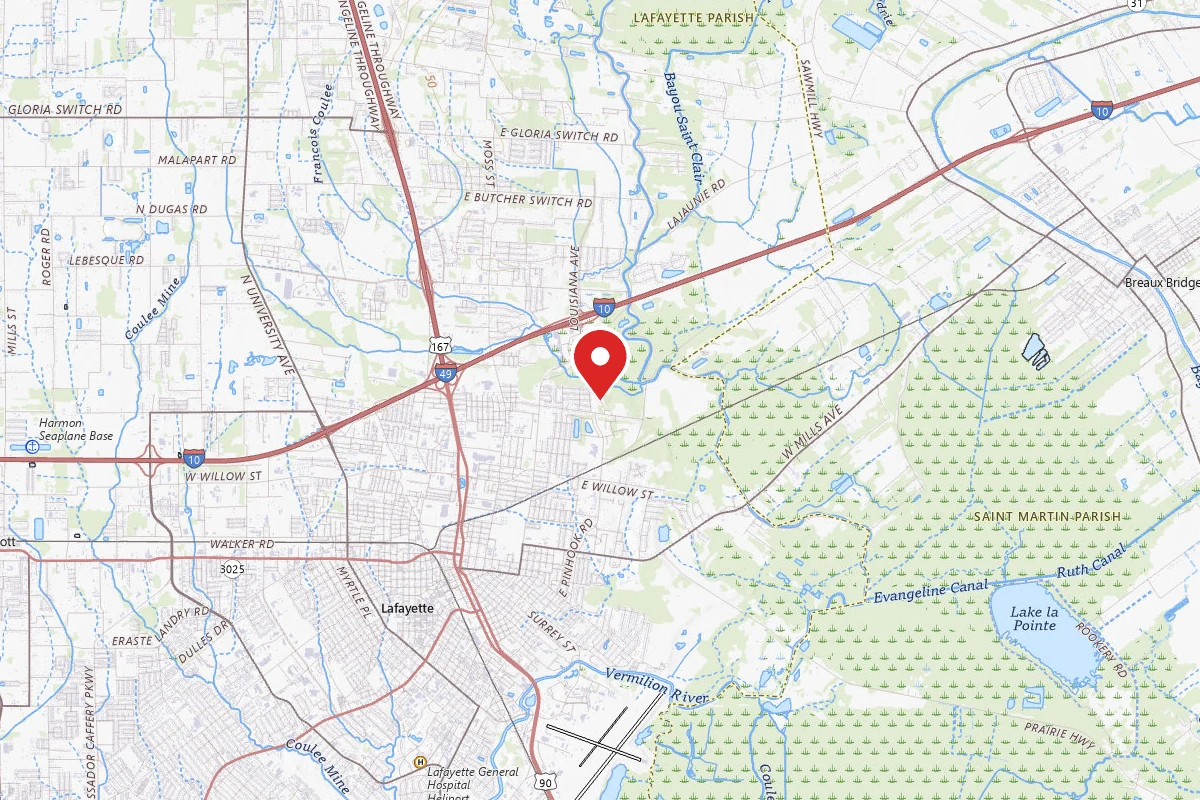
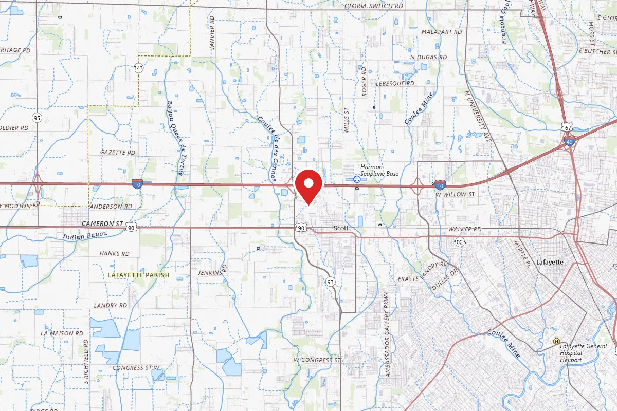
Lafayette, Louisiana

4.3 mi

Distance

486 ft

Elev. Gain

Loop

Route Type

Moderate

Difficulty

About This Trail

Imported description
The Nature Trails are open for exploration every day of the year, from dawn until dusk. Located in a wooded section of Acadiana Park, a 110 acre facility in the northeastern corner of Lafayette, Louisiana (south-central Louisiana), the Nature Station and its accompanying 3+mile trail system is owned and operated by the Division of Arts & Culture, in the Department of Community Development, Lafayette Consolidated Government. Environmental education programming began here in 1974 as an offshoot of our parent organization, the Lafayette Science Museum. As a result of increasing demand for our programs, the Nature Station was constructed in 1978. Since that time, our staff has conducted field trips, workshops, and other educational activities and programs for many thousands of school children and adults alike. Ecologically, the Nature Station Trails are situated at the juncture of two major systems: the Gulf Coastal Tallgrass Prairie (or remnants thereof), and the Mississippi River Floodplain. Several thousand years ago, as a result of large volumes of meltwater streaming southward at the end of the last "Ice Age", the ancient Mississippi River strayed westward into what is now south-central Louisiana, expanding its floodplain by about fifty miles, and flowing through this area for approximately one thousand years. As glacial meltwaters gradually subsided from the north, the river moved back into its "original" stream bed; a course which it continues to follow today, taking it through the cities of Baton Rouge (fifty miles to our east) and New Orleans (one-hundred- twenty-five miles to our southeast), before emptying into the Gulf of Mexico, some one-hundred miles south of New Orleans. As a direct result of these historic climatic/geologic changes, present-day Acadiana Park straddles this ancient juncture of river and prairie, with the prairie terrace itself laying some 45-50 feet above the adjacent floodplain (where the Nature Station itself is located). Separating these two land forms is a wide, bluff-like shelf (escarpment) which was actually the western bank of the ancient Mississippi. Thus, present day Acadiana Park supports three major habitat types: a bottomland hardwood forest on the Mississippi River floodplain, a transitional oak-hickory forest on the escarpment, and the remnants of what once was a tallgrass prairie on the prairie terrace. Of course, each of these major habitats supports its own plant communities; and in turn, each plant community supports its own compliment of animals. While the plant communities are pretty much fixed, the animal communities vary according to yearly seasonal cycles.

Trail Conditions

Trail Conditions

Unknown

We have no current condition data for this trail. Check with the operator before you go, and submit a report below if you've been recently.

No recent condition reports. Be the first to share what you see on the trail.

Elevation Profile

Min:4 ft
Max:25 ft
148 ft
148 ft
4 ft11 ft18 ft25 ft0.0 mi1.1 mi2.2 mi3.2 mi4.3 mi

Trail Details

Route Type
Loop
Surface
Dirt

Official sources & verification

We don't have curated agency sources for this trail in our cache yet. Outdoors is not the permitting authority — confirm conditions, permits, and access with the managing agency before you go. If you know who manages this trail, please tell us.

Reviews

No reviews yet

Be the first to share your experience and help others plan their visit.

Legacy import — verify before navigating

Path geometry came from our pre-launch legacy database. Routes have not yet been re-verified against the operator and may differ from the actual trail.

Spot an error in our data on Moonseed Loop?