Difficult
36 mi
Distance
9,790 ft
Elev. Gain
16h 7m
Est. Time
0.0
0 Reviews
About This Trail
The trail has been temporarily closed due to COVID-19. The park's website has up to date information.
Trail Details
Point to Point
Route Type
Dirt
Surface
Dogs Allowed (Leash Required)
Dog Policy
Yes
Kid Friendly
No
Permit Required
Elevation Profile
Min:2,185 ft
Max:3,249 ft
2,984 ft
2,712 ft
Reviews
No reviews yet
Be the first to share your experience and help others plan their visit.
Trail Conditions
Trail Conditions
Unknown
Updated Unknown
No recent condition reports. Be the first to share what you see on the trail.
![Matterhorn Canyon and the Sawtooth Range Trail [CLOSED]](https://www.nps.gov/common/uploads/structured_data/3C873CC3-1DD8-B71B-0B076FC2806DF140.jpg?width=800&quality=80)
Stay nearby
Campgrounds near this trail
Reservable
Annett's Mono Village
0 mi away · CA
 Reservable
Twin Lakes Resort
3.2 mi away · CA
Toiyabe National Forest Lower Twin Lake Campground
3.2 mi away · CA
- Reservable
Lower Twin Lake Campground
3.5 mi away · CA
Reservable
Toiyabe National Forest Crags Campground
3.6 mi away · CA
 Reservable
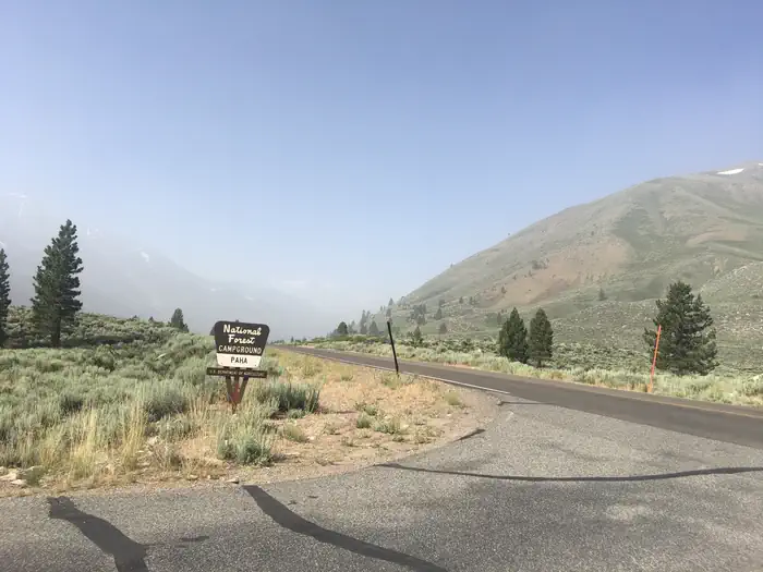
Paha
3.8 mi away · CA
Similar length
Similar trails in California
Mount Whitney Trail
California
36.2 km4,357 mgain
Difficult
Happy Isles, Vernall Falls, Half Dome, Tenaya Lake, and Mirror Lakes Loop [CLOSED]
California
48.6 km3,379 mgain
Difficult
Rae Lakes Trail
California
66.6 km2,949 mgain
Difficult
Heaton Flat Trail to Iron Mountain
California
29.0 km2,267 mgain
Difficult
Sespe River Trail to Willett Hot Springs
California
31.9 km1,093 mgain
Moderate
Valley Floor Loop Trail [CLOSED]
California
32.3 km1,143 mgain
Easy