Manitou Incline Summit Trail
0.3 mi
Distance
6m
Est. Time
Loop
Route Type
About This Trail
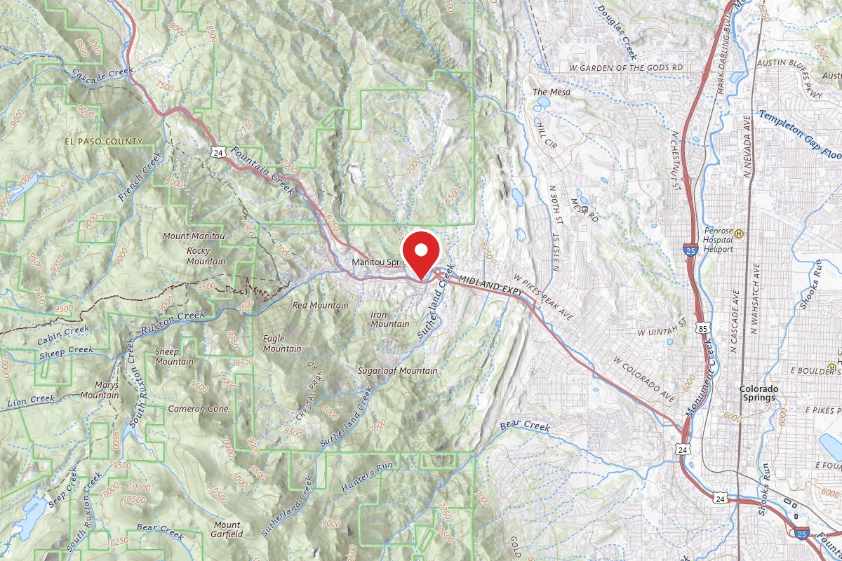
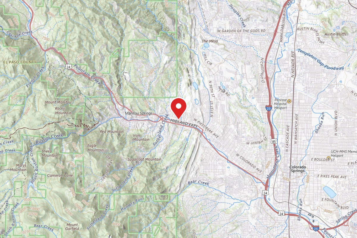
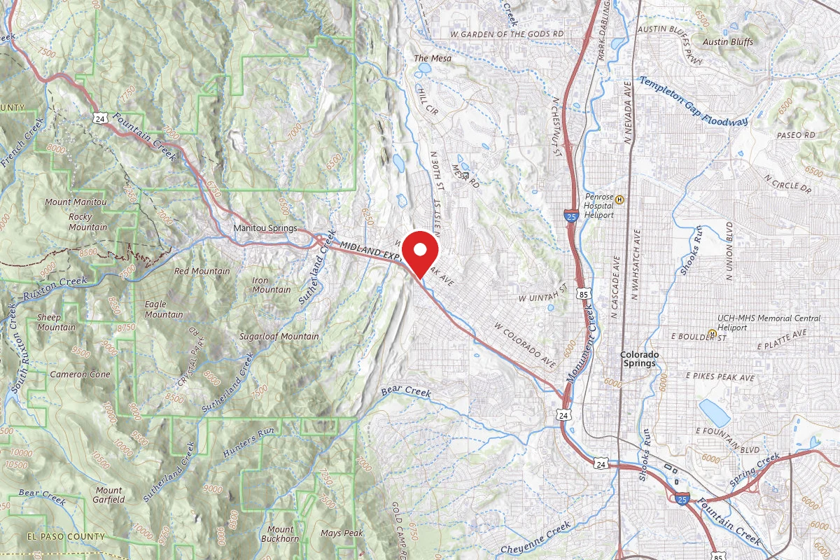
Manitou Incline Summit Trail is a loop trail in Pike National Forest, managed by the United States Forest Service, in El Paso County, Colorado. It is 0.3 miles long. The surface is dirt. Per Colorado Parks and Wildlife (COTREX), it is closed to bikes and horses. The nearest town is Manitou Springs, Colorado, about 1 mile away in a straight line.
From the trail data on this page. For conditions and closures, see official sources.
Trail Conditions
Trail Conditions
We have no current condition data for this trail. Check with the operator before you go, and submit a report below if you've been recently.
No recent condition reports. Be the first to share what you see on the trail.
Elevation Profile
| Point | Distance from start | Elevation |
|---|---|---|
| Start | 0.0 mi | 2,733 ft |
| End | 0.3 mi | 2,660 ft |
Trail Details
- No dogs
- No bikes
- No horses
Bike and horse access: Colorado Parks and Wildlife (COTREX), checked 2026-10-14. Rules change, so confirm with the land manager before you go.
- Route Type
- Loop
- Surface
- Dirt
Permit required
Apply through the issuing agency. Many systems run seasonal lotteries or fixed application windows — confirm current dates on the agency page.
A free online reservation and a signed waiver are required to hike the Manitou Incline. A new waiver must be signed with every reservation. Reservations are limited per half hour. Book on the City of Colorado Springs Incline page, which lists current hours and release schedule.
Official sources & verification
Managed by United States Forest Service
Reserve or permit
- Apply for permit
Required permit application for this trail. Many systems run seasonal lotteries or fixed application windows — confirm current dates here.
Managing agency
- United States Forest Service
Find permit systems, current orders, and offices for this agency.
Where it is
- Nearest town:
- Manitou Springs, CO · about 1 mi away
- County:
- El Paso County, CO
- Jurisdiction:
- Pike National Forest · United States Forest Service
Nearest town and county from U.S. Census Bureau place records and county boundaries.
Reviews
No reviews yet
Be the first to share your experience and help others plan their visit.
Imported route
Nearby Trails
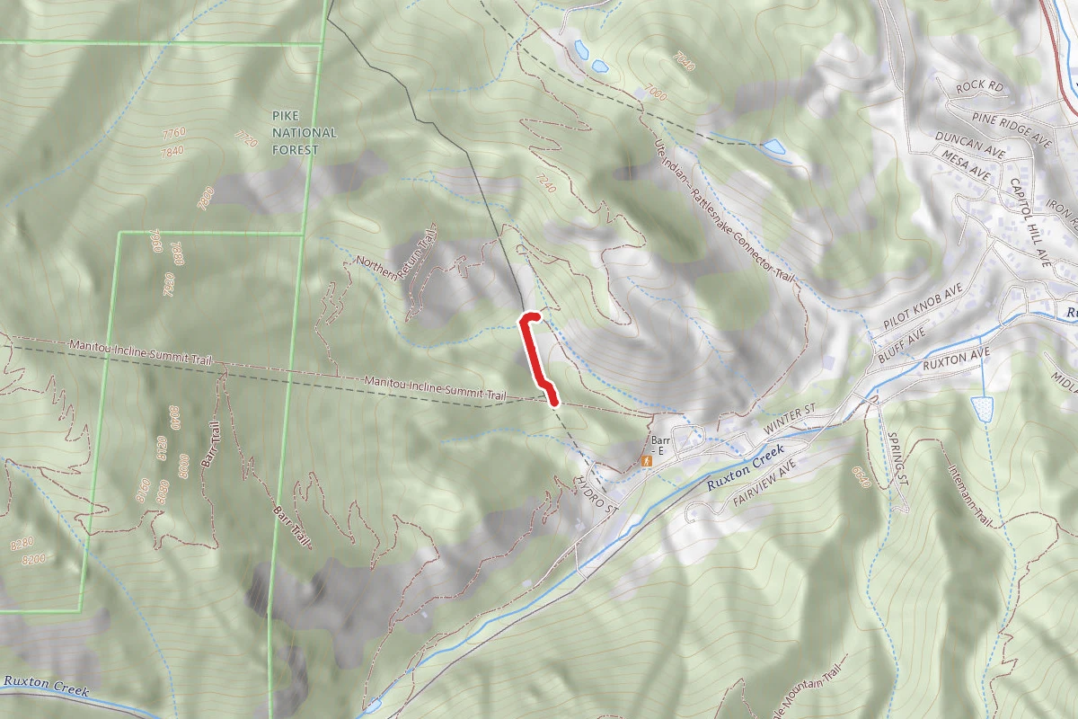
More trails near Manitou Incline Summit Trail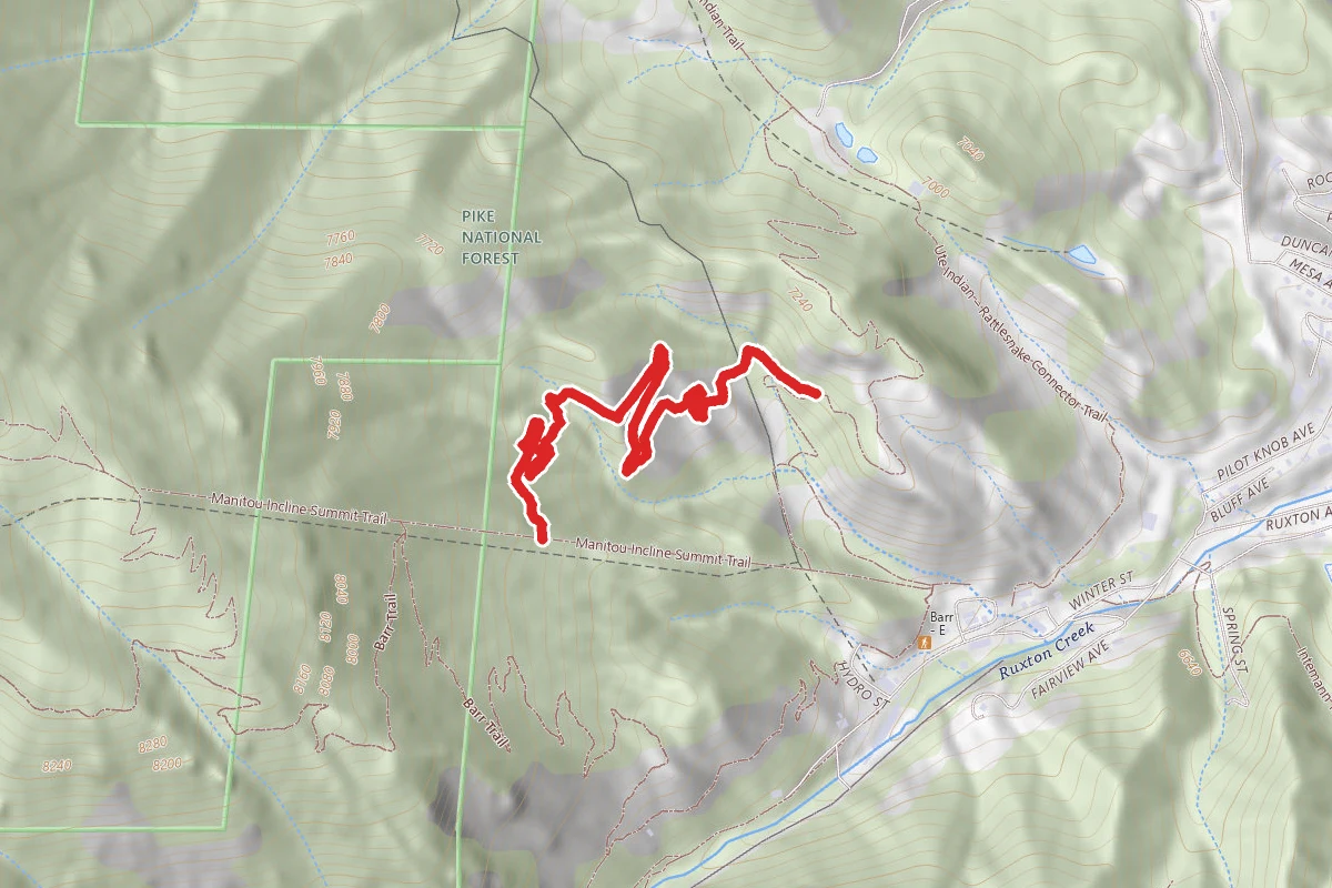
In this park
Other trails in Pike National Forest
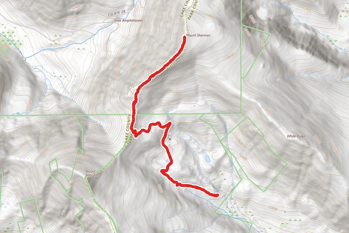
Mount Sherman Trail via Four Mile Creek Road
Colorado
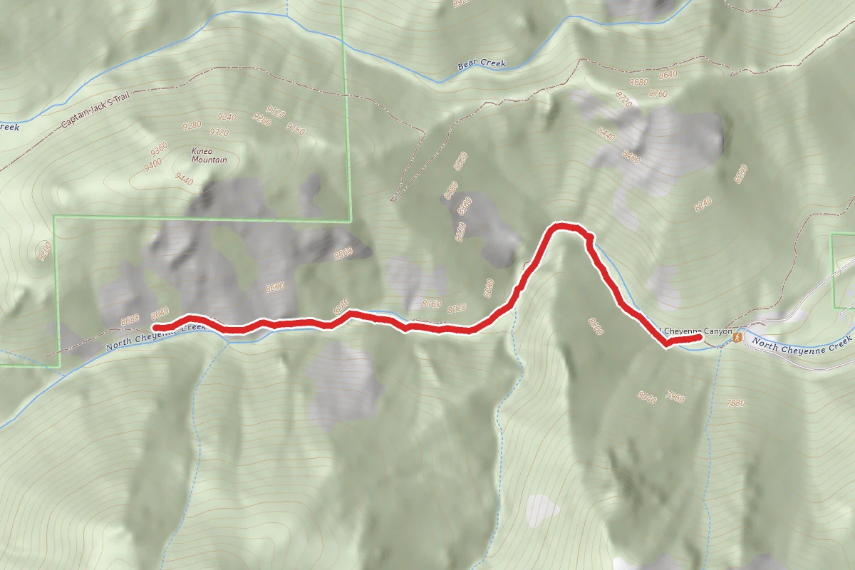
Seven Bridges Trail
Colorado
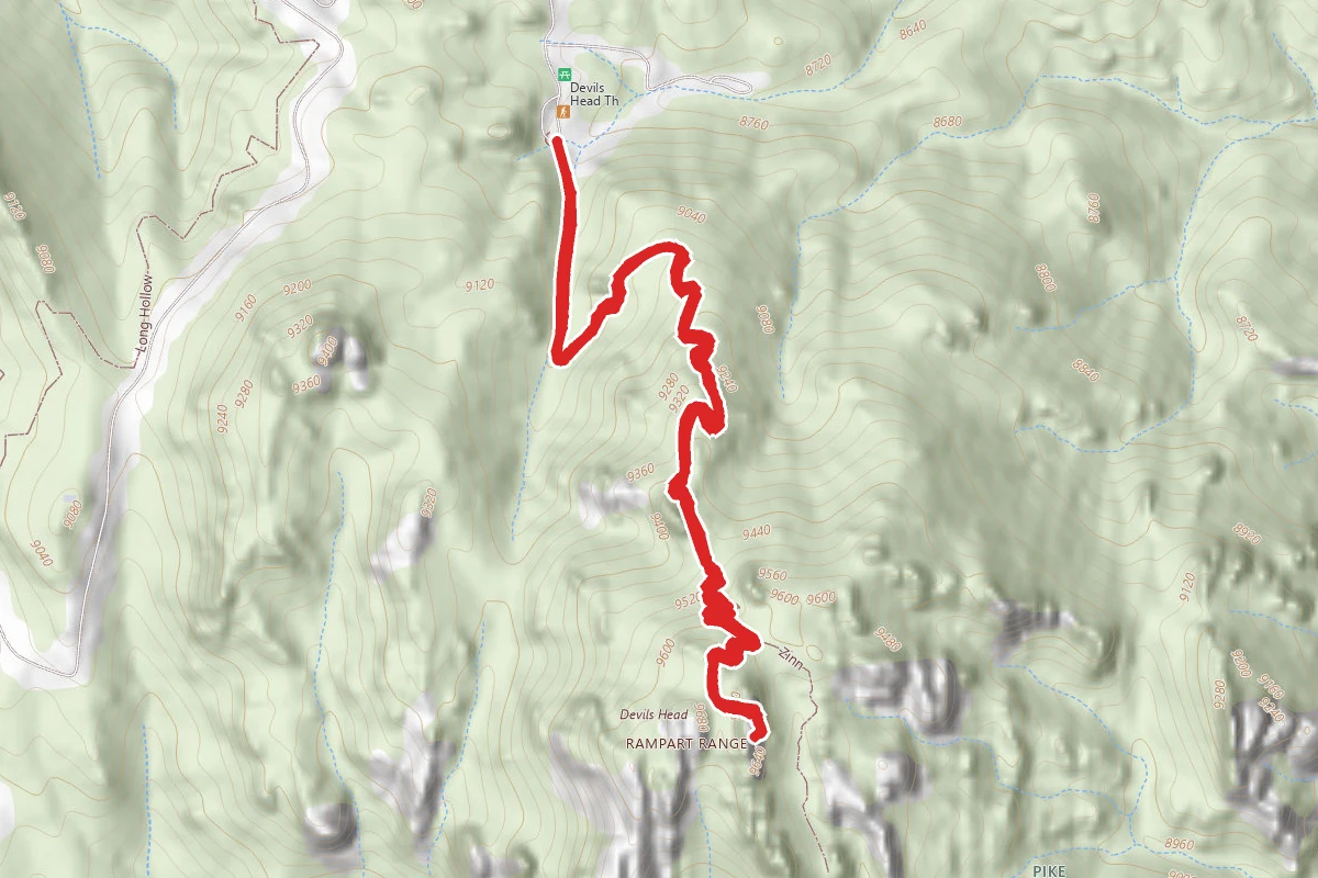
Devil's Head Lookout Trail to Fire Tower
Colorado
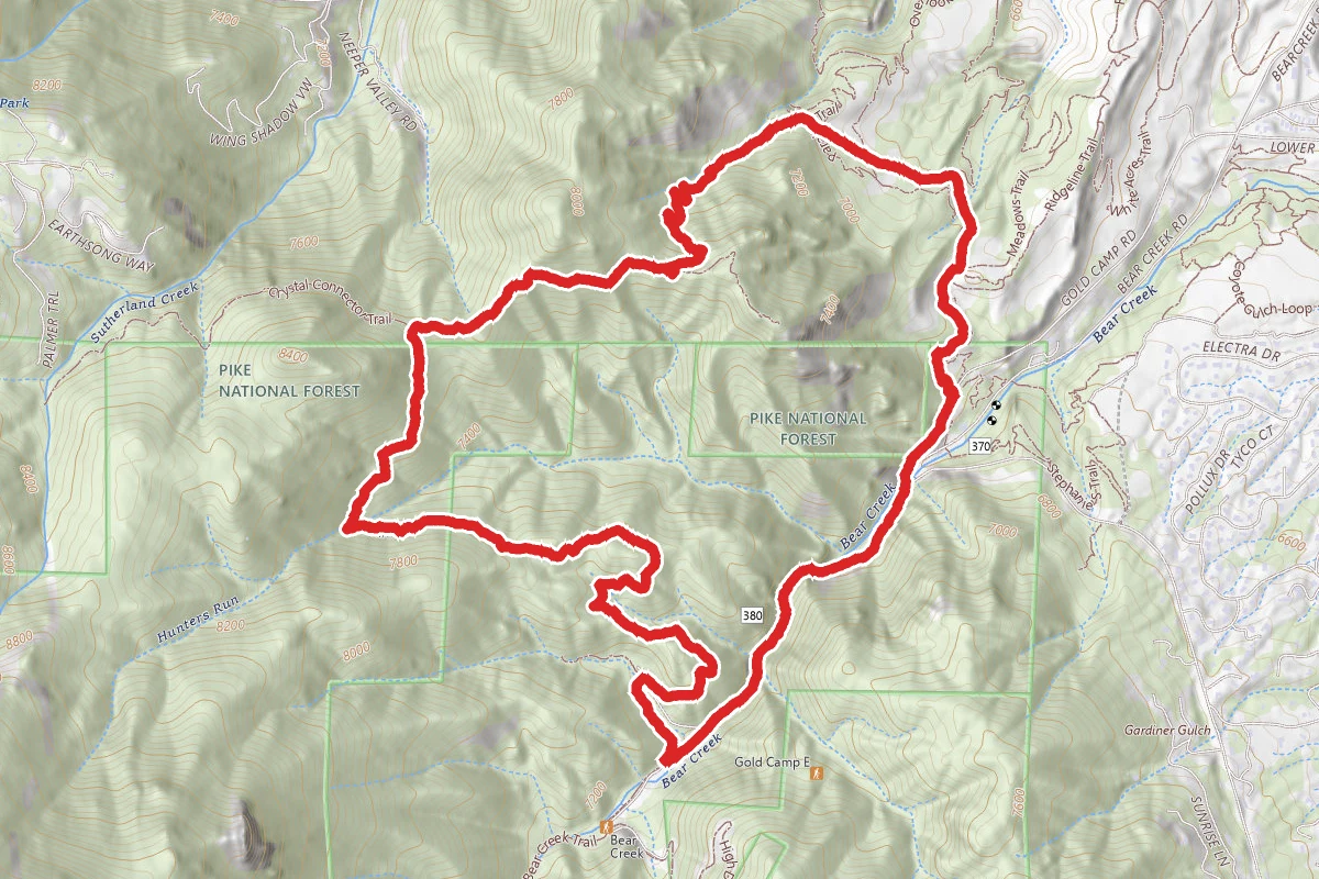
Palmer Trail (Section 16)
Colorado
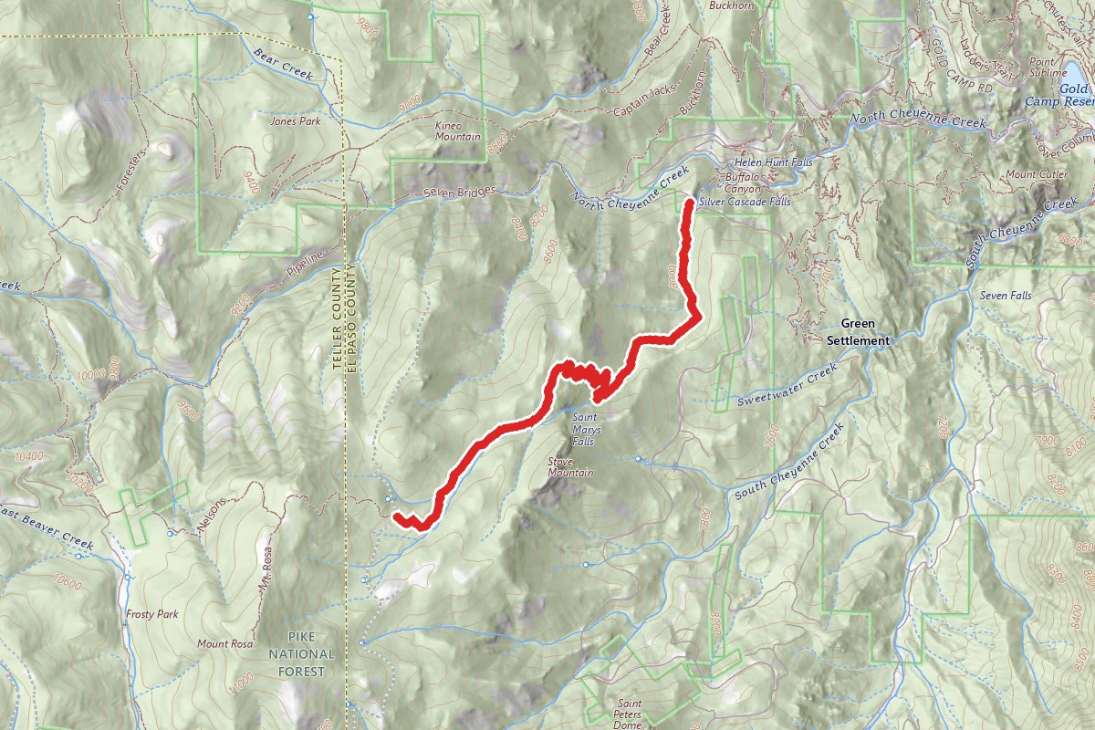
St. Mary's Falls Trail
Colorado
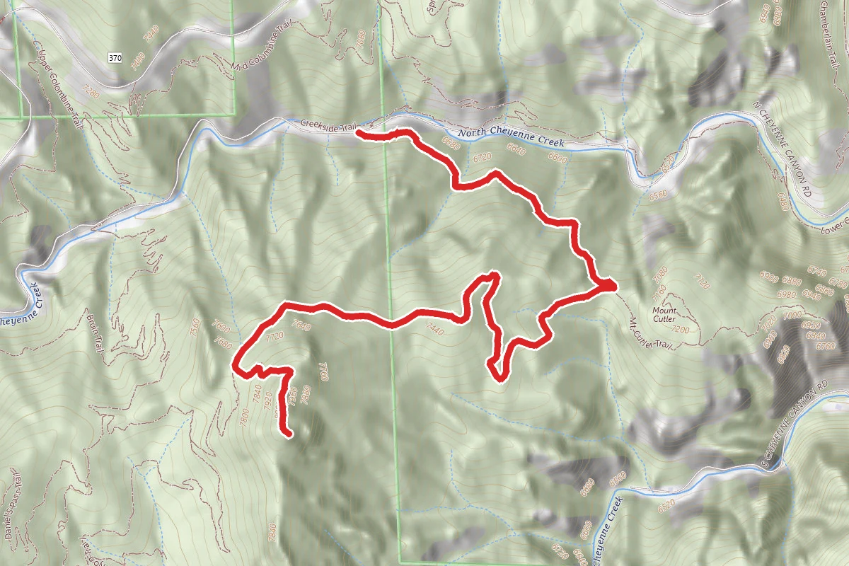
Mount Muscoco Trail
Colorado
Stay nearby
Campgrounds near this trail
Similar length