Status unknown — verify before visiting

We don't have current condition data for this trail. Check with the land manager before you go.
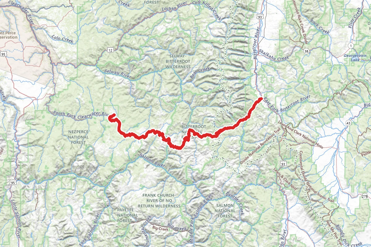
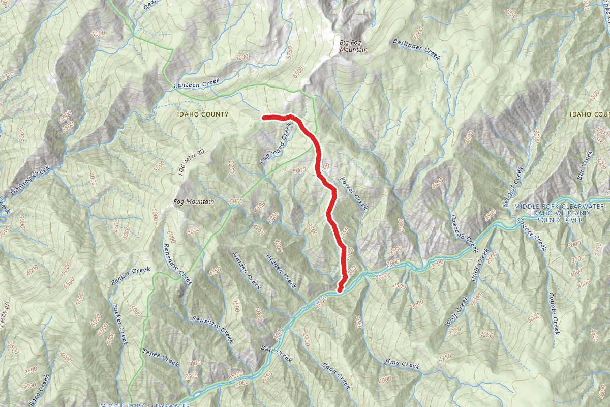
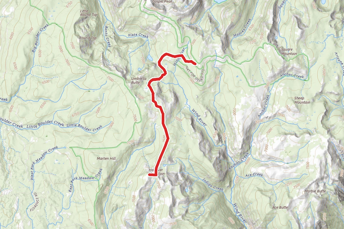
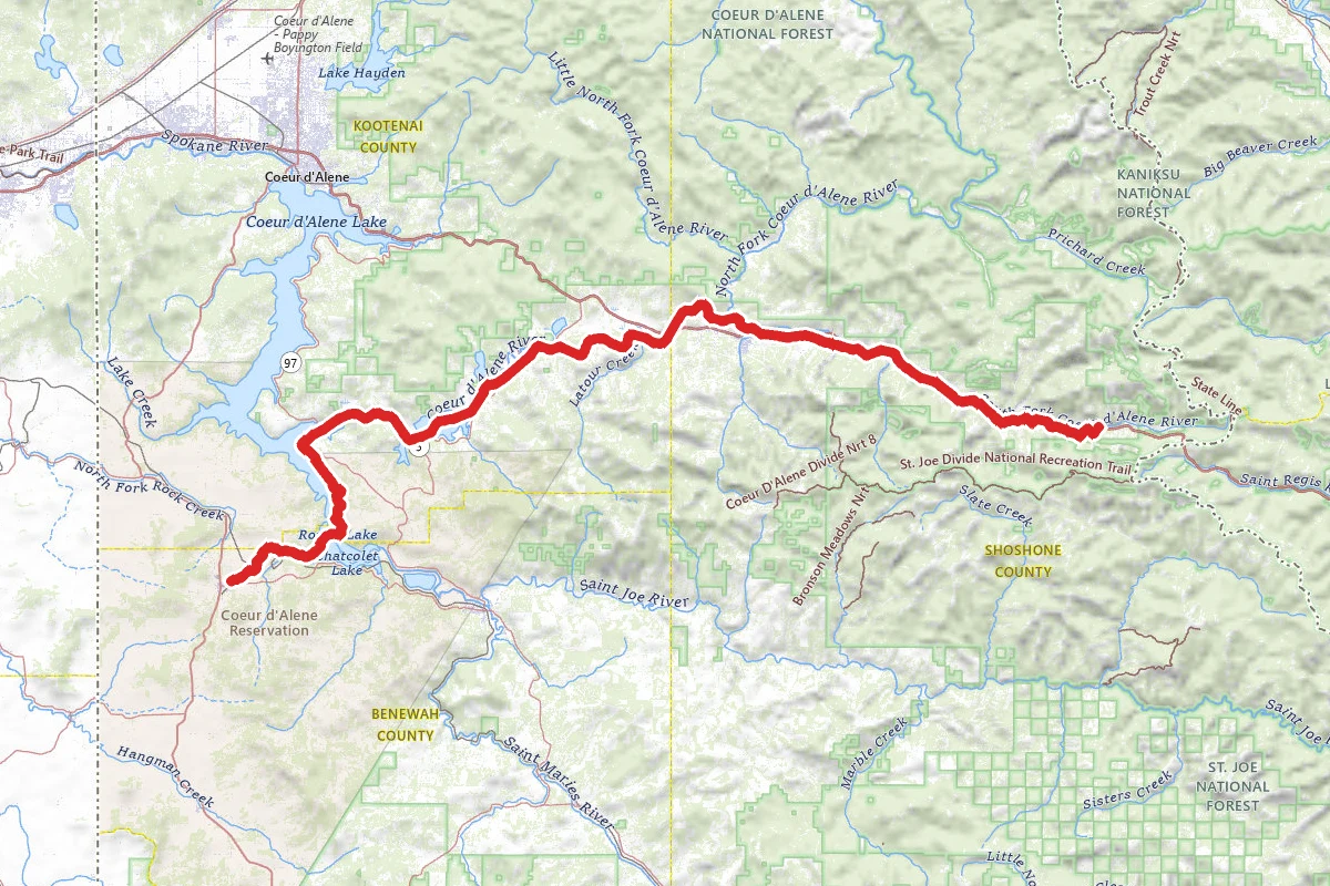
Magruder Corridor (Montana OHV Road) route map
ExpertPoint to Point

Magruder Corridor (Montana OHV Road)

Elk City, Idaho

122.5 mi

Distance

19,678 ft

Elev. Gain

47h 25m

Est. Time

Point to Point

Route Type

Expert

Difficulty

About This Trail

Imported description
The Magruder Corridor (Montana Road) from the Red River Ranger Station, Nez Perce National Forest, Idaho to Darby MT. The Magruder Road Corridor extends 95 miles through a vast undeveloped area, offering solitude and pristine beauty, as well as expansive views of the Bitterroot and Clearwater Mountains. It has been known as the Southern Nez Perce Trail, Elk City to Darby Road, Montana Road, and the Parker Trail. The road enables a traveler to drive along a corridor between Wildernesses nearly twice as large as the combined states of Delaware and Rhode Island. To the north is the 1.2 million acre Selway-Bitterroot Wilderness and to the south the 2.2 million acre Frank Church-River of No Return Wilderness. This is probably one of the wildest roads in the United States. Its unspoiled beauty cannot be surpassed, as the landscape is much the same as when the Nez Perce Indians and early travelers crossed the area. The Magruder Road (Forest Road #468) is a single-lane mostly unimproved road which is rocky, steep and winding, with few turnouts for passing oncoming vehicles. The road is not recommended for low-clearance vehicles, motor homes, or vehicles towing trailers. The video in POI #35 (Hell's Half Acre Lookout Road #224) shows typical road conditions that you may expect. The road traverses a vast, remote, and rugged area. Travelers should take adequate provisions and make sure their vehicles are in good condition. Don't run out of gas! Options on how to visit this area will depend on your individual choices. Starting in either Idaho or Montana will be the first decision. Staying in a hotel, cabin, RV, or tent are all possible in this area. The type of vehicle or the amount of time you want to spend hiking trails into the Wildernesses will also be factors. Just driving the road in a high clearance vehicle will take 8 to 10 hours. ATVs and motorcycles are limited by the amount of fuel and camping gear they can carry. The Burnt Knob LO will require a 4X4 or a willingness to hike uphill for about 1 1/2 miles. The road from the Montana side is OK for ATV and horse trailers to the Magruder Ranger Station and Selway River and might be considered as part of your planning. RVs can access the Fales Flat Campground from the Montana side of the corridor. There is no cell phone service in this area.

Trail Conditions

Trail Conditions

Unknown

We have no current condition data for this trail. Check with the operator before you go, and submit a report below if you've been recently.

No recent condition reports. Be the first to share what you see on the trail.

Elevation Profile

Min:1,134 ft
Max:2,514 ft
5,998 ft
6,000 ft
1,134 ft1,594 ft2,054 ft2,514 ft0.0 mi30.6 mi61.2 mi91.7 mi122.3 mi

Trail Details

Route Type
Point to Point
Surface
Dirt

Official sources & verification

We don't have curated agency sources for this trail in our cache yet. Outdoors is not the permitting authority — confirm conditions, permits, and access with the managing agency before you go. If you know who manages this trail, please tell us.

Reviews

No reviews yet

Be the first to share your experience and help others plan their visit.

Legacy import — verify before navigating

Path geometry came from our pre-launch legacy database. Routes have not yet been re-verified against the operator and may differ from the actual trail.

Hunt context

This trail crosses hunting units

During hunting seasons, wear blaze orange and check regulations — see the Montana hunting page
Spot an error in our data on Magruder Corridor (Montana OHV Road)?