Status unknown — verify before visiting
We don't have current condition data for this trail. Check with the land manager before you go.
10.2 mi
Distance
1,430 ft
Elev. Gain
3h 40m
Est. Time
Out & Back
Route Type
Difficult
Difficulty
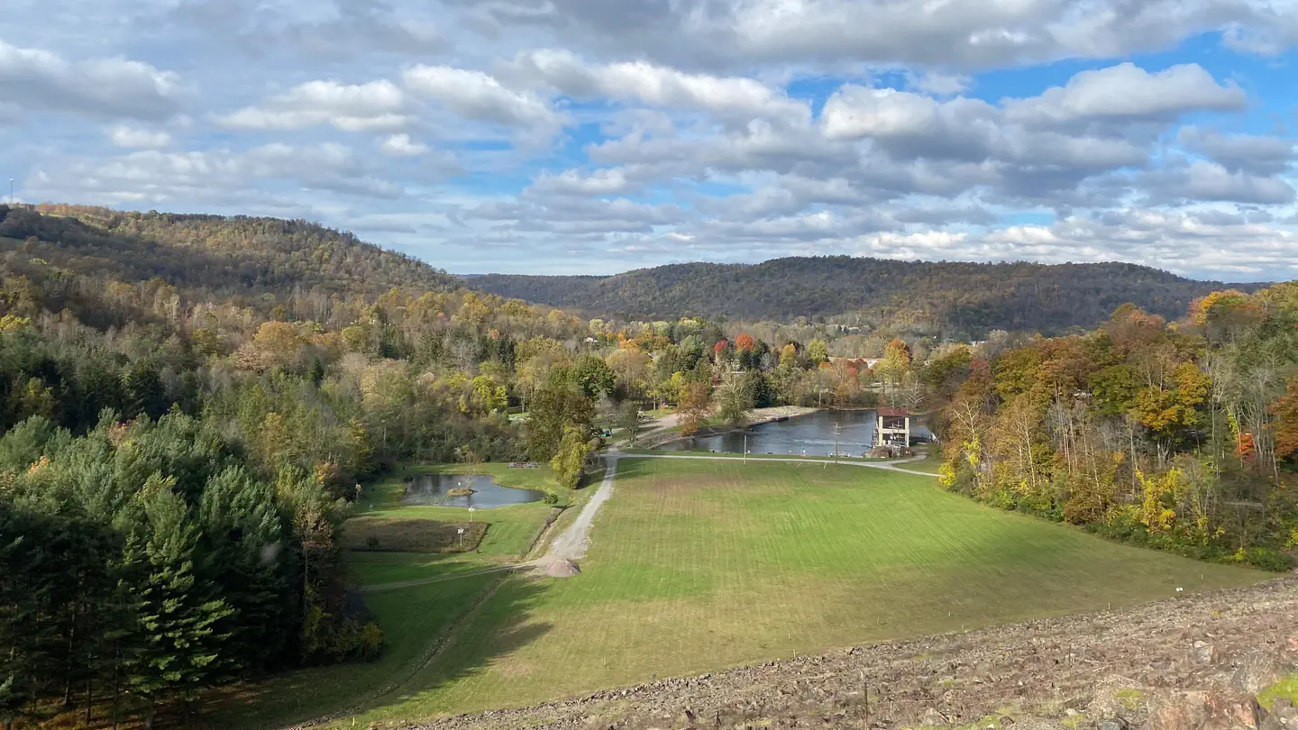
About This Trail
Imported descriptionTrail Conditions
Trail Conditions
We have no current condition data for this trail. Check with the operator before you go, and submit a report below if you've been recently.
No recent condition reports. Be the first to share what you see on the trail.
Elevation Profile
Trail Details
- Route Type
- Out & Back
- Surface
- Dirt
Official sources & verification
We don't have curated agency sources for this trail in our cache yet. Outdoors is not the permitting authority — confirm conditions, permits, and access with the managing agency before you go. If you know who manages this trail, please tell us.
Reviews
No reviews yet
Be the first to share your experience and help others plan their visit.
Legacy import — verify before navigating
Path geometry came from our pre-launch legacy database. Routes have not yet been re-verified against the operator and may differ from the actual trail.

Stay nearby
Campgrounds near this trail
Reservable
Mill Run Recreation Area
3.8 mi away · MD
Reservable
Tentrr Signature Site - Trout Meadow
6.1 mi away · MD
Bumble Bee RV Park & Campground
7.2 mi away · MD
Reservable
Yough Lake Campground at Tub Run
7.4 mi away · PA
Reservable
Double G Campground
7.9 mi away · MD
 Reservable
Outflow Camping
10.1 mi away · PA
Similar length
Similar trails in Maryland
Annapolis Rock via Appalachian Trail
Maryland
Bacon Ridge Trail
Maryland
Gambrill Yellow Trail
Maryland
Rosaryville Perimeter Trail
Maryland
BWI Trail
Maryland
Merryman's Mill Trail
Maryland