Easy
0.5 mi
Distance
89 ft
Elev. Gain
11m
Est. Time
0.0
0 Reviews
About This Trail
The trail has been temporarily closed due to COVID-19. The park's website has up to date information.
Trail Details
Loop
Route Type
Dirt
Surface
Dogs Allowed (Leash Required)
Dog Policy
Yes
Kid Friendly
No
Permit Required
Elevation Profile
Min:558 ft
Max:581 ft
27 ft
27 ft
Reviews
No reviews yet
Be the first to share your experience and help others plan their visit.
Trail Conditions
Trail Conditions
Unknown
Updated Unknown
No recent condition reports. Be the first to share what you see on the trail.
Nearby Trails
More trails near John Oliver Cabin Access [CLOSED]Cades Cove Loop Hike [CLOSED]
16.6 km
Moderate
Crooked Arm Scott Mountain Trail [CLOSED]
19.0 km
Difficult
Rich Mountain Loop Trail [CLOSED]
13.4 km
Moderate
Anthony Creek, Bote Mountain, Eagle Creek, and Lakeshore to Hazel Creek [CLOSED]
32.0 km
Difficult
Pine Oak Nature Trail [CLOSED]
1.3 km
Easy
![Pine Oak Nature Trail [CLOSED]](https://www.nps.gov/common/uploads/structured_data/3C873CC3-1DD8-B71B-0B076FC2806DF140.jpg?width=800&quality=80)
Pine Oak Nature Trail [CLOSED]
1.3 km4.0
Easy
In this park
Other trails in Great Smoky Mountains National Park
Alum Cave Trail to Mount LeConte
Tennessee
16.9 km1,374 mgain
Difficult
Laurel Falls Trail [CLOSED]
Tennessee
3.9 km285 mgain
Easy
Chimney Tops Trail [CLOSED]
Tennessee
5.8 km502 mgain
Difficult
Rainbow Falls Trail [CLOSED]
Tennessee
8.9 km730 mgain
Difficult
Grotto Falls Trail [CLOSED]
Tennessee
4.2 km336 mgain
Moderate
Abrams Falls Trail [CLOSED]
Tennessee
7.9 km378 mgain
Moderate
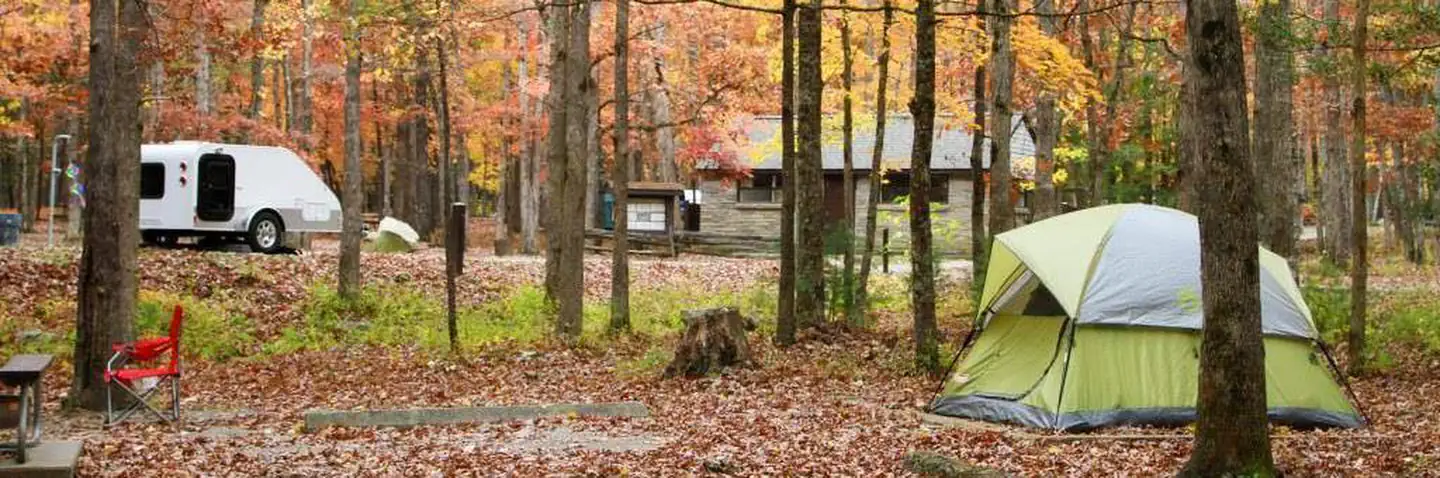
Stay nearby
Campgrounds near this trail


Similar length
Similar trails in Tennessee
Sugarlands Valley Nature Trail [CLOSED]
Tennessee
0.8 km15 mgain
Easy
Falling Water Falls Trail
Tennessee
0.5 km20 mgain
Easy
Bee Rock Overlook
Tennessee
1.1 km30 mgain
Easy
Laurel Falls Loop Trail
Tennessee
0.6 km36 mgain
Easy
Red Fork Falls Trail
Tennessee
1.0 km61 mgain
Moderate
Cane Creek Falls and Suspension Bridge
Tennessee
0.6 km43 mgain
Easy