Status unknown — verify before visiting

We don't have current condition data for this trail. Check with the land manager before you go.

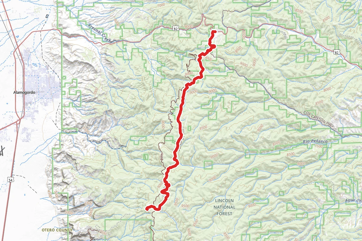
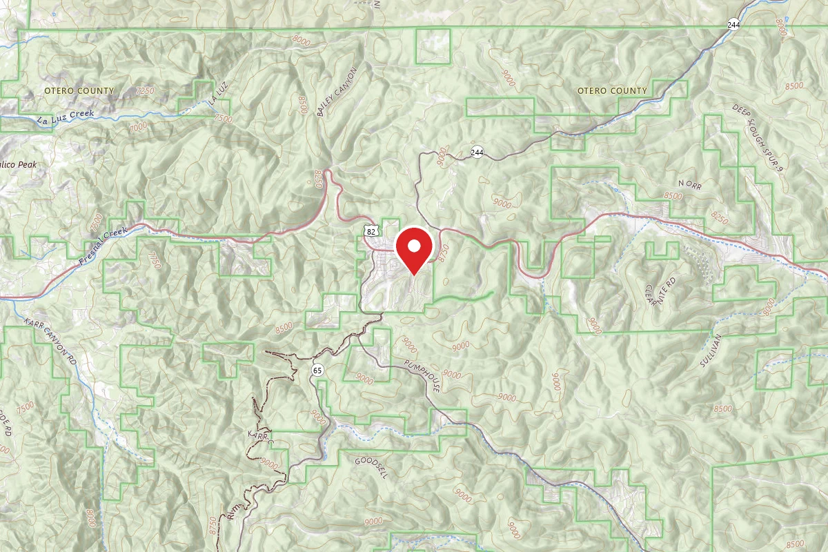
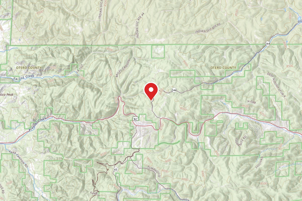
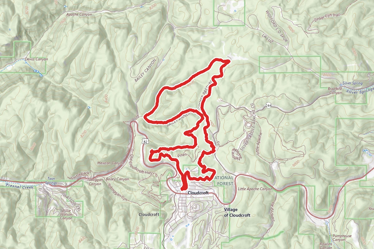
High Altitude Race Course route map
DifficultLoop

High Altitude Race Course

Cloudcroft, New Mexico

9.3 mi

Distance

1,975 ft

Elev. Gain

3h 52m

Est. Time

Loop

Route Type

Difficult

Difficulty

About This Trail

Imported description
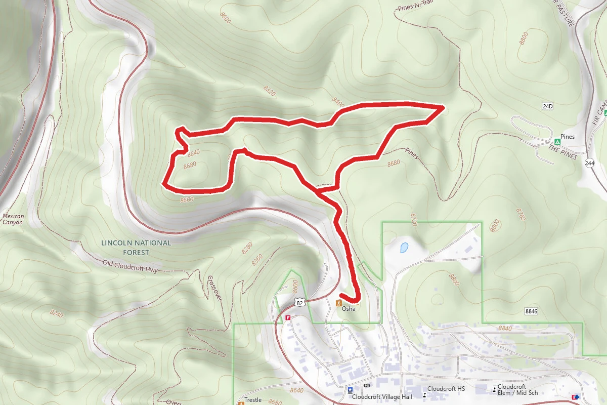
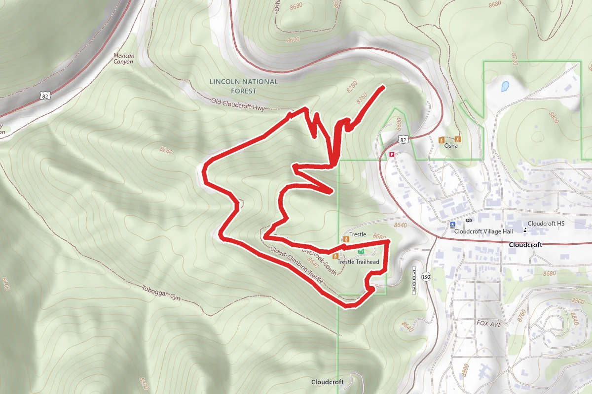
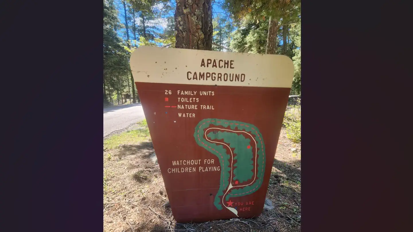
Trail was created for the High Altitude Bike Shop annual race. Varies from single track to gravel road. Trail is well maintained and technical in some areas. Best uses are mountain biking and hiking. The first two miles of the course are mostly down hill, with some fun technical portions. Keep your center of mass as far back as possible to avoid spilling. The race track will be identified by blue marked trees every fifty meters or so. At about mile 1.5 you'll come to a gate and an large developed camp ground to your right. Go through the gate, and look to your 11 o'clock. You'll see another gate and a single track trail moving up at a gradual incline. Follow this trail up a tough, rocky incline for another half mile or so. At about mile 2 you'll come to a gravel road. Turn left on the gravel road and within 50 meters you'll see the trail fork. Take the right fork, cross over a cattle guard, and move into an easy climb, which continues for about a mile and a half. After crossing a second cattle guard, you'll travel another hundred meters or so to an open meadow. You'll see the single track trail continue to your left as soon as you come into the meadow. The next section is a great down hill. You'll find the trail at about mile 3.75. The meadow is easy to spot. Shortly after mile five you'll come to the end of the down hill section and run into a gravel road. At this point you'll take a sharp left onto another gravel road and move into a brutal mile long climb. Around mile 6.25 you'll run into another cattle guard, the only one along this portion of the trail. You'll see a large draw to your right with a well maintained trail marked as Trail 5688. Follow this trail up the draw for another tough climb. You'll run into three trail intersections along the final portion of the course. At the first intersection you'll see a grassy meadow to your right, with a easily identifiable single track trail. Follow this trail (going left will lead you to a dead end). Within a couple hundred meters of this turn off you'll come to another intersection. Going left will take you back to Cloudcroft along a more direct route. Staying to the right will take you through a short down hill section followed by another tough technical climb, eventually linking in with Osha Trail (Trail 10). The final intersection will be marked with a sign identifying the Osha Trail Head parking lot. Going right will take you to the Osha Trail Head parking lot. Going left will take through a brief, rocky up hill section to another gravel road. Take a right at the gravel road, and then its about another 1/4 mile to Cloudcroft.

Trail Conditions

Trail Conditions

Unknown

We have no current condition data for this trail. Check with the operator before you go, and submit a report below if you've been recently.

No recent condition reports. Be the first to share what you see on the trail.

Elevation Profile

Min:2,494 ft
Max:2,709 ft
602 ft
602 ft
2,494 ft2,566 ft2,637 ft2,709 ft0.0 mi2.3 mi4.7 mi7.0 mi9.3 mi

Trail Details

Route Type
Loop
Surface
Dirt

Official sources & verification

We don't have curated agency sources for this trail in our cache yet. Outdoors is not the permitting authority — confirm conditions, permits, and access with the managing agency before you go. If you know who manages this trail, please tell us.

Reviews

No reviews yet

Be the first to share your experience and help others plan their visit.

Legacy import — verify before navigating

Path geometry came from our pre-launch legacy database. Routes have not yet been re-verified against the operator and may differ from the actual trail.

Hunt context

This trail crosses hunting unit

During hunting seasons, wear blaze orange and check regulations — see the New Mexico hunting page

Spot an error in our data on High Altitude Race Course?