Status unknown — verify before visiting

We don't have current condition data for this trail. Check with the land manager before you go.
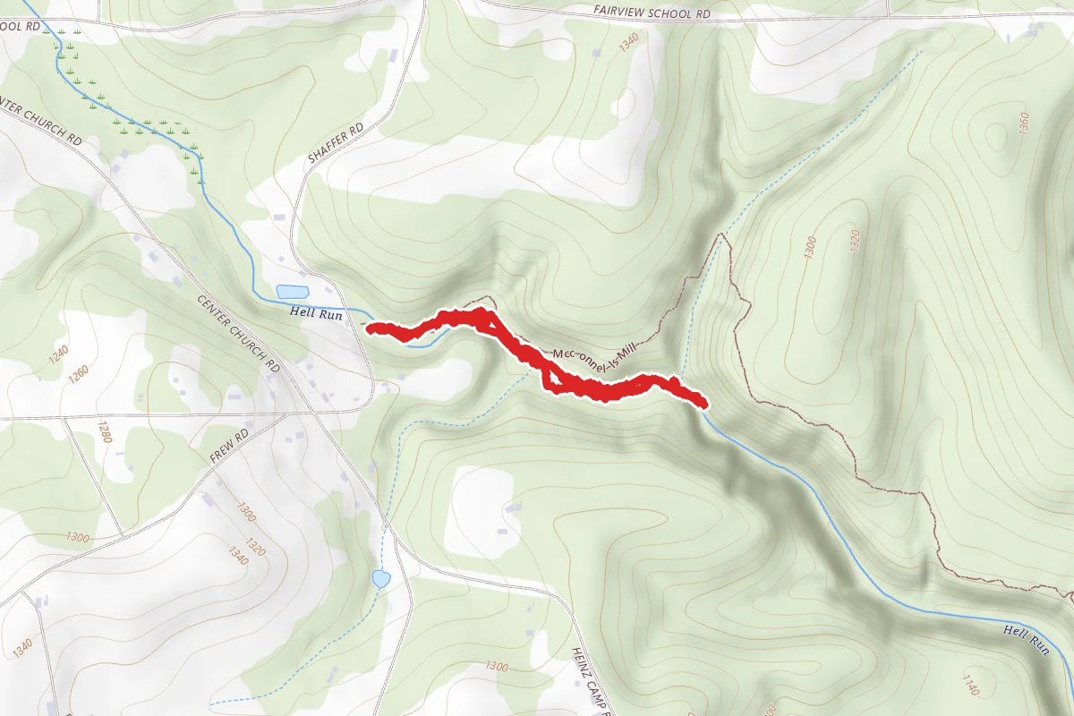
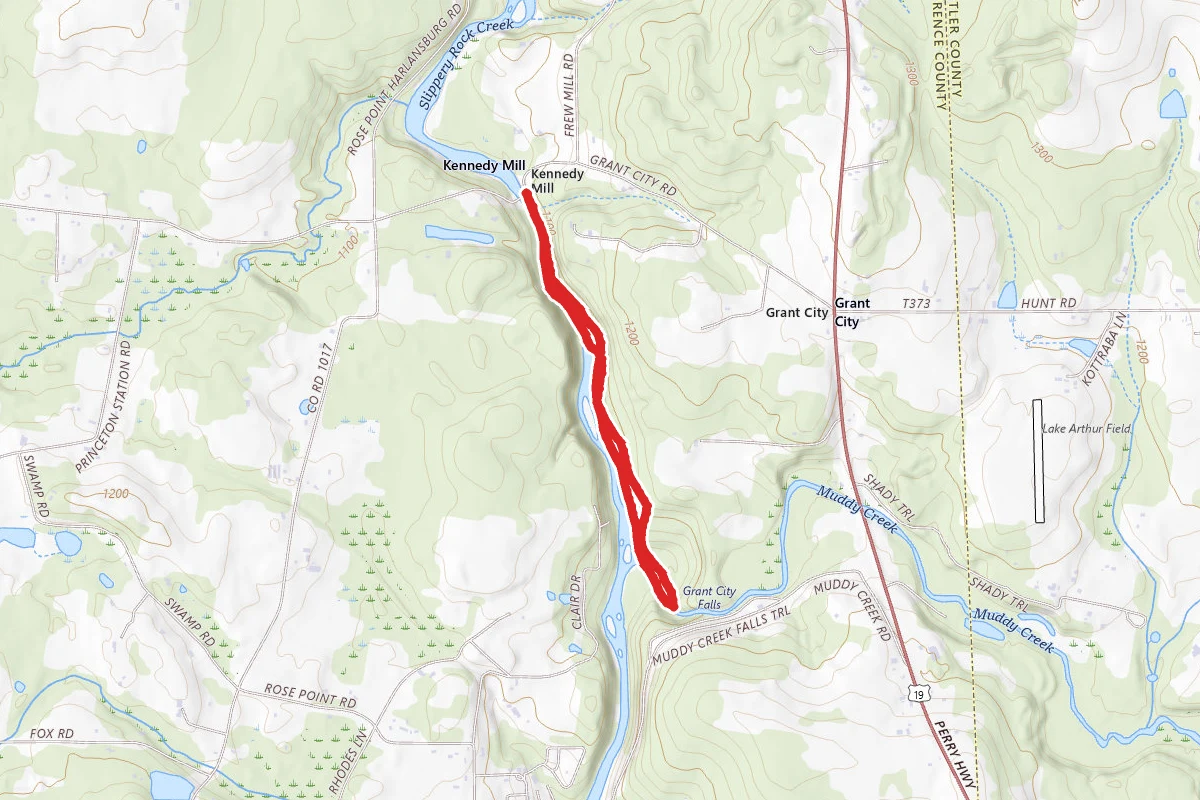
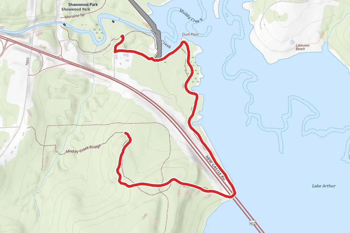
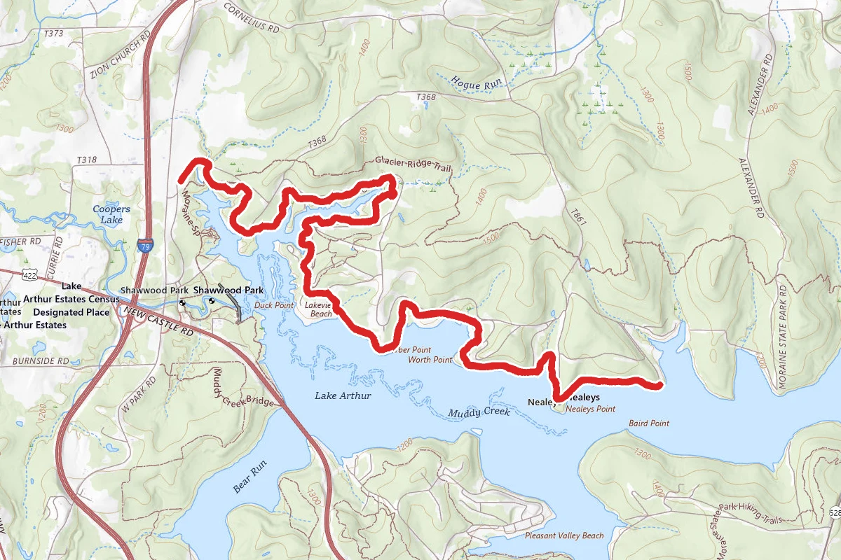
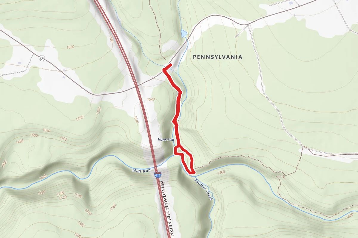
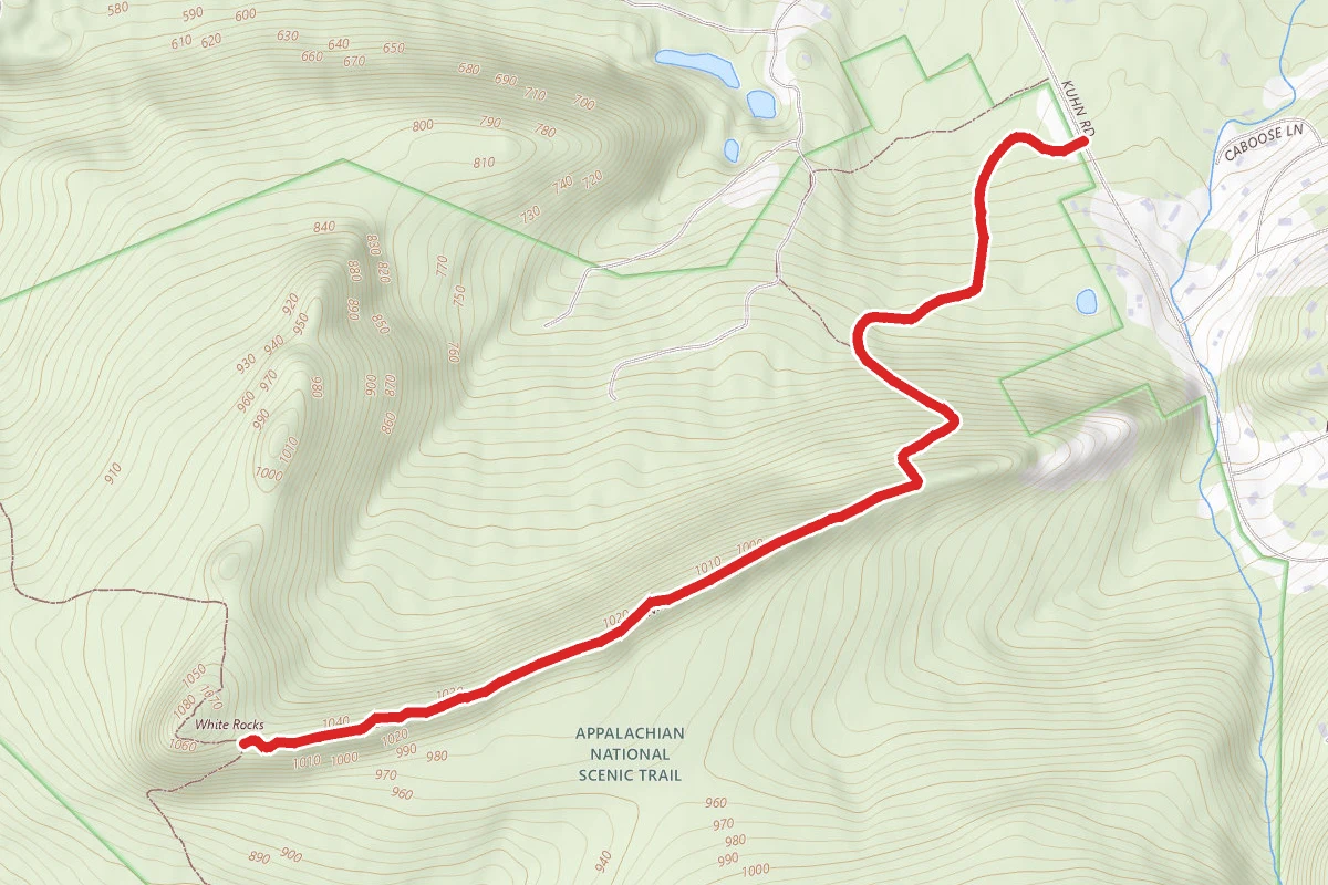
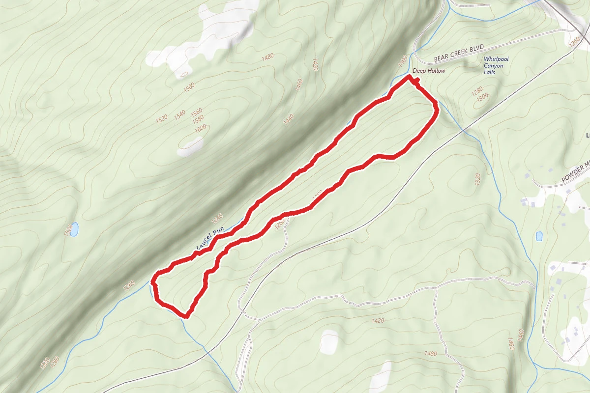
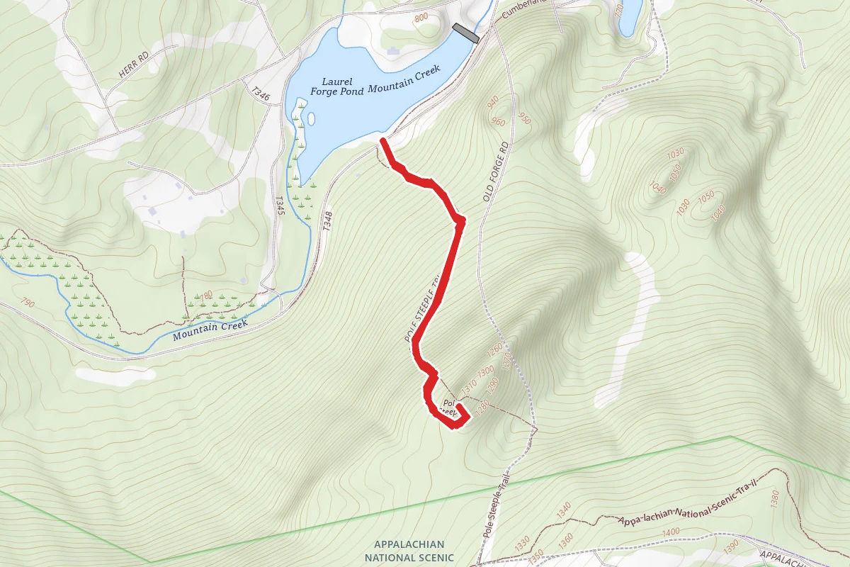
Hell's Hollow Trail route map
EasyOut and Back

Hell's Hollow Trail

Portersville, Pennsylvania

1.2 mi

Distance

141 ft

Elev. Gain

26m

Est. Time

Out & Back

Route Type

Easy

Difficulty

About This Trail

Imported description
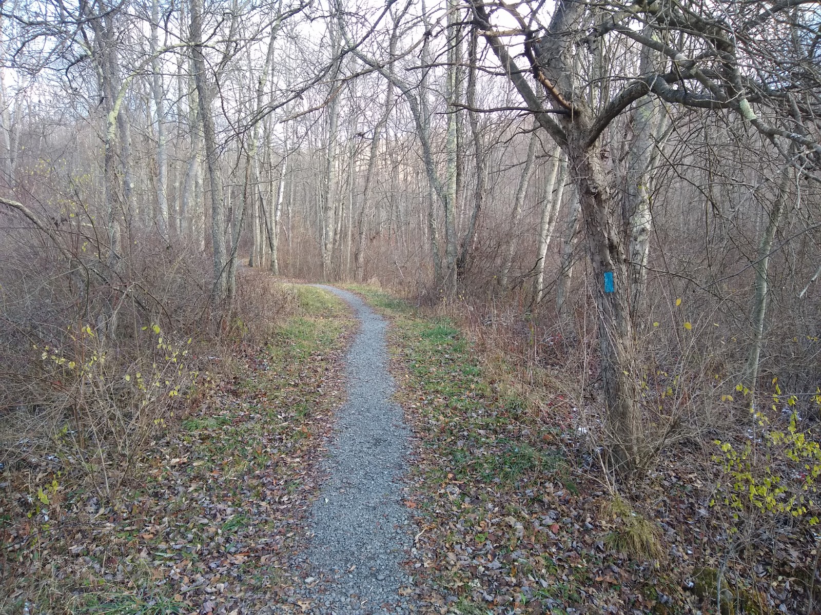
The trail begins with the Slippery Rock Gorge Trail. 6.2 miles, blue blazes, moderate to difficult hiking. Slippery Rock Gorge Trail begins jointly with Hells Hollow Trail at the Hells Hollow parking lot. The Gorge Trail splits off just before the second footbridge. The first two miles of the trail follows the upper Hell Run Valley. The rest of the trail follows the Slippery Rock Creek Gorge north for just over four miles to Eckert Bridge. At about the 3.5-mile point, the trail descends into the deepest part of the gorge. This broad alluvial flood plain is known as Walnut Flats. The trail then becomes more difficult, traversing very steep terrain. At the 5-mile point, the trail crosses uplands then drops back down to creek level and follows along the creek bank to Eckert Bridge. Hikers then cross the Covered Bridge to pick up the Alpha Pass Trail. The road walk goes along Johnson Rd about 1 mile to Rt 19 and then along Burnside Rd about 1 mile to West Park Rd ( N 40 57.433 W 080 07.918) in Moraine State Park. Cross West Park Rd and follow the blue blazes along a dirt road a short distance until the trail drops down through the forest about a mile and crosses under the Rt 422 bridge, then goes about 1.7 miles along the shore of Lake Arthur past the dam and then over to McDanels Launch and trailhead . From the McDanels Launch parking area, hike along the crushed limestone Butterfly Trail to the Bike Rental trailhead at N 40 58.451 W 080 07.668. Bathrooms and a concession are available at the parking area. There is a kiosk with map/brochures and park information at the Glacier Ridge Trail (GRT) trailhead. Follow the single track trail along the woods and drop down to the Hidden River Bridge which crosses an arm of Lake Arthur in Moraine State Park. This bridge was built in 1998 by members of the Butler Outdoor Club, a NCT trail affiliate. The trail climbs and crosses the paved North Shore Bicycle Trail and goes on to cross North Shore Drive where there is a small parking area at N 40 58.482 W 080 07.331. The GRT then meanders through woodland about a mile to Camelot Rd which terminates just north of the trail at N 40 58.571 W 080 06.879. The trail travels along a ridge, drops down and crosses a bridge and meets a side trail to the Link Rd Shelters 1.4 miles away at N40 58.317 W 080 05.727. There are three adirondack style shelters, each with a picnic table and fire ring and a pit toilet a short distance away. The GRT climbs, travels along a ridge and drops down to Mt Union Rd trailhead about 1.5 miles away at N 40 58.025 W 080 04.806. The trail circles below a pond and comes to an intersection with a white blazed northern loop trail. Take the trail to the right to the most direct path to the Marina and Davis Hollow Cabin about .8 miles East.

Trail Conditions

Trail Conditions

Unknown

We have no current condition data for this trail. Check with the operator before you go, and submit a report below if you've been recently.

No recent condition reports. Be the first to share what you see on the trail.

Elevation Profile

Min:356 ft
Max:369 ft
43 ft
43 ft
356 ft360 ft365 ft369 ft0.0 mi0.3 mi0.6 mi0.9 mi1.2 mi

Trail Details

Route Type
Out & Back
Surface
Dirt

Official sources & verification

We don't have curated agency sources for this trail in our cache yet. Outdoors is not the permitting authority — confirm conditions, permits, and access with the managing agency before you go. If you know who manages this trail, please tell us.

Reviews

No reviews yet

Be the first to share your experience and help others plan their visit.

Legacy import — verify before navigating

Path geometry came from our pre-launch legacy database. Routes have not yet been re-verified against the operator and may differ from the actual trail.

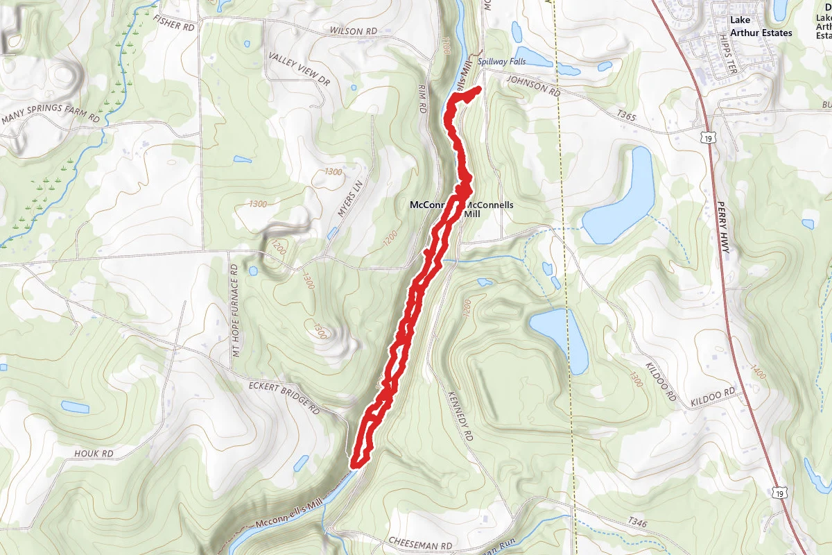
Spot an error in our data on Hell's Hollow Trail?