Moderate
5 mi
Distance
850 ft
Elev. Gain
2h 2m
Est. Time
0.0
0 Reviews
About This Trail
The trail leads along a creek to a small waterfall. The official trailhead is further down the Forest Service Road 87A than on the map. The AllTrails beginning point tells you where to park. All-terrain vehicles are not allowed on the rugged road beyond that point. Hikers will have to start their hike further to the northeast as shown on the AllTrails map.
Trail Details
Out & Back
Route Type
Dirt
Surface
Dogs Allowed (Leash Required)
Dog Policy
Yes
Kid Friendly
No
Permit Required
Elevation Profile
Min:1,532 ft
Max:1,761 ft
259 ft
259 ft
Reviews
No reviews yet
Be the first to share your experience and help others plan their visit.
Trail Conditions
Trail Conditions
Unknown
Updated Unknown
No recent condition reports. Be the first to share what you see on the trail.

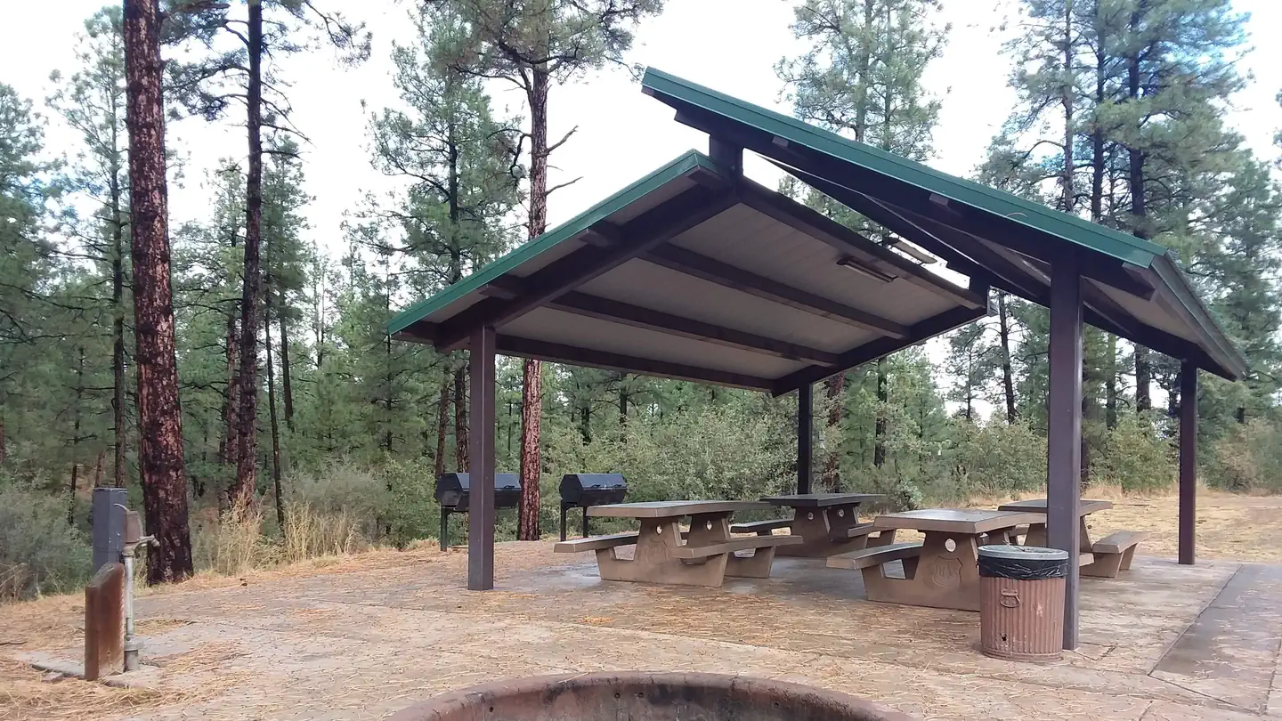
Stay nearby
Campgrounds near this trail
Similar length
Similar trails in Arizona
.jpg/1280px-Grand_Canyon_National_Park_South_Kaibab_Trail_0080_(8136468459).jpg)
South Kaibab Trail to Skeleton Point
Arizona
10.4 km622 mgain
Difficult
Devils Bridge Trail
Arizona
6.8 km228 mgain
Moderate
Flatiron via Siphon Draw Trail
Arizona
8.9 km917 mgain
Difficult
Hieroglyphic Trail
Arizona
4.5 km193 mgain
Moderate
Tom's Thumb Trail
Arizona
6.4 km466 mgain
Difficult
Camelback Mountain via Cholla Trail
Arizona
4.2 km452 mgain
Difficult