Status unknown — verify before visiting
We don't have current condition data for this trail. Check with the land manager before you go.
24.5 mi
Distance
3,238 ft
Elev. Gain
9h 38m
Est. Time
Loop
Route Type
Expert
Difficulty
About This Trail
Imported descriptionTrail Conditions
Trail Conditions
We have no current condition data for this trail. Check with the operator before you go, and submit a report below if you've been recently.
No recent condition reports. Be the first to share what you see on the trail.
Elevation Profile
Trail Details
- Route Type
- Loop
- Surface
- Dirt
Official sources & verification
We don't have curated agency sources for this trail in our cache yet. Outdoors is not the permitting authority — confirm conditions, permits, and access with the managing agency before you go. If you know who manages this trail, please tell us.
Reviews
No reviews yet
Be the first to share your experience and help others plan their visit.
Legacy import — verify before navigating
Path geometry came from our pre-launch legacy database. Routes have not yet been re-verified against the operator and may differ from the actual trail.
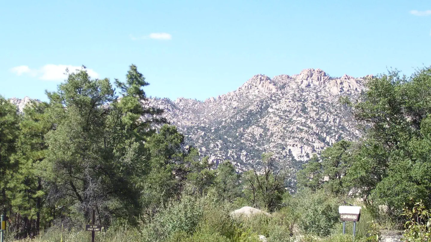
Hunt context
This trail crosses hunting units
During hunting seasons, wear blaze orange and check regulations — see the Arizona hunting page
Nearby Trails
More trails near Granite Basin MTB Loop
Baby Granite Loop Trail from Williamson Valley Trailhead
Mint Wash and Mint Wash Overlook Loop
Mint Wash Overlook Loop
Janet Fort Indian Ruins
Williamson Valley Trailhead to Granite Basin Lake
Mint Wash and Granite Basin Lake Loop
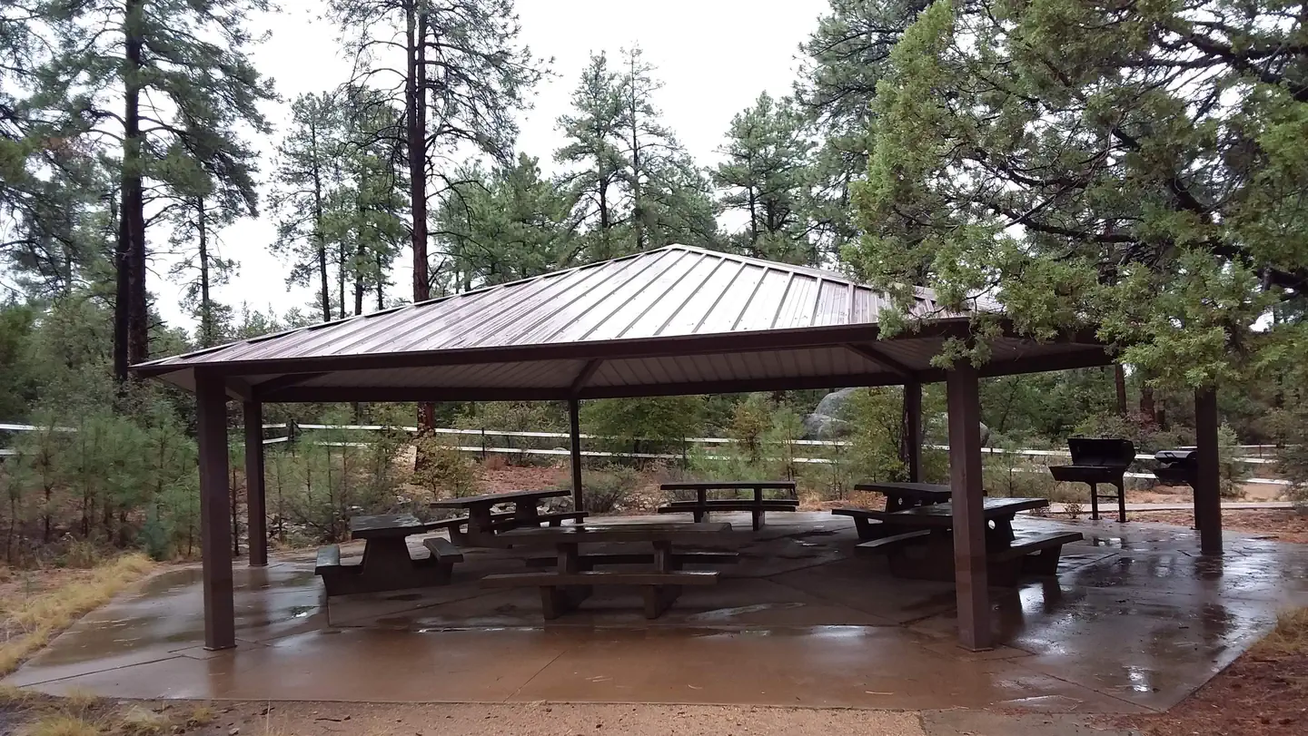
Stay nearby
Campgrounds near this trail
Similar length
Similar trails in Arizona
,_South_Rim_nahe_Tusayan_--_2012_--_5893.jpg/1280px-Grand_Canyon_(Arizona,_USA),_South_Rim_nahe_Tusayan_--_2012_--_5893.jpg)
Rim Trail (South Rim)
Arizona
Bright Angel Trail to Bright Angel Campground and River Trail
Arizona
South Mountain National Trail
Arizona
Window Peak via Ventana Canyon Trail
Arizona
Goat Camp Trail
Arizona
Backway to Crown King
Arizona