Moderate
57.7 mi
Distance
19,596 ft
Elev. Gain
24h 59m
Est. Time
0.0
0 Reviews
About This Trail
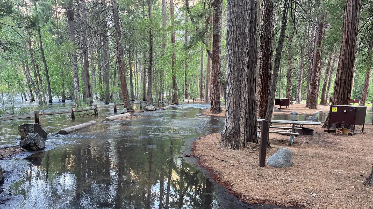
It is a rugged backpack that goes into the Grand Canyon of the Tuolumne. The best time to do this is at the beginning of Spring when the water is high and the weather is cold. It starts at an elevation of just under 9000' and goes down to a low elevation of 888-492-0 888-492-0' 19 miles away. Coming up out of Pate Valley heading towards Harden Lake has an elevation gain of nearly 5,000', so be prepared for thigh quivering demands. The geological wonder, Waterwhell Falls is where the water flows down over a series of grooves in the rocks that can propel it.
Trail Details
Loop
Route Type
Dirt
Surface
No Dogs
Dog Policy
Yes
Kid Friendly
No
Permit Required
Elevation Profile
Min:1,303 ft
Max:3,027 ft
5,973 ft
5,973 ft
Reviews
No reviews yet
Be the first to share your experience and help others plan their visit.
Trail Conditions
Trail Conditions
Unknown
Updated Unknown
No recent condition reports. Be the first to share what you see on the trail.
White Wolf to Pate Valley Trail [CLOSED]
12.4 km
Moderate
![Lukens Lake from White Wolf [CLOSED]](https://www.nps.gov/common/uploads/structured_data/3C873CC3-1DD8-B71B-0B076FC2806DF140.jpg?width=800&quality=80)
Lukens Lake from White Wolf [CLOSED]
7.9 km5.0
Easy
Lukens Lake from White Wolf [CLOSED]
7.9 km
Easy
Grand Canyon of the Tuolumne and Rogers Lake [CLOSED]
66.6 km
Difficult
Harden Lake Trail [CLOSED]
8.5 km
Moderate
Yosemite Creek Trail to Yosemite Creek Campground [CLOSED]
5.6 km
Moderate
In this park
Other trails in Yosemite National Park

Half Dome
California
3.2 km1,463 mgain
Expert

Mirror Lake Loop
California
6.2 km30 mgain
Easy
Yosemite Falls Trail
California
4.8 km823 mgain
Difficult

Four Mile Trail
California
7.7 km975 mgain
Difficult
Upper Yosemite Falls Trail
California
11.6 km1,575 mgain
Difficult
Four Mile Trail
California
14.8 km2,058 mgain
Difficult
Stay nearby
Campgrounds near this trail
Similar length
Similar trails in California
Happy Isles, Vernall Falls, Half Dome, Tenaya Lake, and Mirror Lakes Loop [CLOSED]
California
48.6 km3,379 mgain
Difficult
Rae Lakes Trail
California
66.6 km2,949 mgain
Difficult
Trans-Catalina Trail
California
60.2 km3,306 mgain
Difficult
San Gabriel River Bike Path- San Gabriel Canyon to Seal Beach
California
60.0 km538 mgain
Easy
California Riding and Hiking Trail
California
60.5 km1,250 mgain
Difficult
Cactus Spring Trail
California
49.6 km2,343 mgain
Moderate