Moderate
6.3 mi
Distance
1,532 ft
Elev. Gain
2h 43m
Est. Time
0.0
0 Reviews
About This Trail
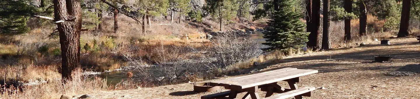
Ask the person behind the kiosk if you can go up Coldstream. There is a park near the tracks at horseshoe bend. The first trail is to the right if you cross the tracks. It is recommended that you follow the map. This hike is not as lengthy as the 10-mile trek which begins in the state park.
Trail Details
Out & Back
Route Type
Dirt
Surface
Dogs Allowed (Leash Required)
Dog Policy
Yes
Kid Friendly
No
Permit Required
Elevation Profile
Min:1,908 ft
Max:2,259 ft
467 ft
467 ft
Reviews
No reviews yet
Be the first to share your experience and help others plan their visit.
Trail Conditions
Trail Conditions
Unknown
Updated Unknown
No recent condition reports. Be the first to share what you see on the trail.

Stay nearby
Campgrounds near this trail
Similar length
Similar trails in California

Mirror Lake Loop
California
6.2 km30 mgain
Easy

Four Mile Trail
California
7.7 km975 mgain
Difficult
.jpg/1280px-Lost_Horse_Mine_Loop_Trail_(16650877030).jpg)
Lost Horse Mine Loop
California
14.0 km152 mgain
Moderate
Potato Chip Rock via Mt. Woodson Trail
California
12.2 km1,108 mgain
Difficult
Eaton Canyon Trail
California
5.6 km279 mgain
Moderate
Iron Mountain Trail
California
8.4 km435 mgain
Moderate