Status unknown — verify before visiting

We don't have current condition data for this trail. Check with the land manager before you go.

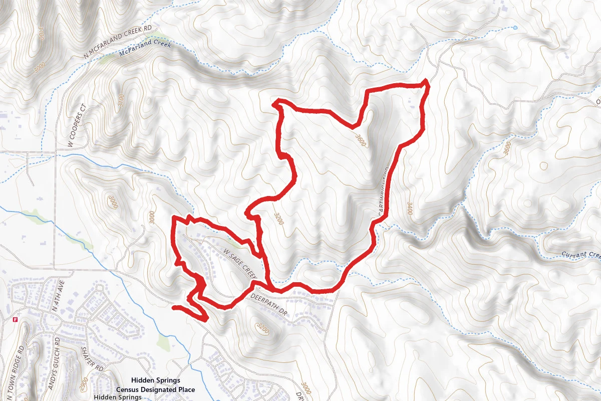
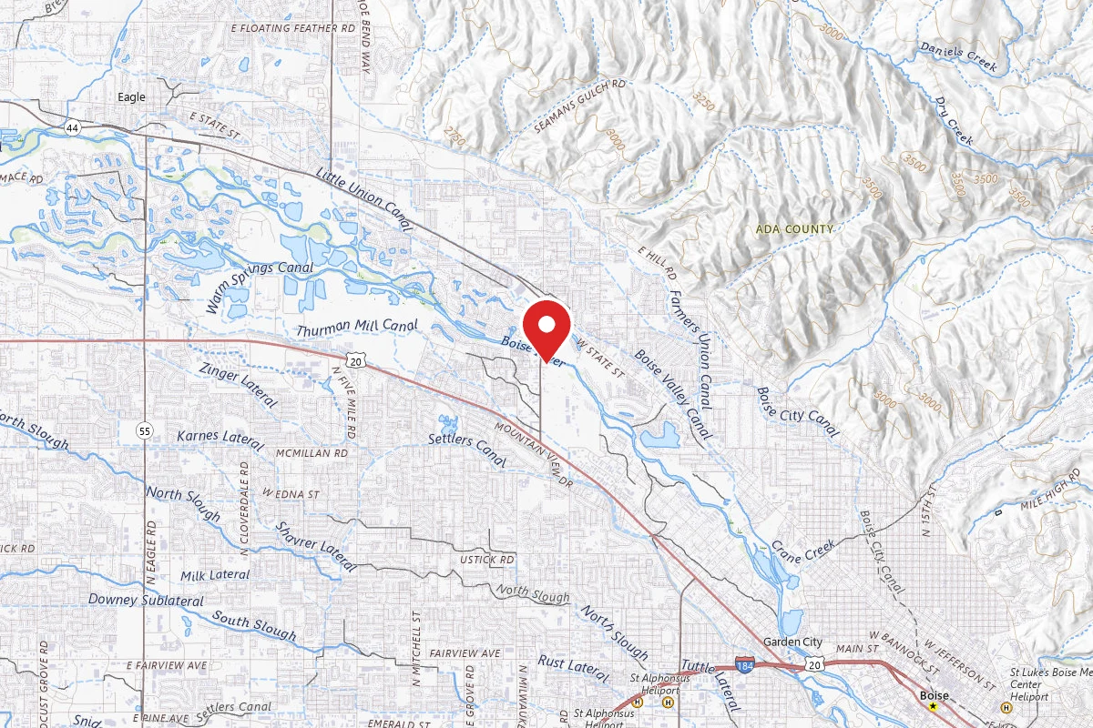
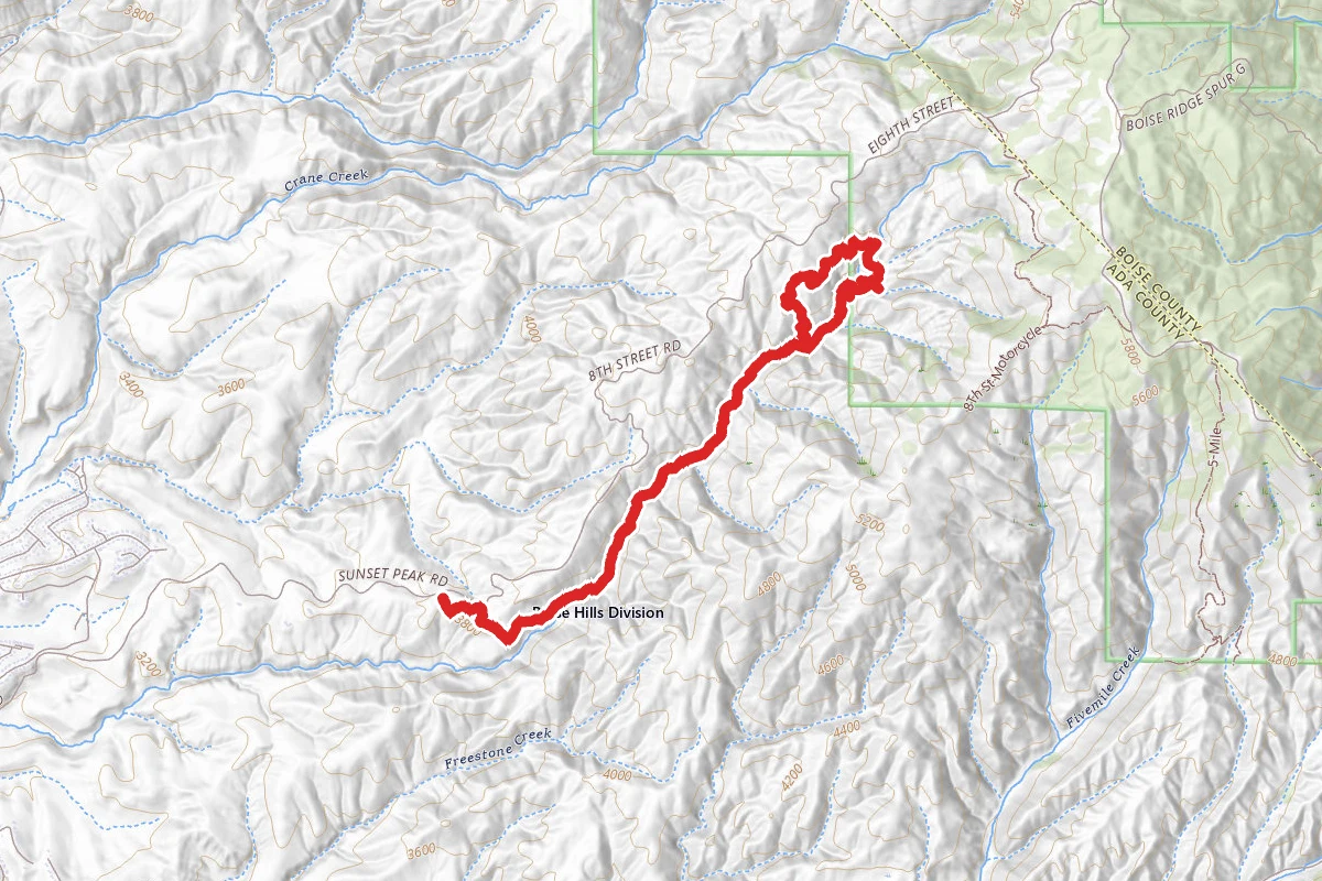
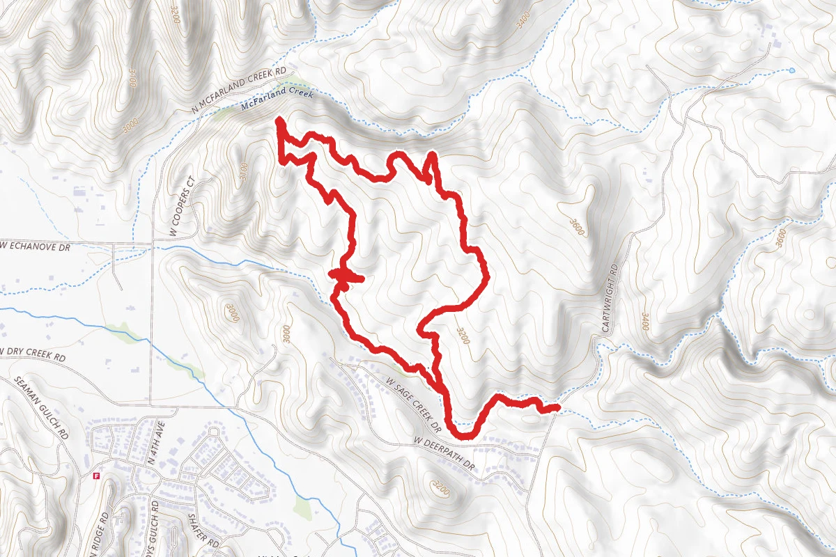
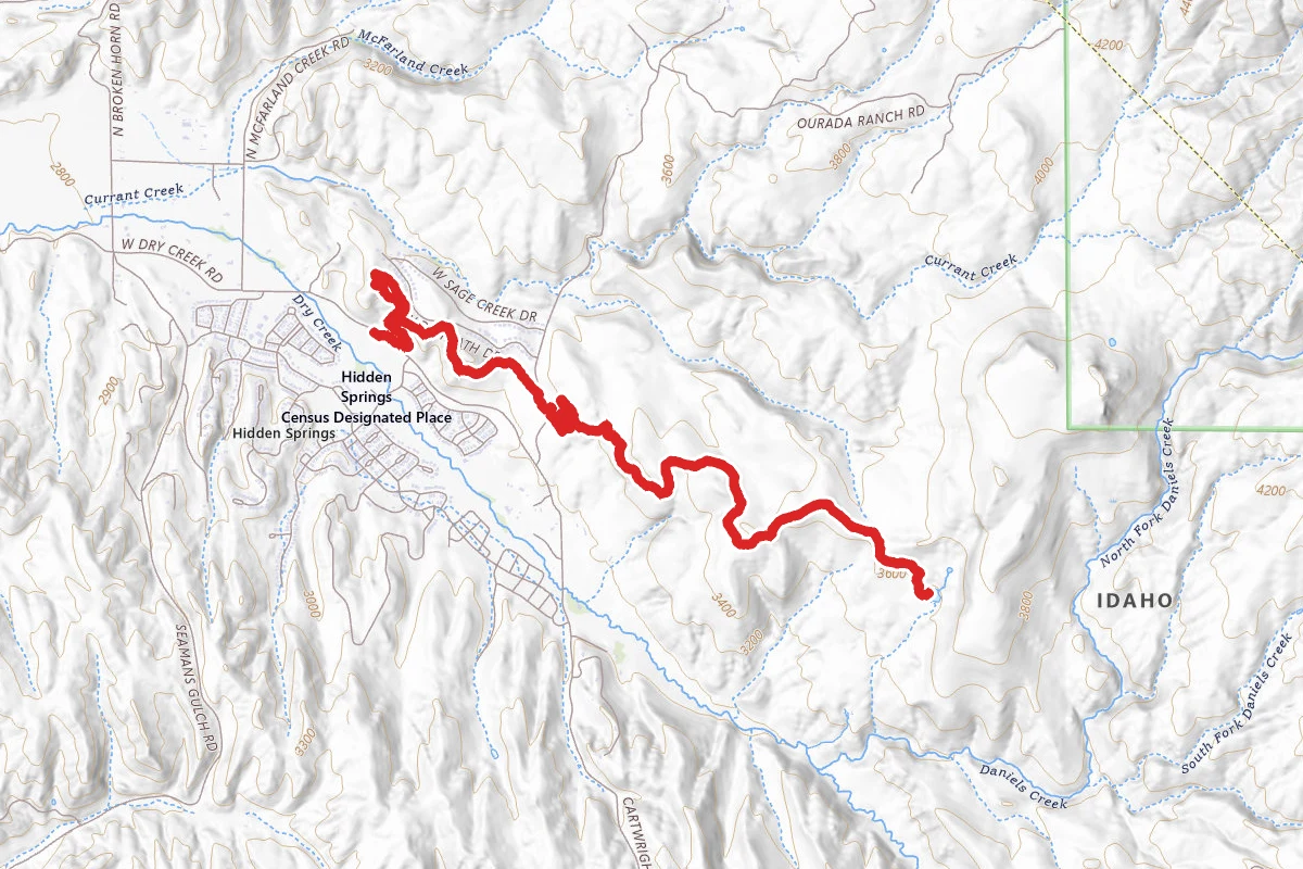
Currant Creek, Landslide Loop and Red Tail Loop route map
ModerateLoop

Currant Creek, Landslide Loop and Red Tail Loop

Garden City, Idaho

4.6 mi

Distance

997 ft

Elev. Gain

1h 49m

Est. Time

Loop

Route Type

Moderate

Difficulty

About This Trail

Imported description
This loop combines the established Current Creek and Red Tail trails with the new (for 2019) Landslide Loop trail. It's quite hot and dry in the summer months, but usable pretty much year-round, except when rain or melting snow has made the trail soggy. If done hiking, it is best done in a clockwise direction, so that you're not surprised by mountain bikers coming down Landslide Loop. For mountain bikers, the opposite applies -- taking it counterclockwise lets you enjoy the fun, flow-y downhill that is Landslide Loop. The trail begins at a small pull-out off the west side of Cartwright Road. From there, head west along the well-marked Currant Creek trail. For wildlife watching, Currant Creek is the highlight of the trail, as it is home to lots of quail, a number of other birds (depending on the time of year), and usually a few mule deer. About a half mile in, Currant Creek merges with Red Tail Trail -- stay to the right. After about another quarter mile, Red Tail heads up the hill, while Currant Creek stays low (hikers should stay on Currant Creek, while mountain bikers should head up Red Tail). After about another half mile, Currant Creek meets up with Landslide Loop. At this point, start climbing up the gentle slope of Landslide Loop. Depending on the time of year, this can be lush grass covered in wildflowers, or a giant expanse of brown. As you climb, there are lots of views of Hidden Springs to the south, and Bogus Basin / Stack Rock to the northeast. About three miles in, you'll start to see glimpses of the landslide that gives the trail its name, and eventually the trail will cross along the top of it. Not long after that, you'll join up with Red Tail trail again -- head on downhill, until it meets up with Currant Creek, and head on back to parking, again keeping an eye out for wildlife along Currant Creek.

Trail Conditions

Trail Conditions

Unknown

We have no current condition data for this trail. Check with the operator before you go, and submit a report below if you've been recently.

No recent condition reports. Be the first to share what you see on the trail.

Elevation Profile

Min:895 ft
Max:1,031 ft
304 ft
304 ft
895 ft940 ft986 ft1,031 ft0.0 mi1.1 mi2.3 mi3.4 mi4.6 mi

Trail Details

Route Type
Loop
Surface
Dirt

Official sources & verification

We don't have curated agency sources for this trail in our cache yet. Outdoors is not the permitting authority — confirm conditions, permits, and access with the managing agency before you go. If you know who manages this trail, please tell us.

Reviews

No reviews yet

Be the first to share your experience and help others plan their visit.

Legacy import — verify before navigating

Path geometry came from our pre-launch legacy database. Routes have not yet been re-verified against the operator and may differ from the actual trail.
Hunt context

This trail crosses hunting units

During hunting seasons, wear blaze orange and check regulations — see the Idaho hunting page

Spot an error in our data on Currant Creek, Landslide Loop and Red Tail Loop?