Moderate
Crescent Lake to Buena Vista Lake [CLOSED]
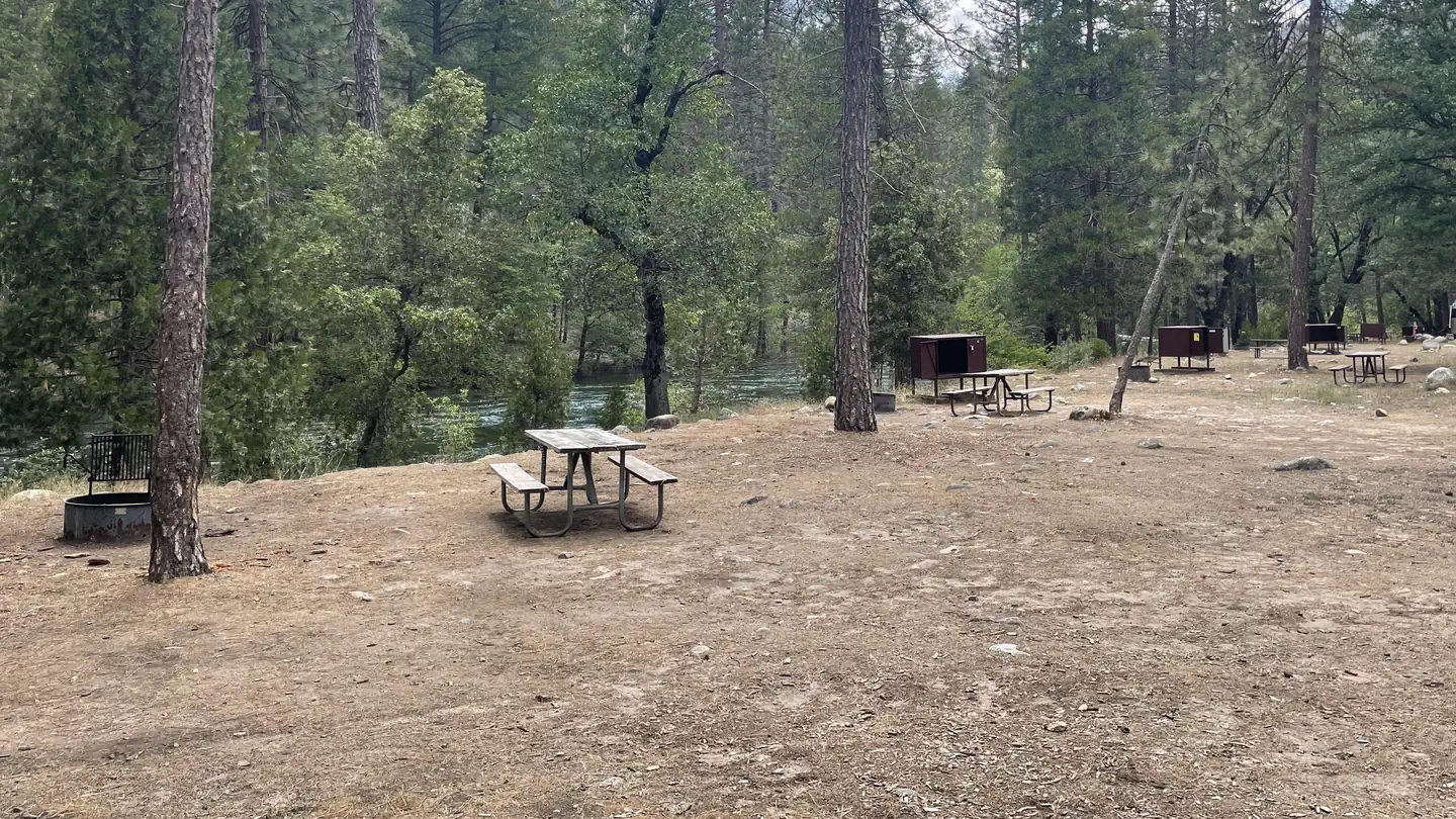
Yosemite Valley, California
5.2 mi
Distance
1,329 ft
Elev. Gain
2h 19m
Est. Time
0.0
0 Reviews
About This Trail
The trail has been temporarily closed due to COVID-19. The park's website has up to date information.
Trail Details
Point to Point
Route Type
Dirt
Surface
No Dogs
Dog Policy
Yes
Kid Friendly
No
Permit Required
Elevation Profile
Min:2,539 ft
Max:2,857 ft
405 ft
211 ft
Reviews
No reviews yet
Be the first to share your experience and help others plan their visit.
Trail Conditions
Trail Conditions
Unknown
Updated Unknown
No recent condition reports. Be the first to share what you see on the trail.
Chain Lakes Trail from Clark Range Trailhead [CLOSED]
16.9 km
Moderate
Swinging Bridge Trail [CLOSED]
1.9 km
Easy
Mariposa Cabin Trail [CLOSED]
3.4 km
Easy
Lower Chilnualna Falls Trail [CLOSED]
1.0 km
Moderate
![Wowona to Half Dome to Yosemite Valley [CLOSED]](https://www.nps.gov/common/uploads/structured_data/3C873CC3-1DD8-B71B-0B076FC2806DF140.jpg?width=800&quality=80)
Wowona to Half Dome to Yosemite Valley [CLOSED]
31.1 km5.0
Difficult
Wowona to Half Dome to Yosemite Valley [CLOSED]
51.8 km
Difficult
In this park
Other trails in Yosemite National Park

Half Dome
California
3.2 km1,463 mgain
Expert

Mirror Lake Loop
California
6.2 km30 mgain
Easy
Yosemite Falls Trail
California
4.8 km823 mgain
Difficult

Four Mile Trail
California
7.7 km975 mgain
Difficult
Upper Yosemite Falls Trail
California
11.6 km1,575 mgain
Difficult
Four Mile Trail
California
14.8 km2,058 mgain
Difficult
Stay nearby
Campgrounds near this trail
Similar length
Similar trails in California
Mirror Lake Loop
California
6.2 km30 mgain
Easy
Yosemite Falls Trail
California
4.8 km823 mgain
Difficult
Four Mile Trail
California
7.7 km975 mgain
Difficult
Potato Chip Rock via Mt. Woodson Trail
California
12.2 km1,108 mgain
Difficult
Cowles Mountain Trail
California
4.8 km327 mgain
Moderate
Eaton Canyon Trail
California
5.6 km279 mgain
Moderate