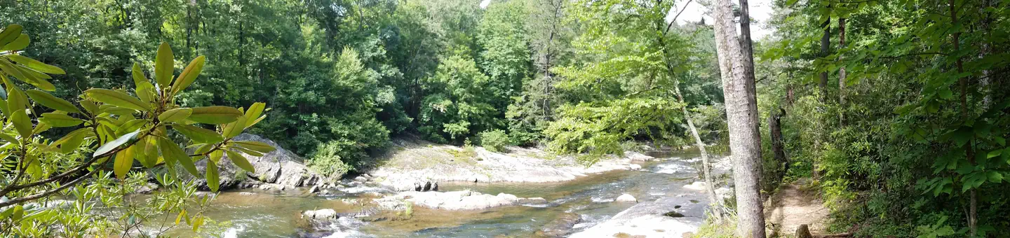
ModerateOut and Back
1.7 mi
Distance
627 ft
Elev. Gain
49m
Est. Time
0.0
0 Reviews
Trail Details
Out & Back
Route Type
Dirt
Surface
Dogs Allowed (Leash Required)
Dog Policy
Yes
Kid Friendly
No
Permit Required
Elevation Profile
Min:1,008 ft
Max:1,156 ft
191 ft
191 ft
Reviews
No reviews yet
Be the first to share your experience and help others plan their visit.
Legacy import — verify before navigating
Path geometry came from our pre-launch legacy database. Routes have not yet been re-verified against the operator and may differ from the actual trail.
Trail Conditions
Trail Conditions
Unknown
We have no current condition data for this trail. Check with the operator before you go, and submit a report below if you've been recently.
No recent condition reports. Be the first to share what you see on the trail.
Nearby Trails
More trails near Crabtree Falls
Crabtree Falls
2.7 km5.0
Moderate
Crabtree Falls Trail Loop
4.2 km
Moderate
Celo Knob Via Black Mountain Crest and Colbert Ridge Trails
22.4 km
Difficult
Colbert Ridge Trail
11.6 km
Difficult
Colbert Ridge to Big Tom Spur to Buncombe Horse Trail Loop
23.3 km
Difficult
Colbert Ridge to Mount Mitchell to Maple Camp Ridge Loop
29.1 km
Difficult
Stay nearby
Campgrounds near this trail
Similar length
Similar trails in North Carolina
Rough Ridge
North Carolina
4.0 km281 mgain
Moderate
Whiteside Mountain National Recreation Trail
North Carolina
3.1 km208 mgain
Moderate
Hanging Rock Trail [CLOSED]
North Carolina
3.9 km194 mgain
Moderate
Max Patch Loop via Appalachian Trail
North Carolina
2.4 km101 mgain
Easy
Sal's Branch Trail
North Carolina
4.0 km118 mgain
Easy
Raven Rock Loop Trail [CLOSED]
North Carolina
3.9 km102 mgain
Moderate
Spot an error in our data on Crabtree Falls?