Status unknown — verify before visiting

We don't have current condition data for this trail. Check with the land manager before you go.

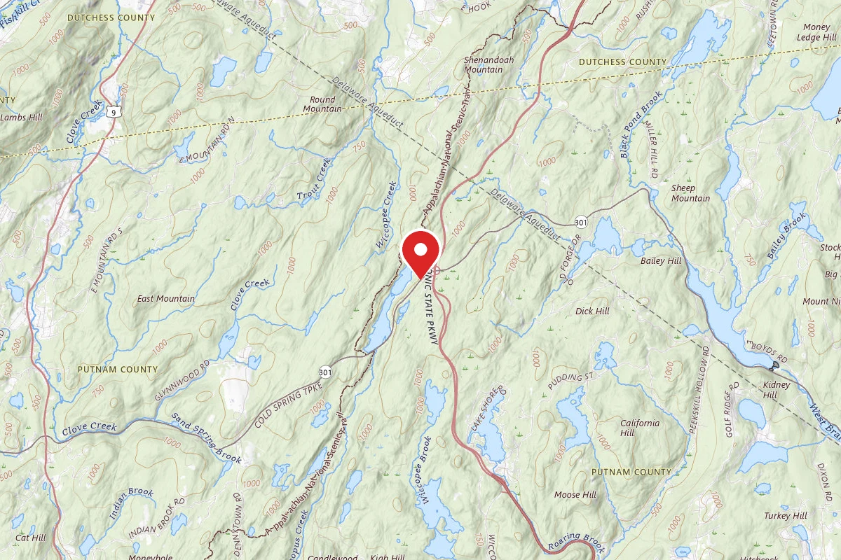
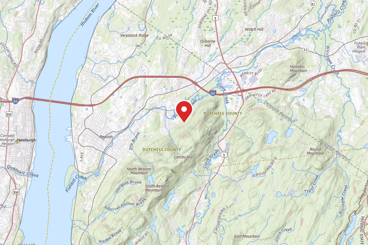
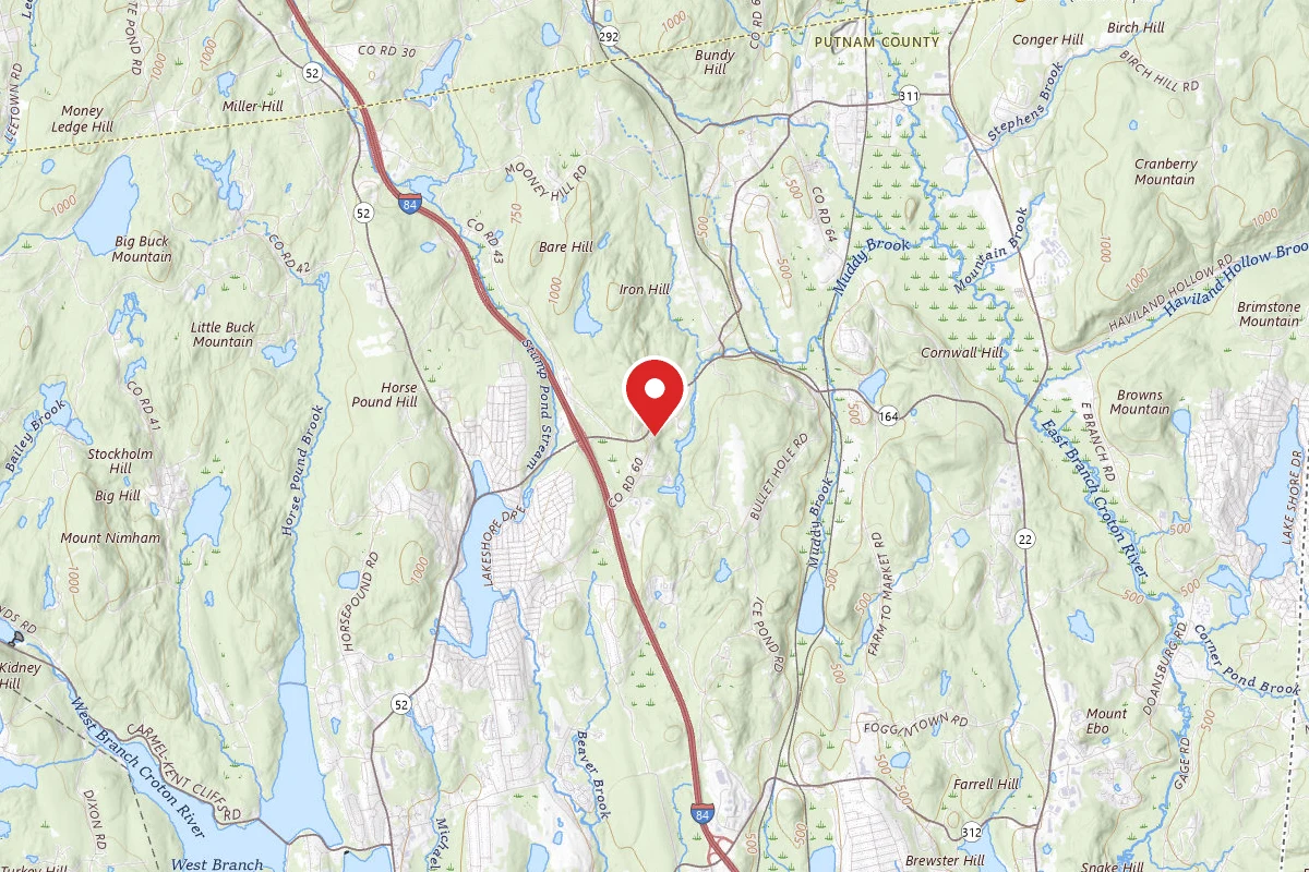
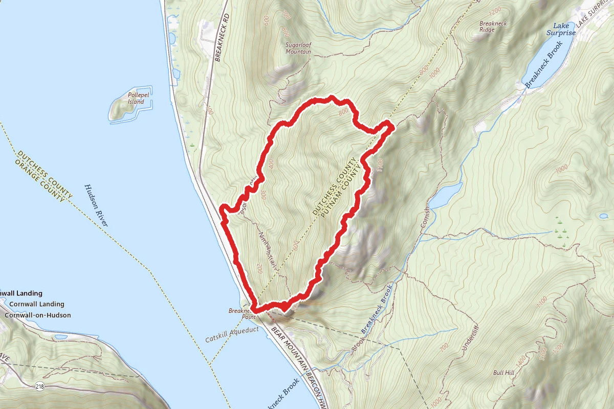
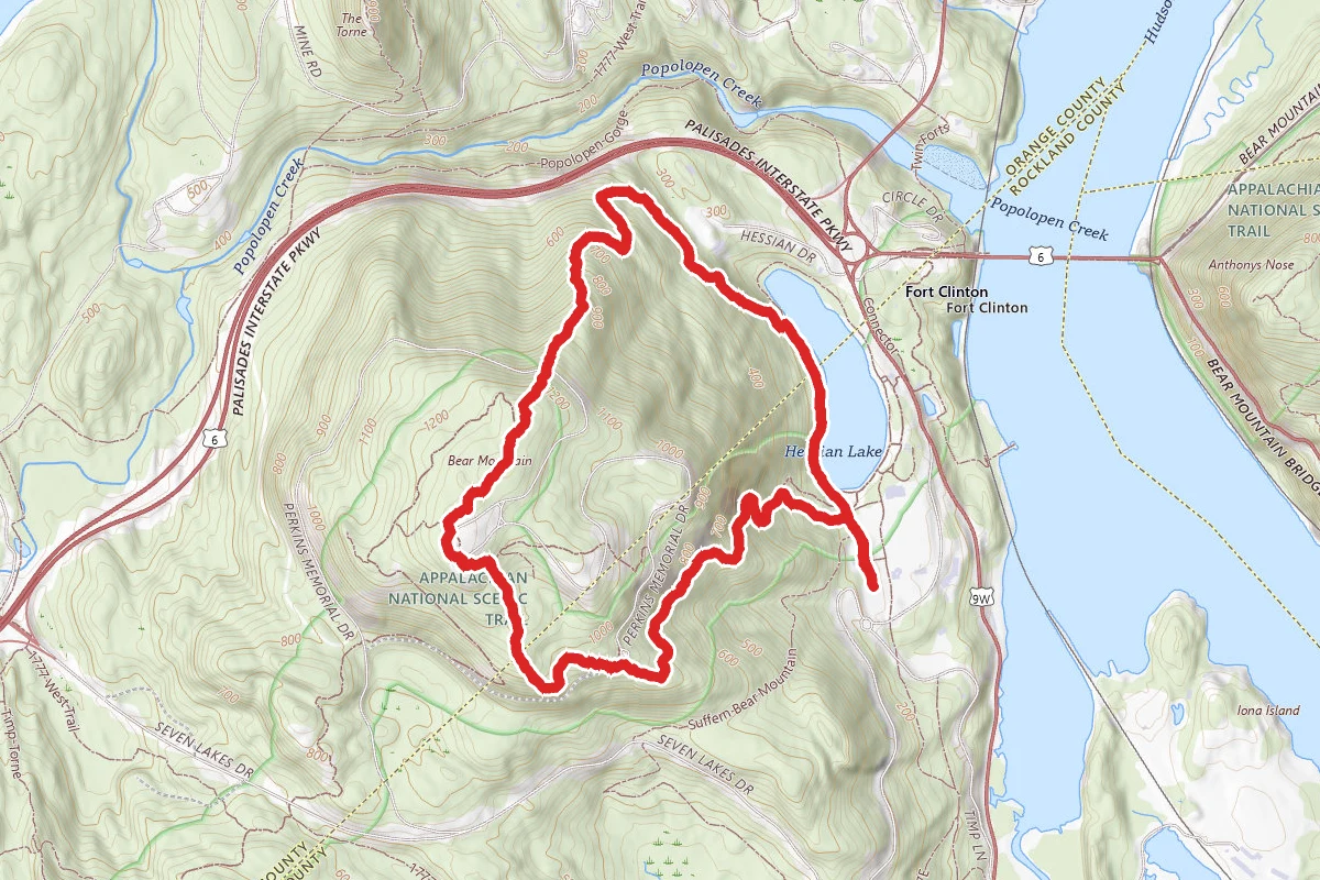
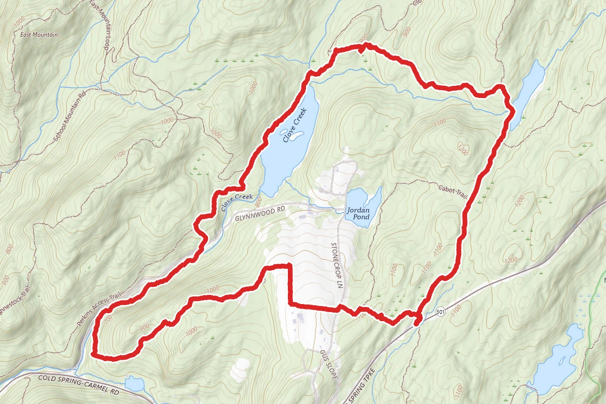
Charcoal Burners, Perkins and Fahnestock Trail Loop route map
ModerateLoop

Charcoal Burners, Perkins and Fahnestock Trail Loop

Cold Spring, New York

6.3 mi

Distance

1,178 ft

Elev. Gain

2h 29m

Est. Time

Loop

Route Type

Moderate

Difficulty

About This Trail

Imported description
This is great hike, particularly if variety is your aim, as it has a number of ups and downs without any of them being too long or strenuous, and, along the way, you pass a couple of ponds (one of which is frequently used for swimming in the summer months), a couple of streams, and, as a change of pace, walk through the Topfield Center for equine rehabilitation, as well as farmland associated with Glynwood. From the parking area along both sides of NY Route 301, head west on the Charcoal Burners Trail (red). After a short distance, where the Charcoal Burners Trail turns right, stay straight at the eastern end of the Perkins Trail (yellow), immediately ascending and then descending a fairly rocky ridge. At 0.4 miles, turn left at the point where the Cabot Trail (white) starts off to the right, after which there are a number of 90-degree turns as you wind your way through the the Glynwood and Topfield properties, where you will likely see horses and sometimes cattle (the latter roaming free). At 1.3 miles you leave the farms behind and enter the woods, eventually descending to a point (2.1 miles) where the trail parallels Clove Creek. At 2.8 miles, you cross the creek on a wooden bridge, then cross Glynwood Road, and immediately begin a short, fairly steep ascent. At 2.9 miles, you reach a woods road, where you turn right to stay on the Perkins Trail. After a few turns, you reach an intersection at 3.3 miles with the Fahnestock Trail (blue), onto which you turn right. This parallels the west side of an unnamed pond. (At 3.7 miles, where you see an old stone fence on the east side of the trail, you can make a short detour to a rock promontory which provides not only a nice view of the pond and its islands, but also has a number of blueberry bushes, making this an excellent place for a rest stop.) At 4.1 miles, turn right (off the woods road you have been following) to stay on the Fahnestock Trail. You continue, with a number of moderate ups and downs, with the Charcoal Burner Trail (red) joining from the left at 5.0 miles. Shortly thereafter, you reach Beaver Pond (swimming in the summer), at which you turn right at a bridge. At 5.3, and again at 5.6 miles, stay straight to stay on the Charcoal Burners Trail, which takes you back to your starting point.

Trail Conditions

Trail Conditions

Unknown

We have no current condition data for this trail. Check with the operator before you go, and submit a report below if you've been recently.

No recent condition reports. Be the first to share what you see on the trail.

Elevation Profile

Min:207 ft
Max:348 ft
359 ft
359 ft
207 ft254 ft301 ft348 ft0.0 mi1.6 mi3.2 mi4.7 mi6.3 mi

Trail Details

Route Type
Loop
Surface
Dirt

Official sources & verification

We don't have curated agency sources for this trail in our cache yet. Outdoors is not the permitting authority — confirm conditions, permits, and access with the managing agency before you go. If you know who manages this trail, please tell us.

Reviews

No reviews yet

Be the first to share your experience and help others plan their visit.

Legacy import — verify before navigating

Path geometry came from our pre-launch legacy database. Routes have not yet been re-verified against the operator and may differ from the actual trail.
Spot an error in our data on Charcoal Burners, Perkins and Fahnestock Trail Loop?