Status unknown — verify before visiting
We don't have current condition data for this trail. Check with the land manager before you go.
8.6 mi
Distance
2,221 ft
Elev. Gain
3h 43m
Est. Time
Loop
Route Type
Difficult
Difficulty
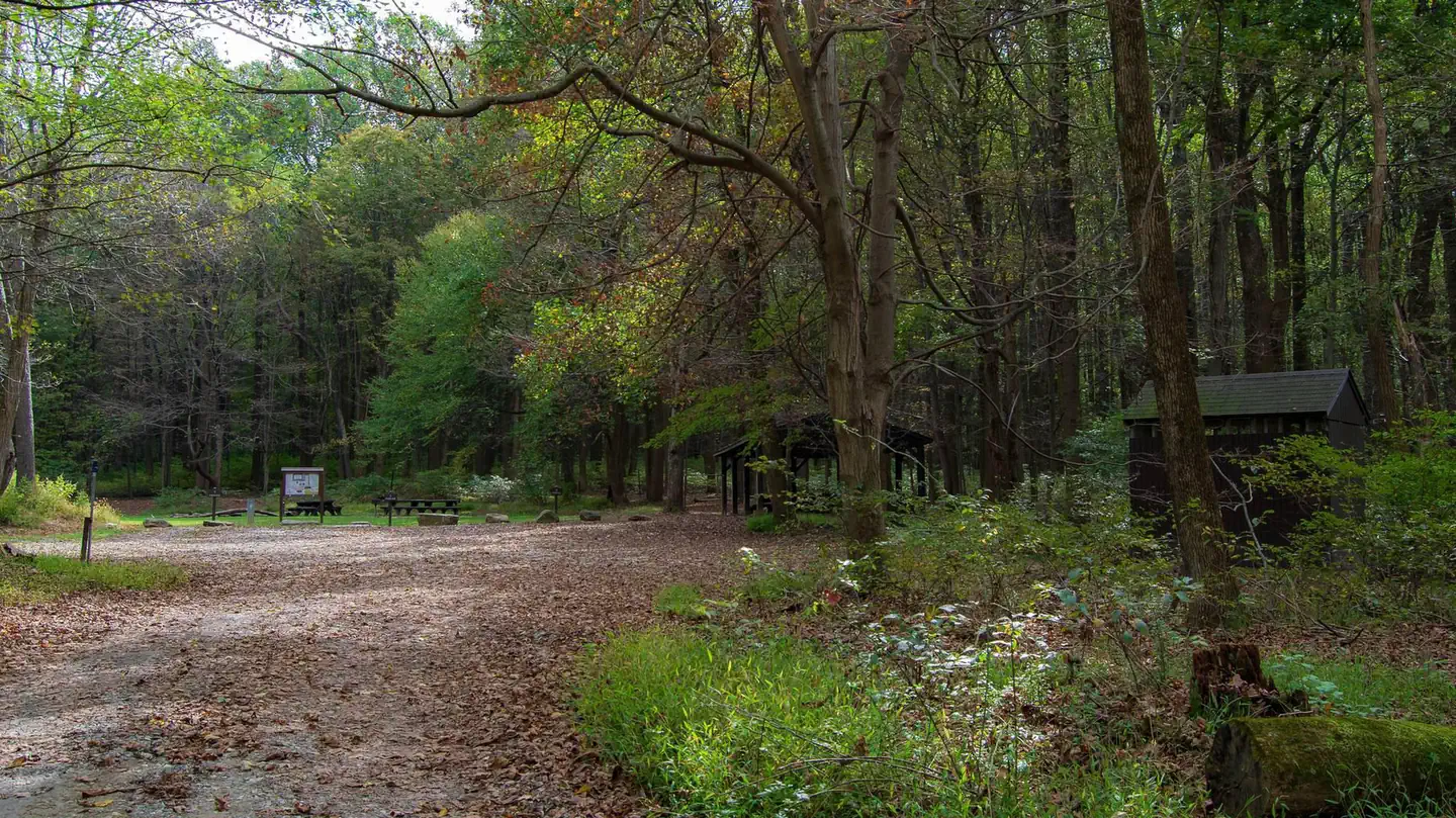
About This Trail
Imported descriptionTrail Conditions
Trail Conditions
We have no current condition data for this trail. Check with the operator before you go, and submit a report below if you've been recently.
No recent condition reports. Be the first to share what you see on the trail.
Elevation Profile
Trail Details
- Route Type
- Loop
- Surface
- Dirt
Official sources & verification
We don't have curated agency sources for this trail in our cache yet. Outdoors is not the permitting authority — confirm conditions, permits, and access with the managing agency before you go. If you know who manages this trail, please tell us.
Reviews
No reviews yet
Be the first to share your experience and help others plan their visit.
Legacy import — verify before navigating
Path geometry came from our pre-launch legacy database. Routes have not yet been re-verified against the operator and may differ from the actual trail.

Cunningham Falls to Hog Rock and Thurmont Vista
Cunningham Falls Nature Trail
Thurmont Vista and Wolf Rock
Cunningham Falls to Hog Rock Vista to Blue Ridge Summit Loop
Wolf Rock & Chimney Rock Trail
Chimney Rock via Thurmont Vista and Wolf Rock
Stay nearby
Campgrounds near this trail
 Reservable
Camp Round Meadow
0.4 mi away · MD
Reservable
Houck - Cunningham Falls State Park
1.3 mi away · MD
Olive Green Cabin
1.3 mi away · MD
 Reservable
Poplar Grove Youth Group Campground
1.6 mi away · MD
Catoctin Mountain National Park Poplar Grove Youth Group Campground
2.1 mi away · MD
Reservable
Owens Creek Campground - Catoctin Mountain Park
2.5 mi away · MD
Similar length
Similar trails in Maryland
Annapolis Rock via Appalachian Trail
Maryland
Bacon Ridge Trail
Maryland
Great Falls Overlook Loop
Maryland
Gambrill Yellow Trail
Maryland
Rosaryville Perimeter Trail
Maryland
BWI Trail
Maryland