Status unknown — verify before visiting
We don't have current condition data for this trail. Check with the land manager before you go.
9.5 mi
Distance
4,508 ft
Elev. Gain
5h 3m
Est. Time
Out & Back
Route Type
Expert
Difficulty
About This Trail
Imported descriptionTrail Conditions
Trail Conditions
We have no current condition data for this trail. Check with the operator before you go, and submit a report below if you've been recently.
No recent condition reports. Be the first to share what you see on the trail.
Elevation Profile
Trail Details
- Route Type
- Out & Back
- Surface
- Dirt
Official sources & verification
We don't have curated agency sources for this trail in our cache yet. Outdoors is not the permitting authority — confirm conditions, permits, and access with the managing agency before you go. If you know who manages this trail, please tell us.
Reviews
No reviews yet
Be the first to share your experience and help others plan their visit.
Legacy import — verify before navigating
Path geometry came from our pre-launch legacy database. Routes have not yet been re-verified against the operator and may differ from the actual trail.
Hunt context
This trail crosses hunting units
During hunting seasons, wear blaze orange and check regulations — see the Arizona hunting page

Mount Bigelow Trail
Palisade Trail to East Fork Trail
Palisades to Mudd Springs
Incinerator Ridge to Leopold Point
Kellogg Trail- Incineration Peak, Leopold Point and San Pedro Vista
Knagge Trail
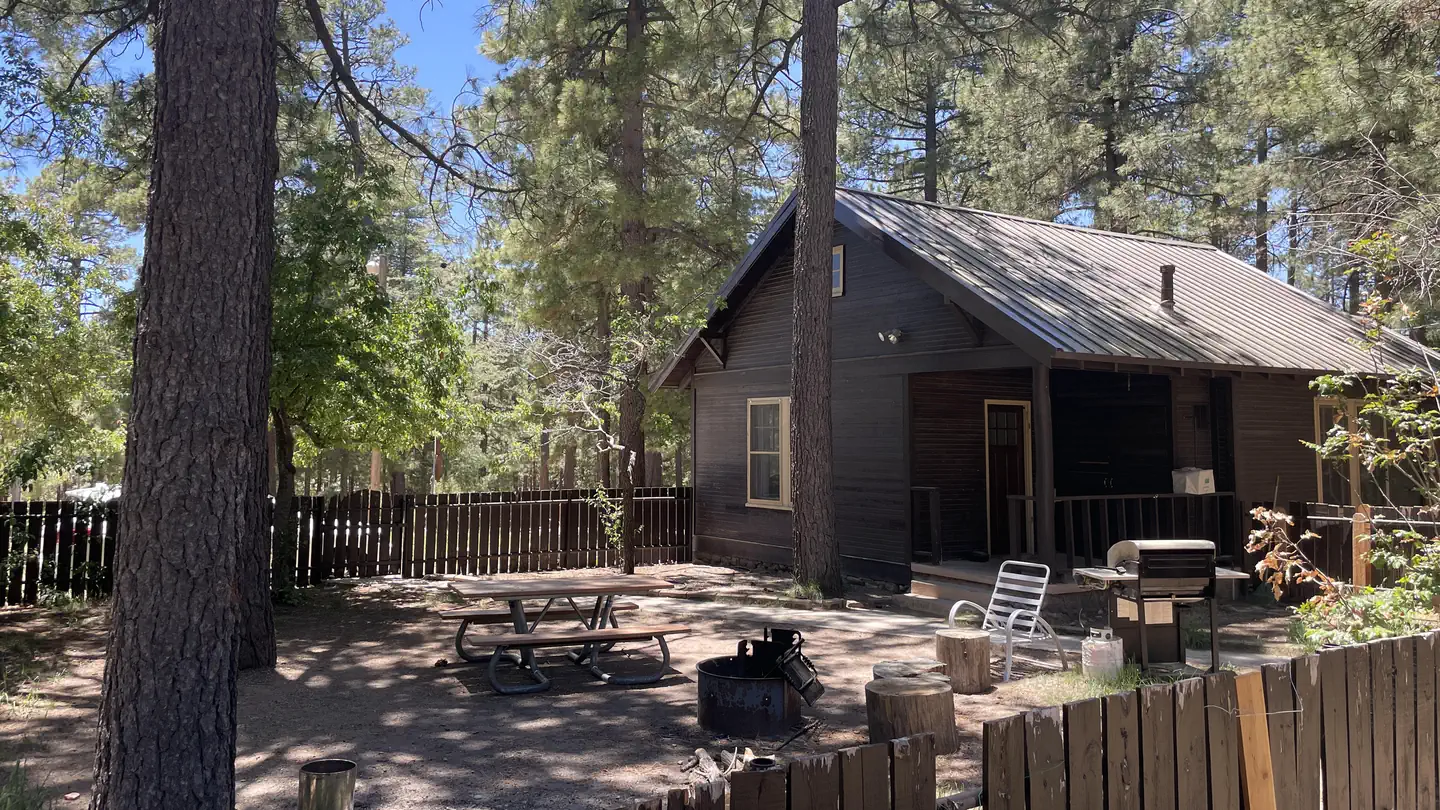
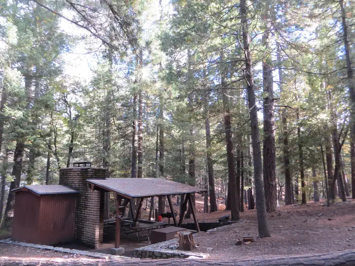
Stay nearby
Campgrounds near this trail
Similar length
Similar trails in Arizona
.jpg/1280px-Grand_Canyon_National_Park_South_Kaibab_Trail_0080_(8136468459).jpg)
South Kaibab Trail to Skeleton Point
Arizona
.jpg/1280px-Grand_Canyon_National_Park_Bright_Angel_Trail_-_Sunset_0162_(6924462211).jpg)
Bright Angel Trail to Indian Garden
Arizona
,_South_Rim_nahe_Tusayan_--_2012_--_5893.jpg/1280px-Grand_Canyon_(Arizona,_USA),_South_Rim_nahe_Tusayan_--_2012_--_5893.jpg)
Rim Trail (South Rim)
Arizona
Flatiron via Siphon Draw Trail
Arizona

Humphrey's Peak
Arizona
Bear Canyon to Seven Falls Trail
Arizona