Difficult
6.4 mi
Distance
2,201 ft
Elev. Gain
2h 54m
Est. Time
0.0
0 Reviews
About This Trail
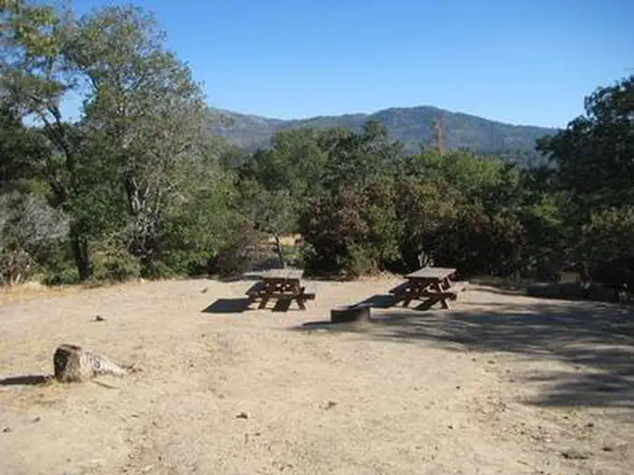
You can follow Forest Road 2N33 west if you want to reach the top. There is a trail that goes down to another trail by the lake after the dirt road is close to the lake. Head back towards the east once you get on the lake trail. The trail will become a bike path after you cross the stream and there is a trail on your left going through Miller Canyon. You can walk through the campground parking lot until you reach the trail head.
Trail Details
Loop
Route Type
Dirt
Surface
Dogs Allowed (Leash Required)
Dog Policy
Yes
Kid Friendly
No
Permit Required
Elevation Profile
Min:1,030 ft
Max:1,447 ft
671 ft
671 ft
Reviews
No reviews yet
Be the first to share your experience and help others plan their visit.
Trail Conditions
Trail Conditions
Unknown
Updated Unknown
No recent condition reports. Be the first to share what you see on the trail.

Stay nearby
Campgrounds near this trail
Reservable
Silverwood Lake State Recreation Area Campground
3.3 mi away · CA
Antler Lodge
4 mi away · CA
Reservable
Mojave River Forks Regional Park
4.3 mi away · CA
 Reservable
Dogwood
4.9 mi away · CA
Reservable
Lake Arrowhead - Green Valley Lake Recreation Area
7 mi away · CA
 Reservable
North Shore Campground
7.2 mi away · CA
Similar length
Similar trails in California

Mirror Lake Loop
California
6.2 km30 mgain
Easy

Four Mile Trail
California
7.7 km975 mgain
Difficult
.jpg/1280px-Lost_Horse_Mine_Loop_Trail_(16650877030).jpg)
Lost Horse Mine Loop
California
14.0 km152 mgain
Moderate
Potato Chip Rock via Mt. Woodson Trail
California
12.2 km1,108 mgain
Difficult
Eaton Canyon Trail
California
5.6 km279 mgain
Moderate
Iron Mountain Trail
California
8.4 km435 mgain
Moderate