Status unknown — verify before visiting
We don't have current condition data for this trail. Check with the land manager before you go.
37.3 mi
Distance
9,380 ft
Elev. Gain
15h 32m
Est. Time
Point to Point
Route Type
Expert
Difficulty
About This Trail
We don't have an editorial description for Bucktail Path in our cache yet. The planning stats above (distance, elevation gain, estimated time, route type) come from the source listed on this trail.
For current conditions, closures, and route notes, check the official sources below — they're the authority for this trail, not us. Spot something we should add?
Trail Conditions
Trail Conditions
We have no current condition data for this trail. Check with the operator before you go, and submit a report below if you've been recently.
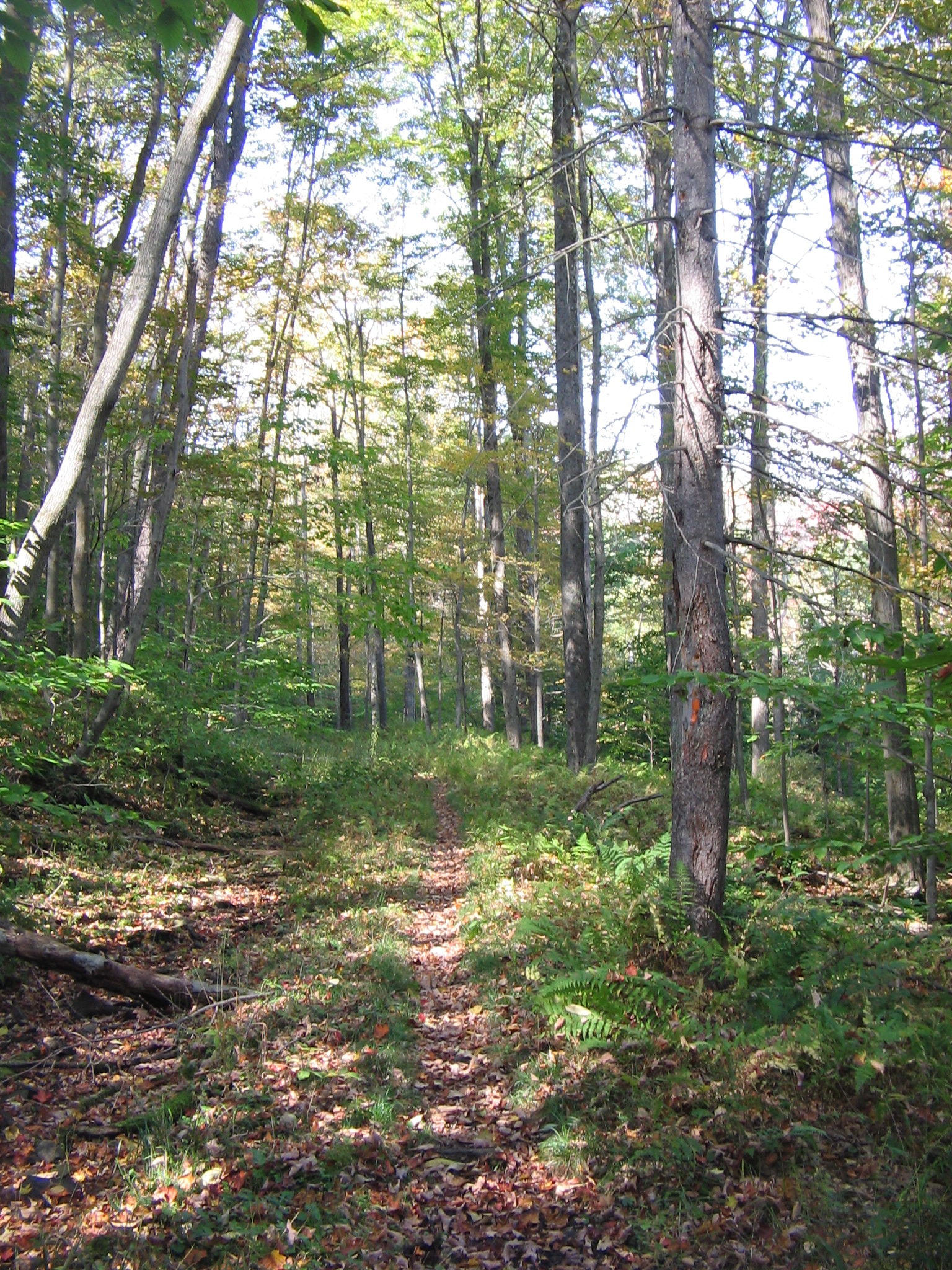
On PA DCNR Elk State Forest land; ~34 mi orange-blazed backpacking route, sections maintained with the Keystone Trails Association.
No recent condition reports. Be the first to share what you see on the trail.
Elevation Profile
Trail Details
- Route Type
- Point to Point
- Surface
- Dirt
Official sources & verification
We don't have curated agency sources for this trail in our cache yet. Outdoors is not the permitting authority — confirm conditions, permits, and access with the managing agency before you go. If you know who manages this trail, please tell us.
Reviews
No reviews yet
Be the first to share your experience and help others plan their visit.
Legacy import — verify before navigating
Path geometry came from our pre-launch legacy database. Routes have not yet been re-verified against the operator and may differ from the actual trail.

Stay nearby
Campgrounds near this trail
Similar length
Similar trails in Pennsylvania
Blue Marsh Trail
Pennsylvania

Montour Trail
Pennsylvania
Old Loggers Path
Pennsylvania
D&L Trail (Lehigh Gorge Trail)
Pennsylvania
Tioga West Rim Trail
Pennsylvania

Laurel Highlands Hiking Trail
Pennsylvania