Status unknown — verify before visiting

We don't have current condition data for this trail. Check with the land manager before you go.
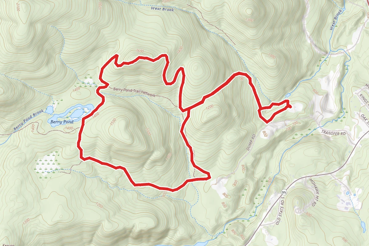
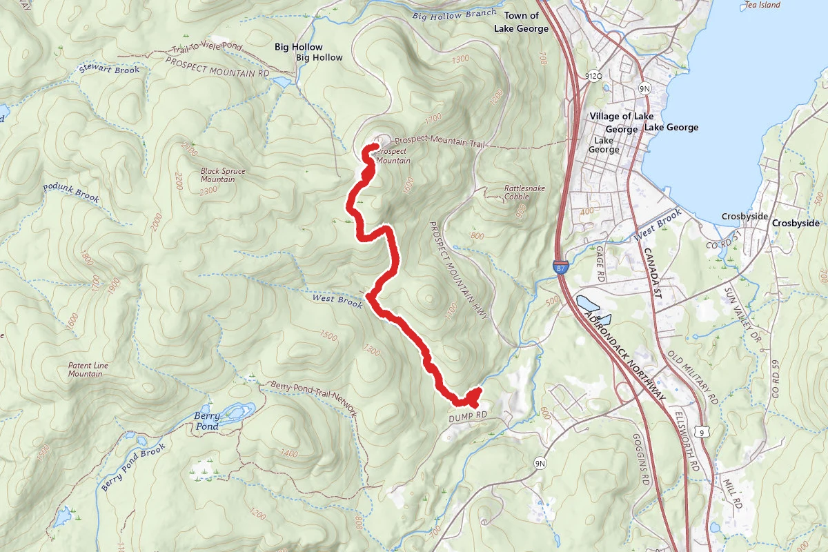
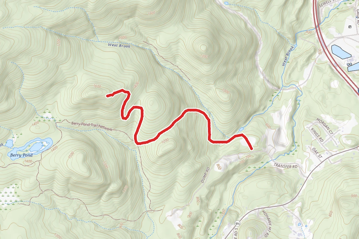
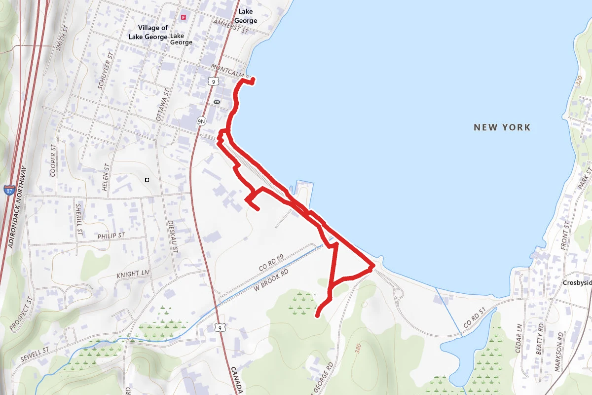
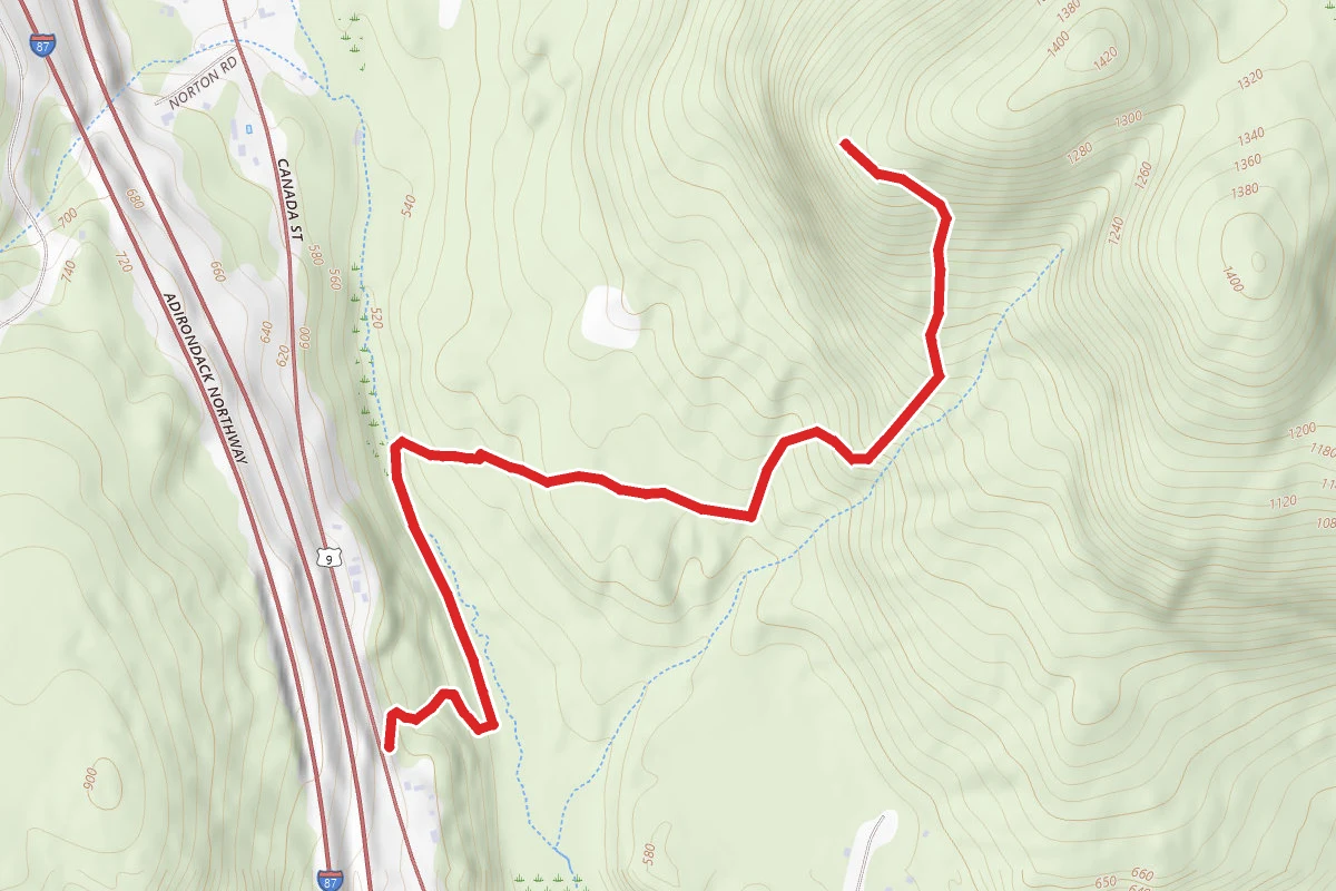
Berry Pond Trail route map
DifficultLoop

Berry Pond Trail

Lake George, New York

5.8 mi

Distance

1,621 ft

Elev. Gain

2h 41m

Est. Time

Loop

Route Type

Difficult

Difficulty

About This Trail

Imported description
A great trail system that can offer a moderately challenging hike or an easier one depending on which route you choose. Great views of Lake George and surrounding valley. The Preserve includes Berry Pond, a pristine wetlands and open water wilderness that is home to an active beaver community and contains a small great blue heron rookery. The highpoints of the land provide expansive views of Lake George to the Narrows and southern views to Butler Pond and the lower Adirondacks. The tract is one of only two tracts specifically targeted in DECs Lake George Open Space Conservation Plan for purchase. Situated adjacent to the existing Lake George Recreation Center, the Berry Pond tract will provide significantly expanded outdoor recreational resources for residents and area guests. Access to the Berry Pond trails is gained through the Village of Lake Georges Recreation Center trail system. The trails are identified with LGLCs Blue markers. The Blue trail leads hikers off of the Rec. Center trails and ascends 280-feet over 0.4 miles to the Berry Pond land boundary. After another 0.2 miles, the Blue trail intersects with the Orange trail. Hikers can then choose to continue along the Blue trail to reach views looking north at Lake George (1620-ft elevation) and south (1640-ft elevation). This is a 520-ft elevation gain over approx. 1 mile. From the initial junction of the Orange and Blue trails, the Orange trail follows a logging road for 0.56 miles 300-ft elevation gain) to the second junction with the Blue Trail. The Orange trail then leads southwest for 0.1 miles to the Berry Pond loop. Following the loop clockwise, the trail continues along the logging road for approx. 0.25 miles before cutting into the woods for a forested, pond-side trail for the remaining 0.75 miles of the loop.

Trail Conditions

Trail Conditions

Unknown

We have no current condition data for this trail. Check with the operator before you go, and submit a report below if you've been recently.

No recent condition reports. Be the first to share what you see on the trail.

Elevation Profile

Min:222 ft
Max:511 ft
494 ft
494 ft
222 ft318 ft415 ft511 ft0.0 mi1.4 mi2.9 mi4.3 mi5.8 mi

Trail Details

Route Type
Loop
Surface
Dirt

Official sources & verification

We don't have curated agency sources for this trail in our cache yet. Outdoors is not the permitting authority — confirm conditions, permits, and access with the managing agency before you go. If you know who manages this trail, please tell us.

Reviews

No reviews yet

Be the first to share your experience and help others plan their visit.

Legacy import — verify before navigating

Path geometry came from our pre-launch legacy database. Routes have not yet been re-verified against the operator and may differ from the actual trail.

Spot an error in our data on Berry Pond Trail?