Status unknown — verify before visiting
We don't have current condition data for this trail. Check with the land manager before you go.
0.5 mi
Distance
167 ft
Elev. Gain
10m
Est. Time
Out & Back
Route Type
Easy
Difficulty
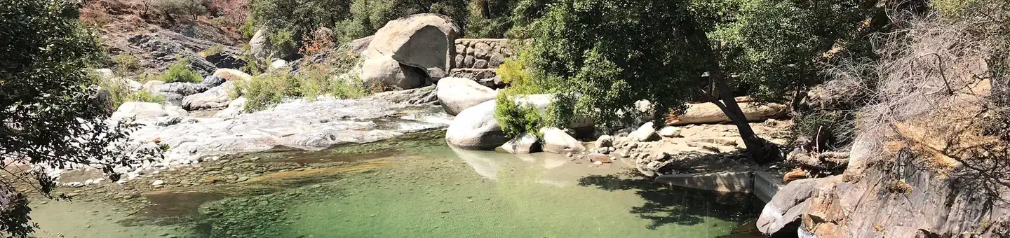
About This Trail
Imported descriptionTrail Conditions
Trail Conditions
We have no current condition data for this trail. Check with the operator before you go, and submit a report below if you've been recently.
No recent condition reports. Be the first to share what you see on the trail.
Elevation Profile
Trail Details
- Route Type
- Out & Back
- Surface
- Dirt
Official sources & verification
Managed by National Park Service
Source of truth
- National Park Service unit page
Alerts, conditions, and the unit's plan-your-visit page.
Verify by phone or mail
- Operator:559-565-3341
- Address:CA
Reviews
No reviews yet
Be the first to share your experience and help others plan their visit.
Legacy import — verify before navigating
Path geometry came from our pre-launch legacy database. Routes have not yet been re-verified against the operator and may differ from the actual trail.
Hunt context
This trail crosses hunting units
During hunting seasons, wear blaze orange and check regulations — see the California hunting page

In this park
Other trails in Sequoia National Park
Tokopah Falls via Tokopah Valley Trail
California
General Sherman Tree Trail
California
Heather Lake, Emerald Lake, and Pear Lake Trail via Watchtower and Pear Lake Trails
California
Weaver Lake Trail
California
Alta Peak Trail
California
Heather Lake via Watchtower Trail
California
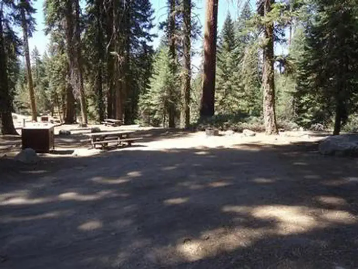
Stay nearby
Campgrounds near this trail

Similar length
Similar trails in California
Hidden Falls Trail
California
General Grant Loop Trail
California
Mobius Arch Loop Trail
California
Wildwood Canyon Trail
California
Eagle Rock Trail
California
Saddle Rock Trail
California