Status unknown — verify before visiting
We don't have current condition data for this trail. Check with the land manager before you go.
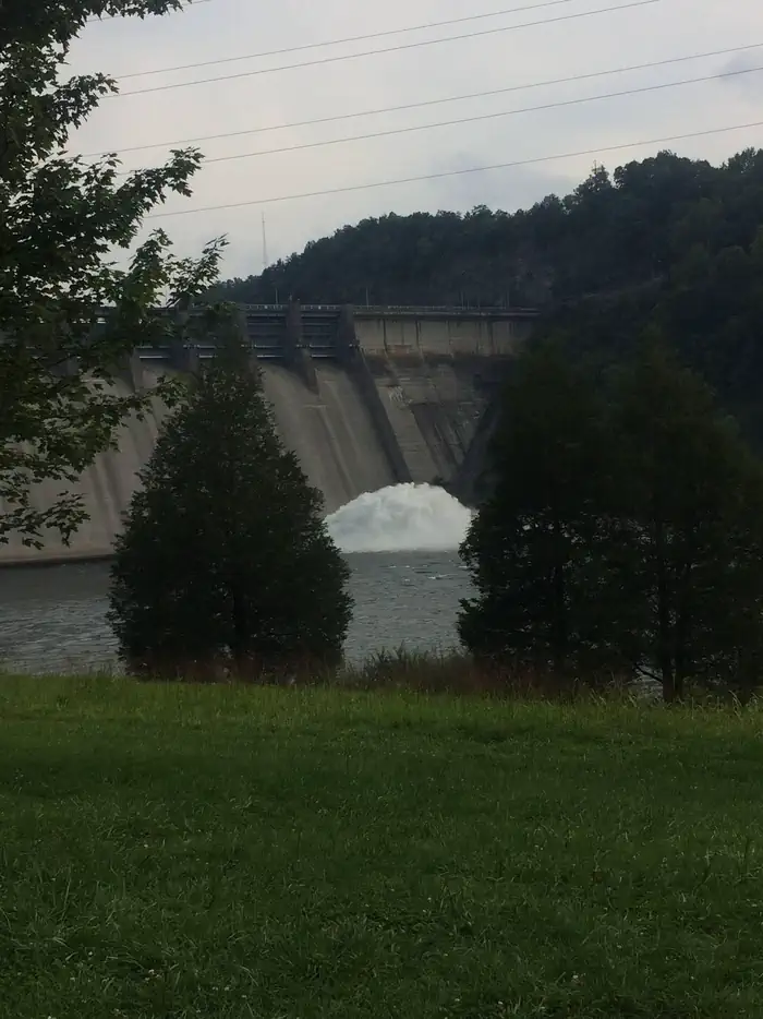
Baugh Branch Trail
Jamestown, Kentucky
3.2 mi
Distance
692 ft
Elev. Gain
1h 19m
Est. Time
Out & Back
Route Type
Moderate
Difficulty
About This Trail
Imported descriptionTrail Conditions
Trail Conditions
We have no current condition data for this trail. Check with the operator before you go, and submit a report below if you've been recently.
No recent condition reports. Be the first to share what you see on the trail.
Elevation Profile
Trail Details
- Route Type
- Out & Back
- Surface
- Dirt
Official sources & verification
Managed by State Agency (Other Than Military)
Verify by phone or mail
- Address:KY
Reviews
No reviews yet
Be the first to share your experience and help others plan their visit.
Legacy import — verify before navigating
Path geometry came from our pre-launch legacy database. Routes have not yet been re-verified against the operator and may differ from the actual trail.
Nearby Trails
More trails near Baugh Branch Trail
In this park
Other trails in Wolf Creek Dam - Lake Cumberland — Lake Cumberland State Park
Stay nearby
Campgrounds near this trail
Similar length
Similar trails in Kentucky
Gray's Arch Trail Loop
Kentucky
Eagle Falls Trail
Kentucky
Dog Slaughter Falls Trail
Kentucky
Auxier Ridge Trail to Courthouse Rock
Kentucky
Natural Bridge and Battleship Rock Trail
Kentucky
Cherokee Park Trail
Kentucky