Status unknown — verify before visiting
We don't have current condition data for this trail. Check with the land manager before you go.
7.0 mi
Distance
256 ft
Elev. Gain
2h 24m
Est. Time
Point to Point
Route Type
Moderate
Difficulty
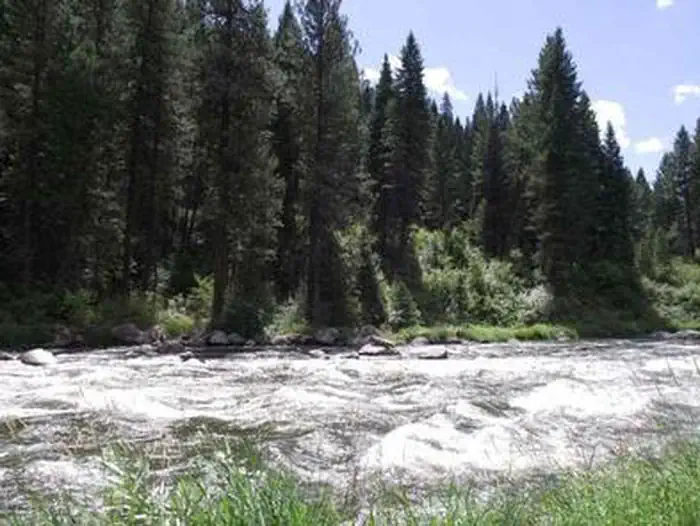
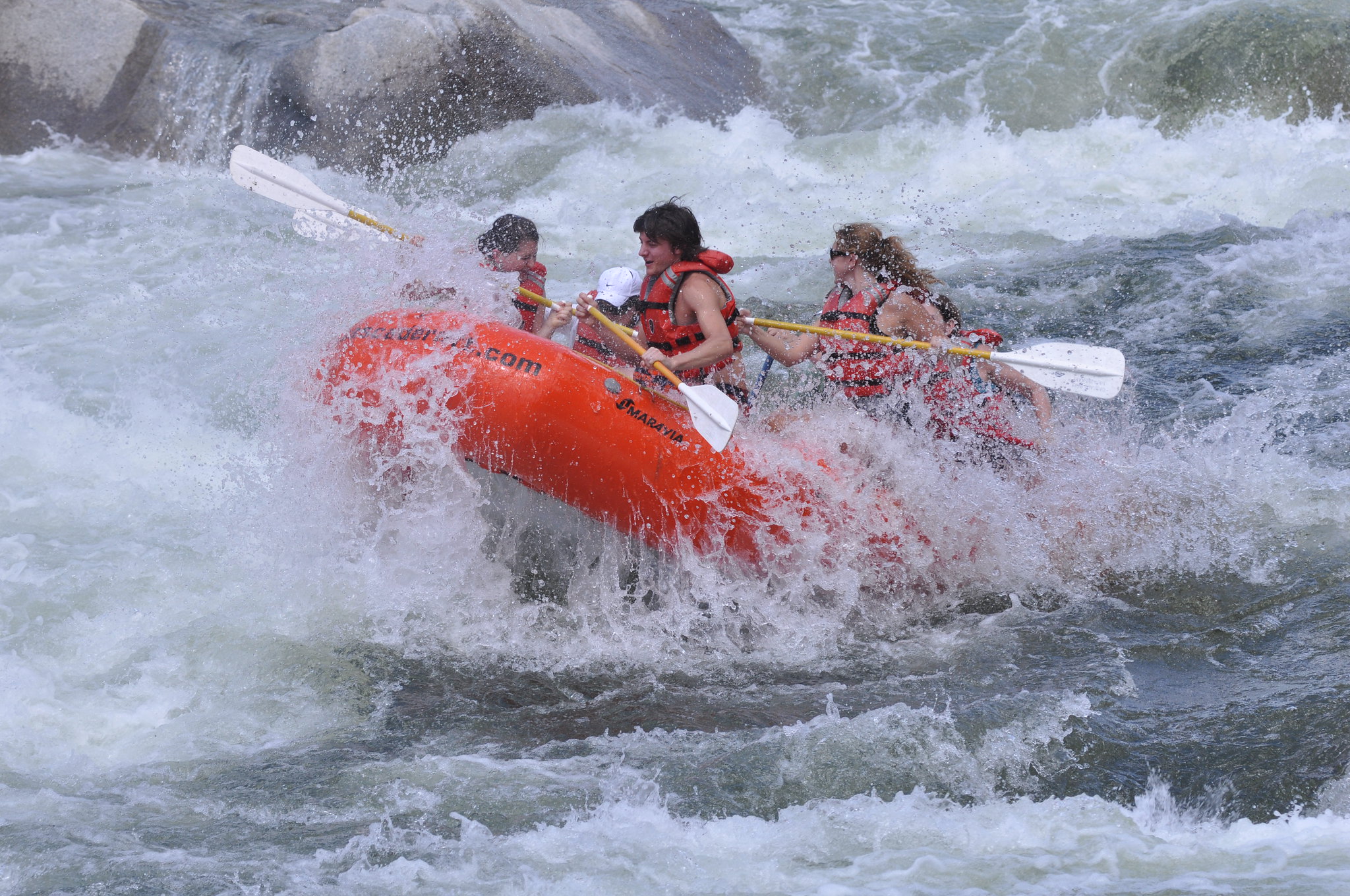
About This Trail
Imported descriptionTrail Conditions
Trail Conditions
We have no current condition data for this trail. Check with the operator before you go, and submit a report below if you've been recently.
No recent condition reports. Be the first to share what you see on the trail.
Elevation Profile
Trail Details
- Route Type
- Point to Point
- Surface
- Dirt
Official sources & verification
We don't have curated agency sources for this trail in our cache yet. Outdoors is not the permitting authority — confirm conditions, permits, and access with the managing agency before you go. If you know who manages this trail, please tell us.
Reviews
No reviews yet
Be the first to share your experience and help others plan their visit.
Legacy import — verify before navigating
Path geometry came from our pre-launch legacy database. Routes have not yet been re-verified against the operator and may differ from the actual trail.
Hunt context
This trail crosses hunting units
During hunting seasons, wear blaze orange and check regulations — see the Idaho hunting page
Nearby Trails
More trails near Banks to Beehive Bend
Station Creek
One Spoon Trail
Rocky Canyon Hot Springs
Cascade to Silver Creek OHV Route via National Forest Road 671
Mores Mountain Extension Winter Trail
Shafer Butte Extension Winter Trail
Stay nearby
Campgrounds near this trail
Similar length
Similar trails in Idaho
Table Rock Trail
Idaho
Stack Rock Trail
Idaho

Sawtooth Lake
Idaho
Scotchman Peak Trail
Idaho
Stevens Lakes Trail
Idaho
Hulls Gulch Nature Trail
Idaho