Difficult
63.8 mi
Distance
16,040 ft
Elev. Gain
25h 32m
Est. Time
0.0
0 Reviews
About This Trail
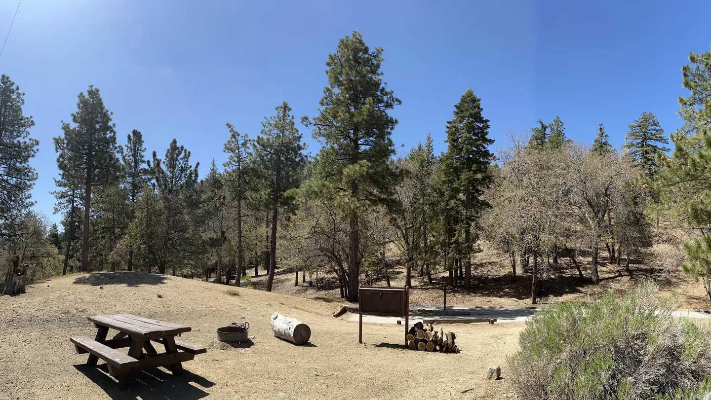
This is not the route that you wanted to hike.
Trail Details
Point to Point
Route Type
Dirt
Surface
Dogs Allowed (Leash Required)
Dog Policy
Yes
Kid Friendly
No
Permit Required
Elevation Profile
Min:411 ft
Max:2,426 ft
4,889 ft
5,934 ft
Reviews
No reviews yet
Be the first to share your experience and help others plan their visit.
Trail Conditions
Trail Conditions
Unknown
Updated Unknown
No recent condition reports. Be the first to share what you see on the trail.
Nearby Trails
More trails near Angeles Crest Scenic BywayCircle Mountain
4.7 km
Moderate
Wright Mountain via Acorn Trail
13.0 km
Moderate
Pine Mountain via Acorn Trail and North Backbone Trail
15.1 km
Difficult

Pine Mountain via Acorn Trail and North Backbone Trail
15.1 km5.0
Difficult
Dawson Peak via Acorn Trail and North Backbone Trail
17.9 km
Difficult
Wrightwood to Mount San Antonio via the North Backbone
19.5 km
Difficult
Similar length
Similar trails in California
Rae Lakes Trail
California
66.6 km2,949 mgain
Difficult
Trans-Catalina Trail
California
60.2 km3,306 mgain
Difficult
San Gabriel River Bike Path- San Gabriel Canyon to Seal Beach
California
60.0 km538 mgain
Easy
California Riding and Hiking Trail
California
60.5 km1,250 mgain
Difficult
Rancheria OHV Road
California
54.1 km2,910 mgain
Easy
Bowman Road and Meadow Lake Road to Henness Pass
California
57.8 km2,502 mgain
Moderate