Status unknown — verify before visiting
We don't have current condition data for this trail. Check with the land manager before you go.
19.0 mi
Distance
1,978 ft
Elev. Gain
6h 51m
Est. Time
Point to Point
Route Type
Easy
Difficulty
About This Trail
Imported descriptionTrail Conditions
Trail Conditions
We have no current condition data for this trail. Check with the operator before you go, and submit a report below if you've been recently.
No recent condition reports. Be the first to share what you see on the trail.
Elevation Profile
Trail Details
- Route Type
- Point to Point
- Surface
- Dirt
Official sources & verification
We don't have curated agency sources for this trail in our cache yet. Outdoors is not the permitting authority — confirm conditions, permits, and access with the managing agency before you go. If you know who manages this trail, please tell us.
Reviews
No reviews yet
Be the first to share your experience and help others plan their visit.
Legacy import — verify before navigating
Path geometry came from our pre-launch legacy database. Routes have not yet been re-verified against the operator and may differ from the actual trail.

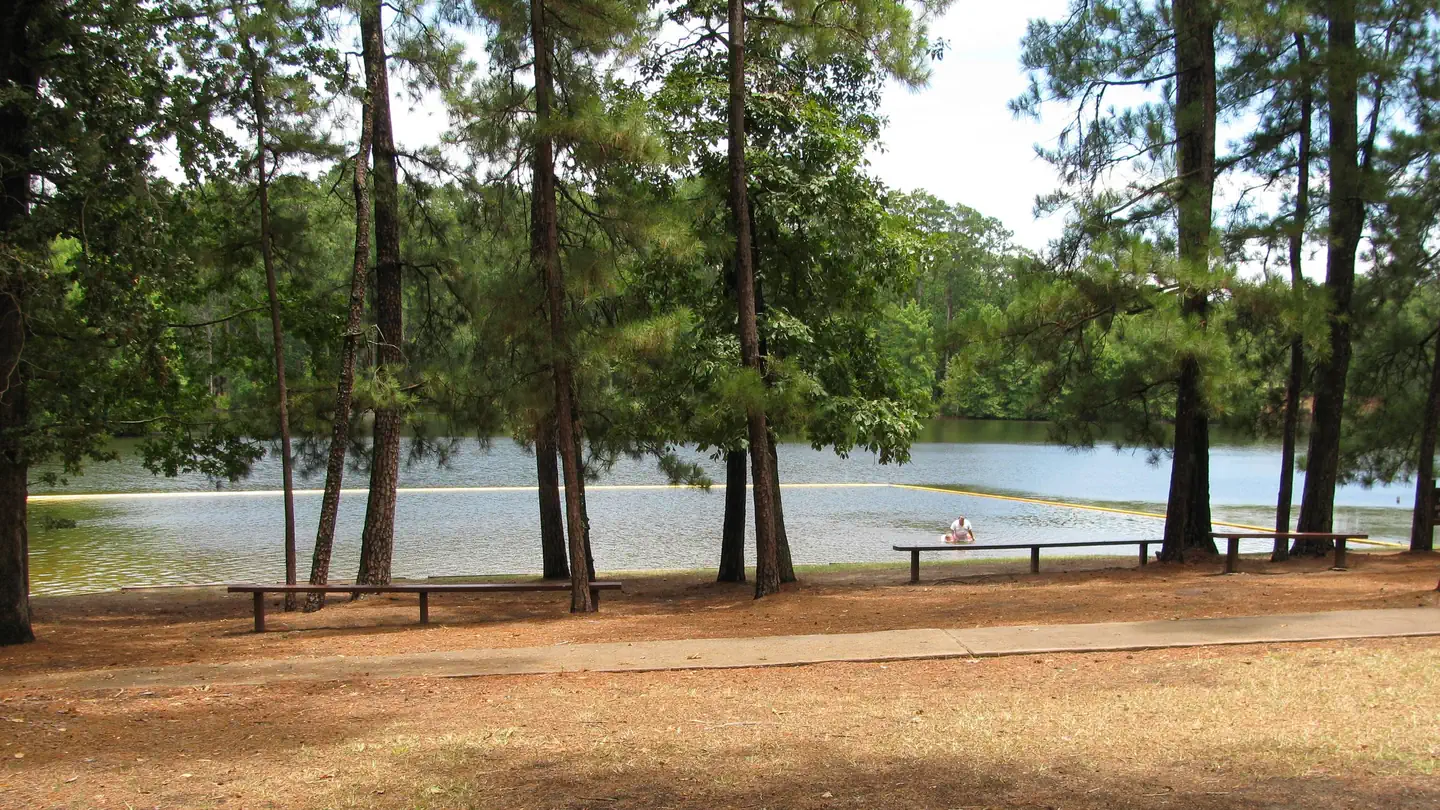
Mission Tejas State Park Trail
Ratcliff Lake Trail
Jim Hogg State Historical Park Trail
I.D. Fairchild State Park- South Half Loop Trail
I.D. Fairchild State Park- North Side Extended Loop
North Side Trail
Stay nearby
Campgrounds near this trail
Neches Bluff Overlook Campground
0.1 mi away · TX
Reservable
Mission Tejas State Park
4.6 mi away · TX
Reservable
Davy Crockett National Forest Ratcliff Lake Recreation Area
11.6 mi away · TX
 Reservable
Ratcliff Lake Recreation Area
12.3 mi away · TX
Reservable
Rusk Depot Campground
16.4 mi away · TX
Reservable
Rusk - Palestine Park
16.6 mi away · TX
Similar length
Similar trails in Texas
Barton Creek Greenbelt Trail
Texas
Lady Bird Lake Trail
Texas
Knob Hill Trail
Texas
Emory Peak via South Rim Trail and Boot Springs Trail
Texas
Emory Peak Trail
Texas
Good Water Loop
Texas