No photos yet
Official sources & verification
Managed by National Recreation Area
Source of truth
- Agency source page
The page our published rules and notes are derived from.
Managing agency
- National Recreation Area
Find offices, alerts, and current orders for this agency.
Verify by phone or mail
- Operator:406-538-1900
- Email:MT_Lewistown_FO@blm.gov
- Address:MT
About
Imported descriptionRemember your OUTDOOR ETHICS when enjoying your public lands. Please RECREATE RESPONSIBLY.
Overview
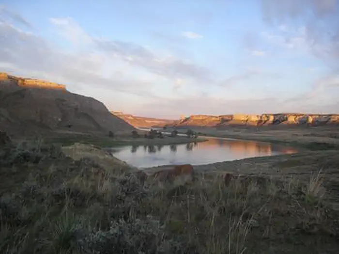
This national monument covers about 377,000 acres of BLM-administered public land in central Montana. These lands hold a spectacular array of plant life, wildlife, unique geological features, endless recreational opportunities, and significant historical and cultural values. The rugged landscape has retained much of its unspoiled character over the centuries and, as a result, offers outstanding opportunities for solitude and dispersed recreation. In some areas, the BLM lands are intermingled with State of Montana lands and private property. The monument designation applies only to the BLM-managed lands.
The land and the rugged, surrounding uplands (commonly call the Missouri Breaks) are defined in part by their history. The entire region was the homeland and lifeblood of American Indians. The river served as the pathway for Lewis and Clark, then the waterway for steamboats and an attraction for fur trappers and traders. Later, the river and the Missouri Breaks were sanctuaries for desperados trying to stay a step ahead of the law. The land was also a source of hope and inspiration for several generations of homesteaders.
Planning Your Visit
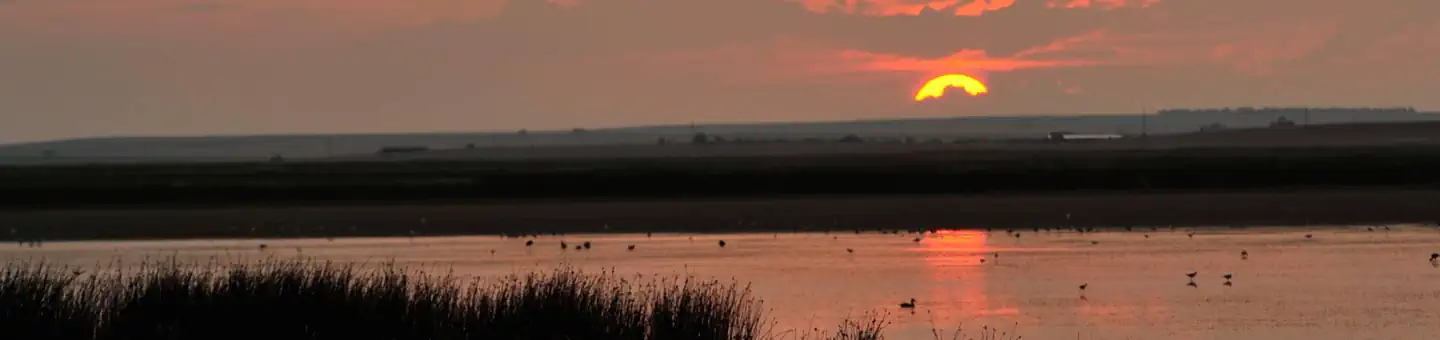
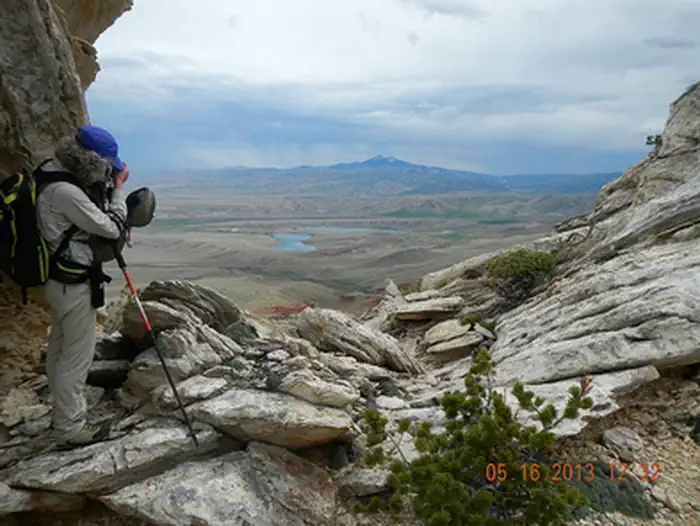
Today, the public lands in the monument make a significant contribution to the local lifestyle and the regional economy. Within the monument, you can float the river, fish, hike, hunt, drive for pleasure, find a little solitude, enjoy a sense of exploration, or simply marvel at the variety of resources around you. If you cannot float the Upper Missouri or visit the backcountry, you'll still be able to experience the cultural and natural history.
Vast portions of the monument are serviced only by graveled and unimproved roads. Much of the monument is not accessible by any road, inviting visitors to explore on foot. Some of the roads are not suitable for low-clearance vehicles, and many roads cross soils that become absolutely impassable when wet. Off-road driving (cross-country travel) is not allowed in the monument.
Need a Map?
Upper Missouri River Breaks National Monument (blm.gov)
Helpful Links:
More Information: Programs: National Conservation Lands: Upper Missouri River Breaks National Monument
Visit: Missouri Breaks Interpretive Center
Source: recreation.gov
From Wikipedia
The Upper Missouri River Breaks National Monument is a national monument in the western United States, protecting the Missouri Breaks of north central Montana. Managed by the Bureau of Land Management (BLM), it is a series of badland areas characterized by rock outcroppings, steep bluffs, and grassy plains; a topography referred to as "The Breaks".
Source: Wikipedia — text licensed CC BY-SA 4.0. Verify alerts and operational details with the managing agency below.
Reviews
No reviews yet
Be the first to share your experience and help others plan their visit.
Hunting in this park
Hunting is generally prohibited in this National Park Service unit
Verify current park-specific rules with the National Park Service before planning any hunt. See NPS regulations
Within ~100 miles
Parks near Upper Missouri River Breaks National Monument
Nat'l Recreation Area
Park
Upper Missouri National Wild and Scenic River
Montana
Nat'l Recreation Area
Park
Benton Lake Wetland Management District
Montana
Nat'l Recreation Area
Park
Benton Lake National Wildlife Refuge
Montana
Nat'l Recreation Area
Park
Lake Elwell
Montana
Nat'l Recreation Area
Park
Freezeout Lake
Montana
Nat'l Recreation Area
Park
Limekiln Trail
Montana
Same state
More parks in Montana
Featured
National Forest
Park
Flathead National Forest
Montana
3,758 sq mi

Featured
National Park
Park
Glacier National Park
Montana
1,583 sq mi
Nat'l Recreation Area
Park
Anita Reservoir
Montana

recreation area
Park
Axolotl Lakes
Montana
Nat'l Recreation Area
Park
Bald Ridge Trail
Montana
National Forest
Park
Beaverhead-Deerlodge National Forest
Montana
5,250 sq mi
National Battlefield
Park
Big Hole National Battlefield
Montana
National Forest
Park
Bitterroot National Forest
Montana
2,480 sq mi
Spot an error in our data on Upper Missouri River Breaks National Monument?