Nat'l Recreation Area
Official sources & verification
Managed by National Recreation Area
Source of truth
- Agency source page
The page our published rules and notes are derived from.
Managing agency
- National Recreation Area
Find offices, alerts, and current orders for this agency.
Verify by phone or mail
- Operator:760-833-7100
- Email:BLM_CA_Web_PS@blm.gov
- Address:NV
About
Imported description
Overview
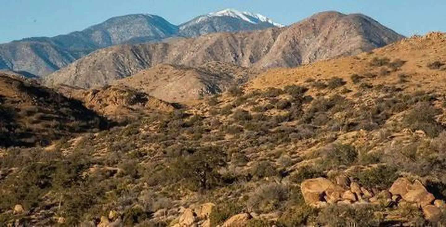
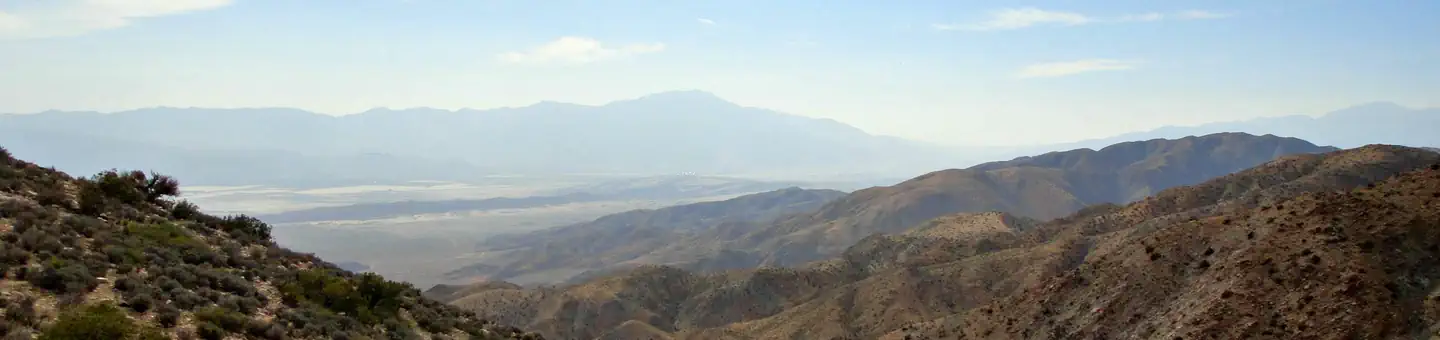
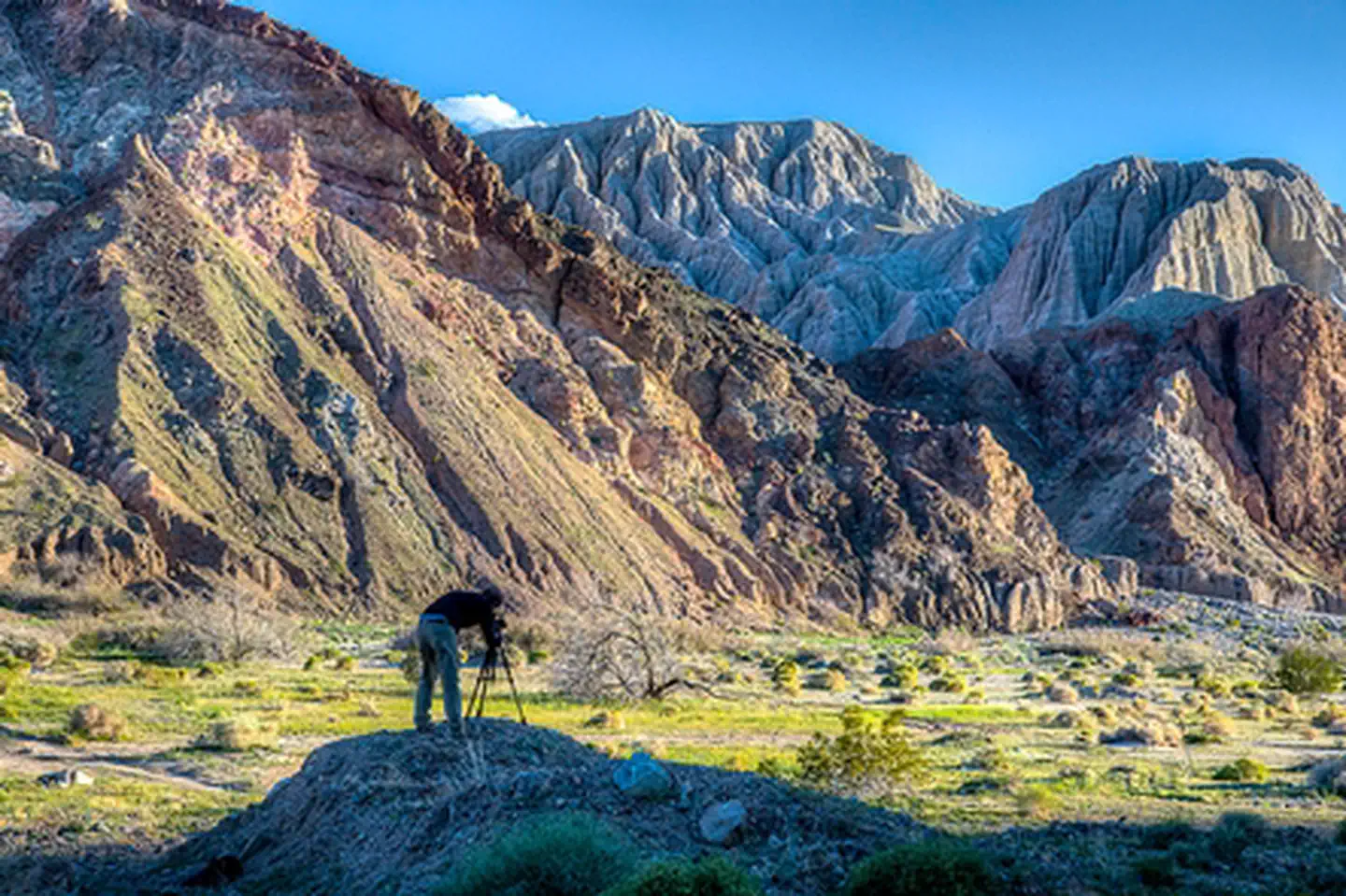
This wilderness is part of the eastern slope of the San Bernardino Mountains with topography rapidly changing from low, rolling foothills and canyons to steep, rugged mountains. Elevations range from 2,300 to 5,500 feet. Because of this elevation gradient, the wilderness reflects a unique transition between desert, coastal and mountain environments, including the different types of vegetation representative of each elevation.
History
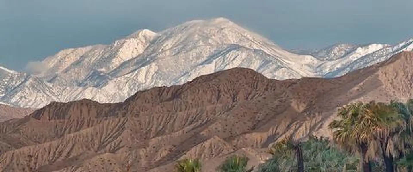
San Gorgonio Mountain was originally known as "Old Grayback" by locals until officially designated by the US Geological Survey (from the Spanish heritage) on the original topographical map of the area produced in 1899. At 11,502 feet, it is the highest peak in California south of the Sierras. The San Gorgonio Wilderness derived its name from this peak within its boundaries. The Wilderness is located in the southeast portion of the San Bernardino Mountains on lands administered by the San Bernardino National Forest and the Bureau of Land Management.
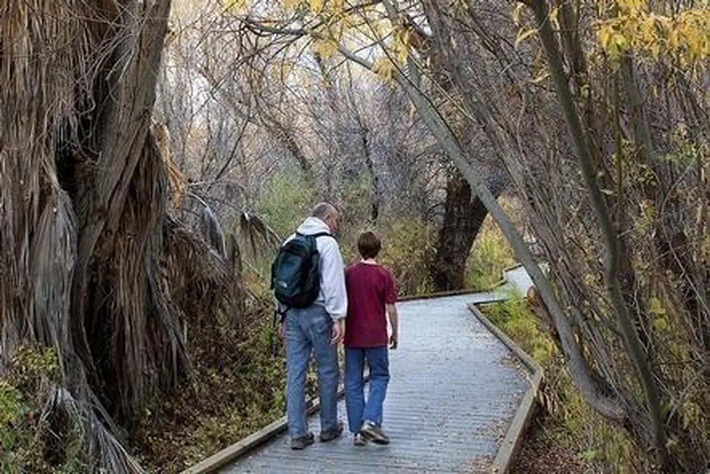
Most of the Wilderness is above the 7,000 foot level. Two rivers (which would be called creeks anywhere but in Southern California), the Santa Ana and the White, flow out of the Wilderness. The numerous streams in the Wilderness Area do not always flow in late summer, and locating water can be difficult. Two small lakes, several meadows, and large, heavily forested areas provide a beautiful sub-alpine oasis in the dry lands that surround the mountain range.
The isolated environment contains many threatened and endangered plant and animal species, as well as bear, deer, mountain lions and bighorn sheep. The summit of the 10,624-foot San Bernardino Peak provided the initial point in 1852 from which all of Southern California was surveyed. There are over 20 miles of the Pacific Crest National Scenic Trail in the BLM portion and 81 miles of trails in the National Forest portion of the Wilderness.
Source: recreation.gov
From Wikipedia
The San Gorgonio Wilderness is located in the eastern San Bernardino Mountains, in San Bernardino County and into northern Riverside County, Southern California.
Source: Wikipedia — text licensed CC BY-SA 4.0. Verify alerts and operational details with the managing agency below.
Reviews
No reviews yet
Be the first to share your experience and help others plan their visit.
Hunting in this park
Hunting is generally prohibited in this National Park Service unit
Verify current park-specific rules with the National Park Service before planning any hunt. See NPS regulations
Within ~100 miles
Parks near San Gorgonio Wilderness
Nat'l Recreation Area
Park
Sand to Snow National Monument
Nevada
preserve
Park
Big Morongo Canyon Preserve
Nevada
Wilderness Area
Park
Bighorn Mountain Wilderness
Nevada
National Forest
Park
San Bernardino National Forest
California
1,287 sq mi
wildlife refuge
Park
Coachella Valley National Wildlife Refuge
Nevada
Nat'l Recreation Area
Park
Palms to Pines Scenic Byway
Nevada
Same state
More parks in Nevada
Featured
National Forest
Park
Humboldt-Toiyabe National Forest
Nevada
9,828 sq mi
recreation area
Park
Afton Canyon
Nevada
Nat'l Recreation Area
Park
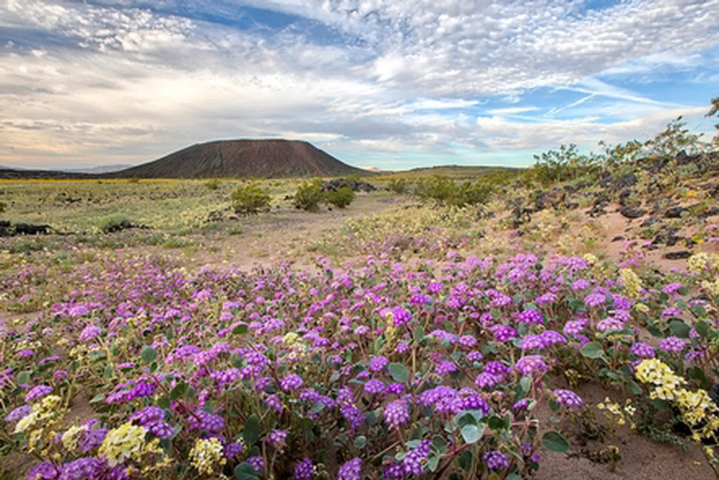
Amboy Crater National Natural Landmark
Nevada
Wilderness Area
Park
Arrow Canyon Wilderness
Nevada
Nat'l Recreation Area
Park
Arrowhead (Trails) Highway
Nevada
Nat'l Recreation Area
Park
Ash Meadows National Wildlife Refuge
Nevada
recreation area
Park
Barstow
Nevada
Wilderness Area
Park
Beauty Mountain Wilderness
Nevada
Spot an error in our data on San Gorgonio Wilderness?