824K
Acres
54
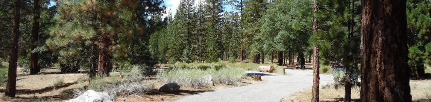
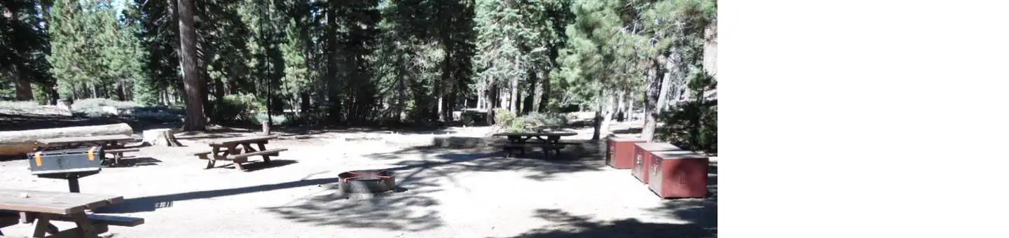
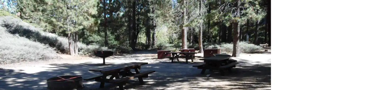
Campgrounds
Official sources & verification
Managed by United States Forest Service
Source of truth
- San Bernardino National Forest — official page
Operator-published page with current visitor information.
Verify by phone or mail
- Operator:909-382-2600
- Address:CA
About
Imported descriptionSource: fs.usda.gov
From Wikipedia
Source: Wikipedia — text licensed CC BY-SA 4.0. Verify alerts and operational details with the managing agency below.
Applewhite Campground
Barton Flats Campground
Barton Flats Family Campground
Big Bear Recreation
Big Pine Equestrian Group Campground
Big Pine Flat Campground
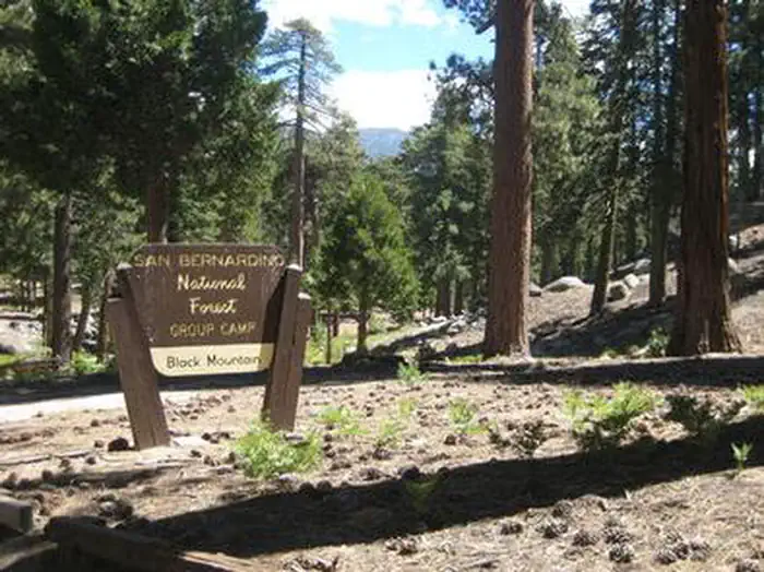
Black Mountain Group Campground (san Bernardino)
Bluff Mesa Group Campground
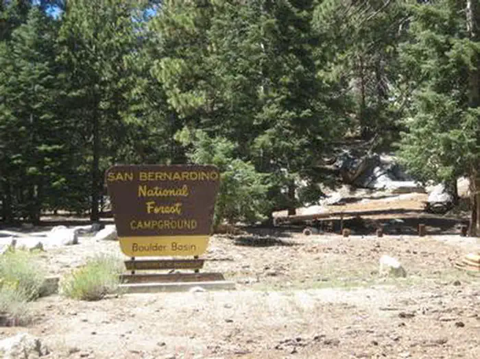
Boulder Basin
Boulder Group Campground
Buttercup Group Campground
Coon Creek Cabin Group Campground
Reviews
No reviews yet
Be the first to share your experience and help others plan their visit.
Hunting in this park
This park overlaps hunting units
During hunting seasons, wear blaze orange and check regulations — see the California hunting page
Within ~100 miles
Parks near San Bernardino National Forest
Sand to Snow National Monument
Nevada
Bighorn Mountain Wilderness
Nevada
San Gorgonio Wilderness
Nevada
Mojave River Dam
California
Big Morongo Canyon Preserve
Nevada
Johnson Valley OHV Area
Nevada
Same state
More parks in California

Death Valley National Park
California
Inyo National Forest
California

Joshua Tree National Park
California

Redwood National and State Parks
California

Sequoia National Park
California
Shasta-Trinity National Forest
California

Yosemite National Park
California
California