1 / 2
Nat'l Recreation Area
Official sources & verification
Managed by U.S. Forest Service
Source of truth
- Agency source page
The page our published rules and notes are derived from.
Managing agency
- U.S. Forest Service
Find offices, alerts, and current orders for this agency.
Verify by phone or mail
- Operator:1111111111
- Email:mailroom_r2_rio_grande@fs.fed.us
- Address:CO
About
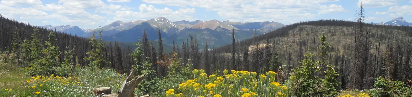
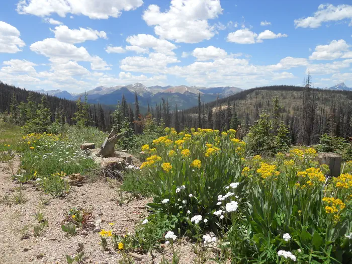
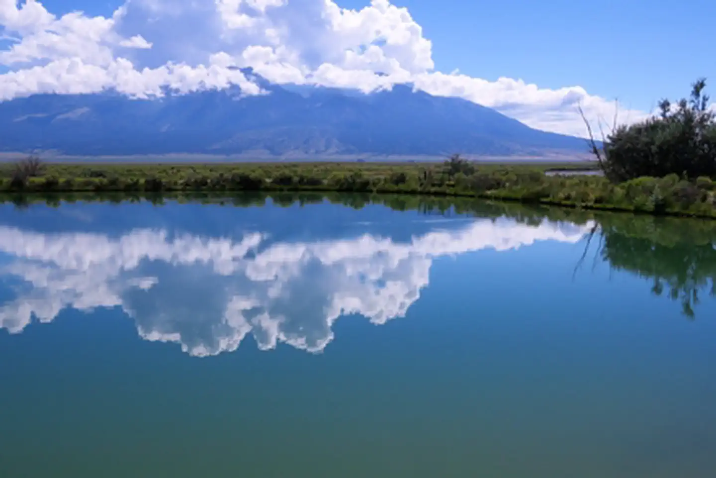
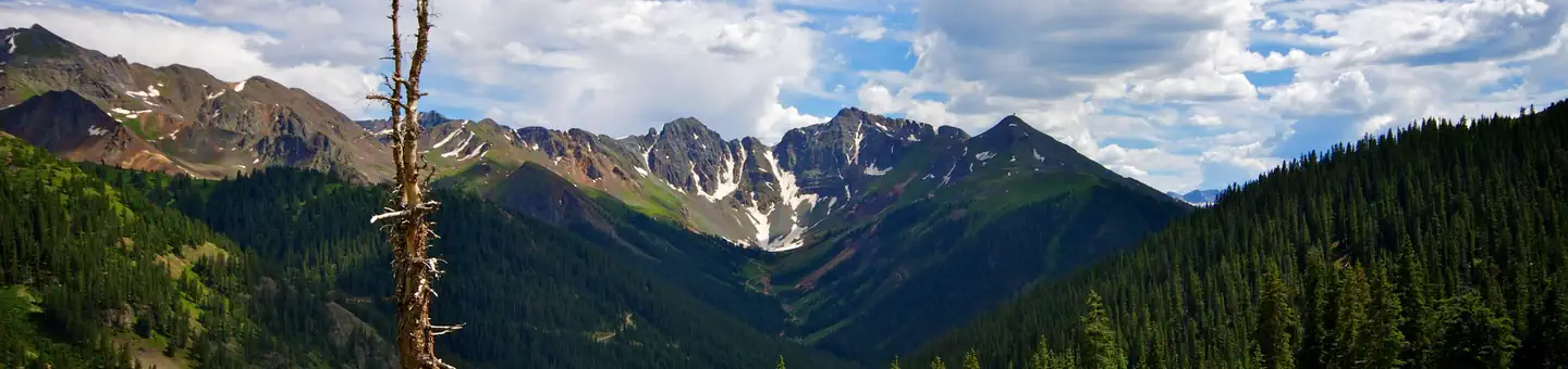
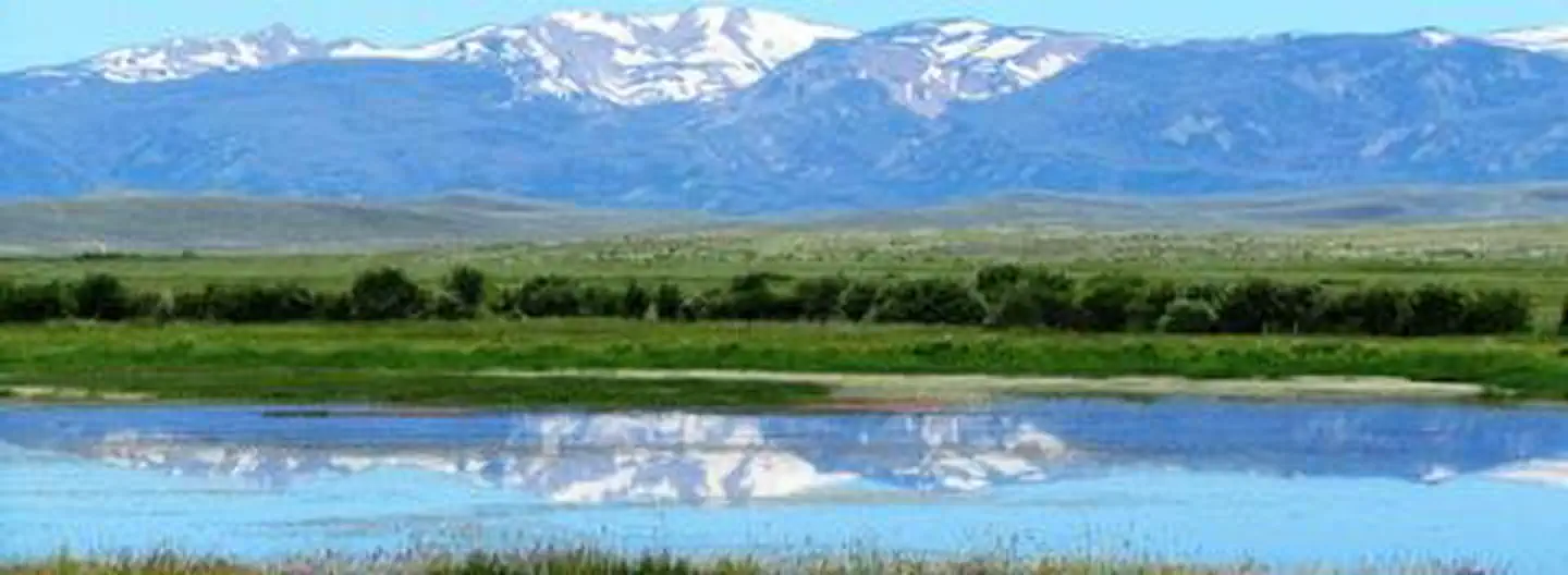
Rio Grande National Forest is a 1.86 million-acre (7,530 km2) U.S. national forest located in southwestern Colorado. The forest encompasses the San Luis Valley, which is the world's largest agricultural alpine valley, as well as one of the world's largest high deserts located around mountains. The Rio Grande rises in the forest, and the Continental Divide runs along most of its western border. The forest lies in parts of nine counties. In descending order of land area within the forest they are Saguache, Mineral, Conejos, Rio Grande, Hinsdale, San Juan, Alamosa, Archuleta, and Custer counties. Forest headquarters are currently located in Del Norte, Colorado. There are local ranger district offices in Del Norte, La Jara, and Saguache.
Source: Wikipedia — text licensed CC BY-SA 4.0. Verify alerts and operational details with the managing agency below.
Reviews
No reviews yet
Be the first to share your experience and help others plan their visit.
Hunting in this park
This park overlaps hunting units
During hunting seasons, wear blaze orange and check regulations — see the Colorado hunting page
Within ~100 miles
Parks near Rio Grande National Forest
Nat'l Recreation Area
Park
Monte Vista National Wildlife Refuge
Colorado
Nat'l Recreation Area
Park
Penitente Canyon
Colorado
Nat'l Recreation Area
Park
Alamosa National Wildlife Refuge
Colorado
recreation area
Park
Blanca Wetlands
Colorado
Nat'l Recreation Area
Park
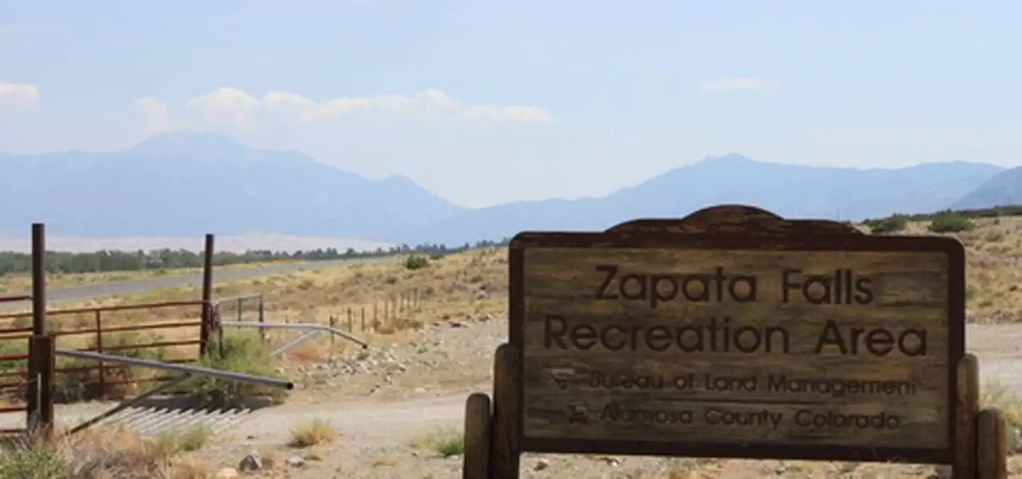
Zapata Falls SRMA
Colorado

National Park
Park
Great Sand Dunes National Park and Preserve
Colorado
233 sq mi
Same state
More parks in Colorado

Featured
National Park
Park
Rocky Mountain National Park
Colorado
415 sq mi
Featured
National Forest
Park
White River National Forest
Colorado
3,572 sq mi
Nat'l Recreation Area
Park
Alpine Loop
Colorado
National Historic Site
Park
Amache National Historic Site
Colorado

Nat'l Recreation Area
Park
Arapaho & Roosevelt National Forests Pawnee NG
Colorado
National Forest
Park
Arapaho and Roosevelt National Forests
Colorado
2,403 sq mi
wildlife refuge
Park
Arapaho National Wildlife Refuge
Colorado
Nat'l Recreation Area
Park
Arkansas Headwaters Recreation Area
Colorado
Spot an error in our data on Rio Grande National Forest?