No alerts in our cache for this unit.
Alerts can change quickly. For real-time conditions, advisories, and closures, check the NPS alerts feed before you go.
74K
Acres
11
Campgrounds
Official sources & verification
Managed by National Park Service
Source of truth
- National Park Service unit page
NPS-published hours, fees, alerts, and current closures for this unit.
- NPS current conditions & alerts
Current alerts, advisories, and temporary closures published by the NPS unit.
- Agency source page
The page our published rules and notes are derived from.
About
Source: Wikipedia — text licensed CC BY-SA 4.0. Verify alerts and operational details with the managing agency below.
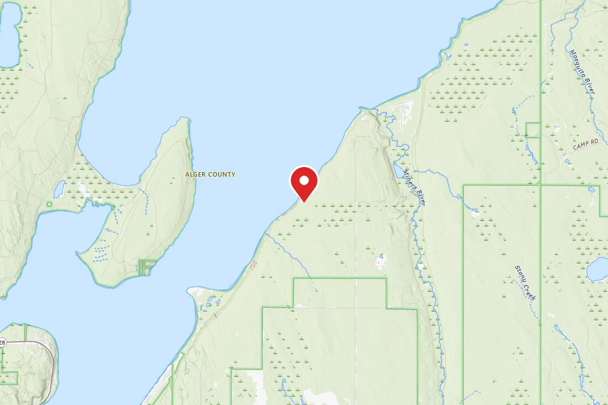
Cliffs Camp
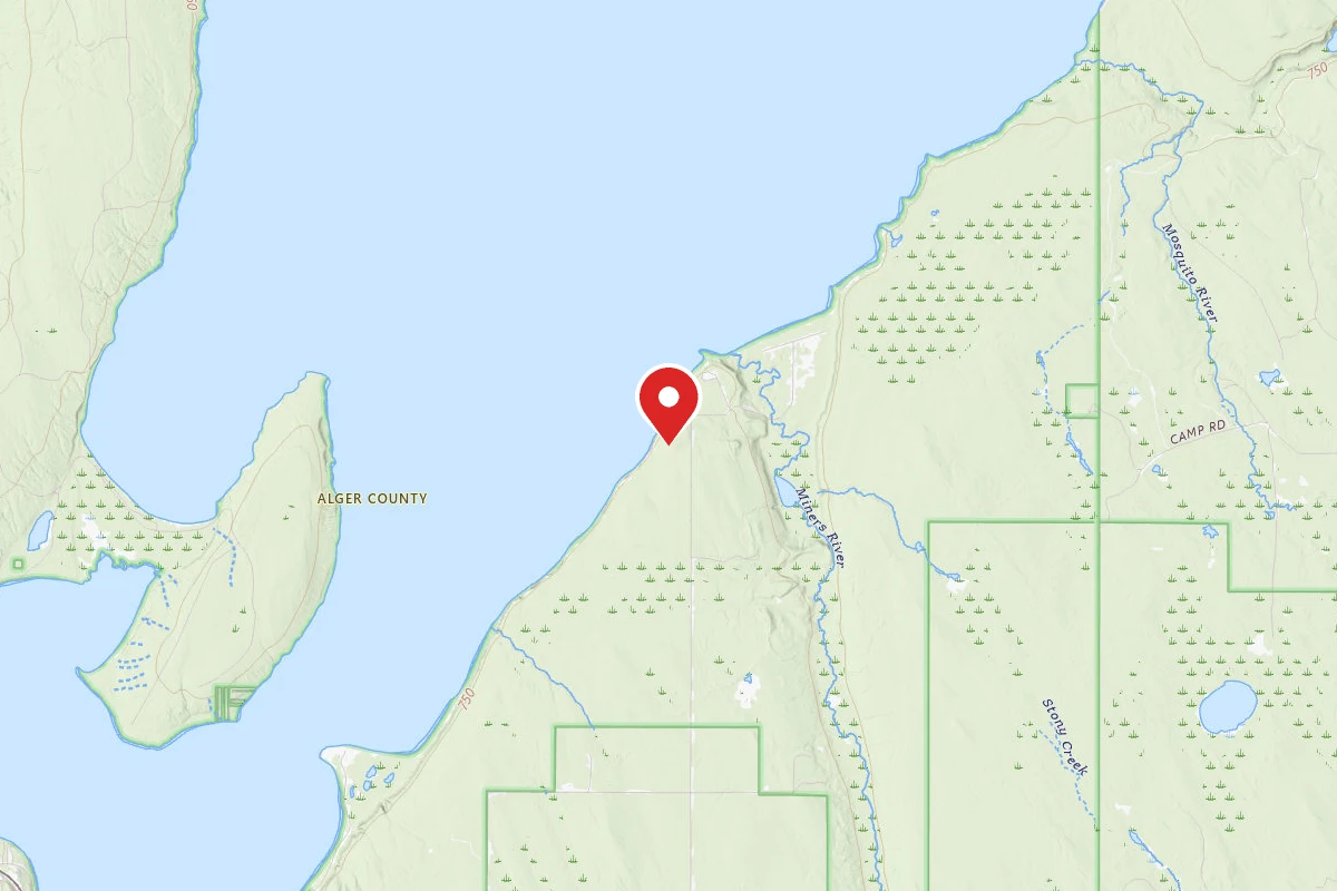
Cliffs Group Campsite
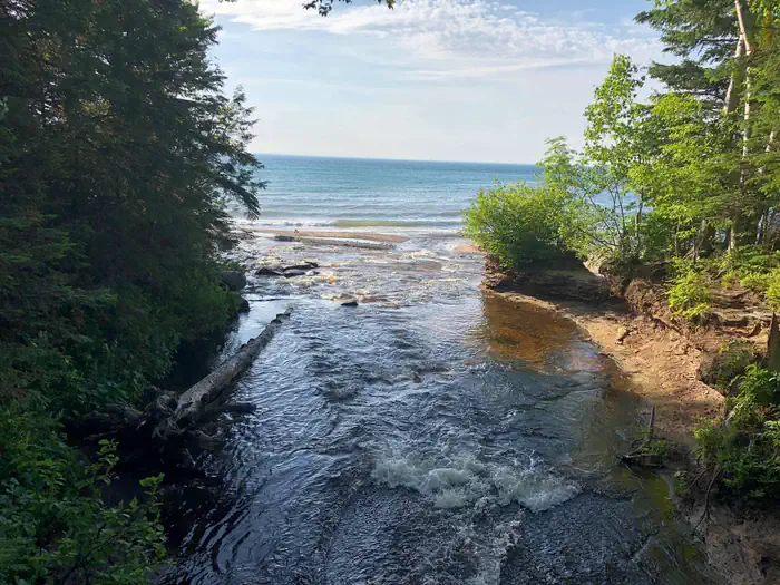
Hurricane River Campground
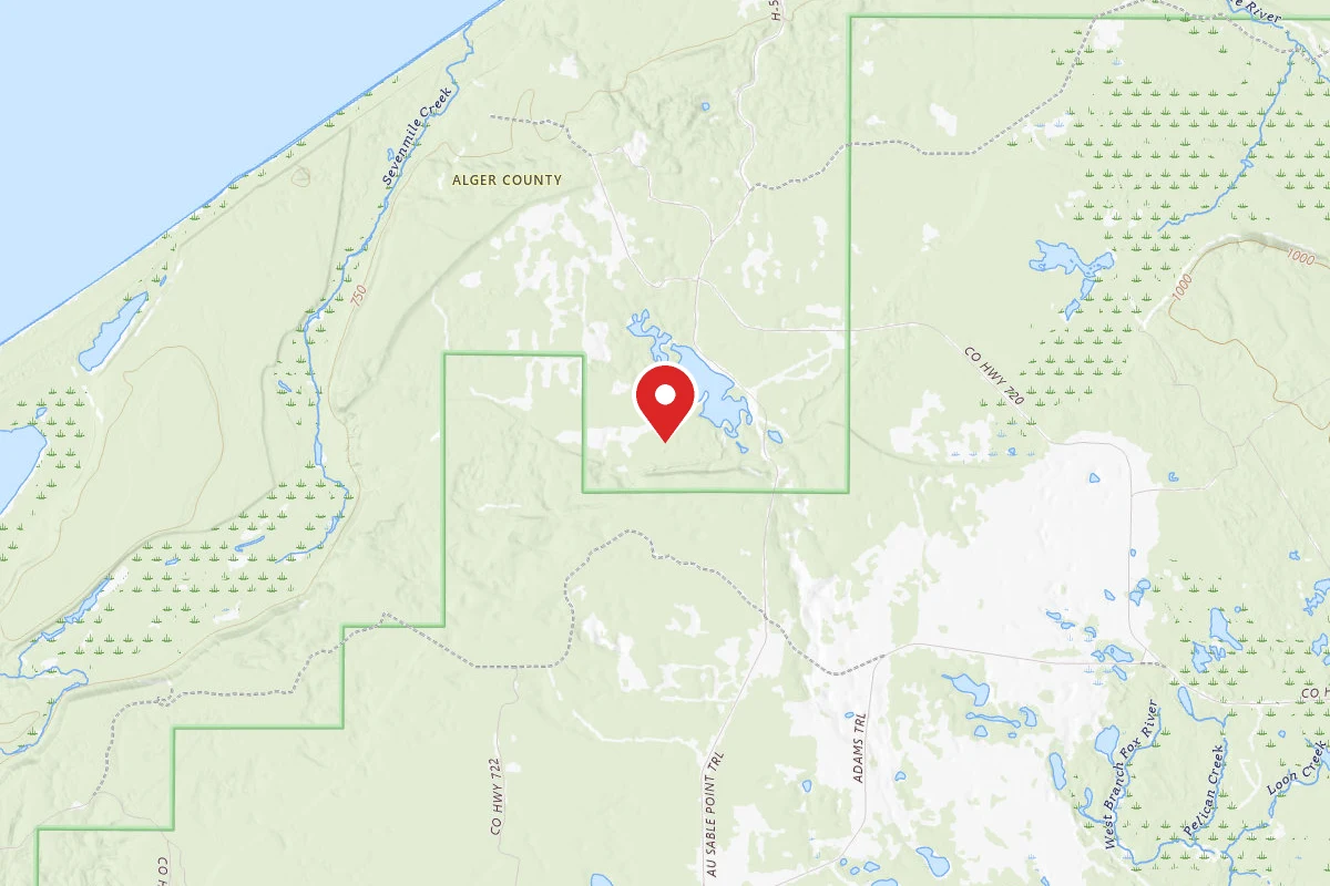
JoeIda Campground
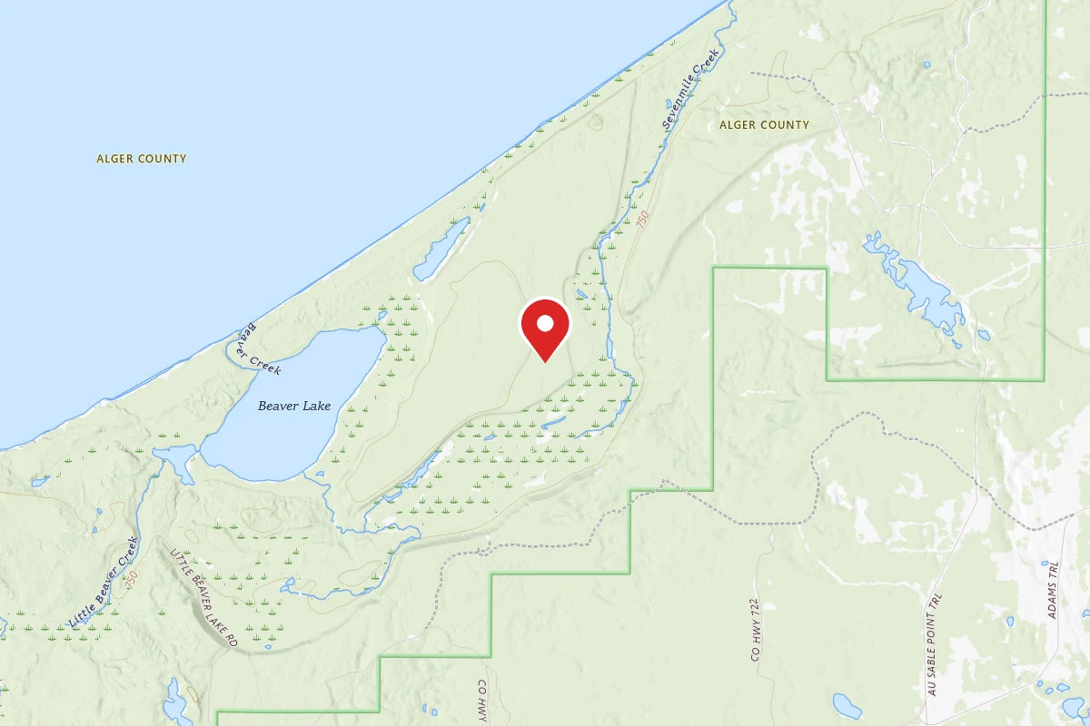
Little Beaver Campground
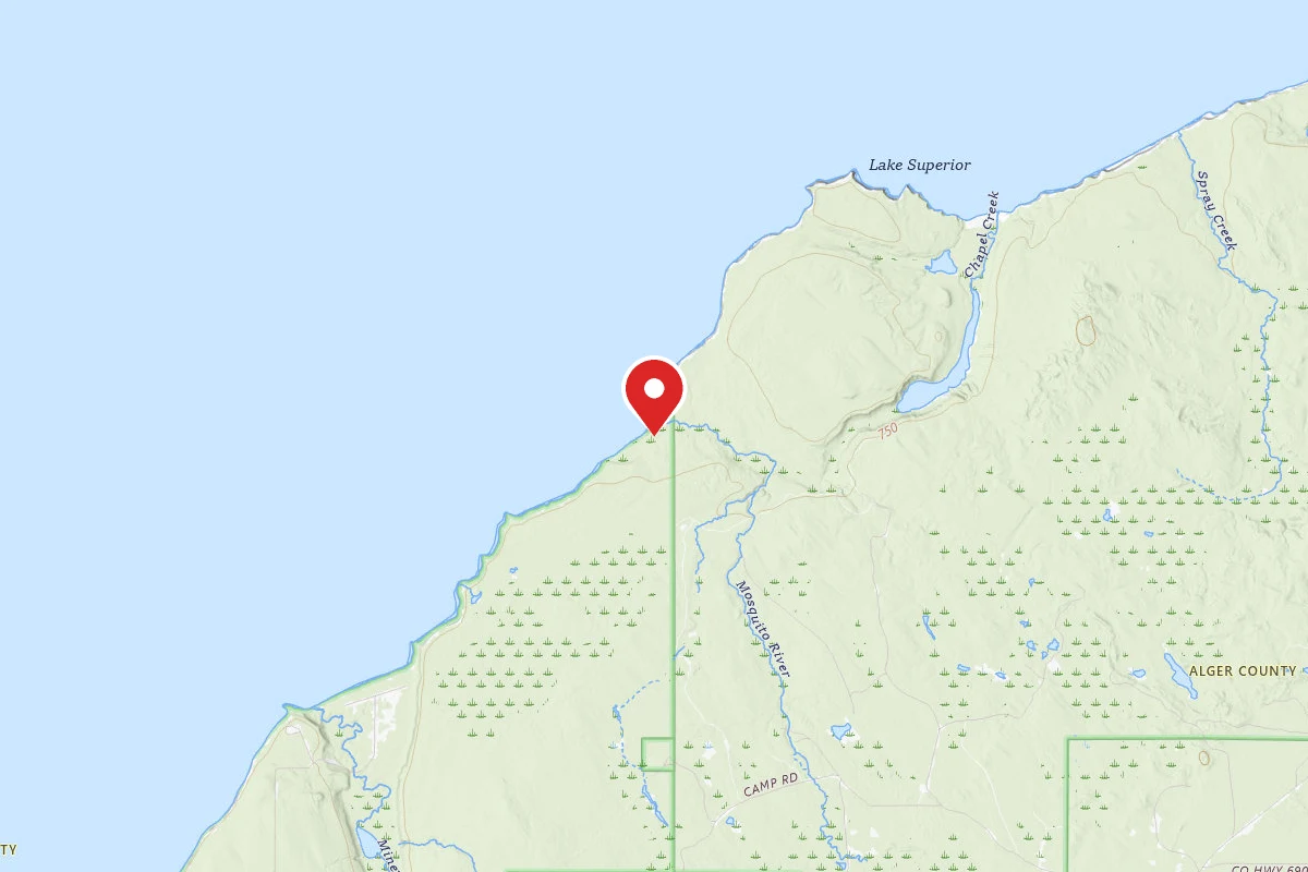
Mosquito Group Campsite
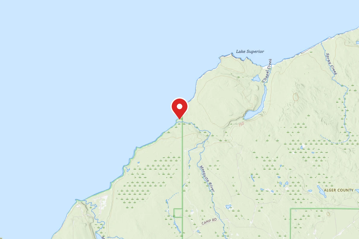
Mosquito River Campground
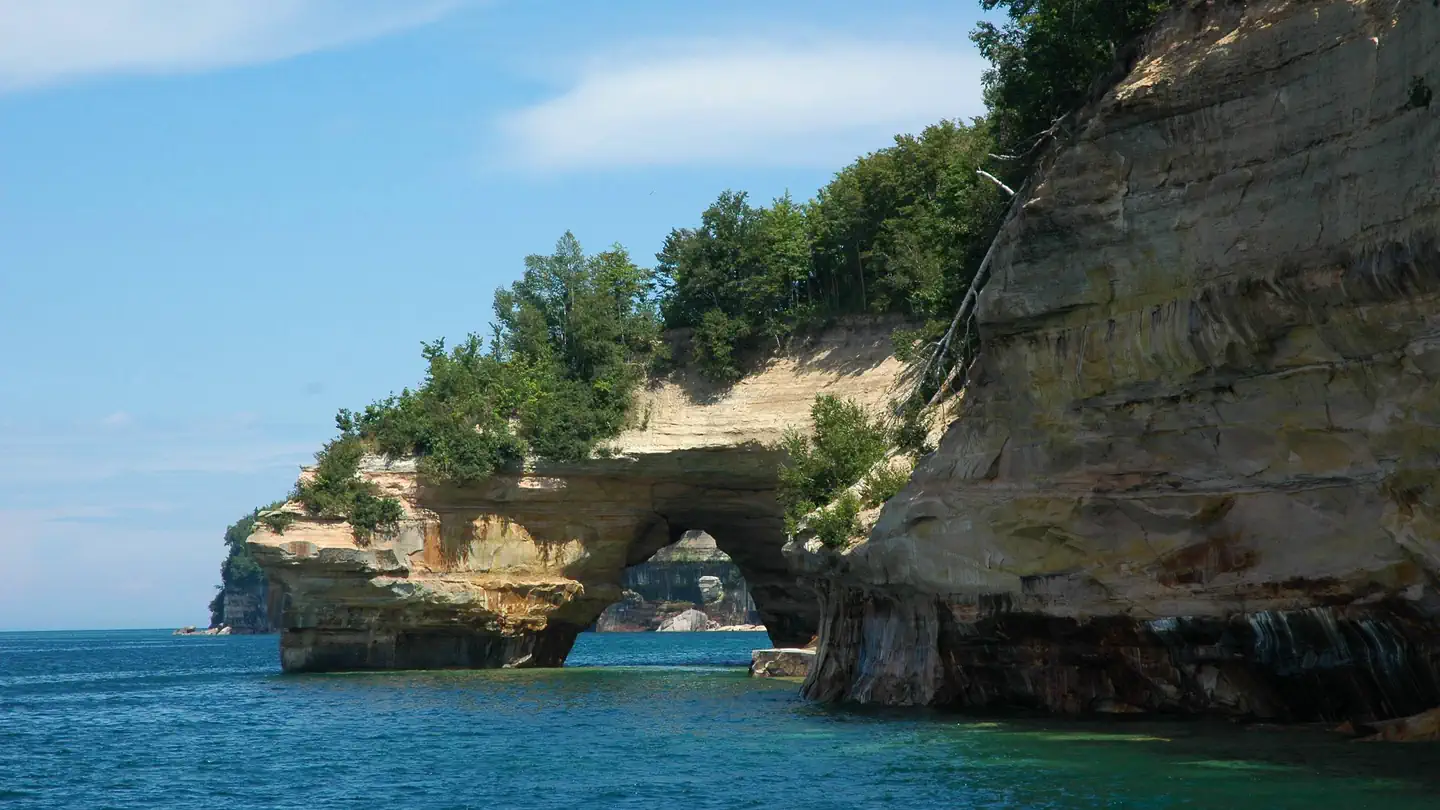
Pictured Rocks National Lakeshore Backcountry Camping Permit
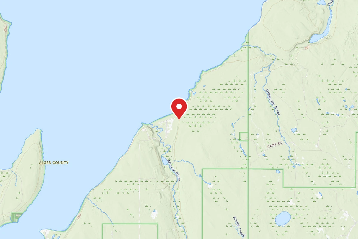
Potato Patch Campsite
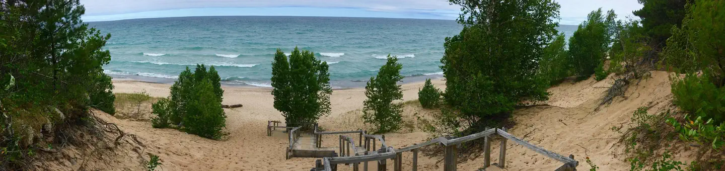
Twelvemile Beach Campground
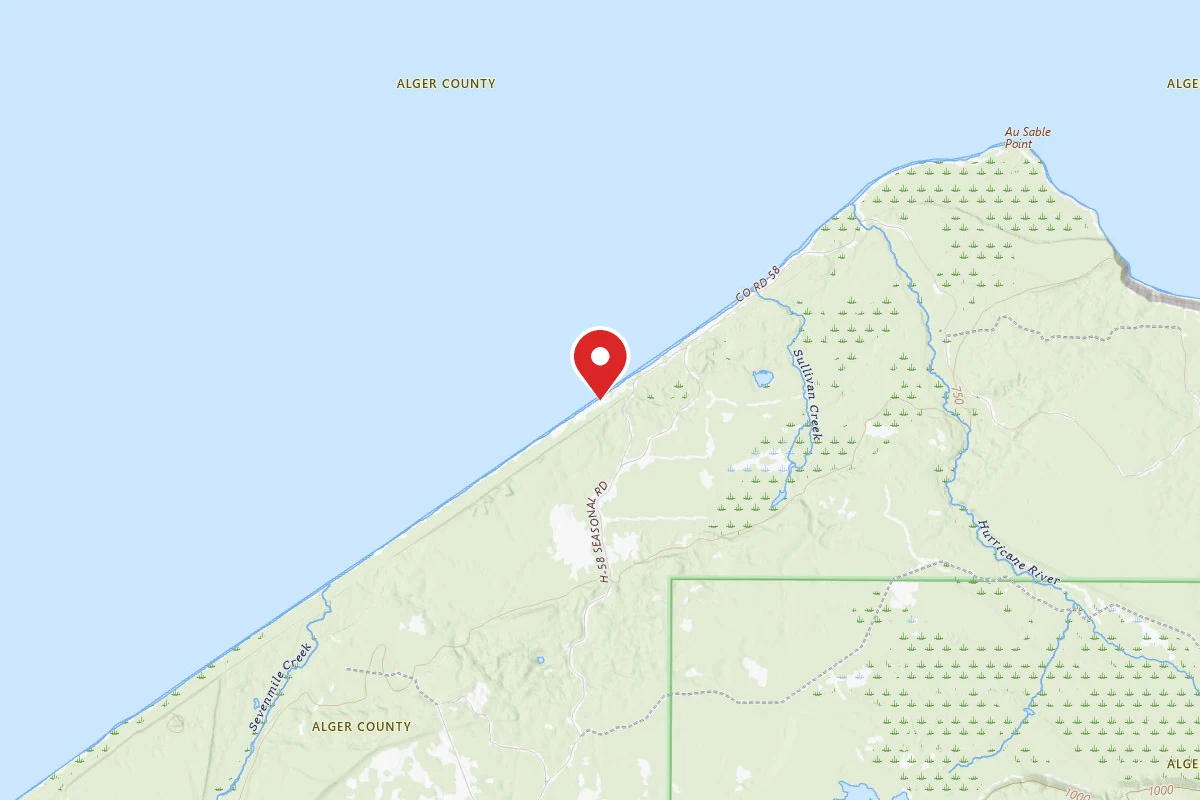
Twelvemile Beach Campground - Pictured Rocks National Lakeshore
Reviews
No reviews yet
Be the first to share your experience and help others plan their visit.
Hunting in this park
Hunting is generally prohibited in this National Park Service unit
Verify current park-specific rules with the National Park Service before planning any hunt. See NPS regulations
Within ~100 miles
Parks near Pictured Rocks National Lakeshore
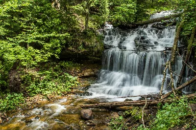
Wagner Falls Scenic Site
Michigan
Kirtland's Warbler Wildlife Management Area
Michigan
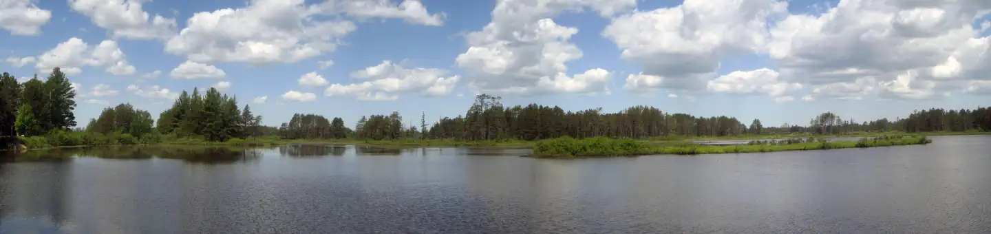
Seney National Wildlife Refuge
Michigan
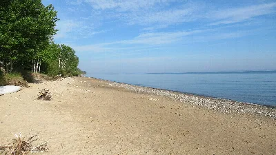
Muskallonge Lake State Park
Michigan
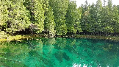
Palms Book State Park
Michigan
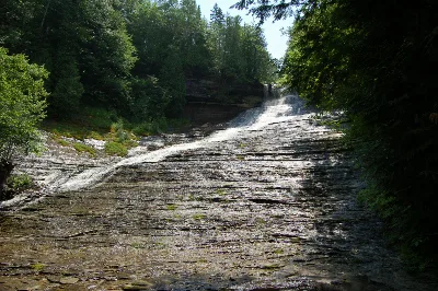
Laughing Whitefish Falls State Park
Michigan
Same state
More parks in Michigan
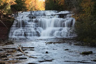
Agate Falls Scenic Site
Michigan
Albert E. Sleeper State Park
Michigan
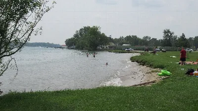
Algonac State Park
Michigan
Aloha State Park
Michigan
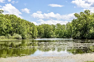
Bald Mountain Recreation Area
Michigan
Baraga State Park
Michigan
Bass River Recreation Area
Michigan
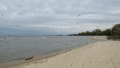
Bay City State Park
Michigan