Photo: Krzysztof Ziarnek, KenraizCC BY-SA 4.0Wikimedia Commons
14
Trails
Official sources & verification
Managed by Arizona State Parks & Trails
Source of truth
- Picacho Peak State Park — official page
Operator-published page with current visitor information.
Verify by phone or mail
- Operator:(520) 466-3183
About
Source: azstateparks.com
From Wikipedia
Source: Wikipedia — text licensed CC BY-SA 4.0. Verify alerts and operational details with the managing agency below.
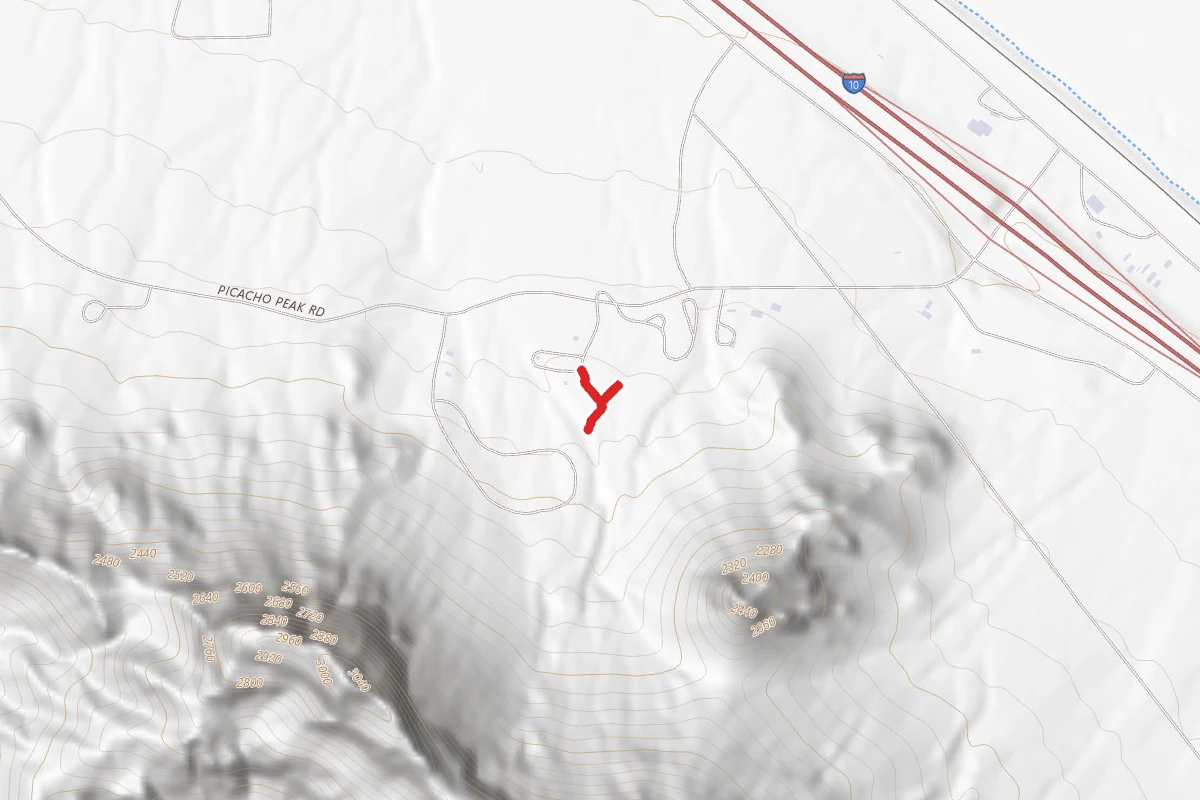
Amphitheater Connector
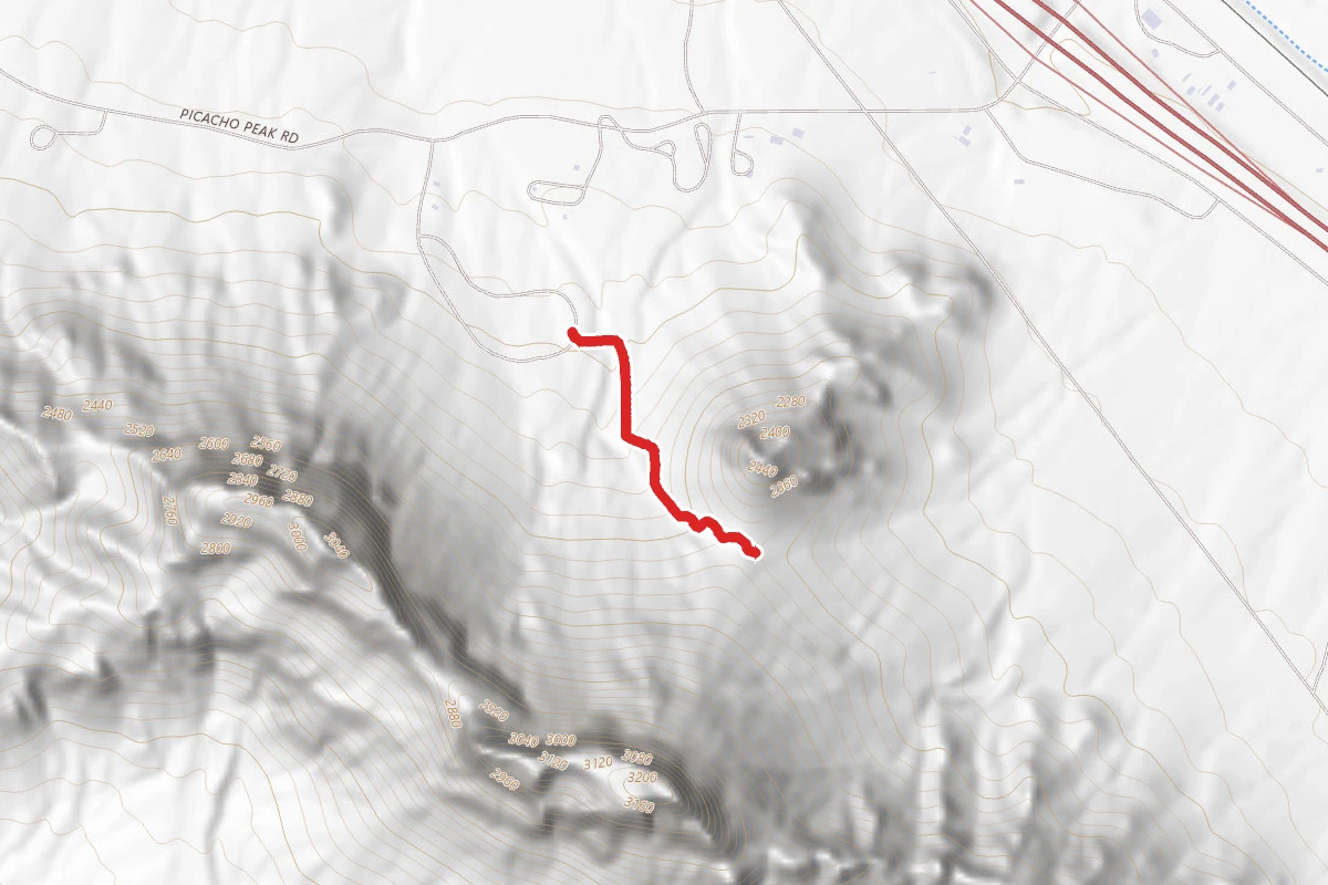
Calloway Trail to Overlook
Campground Connector Trail
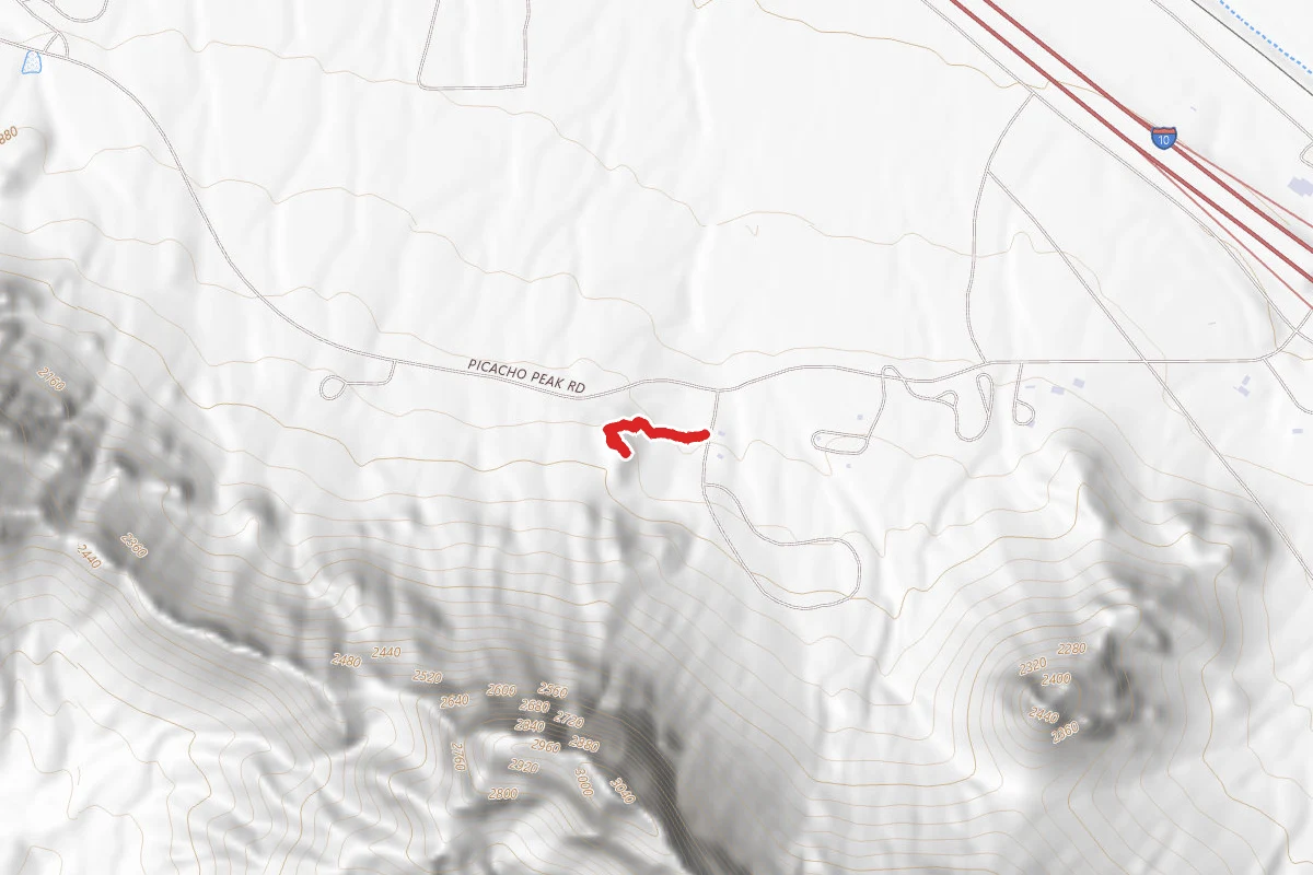
Childrens Cave
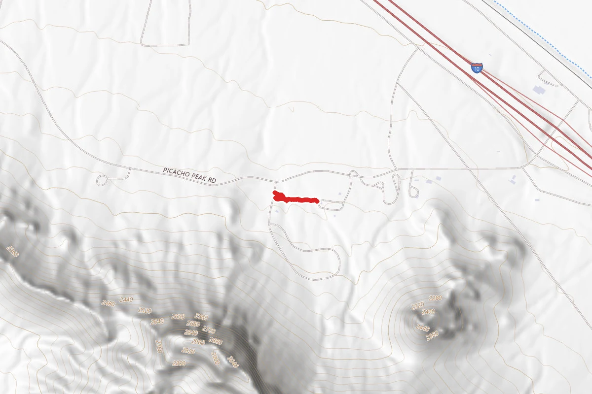
Connector
Connector
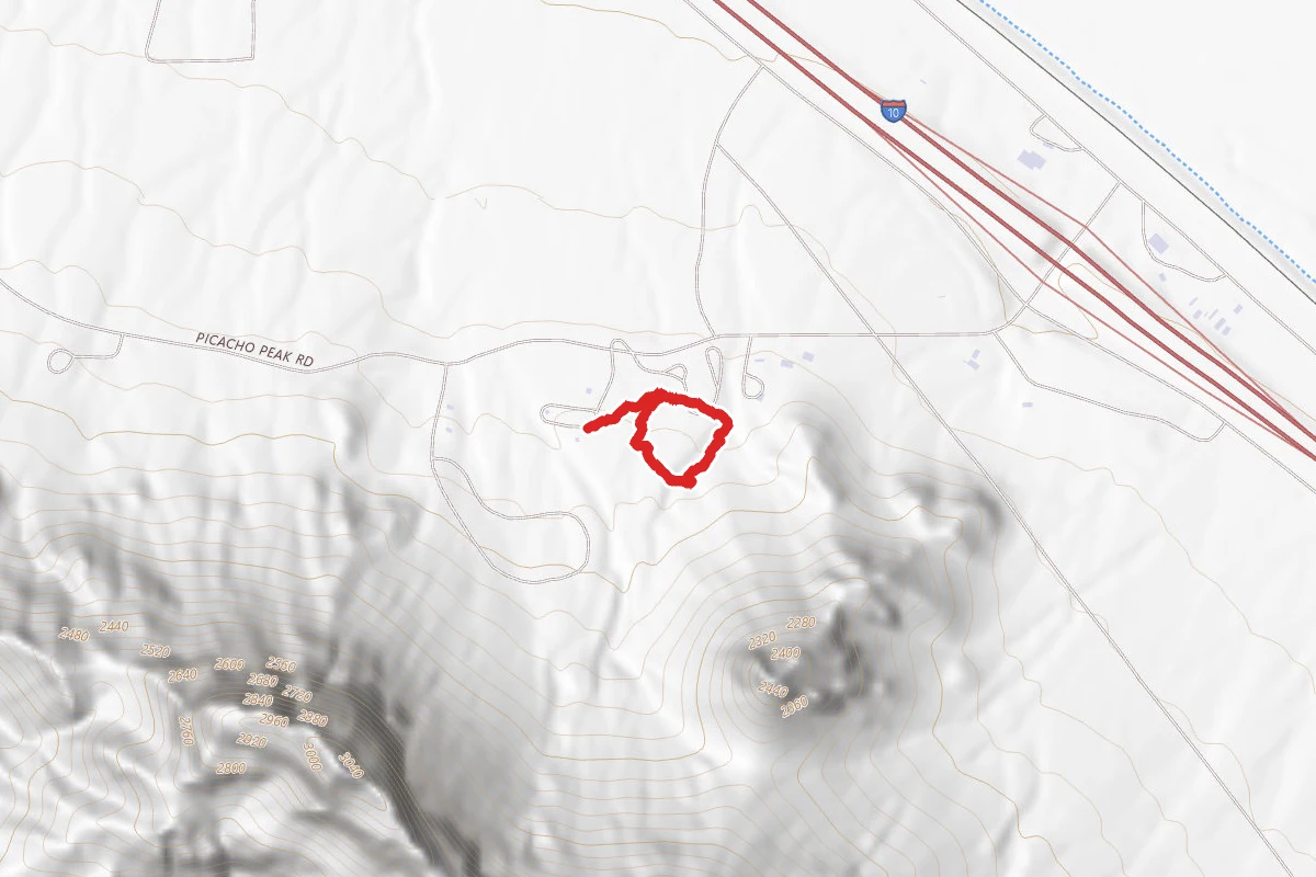
Nature
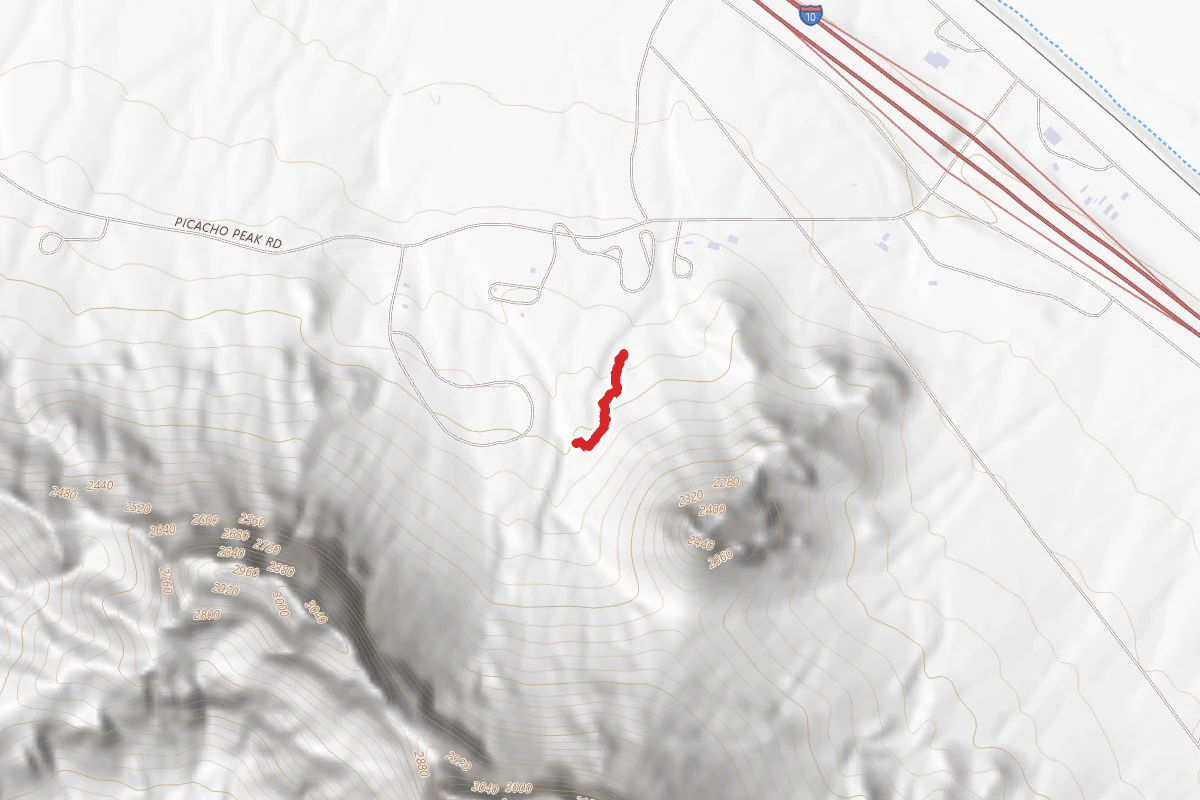
Nature Connector
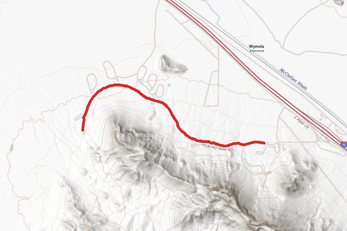
Park Road
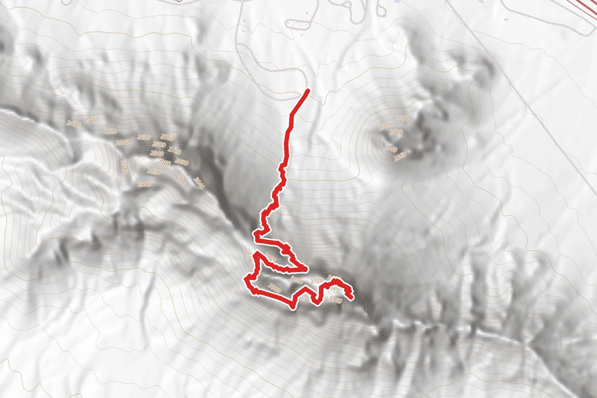
Picacho Peak via Hunter Trail
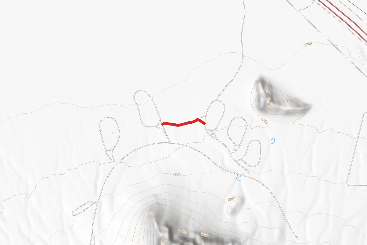
Quail Connector Trail
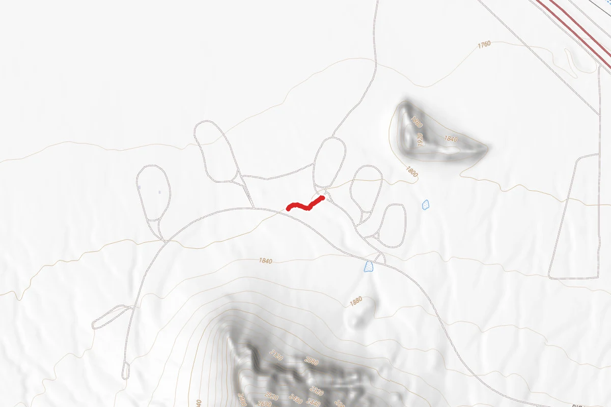
Roadrunner Connector Trail
Reviews
No reviews yet
Be the first to share your experience and help others plan their visit.
Hunting in this park
This park overlaps hunting unit
During hunting seasons, wear blaze orange and check regulations — see the Arizona hunting page
Within ~100 miles
Parks near Picacho Peak State Park

Ironwood Forest National Monument
Arizona
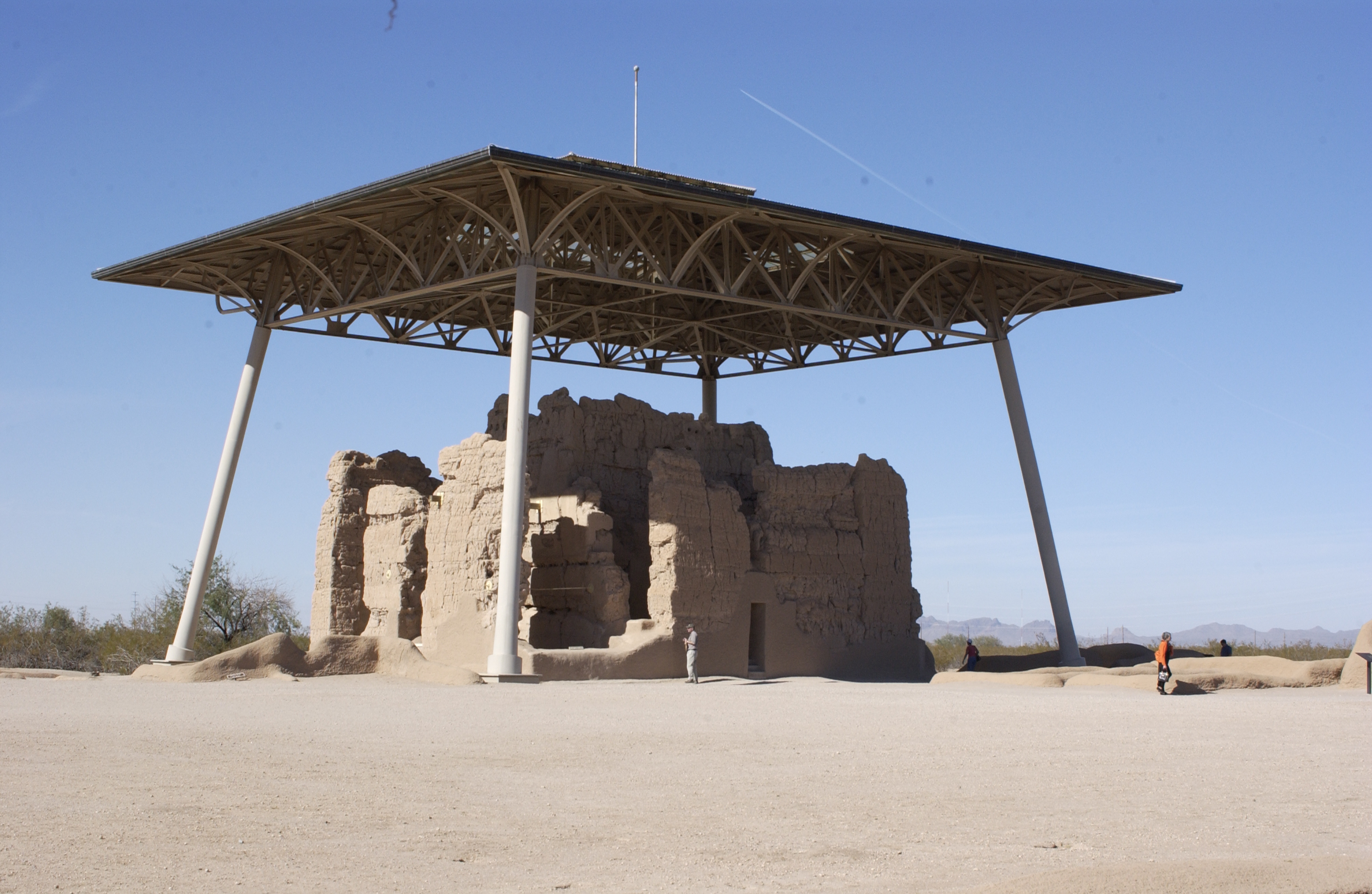
Casa Grande Ruins National Monument
Arizona
McFarland State Historic Park
Arizona
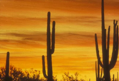
Saguaro National Park
Arizona
Arizona-Sonora Desert Museum
Arizona
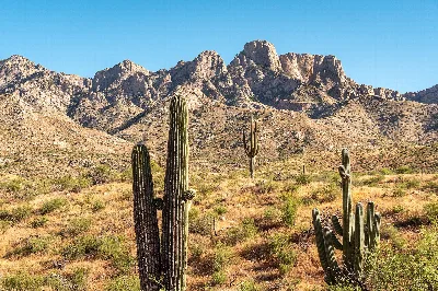
Catalina State Park
Arizona
Same state
More parks in Arizona
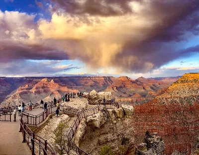
Grand Canyon National Park
Arizona
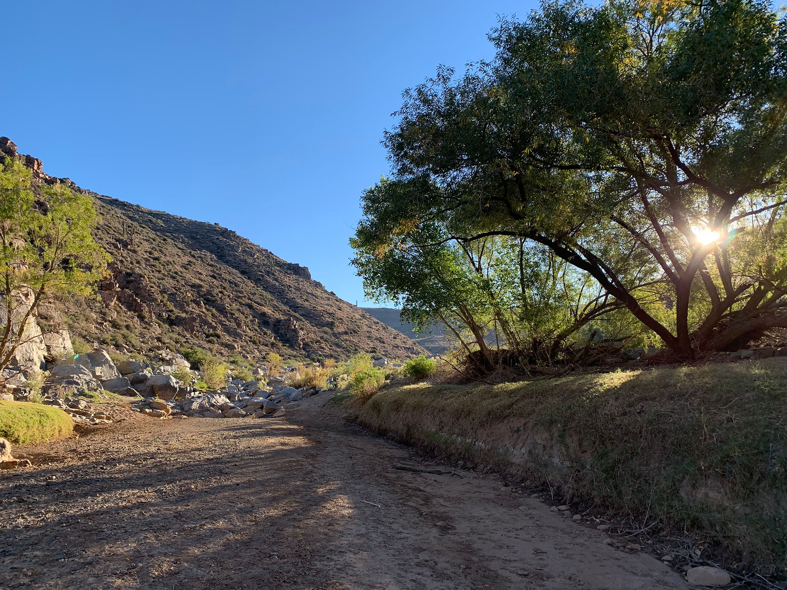
Agua Fria National Monument
Arizona
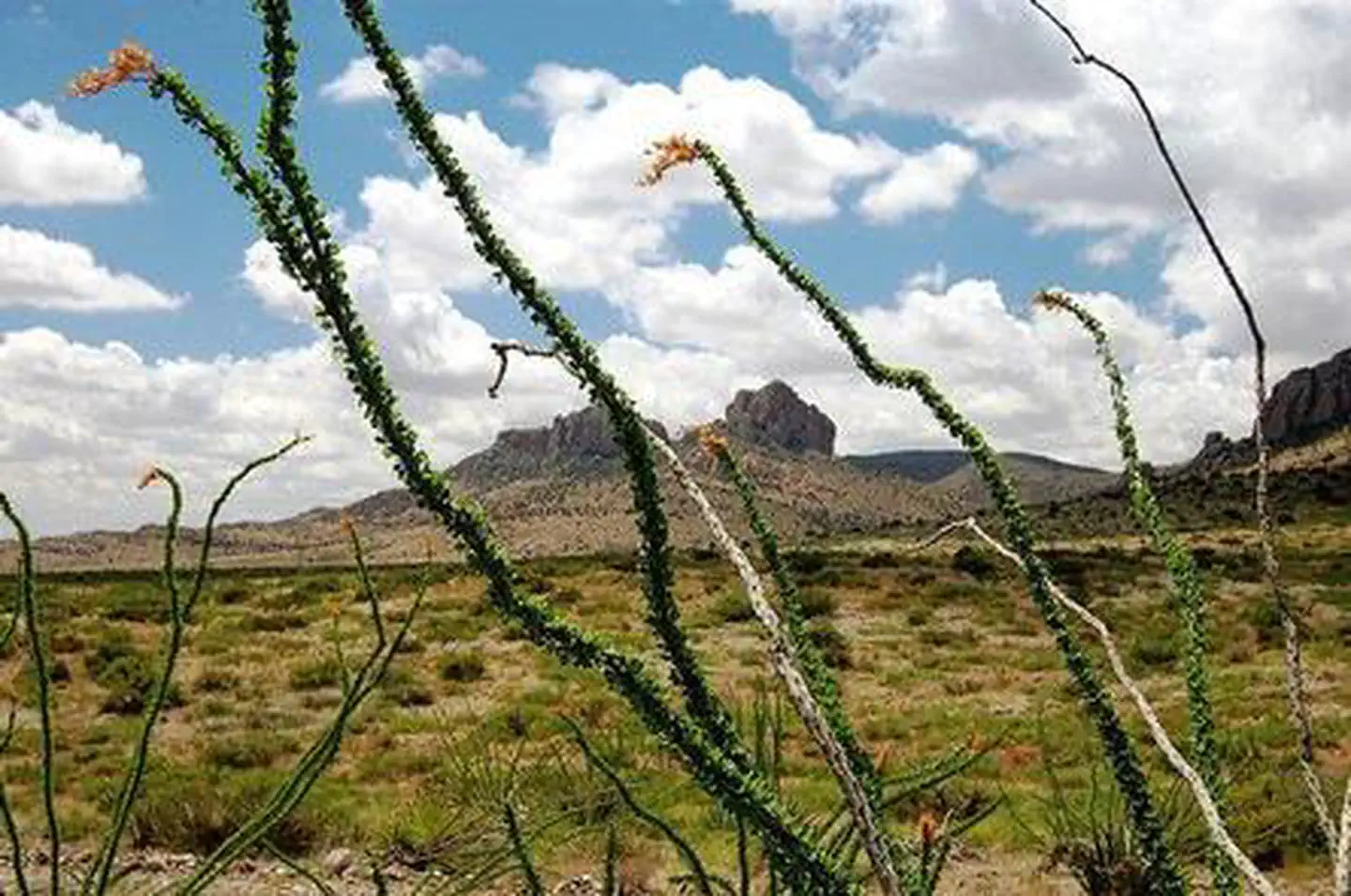
Alamo Hueco Mountains Wilderness Study Area
Arizona
Alamo Lake
Arizona
Alamo Lake State Park
Arizona
Alchesay National Fish Hatchery
Arizona
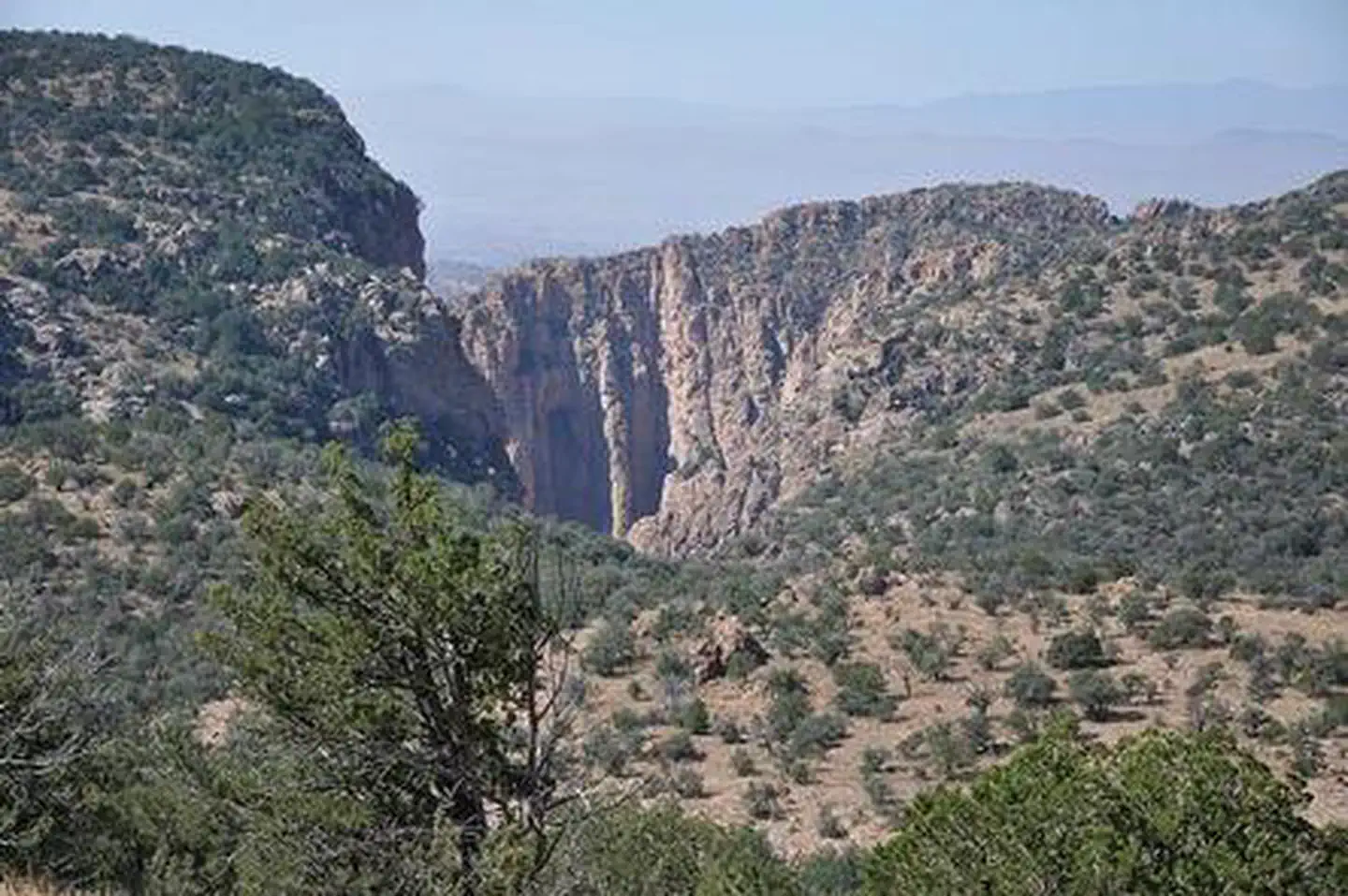
Apache Box Wilderness Study Area
Arizona
Apache National Forest
Arizona