Photo: United States Government, National Park ServicePublic domainWikimedia Commons
10
Trails
2
Campgrounds
Official sources & verification
Managed by Connecticut Department of Energy and Environmental Protection
Source of truth
- Pachaug State Forest — official page
Operator-published page with current visitor information.
Verify by phone or mail
- Operator:(860) 376-4075
About
Source: ctparks.com
From Wikipedia
Source: Wikipedia — text licensed CC BY-SA 4.0. Verify alerts and operational details with the managing agency below.
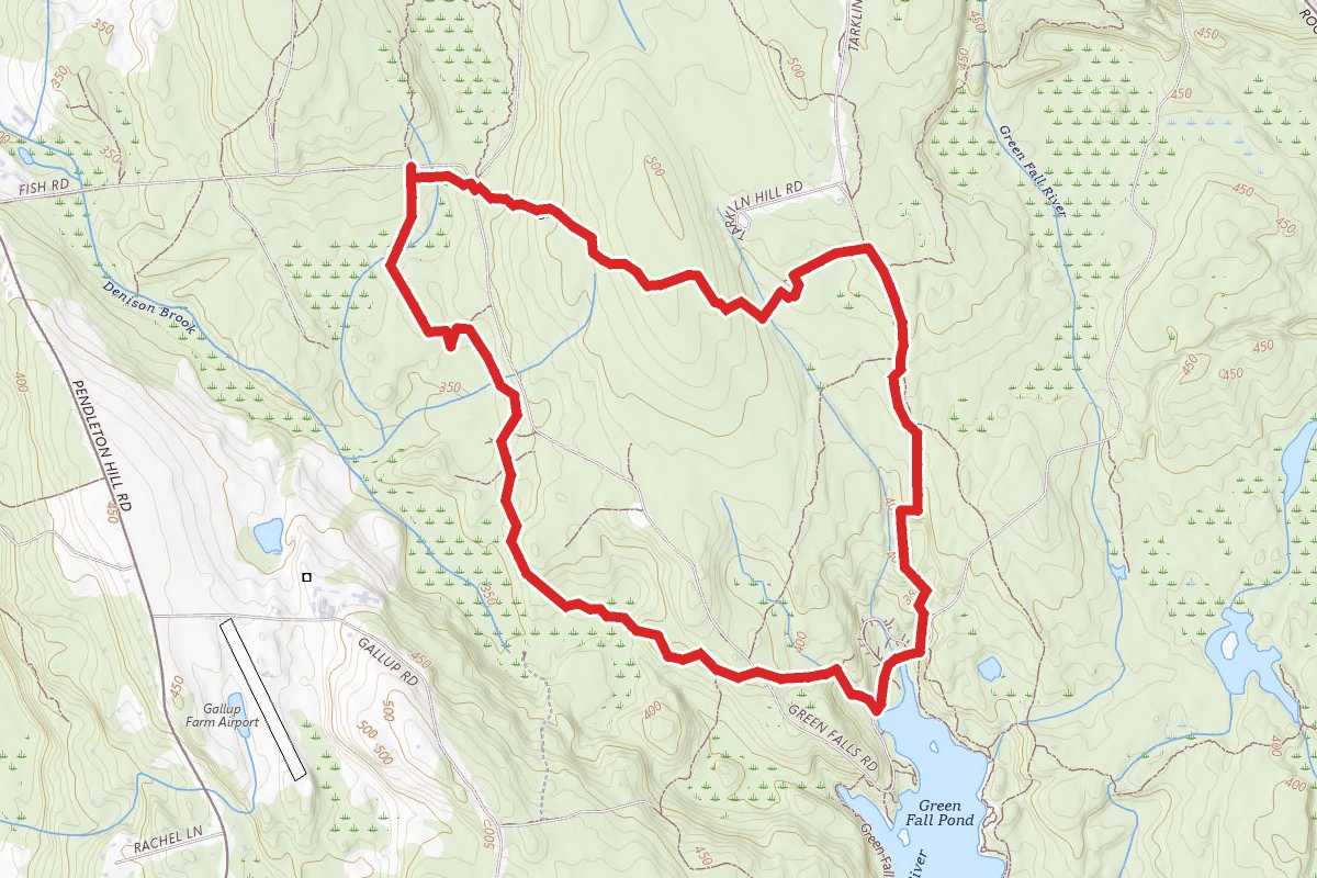
Green Fall Pond
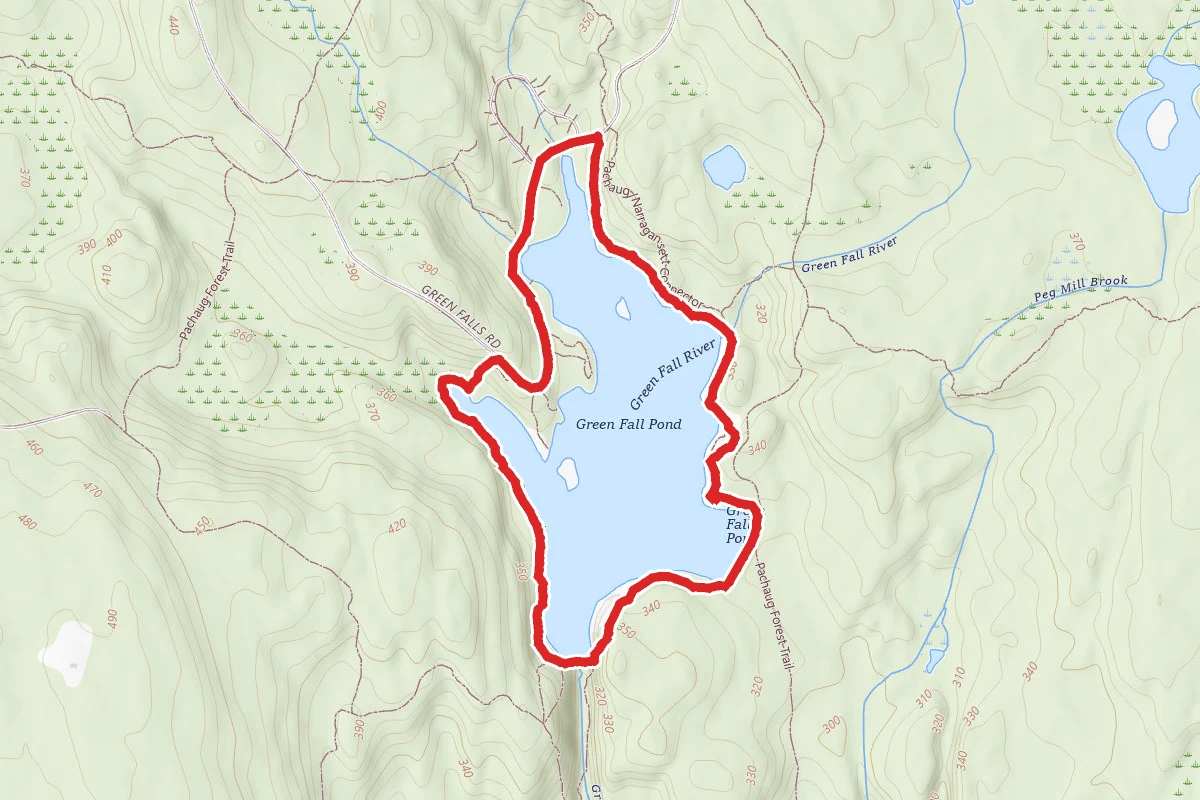
Green Falls Pond
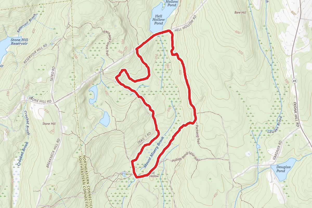
Hell Hollow
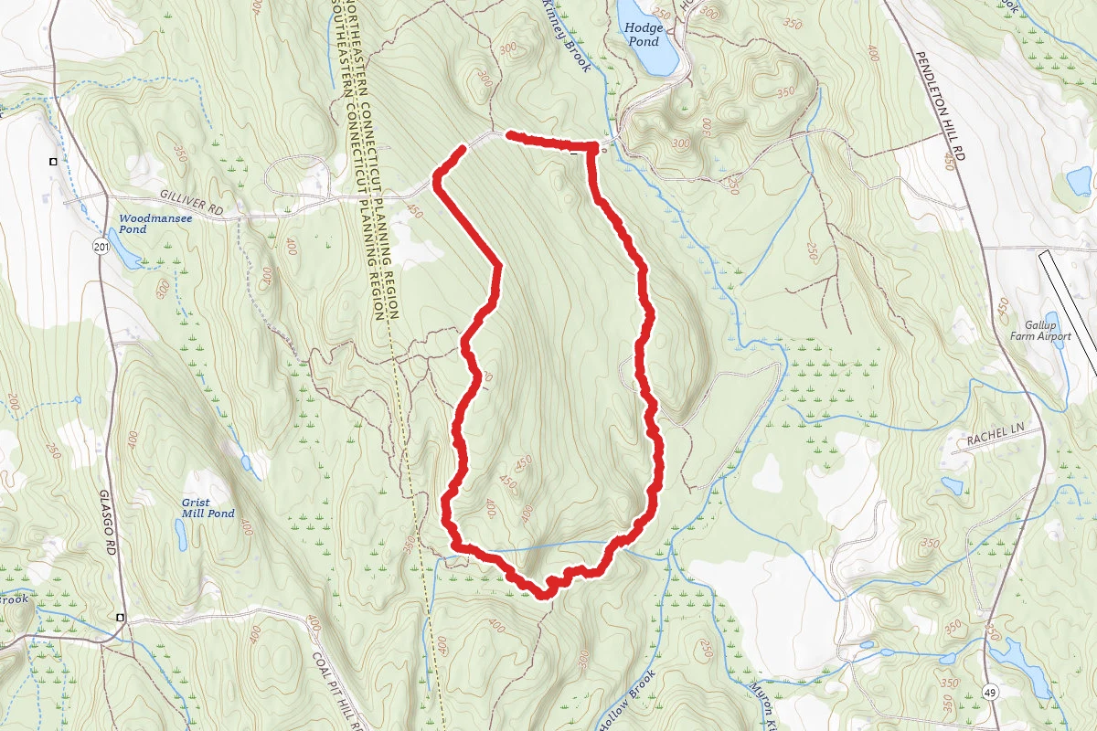
Hodge Pond Loop
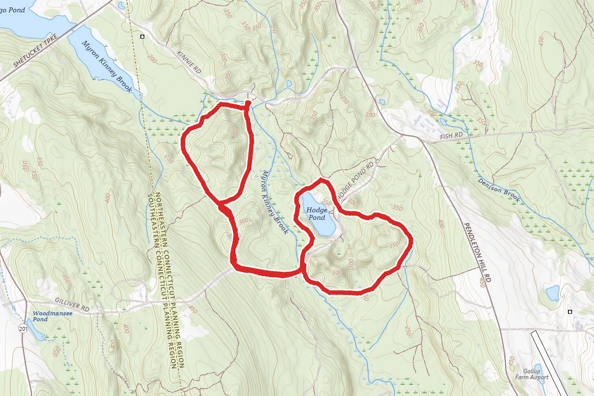
Kinney Brook Loop
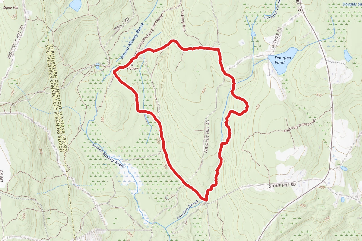
Lawden Brook Trail Loop
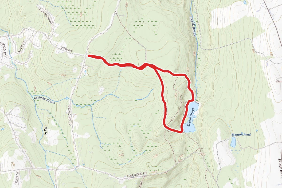
Lockes Meadow
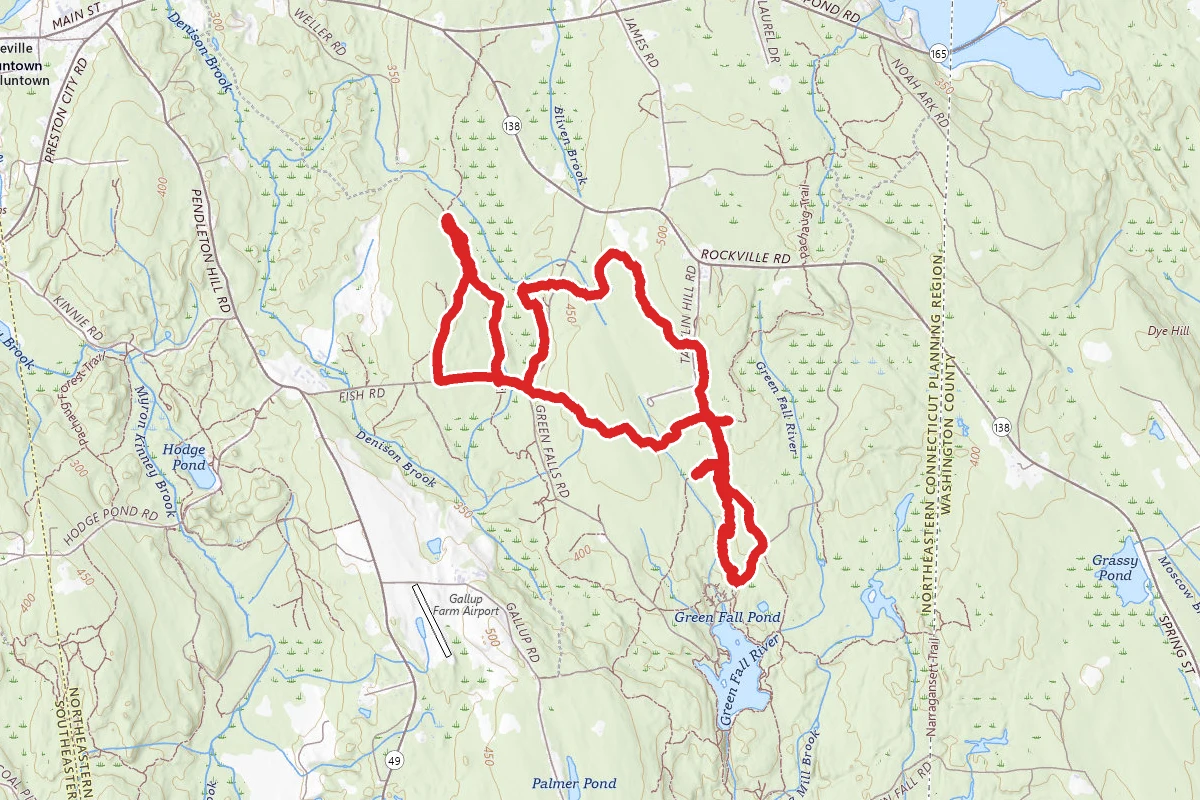
Nehantic and Laurel Loop Trails
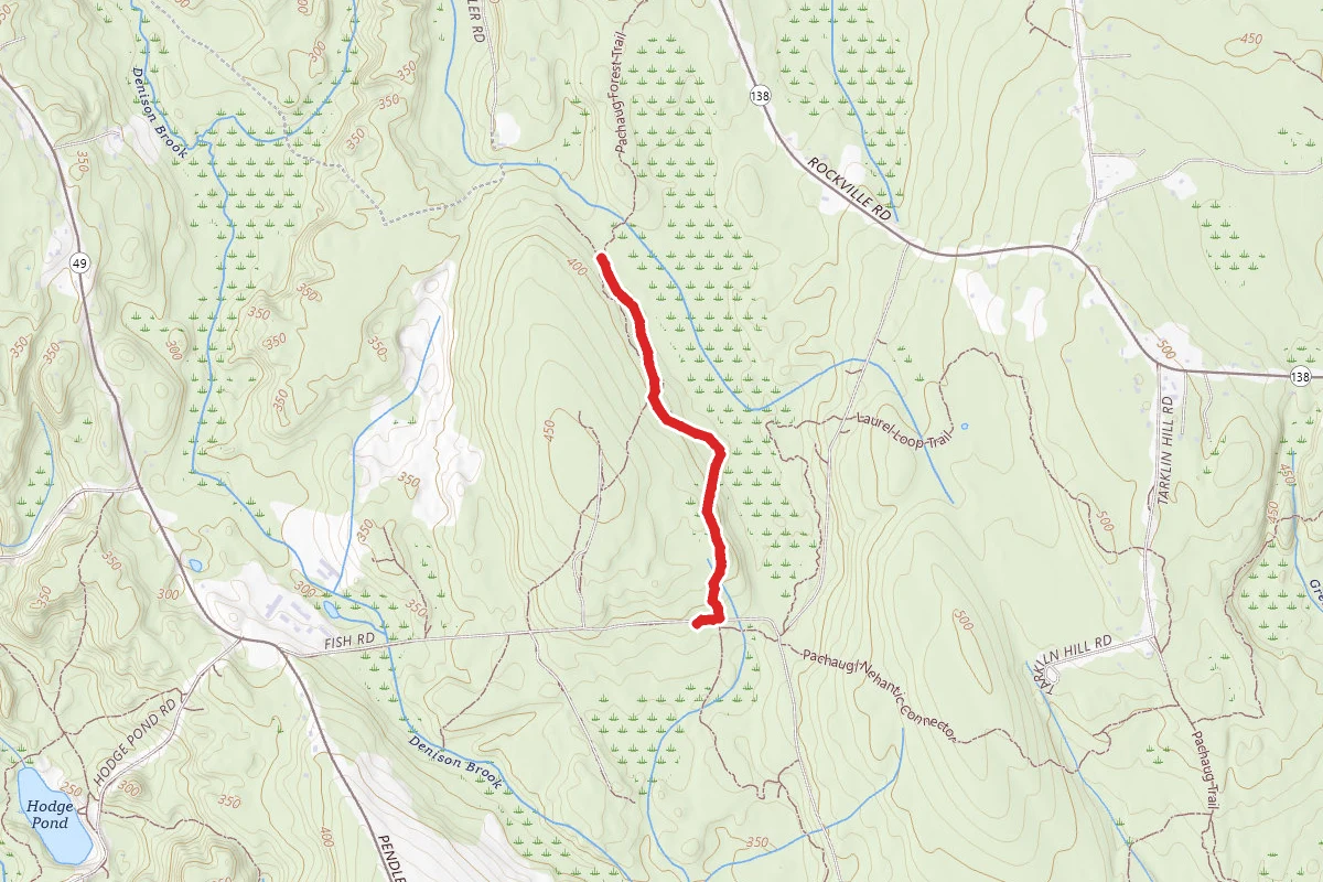
Nehantic Trail
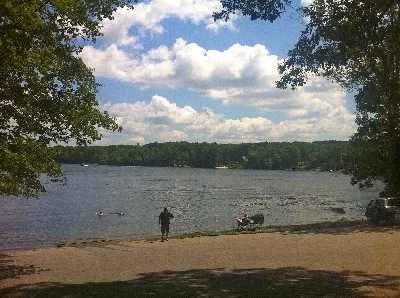
Wyassup Lake
Campgrounds
All campgrounds in Pachaug State Forest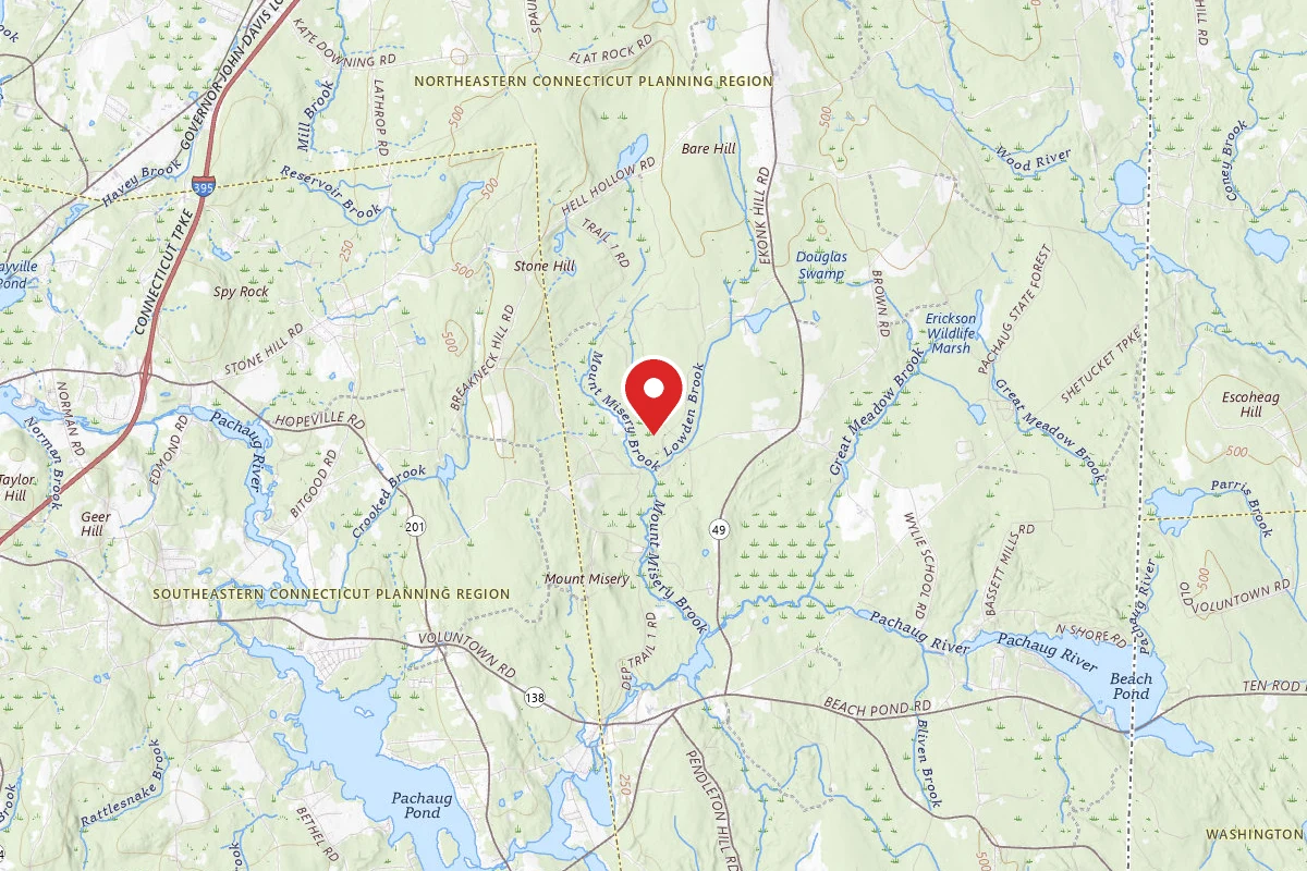
Reviews
No reviews yet
Be the first to share your experience and help others plan their visit.
Hunting in this park
This park overlaps hunting unit
During hunting seasons, wear blaze orange and check regulations — see the Connecticut hunting page
Within ~100 miles
Parks near Pachaug State Forest
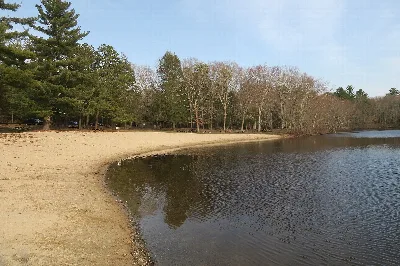
Hopeville Pond State Park
Connecticut
Ross Pond State Park
Connecticut
Quinebaug Lake State Park Scenic Reserve
Connecticut
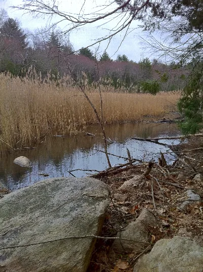
Old Furnace State Park
Connecticut
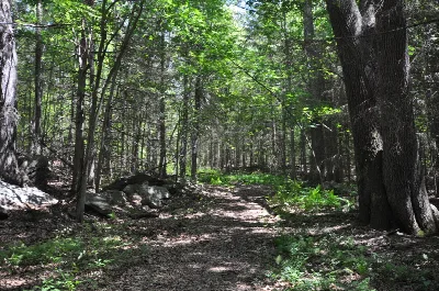
Mohegan State Forest
Connecticut
Mohegan State Forest Salt Rock Campground
Connecticut
Same state
More parks in Connecticut
Above All State Park Scenic Reserve
Connecticut
Algonquin State Forest
Connecticut
American Legion State Forest
Connecticut
Auerfarm State Park Scenic Reserve
Connecticut
Beaver Brook State Park Scenic Reserve
Connecticut
Beckett Hill State Park Scenic Reserve
Connecticut
Bennett's Pond State Park
Connecticut
Bigelow Hollow State Park
Connecticut