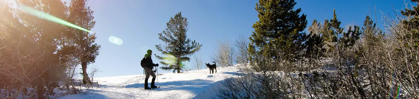
Photo: Via Recreation.govPublic domainRecreation.gov
Official sources & verification
Managed by National Recreation Area
Source of truth
- Agency source page
The page our published rules and notes are derived from.
Managing agency
- National Recreation Area
Find offices, alerts, and current orders for this agency.
Verify by phone or mail
- Operator:(307) 578-5900
- Email:Cody_WYMail@blm.gov
About
Park entrance fees, hours, and ranger-issued closures change without notice and may be out of date here. Always confirm current conditions, fees, and access restrictions with the managing agency before you travel. Outdoors is not responsible for closures, fines, or denied entry resulting from outdated information.
Source: recreation.gov
Reviews
No reviews yet
Be the first to share your experience and help others plan their visit.
Hunting in this park
Hunting is generally prohibited in this National Park Service unit
Verify current park-specific rules with the National Park Service before planning any hunt. See NPS regulations
Within ~100 miles
Parks near North Fork Shoshone River
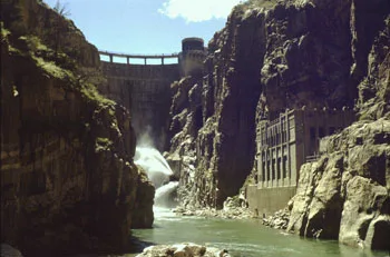
Buffalo Bill Reservoir
Wyoming
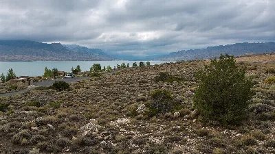
Buffalo Bill State Park
Wyoming
Newton Lakes
Wyoming
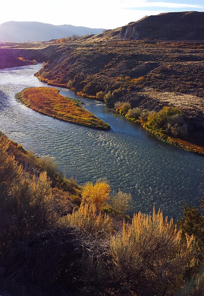
Shoshone River
Wyoming
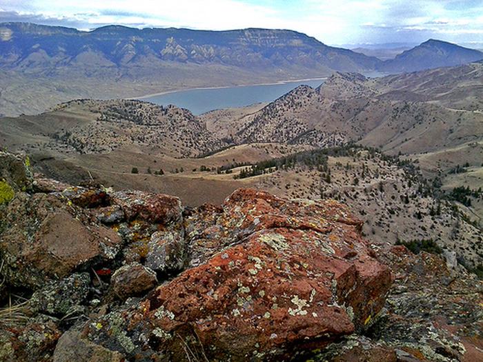
Sheep Mountain Trail
Wyoming
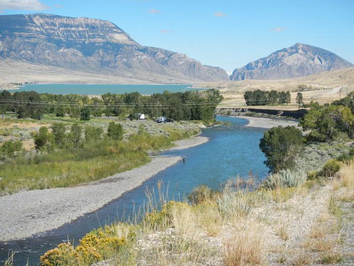
South Fork Shoshone River
Wyoming
Same state
More parks in Wyoming
Bridger-Teton National Forest
Wyoming
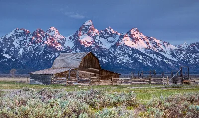
Grand Teton National Park
Wyoming
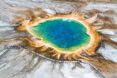
Yellowstone National Park
Wyoming
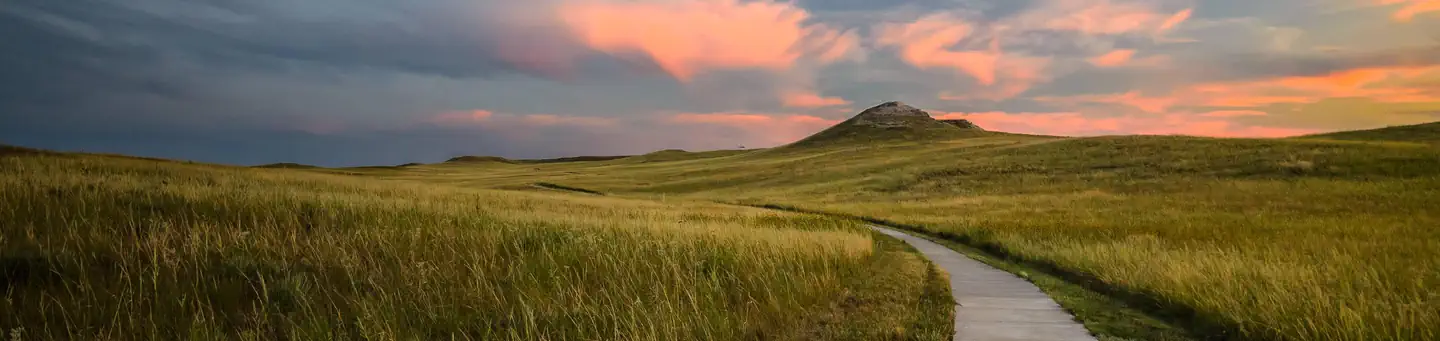
Agate Fossil Beds National Monument
Wyoming
Alcova Reservoir
Wyoming
Alkali Creek WSA
Wyoming
Angostura Reservoir
Wyoming
Atlantic City/South Pass
Wyoming