Photo: Oscar Vasquez / California Department of Parks and RecreationPublic domainWikimedia Commons
22
Trails
Official sources & verification
Managed by California Department of Parks and Recreation
Source of truth
- Mount Tamalpais State Park — official page
Operator-published page with current visitor information.
Verify by phone or mail
- Operator:(415) 388-2070
About
Source: parks.ca.gov
From Wikipedia
Source: Wikipedia — text licensed CC BY-SA 4.0. Verify alerts and operational details with the managing agency below.
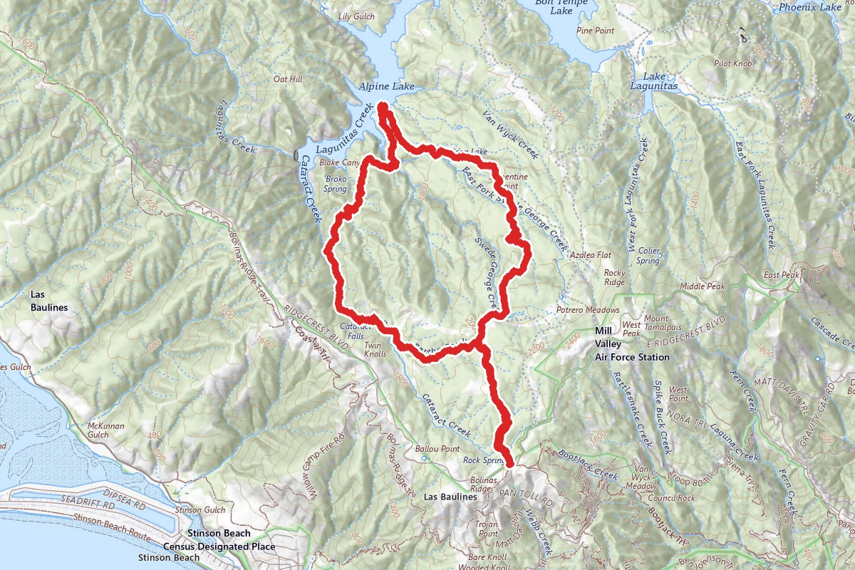
Alpine Lake and Serpentine Point
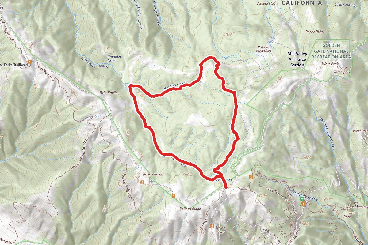
Benstein and Cataract Loop Trail
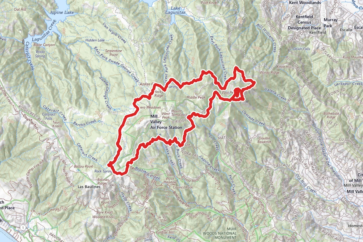
Benstein, Northside and Rock Spring Trail Loop
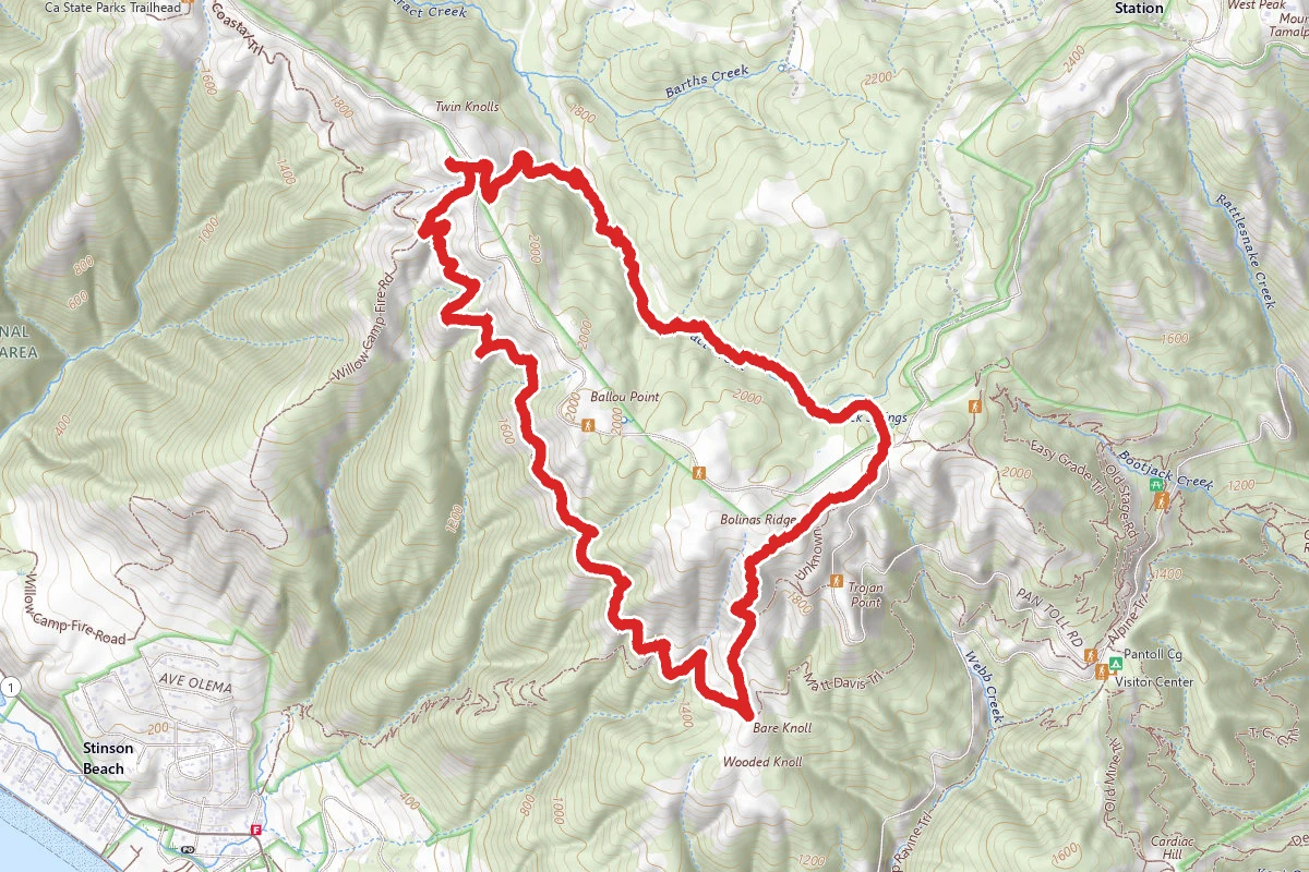
Cataract and Coastal Trail Loop
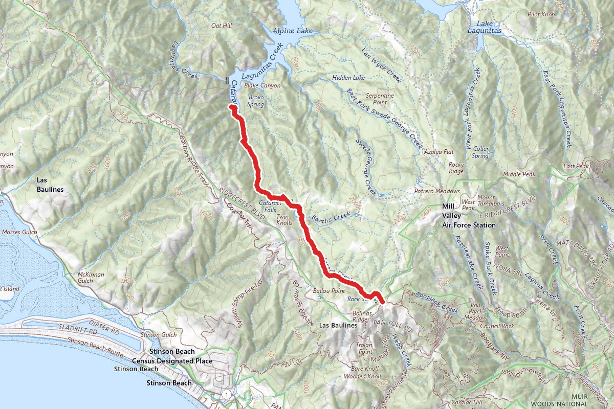
Cataract Falls and Alpine Lake via Simmons Trail
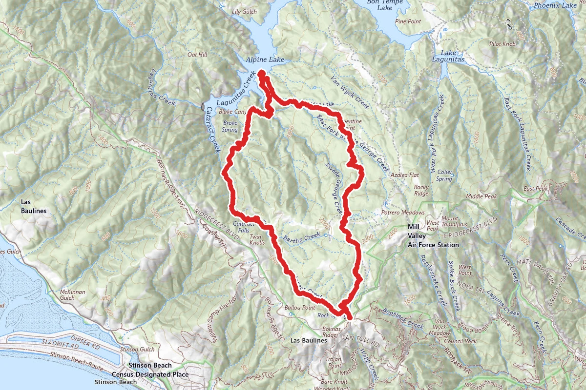
Cataract Falls and Potrero Meadows Loop (Cataract, Helen Market, Kent, Benstein Trails)

Cataract Falls to Simmons Trail Loop
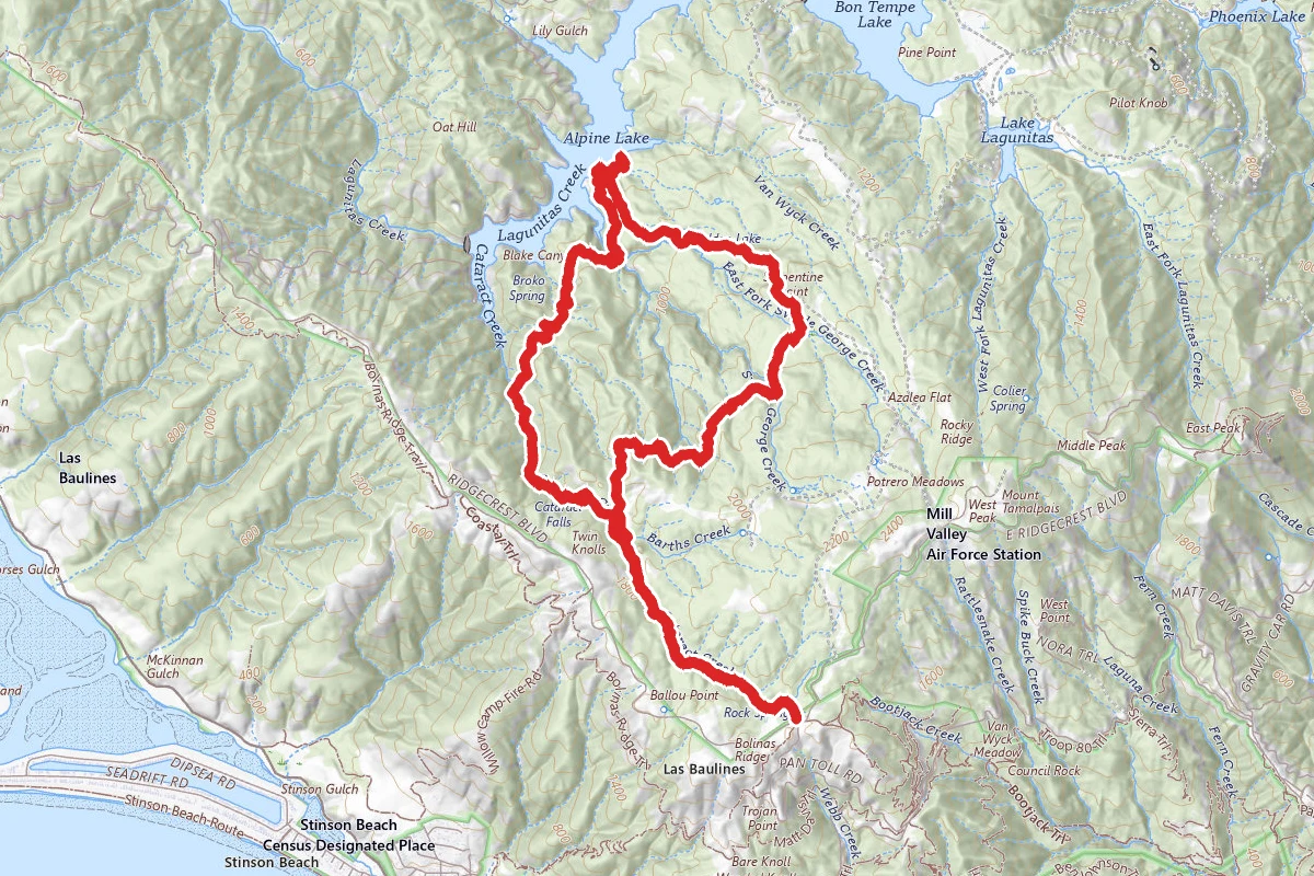
Cataract, Helen Market, Kent and High Marsh Trail Loop
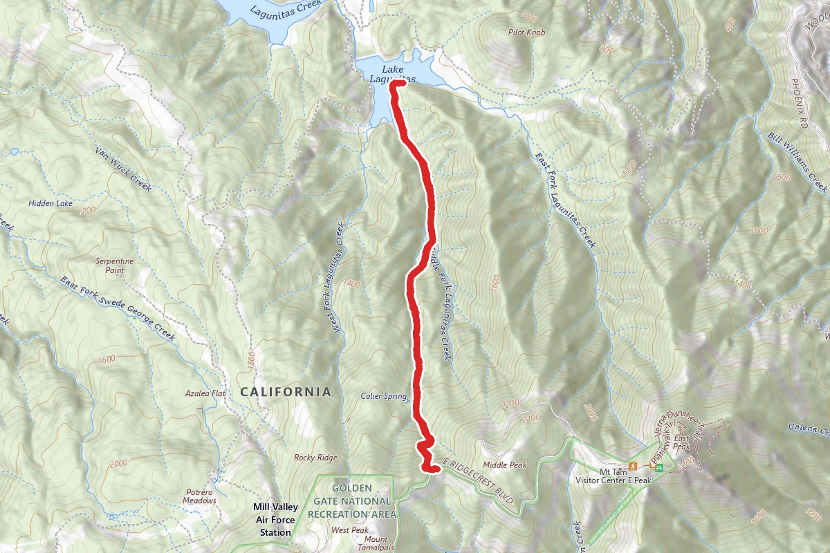
Colier Spring Trail to Lagunitas Lake
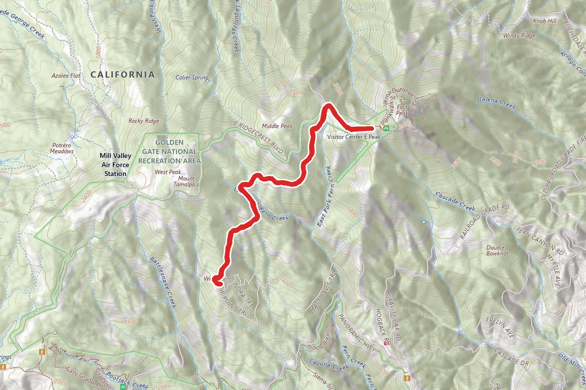
East Peak to West Point
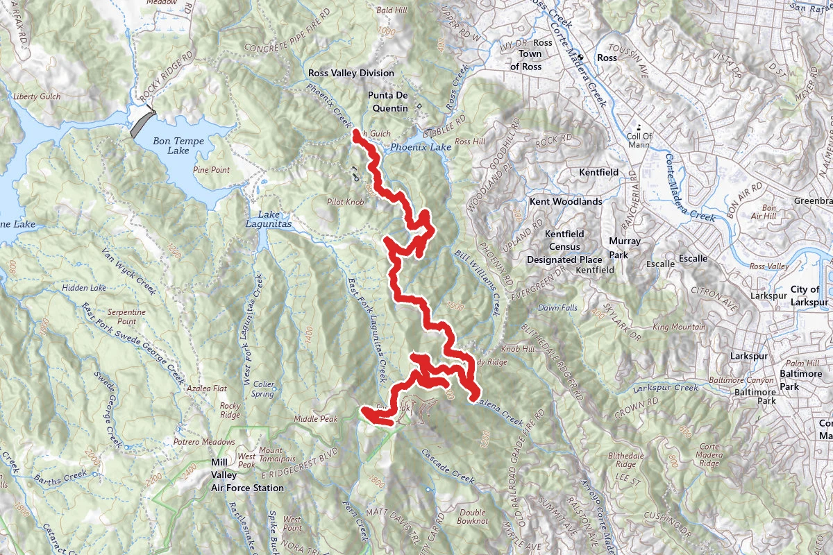
Eldridge Grade
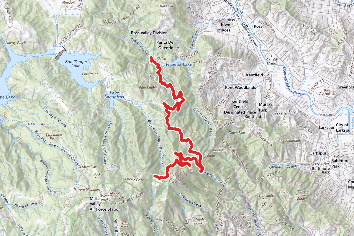
Eldridge Grade Fire Road
Reviews
No reviews yet
Be the first to share your experience and help others plan their visit.
Hunting in this park
This park overlaps hunting unit
During hunting seasons, wear blaze orange and check regulations — see the California hunting page
Within ~100 miles
Parks near Mount Tamalpais State Park
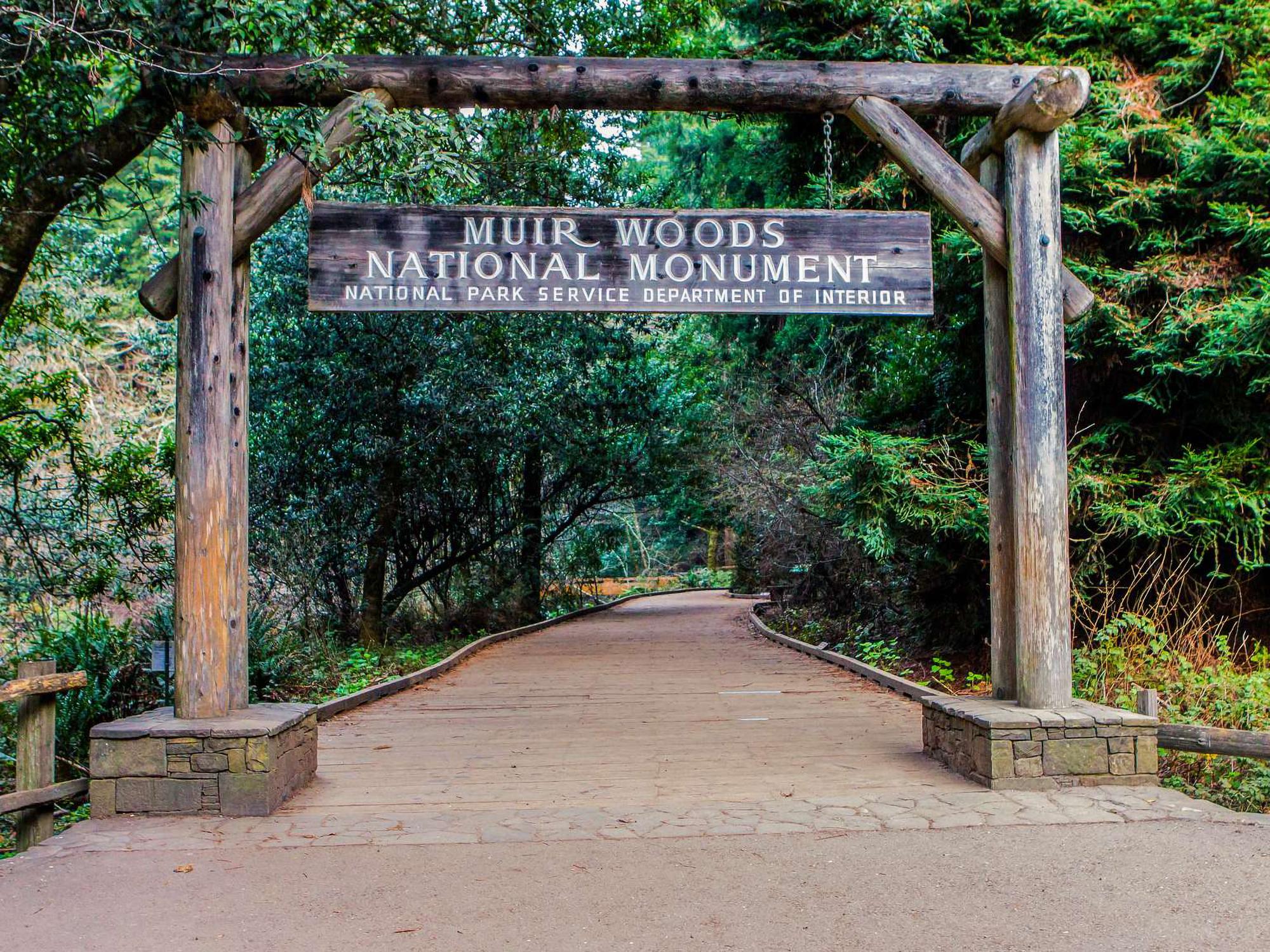
Muir Woods National Monument
California
Golden Gate National Recreation Area
California
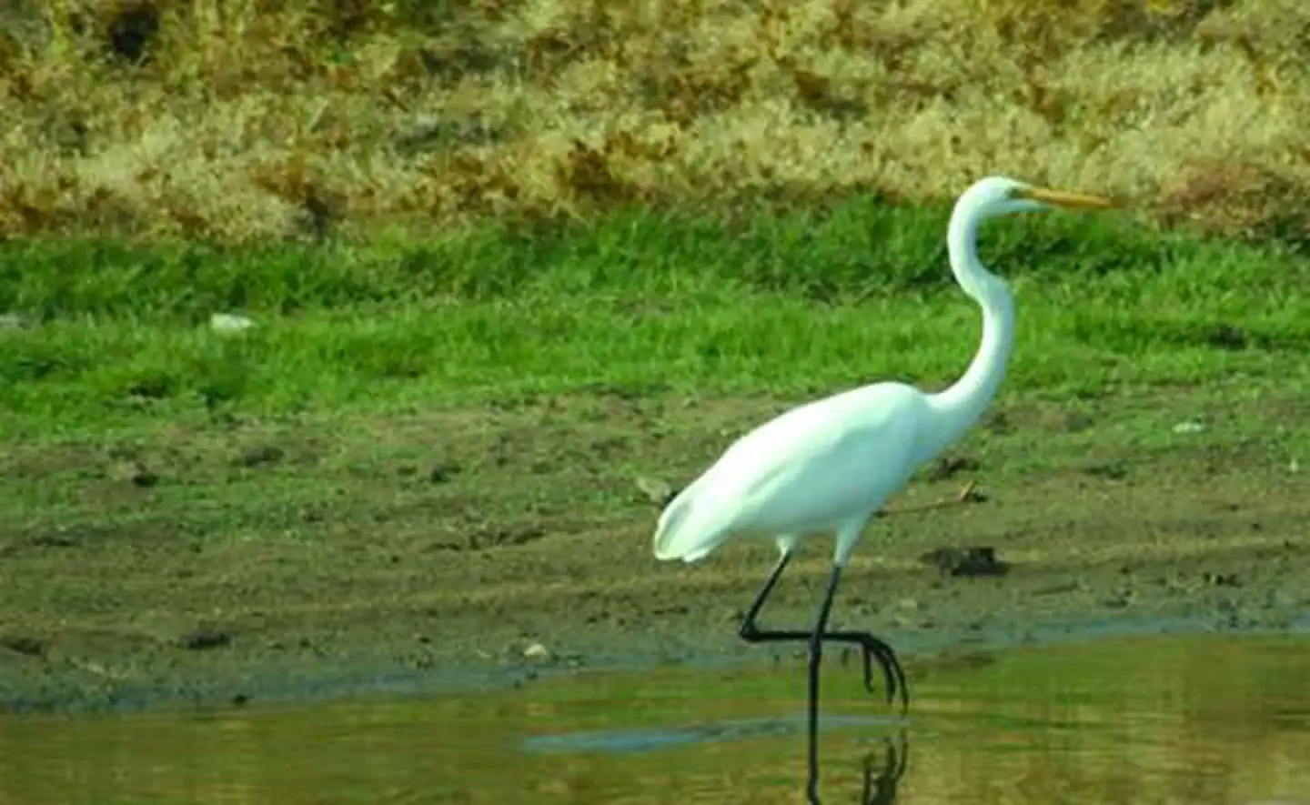
S F Bay Model Regional Visitor Center
California

Marin Islands National Wildlife Refuge
California
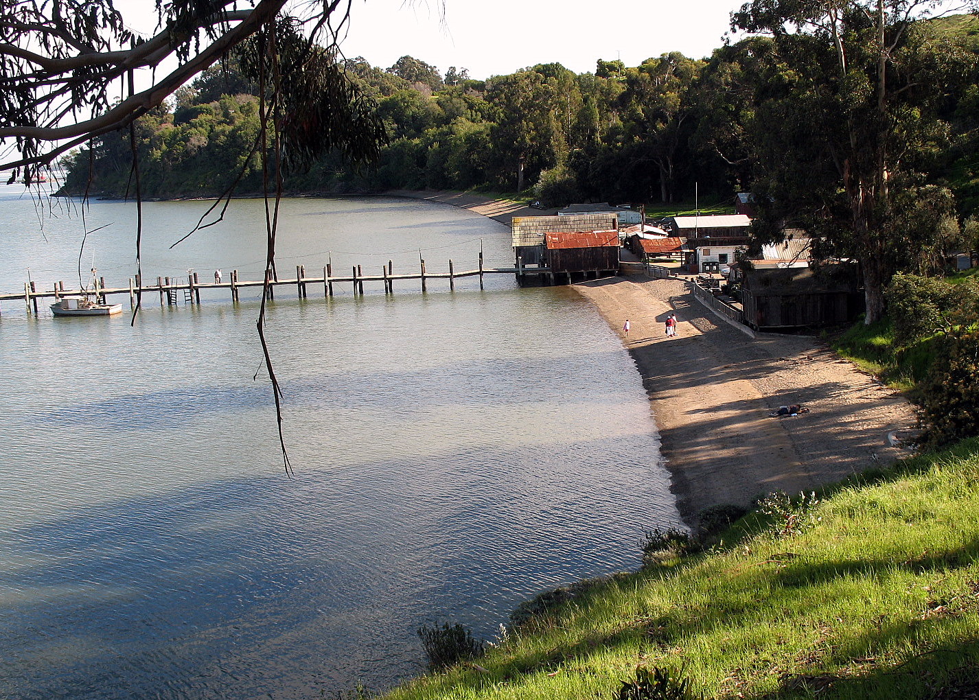
China Camp State Park
California

Angel Island State Park
California
Same state
More parks in California
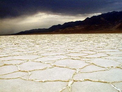
Death Valley National Park
California
Inyo National Forest
California
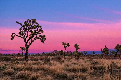
Joshua Tree National Park
California
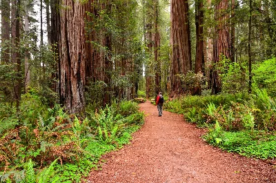
Redwood National and State Parks
California
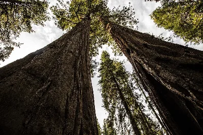
Sequoia National Park
California
Shasta-Trinity National Forest
California
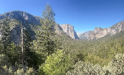
Yosemite National Park
California
Admiral William Standley State Recreation Area
California