No photos yet
68K
Acres
9
Campgrounds
Official sources & verification
Managed by National Park Service
Source of truth
- Missouri National Recreational River — official page
Operator-published page with current visitor information.
- Agency source page
The page our published rules and notes are derived from.
About
The Missouri National Recreational River is a National Recreational River located on the border between Nebraska and South Dakota. The designation was first applied in 1978 to a 59-mile section of the Missouri River between Gavins Point Dam and Ponca State Park. In 1991, an additional 39-mile section between Fort Randall Dam and Niobrara, Nebraska, was added to the designation. These two stretches of the Missouri River are the only parts of the river between Montana and the mouth of the Missouri that remain undammed or unchannelized. The last 20 miles of the Niobrara River and 6 miles of Verdigre Creek were also added in 1991.
Source: Wikipedia — text licensed CC BY-SA 4.0. Verify alerts and operational details with the managing agency below.
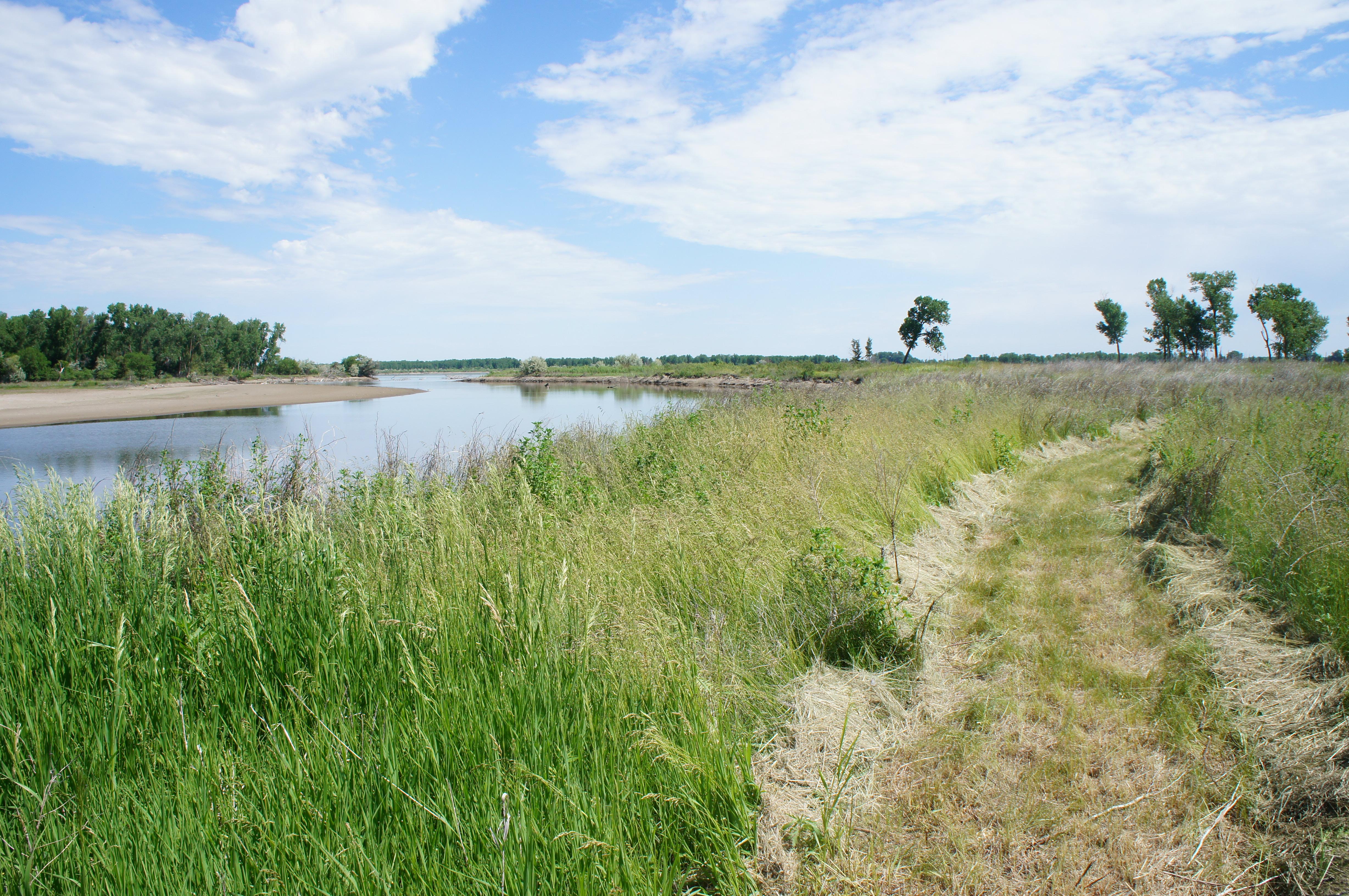
Bow Creek Primitive Camping
Wynot, NEPricing varies — check with the operator
Campground State Park
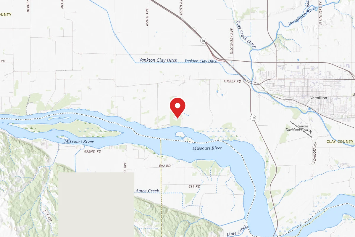
Clay County Park
Vermillion, SDPricing varies — check with the operator
Campground Dispersed Reservable
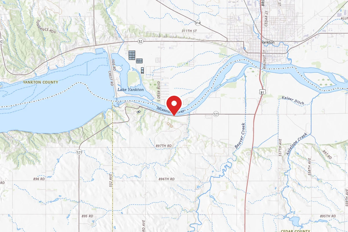
Eagles Roost RV Park
Crofton, NEPricing varies — check with the operator
Campground Private
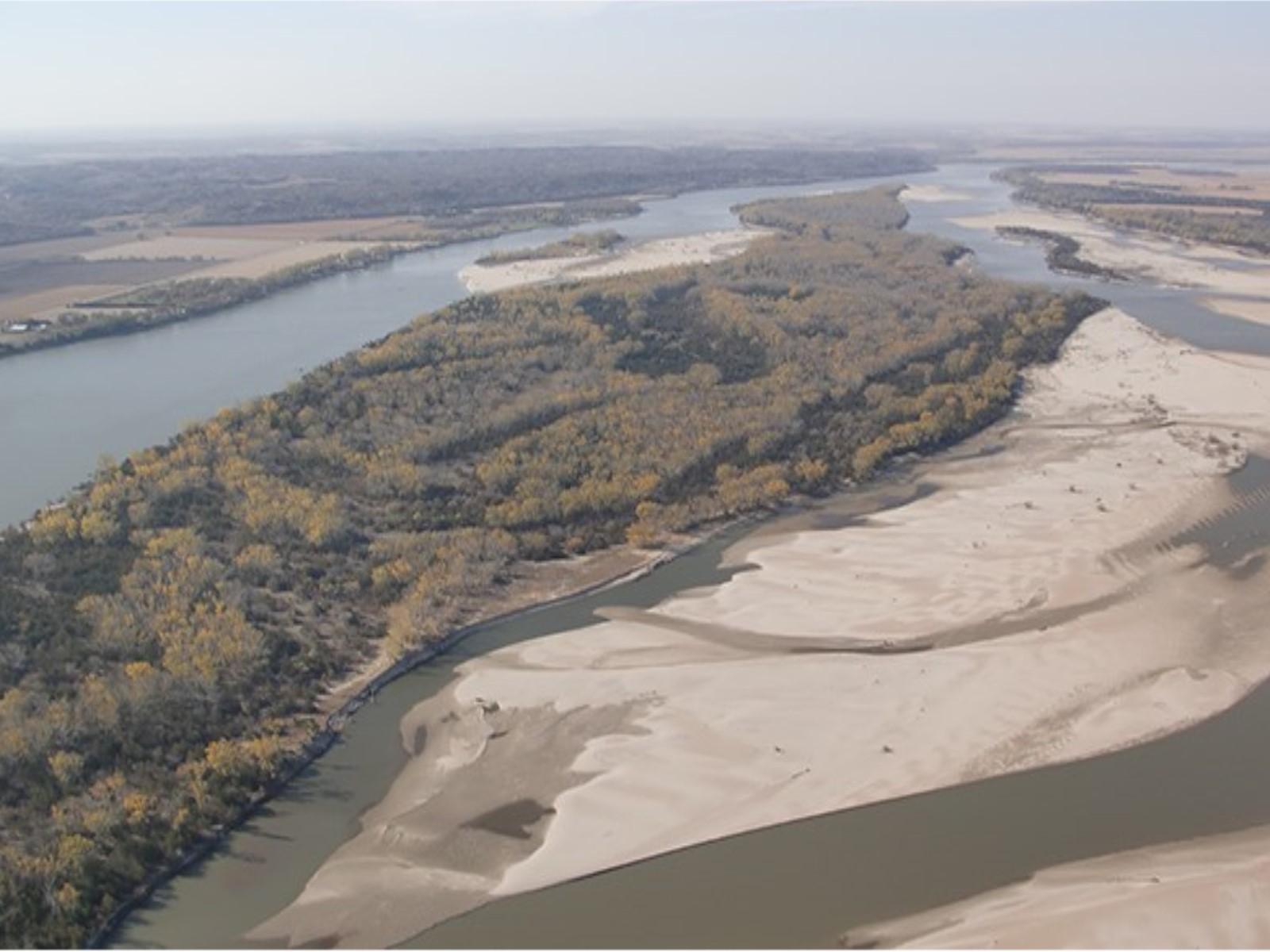
Goat Island Primitive Camping
Wynot, NEPricing varies — check with the operator
Campground State Park
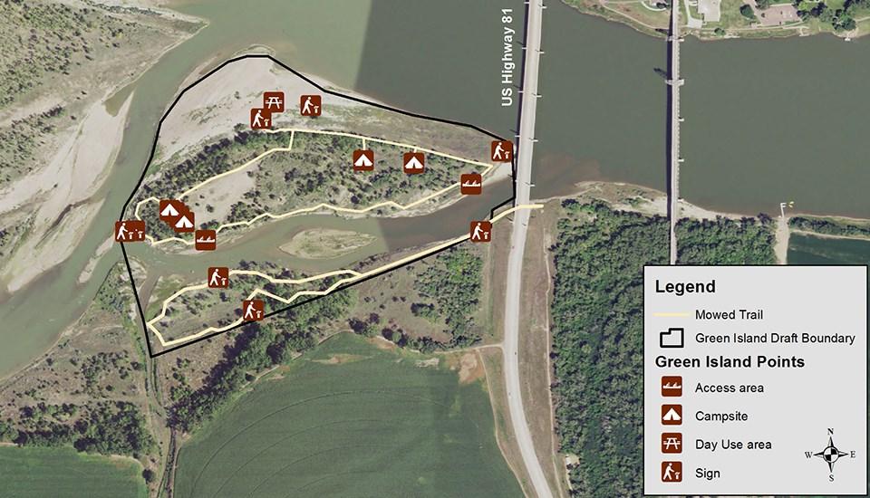
Green Island Primitive Camping
Crofton, NEPricing varies — check with the operator
Campground State Park
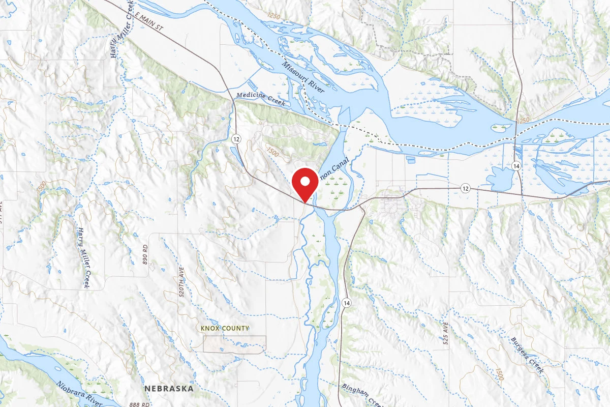
Niobrara State Park
Niobrara, NEPricing varies — check with the operator
Campground State Park Reservable
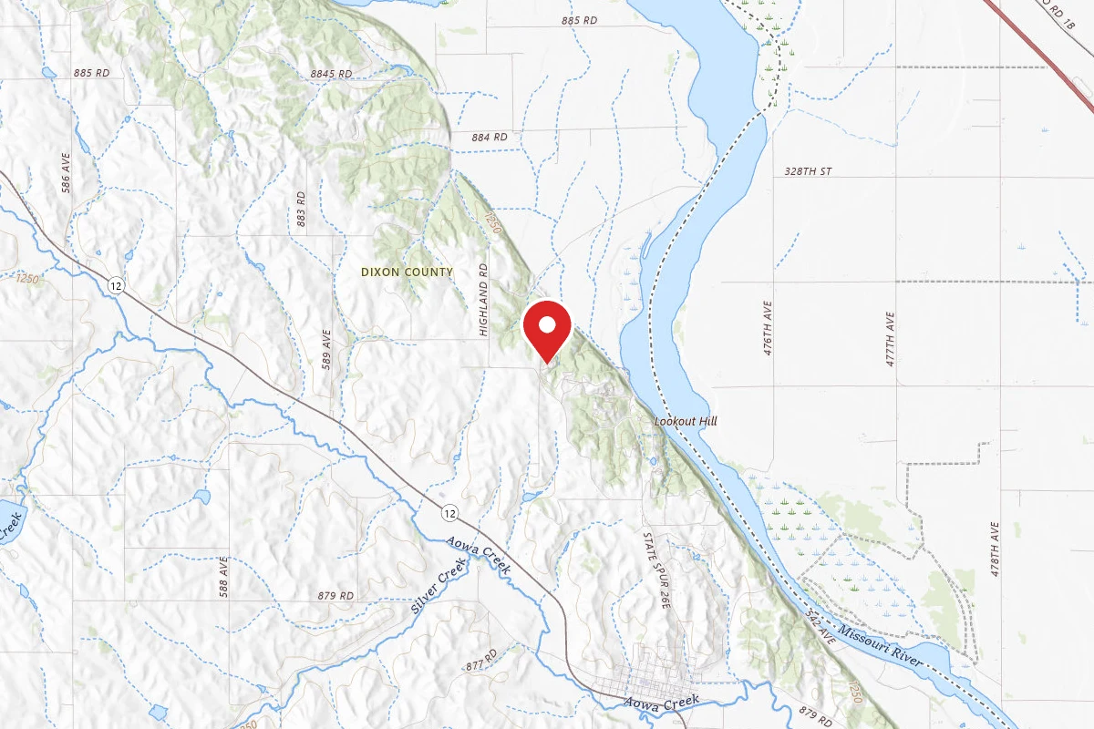
Ponca State Park
Ponca, NEPricing varies — check with the operator
Campground State Park Reservable
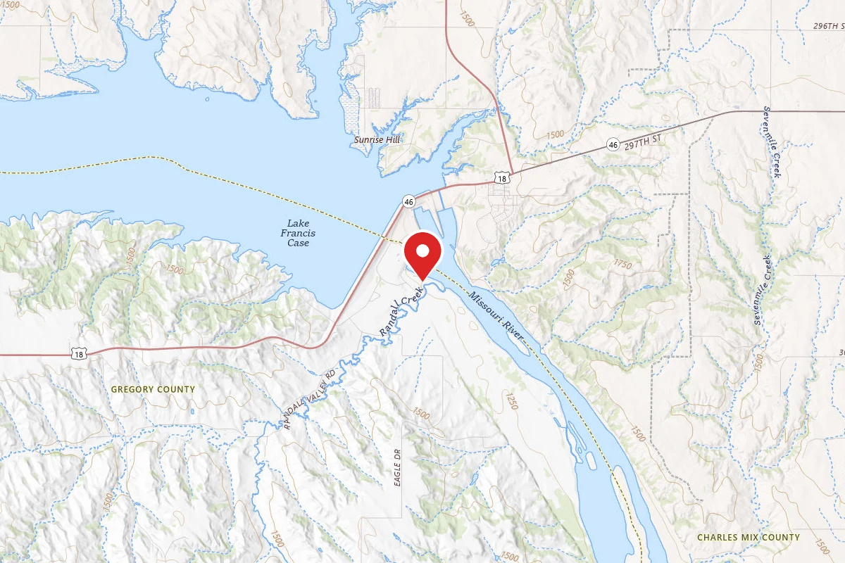
Randall Creek Park
Lake Andes, SDPricing varies — check with the operator
Campground State Park Reservable
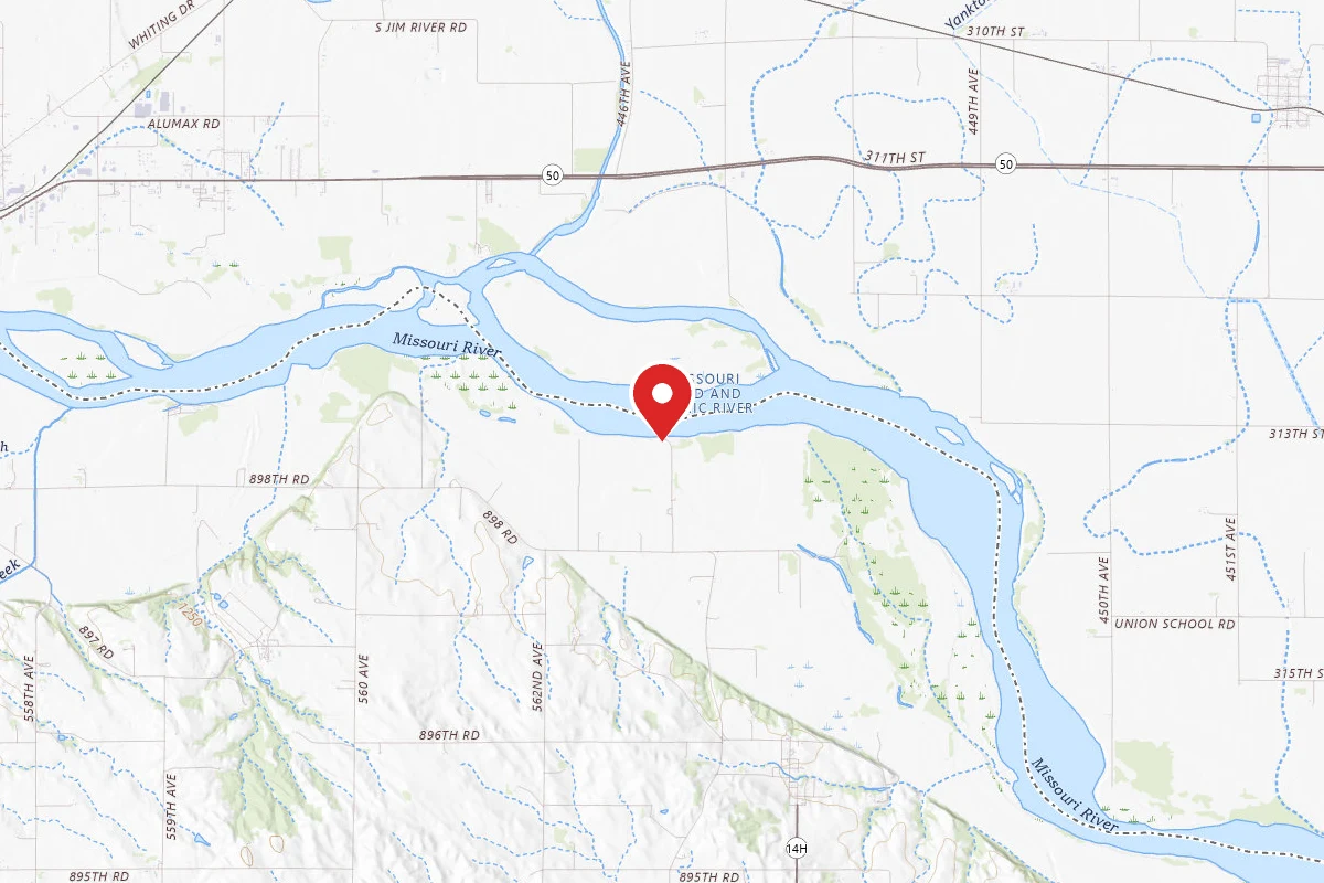
St. Helena River Access
Saint Helena, NEPricing varies — check with the operator
Campground State Park
Reviews
No reviews yet
Be the first to share your experience and help others plan their visit.
Within ~100 miles
Parks near Missouri National Recreational River
Gavins Point Dam Lewis And Clark Lake Ne And Sd — Bloomfield
South Dakota
0.1 sq mi
Parkrecreation area
Gavins Point Dam Lewis And Clark Lake Ne And Sd — Weigand
Nebraska
0.6 sq mi
Parkrecreation area
Lewis and Clark Lake State Recreation Area
Nebraska
Parkrecreation area
Gavins Point Dam Lewis And Clark Lake Ne And Sd — Miller Creek
Nebraska
0.0 sq mi
Parkrecreation area
Gavins Point Dam Lewis And Clark Lake Ne And Sd — Tabor
South Dakota
0.0 sq mi
Parkrecreation area
Gavins Point Dam Lewis And Clark Lake Ne And Sd — Gavins Point Trails
South Dakota
0.0 sq mi
Parkrecreation area
Same state
More parks in Nebraska
Agate Fossil Beds National Monument
Nebraska
ParkNational Monument
Alexandria State Recreation Area
Nebraska
Parkrecreation area
Almena Diversion Dam
Nebraska
ParkNat'l Recreation Area
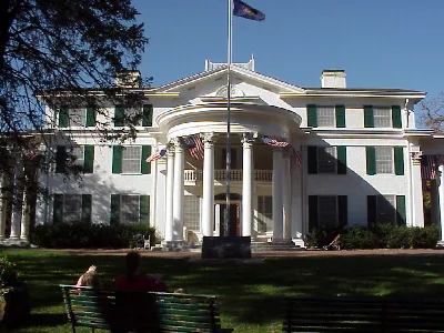
Arbor Lodge State Historical Park
Nebraska
ParkState Park
Arcadia Diversion Dam
Nebraska
ParkNat'l Recreation Area
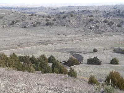
Ash Hollow State Historical Park
Nebraska
ParkState Park
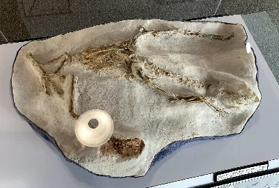
Ashfall State Historical Park
Nebraska
ParkState Park
Blue River State Recreation Area
Nebraska
Parkrecreation area
Spot an error in our data on Missouri National Recreational River?