No photos yet
Official sources & verification
Managed by National Recreation Area
Source of truth
- Agency source page
The page our published rules and notes are derived from.
Managing agency
- National Recreation Area
Find offices, alerts, and current orders for this agency.
Verify by phone or mail
- Operator:320-693-2849
- Email:Litchfieldwetland@fws.gov
About
Litchfield Wetland Management District is located on the eastern edge of the Prairie Pothole Region in central Minnesota. More than 33,000 acres (130 km2) of United States Fish and Wildlife Service-owned land and 8,000 acres (32 km2) of wetland easements provide marsh, prairie, transition, and woodland habitats. District lands are located on over 150 waterfowl production areas scattered throughout seven counties. These areas vary greatly in size and vegetation and provide habitat for numerous plant and animal species.
Source: Wikipedia — text licensed CC BY-SA 4.0. Verify alerts and operational details with the managing agency below.
Reviews
No reviews yet
Be the first to share your experience and help others plan their visit.
Hunting in this park
Hunting is generally prohibited in this National Park Service unit
Verify current park-specific rules with the National Park Service before planning any hunt. See NPS regulations
Within ~100 miles
Parks near Litchfield Wetland Management District
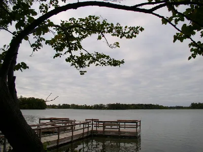
Greenleaf Lake State Recreation Area
Minnesota
Parkrecreation area
Northern Tallgrass Prairie National Wildlife Refuge
Minnesota
27 sq mi
Parkwildlife refuge
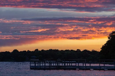
Sibley State Park
Minnesota
ParkState Park
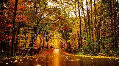
Lake Maria State Park
Minnesota
ParkState Park
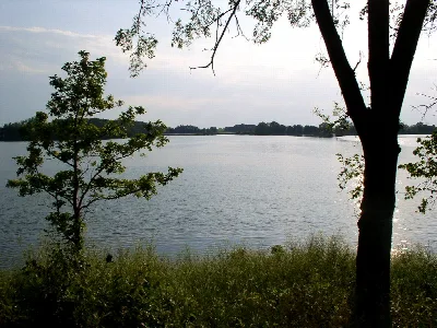
Monson Lake State Park
Minnesota
ParkState Park
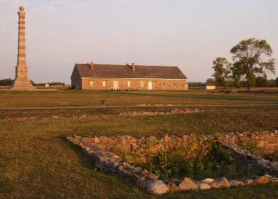
Fort Ridgely State Park
Minnesota
ParkState Park
Same state
More parks in Minnesota
Featured
Boundary Waters Canoe Area Wilderness
Minnesota
1,716 sq mi
ParkWilderness Area
Featured
Superior National Forest
Minnesota
6,094 sq mi
ParkNational Forest
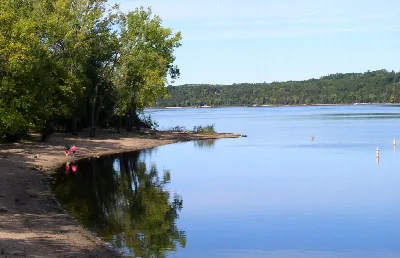
Afton State Park
Minnesota
ParkState Park
Agassiz National Wildlife Refuge
Minnesota
97 sq mi
Parkwildlife refuge

Apostle Islands National Lakeshore
Minnesota
ParkNat'l Recreation Area
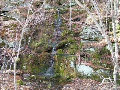
Banning State Park
Minnesota
ParkState Park
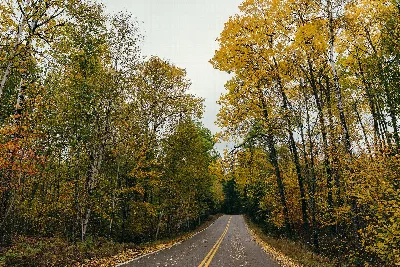
Bear Head Lake State Park
Minnesota
ParkState Park
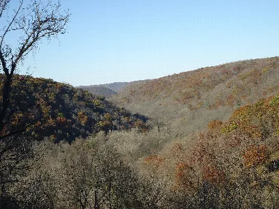
Beaver Creek Valley State Park
Minnesota
ParkState Park
Spot an error in our data on Litchfield Wetland Management District?