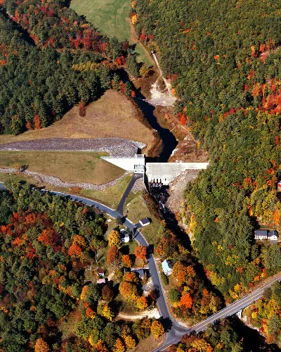
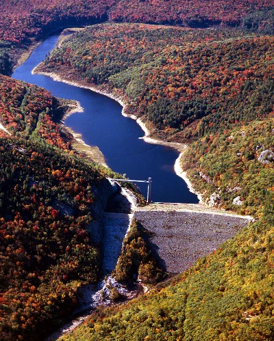
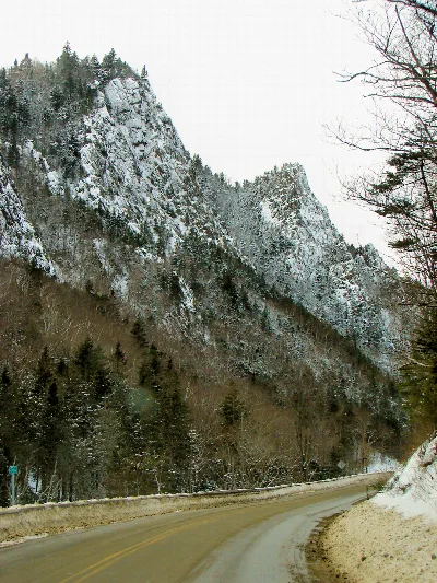
Photo: U.S. Army Corps of Engineers, photographer not specified or unknownPublic domainWikipedia
Official sources & verification
Managed by National Recreation Area
Source of truth
- Agency source page
The page our published rules and notes are derived from.
Managing agency
- National Recreation Area
Find offices, alerts, and current orders for this agency.
Verify by phone or mail
- Operator:(603) 934-2116
About
Source: Wikipedia — text licensed CC BY-SA 4.0. Verify alerts and operational details with the managing agency below.
Reviews
No reviews yet
Be the first to share your experience and help others plan their visit.
Hunting in this park
Hunting is generally prohibited in this National Park Service unit
Verify current park-specific rules with the National Park Service before planning any hunt. See NPS regulations
Within ~100 miles
Parks near Franklin Falls Dam
Same state
More parks in New Hampshire
White Mountain National Forest
New Hampshire
Ball Mountain Lake
New Hampshire
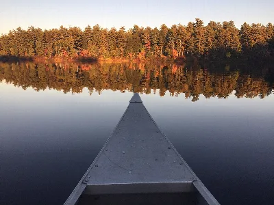
Bear Brook State Park
New Hampshire
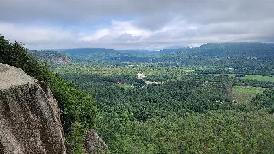
Cathedral Ledge State Park
New Hampshire
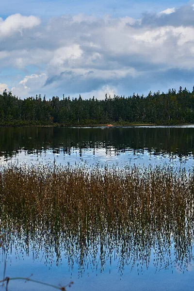
Coleman State Park
New Hampshire
Crawford Notch State Park
New Hampshire
Crosby Mountain State Park
New Hampshire
Dixville Notch State Park
New Hampshire