No photos yet
Official sources & verification
Managed by Massachusetts Department of Conservation and Recreation
Source of truth
- Agency source page
The page our published rules and notes are derived from.
About
Erving State Forest is a publicly owned forest with recreational features located north of the Millers River in the towns of Erving, Warwick, and Orange, Massachusetts. The property is centered on Laurel Lake, a 51-acre (21 ha) body of water that has been a popular recreational destination since the 1930s. The forest's network of roads and hiking trails were largely created by the Civilian Conservation Corps. The forest is managed by the Department of Conservation and Recreation.
Source: Wikipedia — text licensed CC BY-SA 4.0. Verify alerts and operational details with the managing agency below.
Reviews
No reviews yet
Be the first to share your experience and help others plan their visit.
Hunting in this park
This park overlaps hunting unit
During hunting seasons, wear blaze orange and check regulations — see the Massachusetts hunting page
Within ~100 miles
Parks near Erving State Forest
Orange State Forest
Massachusetts
ParkState Forest
Wendell State Forest
Massachusetts
ParkState Forest
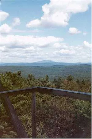
Mount Grace State Forest
Massachusetts
ParkState Forest
Connecticut River Greenway State Park
Massachusetts
Parkrecreation area
Montague State Forest
Massachusetts
ParkState Forest
New Salem State Forest
Massachusetts
ParkState Forest
Same state
More parks in Massachusetts
Abigail Adams State Park
Massachusetts
ParkState Park
Acushnet Cedar Swamp State Reservation
Massachusetts
ParkState Park
Adams National Historical Park
Massachusetts
ParkNational Historical Park
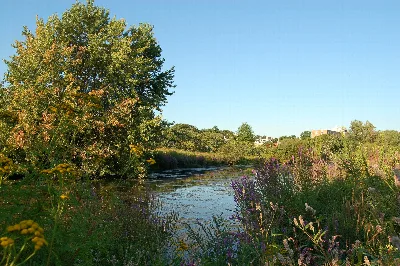
Alewife Brook Reservation
Massachusetts
ParkState Park
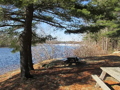
Ames Nowell State Park
Massachusetts
ParkState Park
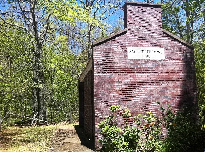
Angle Tree Monument Reservation
Massachusetts
ParkState Park
Arthur Wharton Swann State Forest
Massachusetts
ParkState Forest
Ashburnham State Forest
Massachusetts
ParkState Forest
Spot an error in our data on Erving State Forest?