Photo: NPS Natural ResourcesPublic domainWikipedia
No alerts in our cache for this unit.
Alerts can change quickly. For real-time conditions, advisories, and closures, check the NPS alerts feed before you go.
31K
Acres
3
Campgrounds
Official sources & verification
Managed by National Park Service
Source of truth
- National Park Service unit page
NPS-published hours, fees, alerts, and current closures for this unit.
- NPS current conditions & alerts
Current alerts, advisories, and temporary closures published by the NPS unit.
- Agency source page
The page our published rules and notes are derived from.
About
Source: Wikipedia — text licensed CC BY-SA 4.0. Verify alerts and operational details with the managing agency below.
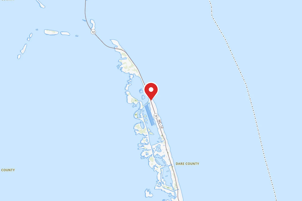
Camp Hatteras
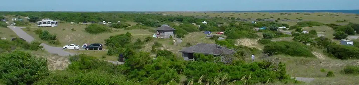
Frisco Campground - Cape Hatteras
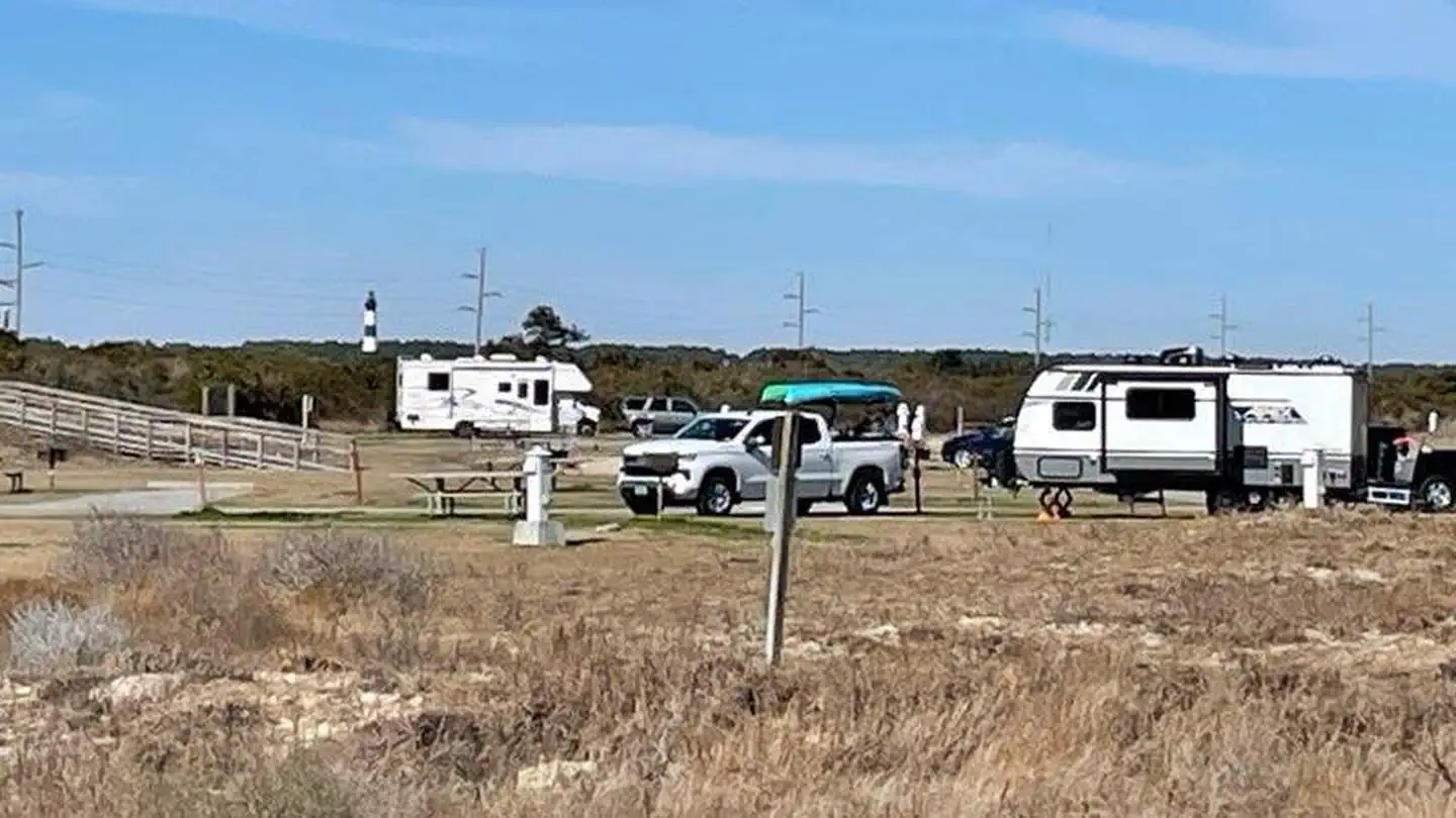
Oregon Inlet Campground
Reviews
No reviews yet
Be the first to share your experience and help others plan their visit.
Hunting in this park
Hunting is generally prohibited in this National Park Service unit
Verify current park-specific rules with the National Park Service before planning any hunt. See NPS regulations
Within ~100 miles
Parks near Cape Hatteras National Seashore
Pea Island National Wildlife Refuge
North Carolina
Alligator River National Wildlife Refuge
North Carolina
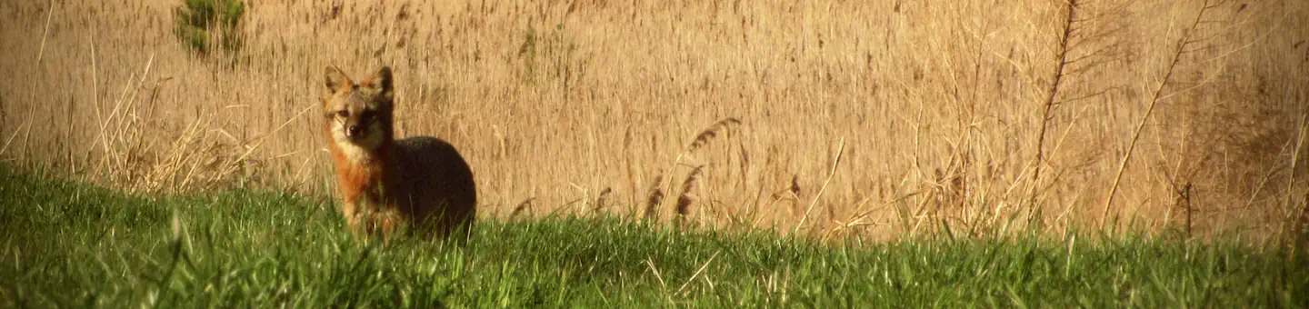
Mattamuskeet National Wildlife Refuge
North Carolina
Fort Raleigh National Historic Site
North Carolina
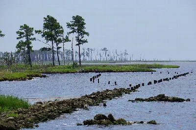
Swanquarter National Wildlife Refuge
North Carolina
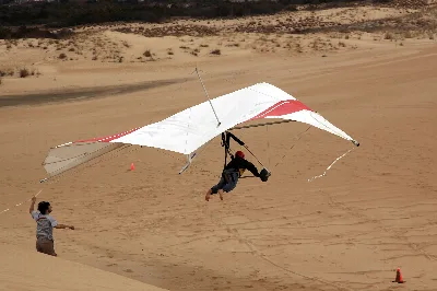
Jockey's Ridge State Park
North Carolina
Same state
More parks in North Carolina
Pisgah National Forest
North Carolina
B Everett Jordan Dam And Lake — Crosswinds Campgrounds
North Carolina
B Everett Jordan Dam And Lake — Crosswinds Marina
North Carolina
B Everett Jordan Dam And Lake — Ebenezer Church
North Carolina
B Everett Jordan Dam And Lake — Farrington Point
North Carolina
B Everett Jordan Dam And Lake — Jordan Dam And Visitor Assistance Center
North Carolina
B Everett Jordan Dam And Lake — Jordan Dam Tailrace
North Carolina
B Everett Jordan Dam And Lake — New Hope Overlook
North Carolina