1 / 2
Nat'l Recreation Area
Official sources & verification
Managed by National Recreation Area
Source of truth
- Agency source page
The page our published rules and notes are derived from.
Managing agency
- National Recreation Area
Find offices, alerts, and current orders for this agency.
Verify by phone or mail
- Operator:1111111111
- Email:as_portal_comments@fs.fed.us
- Address:AZ
About
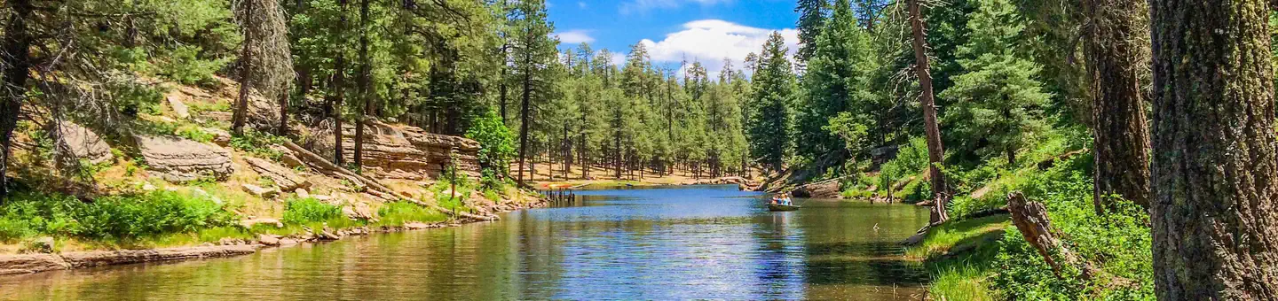
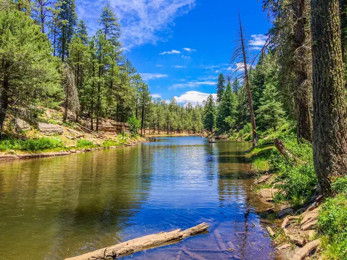
The Apache–Sitgreaves National Forests is a 2.76-million-acre (11,169 km2) United States national forest which runs along the Mogollon Rim and the White Mountains in east-central Arizona and into the U.S. state of New Mexico. Formerly two forests, it is currently managed as one unit by USDA Forest Service from the Forest Supervisors Office in Springerville, Arizona. Apache–Sitgreaves has over 400 species of wildlife. With its high elevation and cool summer breezes it is a popular weekend destination from the hot desert for Phoenix, Arizona, residents. The forest is divided into 5 Ranger Districts that span almost 300 miles (480 km) from Clifton, Arizona in the east-central portion of Arizona to the eastern boundary of the Coconino National Forest in north-central Arizona. The Apache–Sitgreaves National Forest borders the western and northern borders of the Fort Apache Indian Reservation. It is located in parts of Greenlee, Apache, Navajo, and Coconino counties in eastern and east-central Arizona, and Catron County in western New Mexico. The more northwesterly Sitgreaves National Forest portion lies adjacent to the north side of the Fort Apache Indian Reservation and is located entirely in Arizona, within Navajo, Apache, and Coconino counties. It has a total area of 818,651 acres (3,313 km2). The more southeasterly and much larger Apache National Forest portion lies adjacent to the east side of the Fort Apache and the San Carlos Indian Reservations. It lies on both sides of the border with New Mexico, in Greenlee, Catron, and Apache counties. It has a total area of 1,813,601 acres (7,339 km2).
Source: Wikipedia — text licensed CC BY-SA 4.0. Verify alerts and operational details with the managing agency below.
Reviews
No reviews yet
Be the first to share your experience and help others plan their visit.
Hunting in this park
Hunting is generally prohibited in this National Park Service unit
Verify current park-specific rules with the National Park Service before planning any hunt. See NPS regulations
Within ~100 miles
Parks near Apache-Sitgreaves National Forest
Nat'l Recreation Area
Park
Mesita Blanca Wilderness Study Area
Arizona
Nat'l Recreation Area
Park
Davis Dam
Arizona
Nat'l Recreation Area
Park
Eagle Peak Wilderness Study Area
Arizona
Nat'l Recreation Area
Park
Gila National Forest
Arizona
National Park
Park
Petrified Forest National Park
Arizona
346 sq mi
Nat'l Recreation Area
Park
Horse Mountain Wilderness Study Area
New Mexico
Same state
More parks in Arizona
Featured
National Park
Park
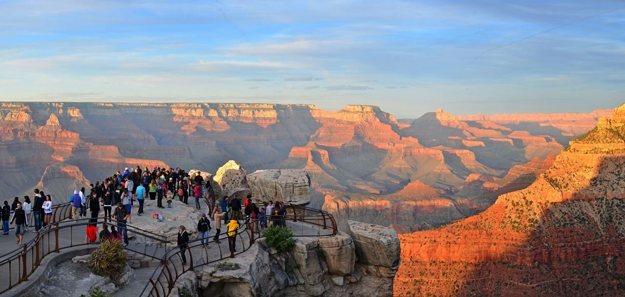
Grand Canyon National Park
Arizona
1,878 sq mi
Nat'l Recreation Area
Park
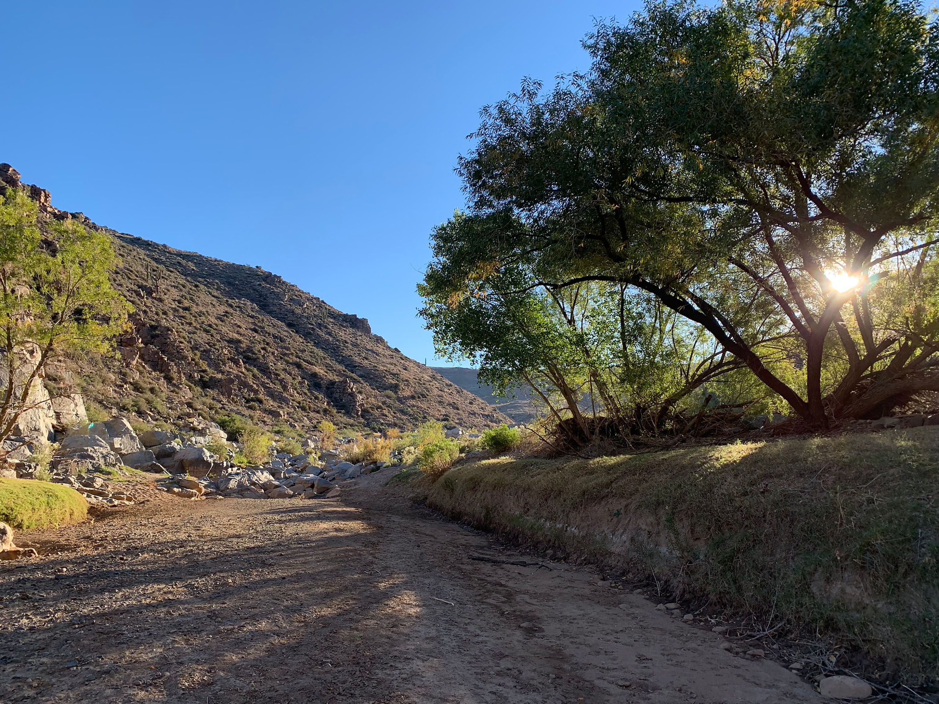
Agua Fria National Monument
Arizona
Nat'l Recreation Area
Park
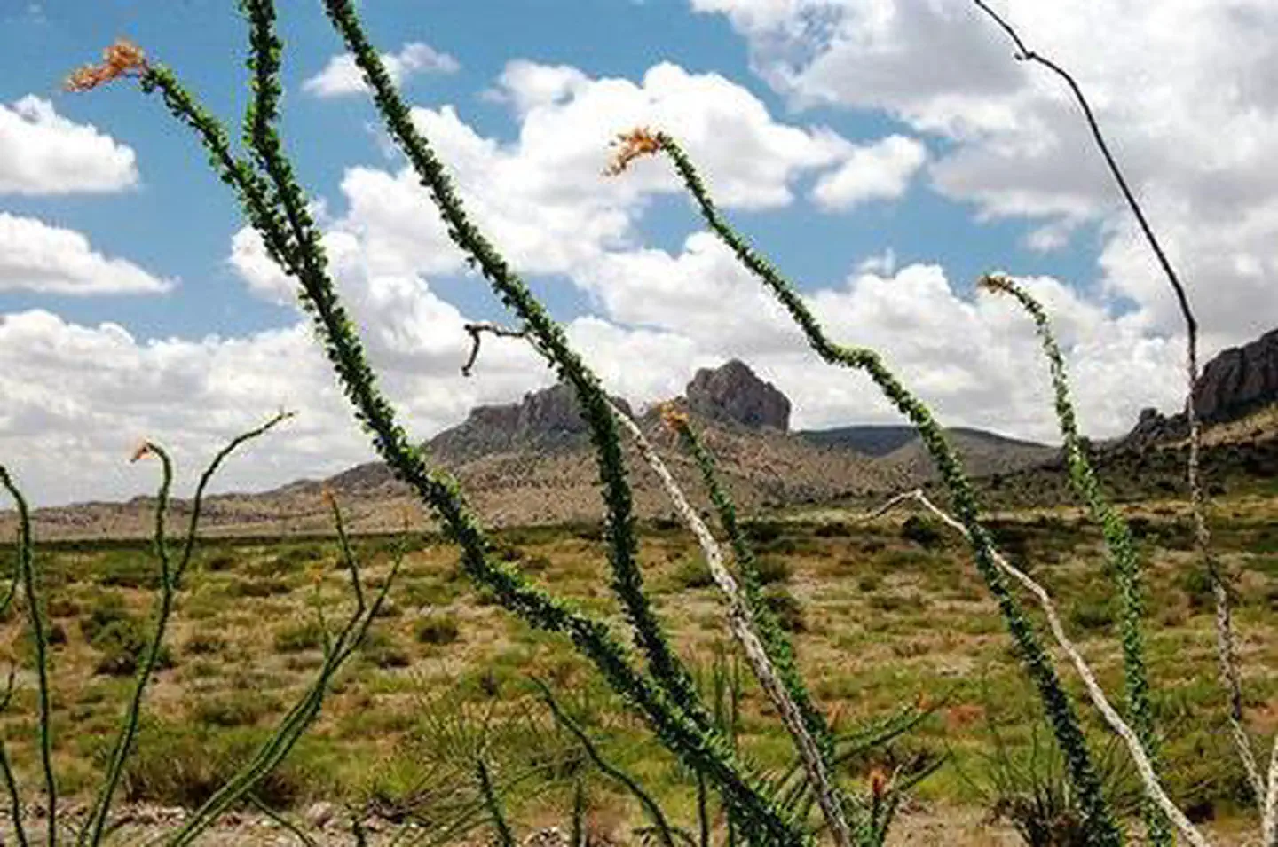
Alamo Hueco Mountains Wilderness Study Area
Arizona
Nat'l Recreation Area
Park
Alamo Lake
Arizona
Nat'l Recreation Area
Park
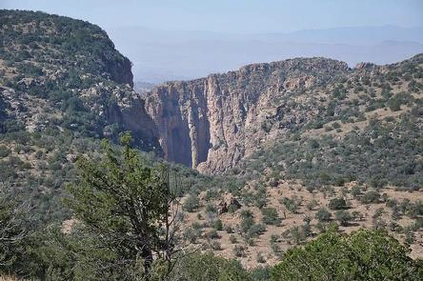
Apache Box Wilderness Study Area
Arizona
National Forest
Park
Apache-Sitgreaves National Forests
Arizona
4,313 sq mi
Nat'l Recreation Area
Park
Arizona National Scenic Trail
Arizona
recreation area
Park
Arizona-Sonora Desert Museum
Arizona
Spot an error in our data on Apache-Sitgreaves National Forest?