No photos yet
Official sources & verification
Managed by Maine Bureau of Parks and Lands
Source of truth
- Allagash Wilderness Waterway — official page
Operator-published page with current visitor information.
About
A long ribbon of lakes, ponds, rivers and streams winding through northern Maine's forests, protected for its natural beauty. Trips here are remote and need careful planning.
Source: apps.web.maine.gov
From Wikipedia
The Allagash Wilderness Waterway is a 92.5-mile-long (148.9 km) protected area extending from Aroostook County, Maine into Piscataquis County, Maine. It is a ribbon of lakes, ponds, rivers, and streams of the Maine North Woods that includes much of the Allagash River. Canoeing, fishing, hunting, and camping are among the activities permitted.
Source: Wikipedia — text licensed CC BY-SA 4.0. Verify alerts and operational details with the managing agency below.
Reviews
No reviews yet
Be the first to share your experience and help others plan their visit.
Hunting in this park
This park overlaps hunting units
During hunting seasons, wear blaze orange and check regulations — see the Maine hunting page
Within ~100 miles
Parks near Allagash Wilderness Waterway
Same state
More parks in Maine
Featured
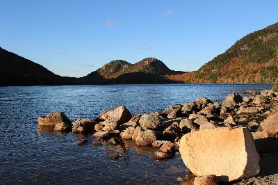
Acadia National Park
Maine
77 sq mi
ParkNational Park
Androscoggin Riverlands State Park
Maine
ParkState Park
Aroostook National Wildlife Refuge
Maine
9 sq mi
Parkwildlife refuge
Aroostook State Park
Maine
ParkState Park
Birch Point State Park
Maine
ParkState Park
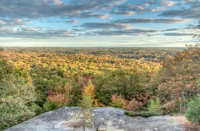
Bradbury Mountain State Park
Maine
ParkState Park
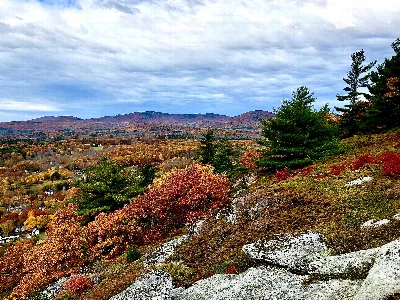
Camden Hills State Park
Maine
ParkState Park
Carlton Pond Waterfowl Production Area
Maine
ParkNat'l Recreation Area
Spot an error in our data on Allagash Wilderness Waterway?