Unit 30 · Cora / Green River Lakes
About this unit
North Sublette County wrapping the upper Green River and Green River Lakes country. Aspen and spruce-fir climb to alpine tundra above 12,000 feet on the Wind River crest, with Gannett Peak (13,809 ft, Wyoming's highest) anchoring the eastern edge. Predominantly Bridger-Teton National Forest with the Bridger Wilderness on the high country.
- Bridger Wilderness
- Gannett Peak (13,809 ft)
- Green River Lakes
Public lands inside this unit
1 found
Trails near Unit 30
7 found
Washington to Arizona Backcounty Discovery Route Ride
Difficulty: Moderate4716.2 miTrailContinental Divide Trail
Difficulty: Difficult3001.6 miTrailWilkins Peak Trails
Difficulty: Expert12.5 miTrailScotts Bottom Road
Difficulty: Easy1.6 miTrailPick Your Poison
Difficulty: Easy1.1 miTrailIsland Park Trail
Difficulty: Easy0.3 miTrailLost Dog
Difficulty: Easy0.1 miTrail
Campgrounds near Unit 30
3 found
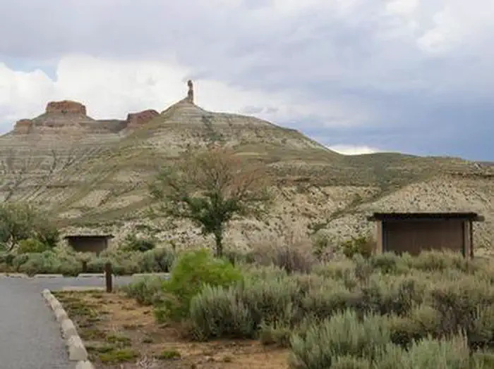
On the books in Wyoming
Species inventory is state-level — which units actually hold or permit each species varies. Verify unit-specific rules with the state agency linked above.
Official agency resources
Wyoming Game and Fish Department
- Hunting regulations ↗
https://wgfd.wyo.gov/Regulations
- Draw / lottery ↗
https://wgfd.wyo.gov/licenses-applications/application-process
- GMU map ↗
https://wgfd.maps.arcgis.com/apps/instant/basic/index.html?appid=1e749fed2804465c82f119f76b374be1
- Harvest reporting ↗
https://wgfd.wyo.gov/hunting-trapping/harvest-reports-surveys
- Hunter education ↗
https://wgfd.wyo.gov/education-camps/hunter-education
- Buy a license ↗
https://wgfd.wyo.gov/licenses-applications
Authoritative source
Outdoors does not publish hunting regulations directly. For current season dates, bag limits, legal weapons, draw deadlines, and license costs in unit 30, go straight to the issuing agency.
Read the Wyoming agency pageBoundary verified by Outdoors against the agency source on 10/25/2026.