Unit 16 · Laramie Peak
About this unit
Central Albany and southwest Converse counties wrapping Laramie Peak. Ponderosa and Douglas-fir climb to spruce-fir and granite domes above 10,272 feet on Laramie Peak. Predominantly Medicine Bow National Forest with significant private ranch ground.
- Laramie Peak (10,272 ft)
- Medicine Bow NF
- Laramie Range
Public lands inside this unit
5 found
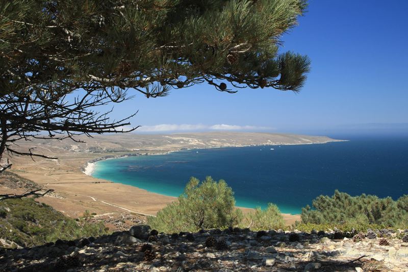
Trails near Unit 16
3 found
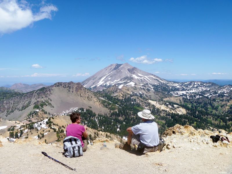
Campgrounds near Unit 16
12 found
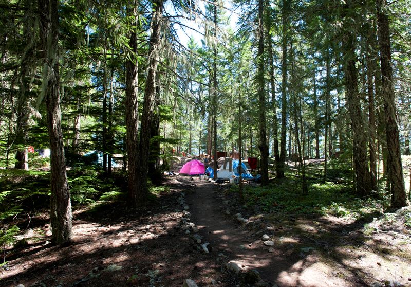 Campground
Dugway Campground
Pricing varies — check with the operator- Campground
Kortes Reservoir Miracle Mile Dispersed
Pricing varies — check with the operator - Campground
Westside Campground
Pricing varies — check with the operator - Campground
Natrona County Pathfinder Reservoir Weiss Campground
Pricing varies — check with the operator - Campground
North Red Hills - Seminoe State Park
Pricing varies — check with the operator - Campground
Black Beach Campground
Pricing varies — check with the operator - Campground
Bishops Point Campground
Pricing varies — check with the operator - Campground
The Virginian
Pricing varies — check with the operator 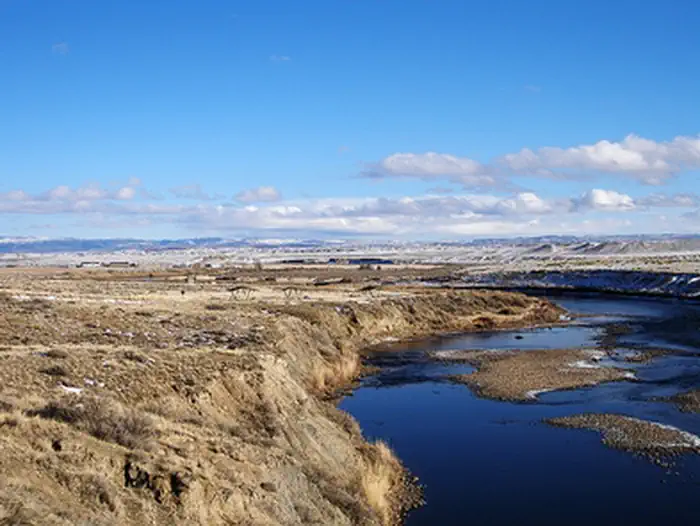 Campground
Pete's Draw Campground
Pricing varies — check with the operator- Campground
East Allen Lake Public Access
Pricing varies — check with the operator - Campground
Gray Reef Reservoir
Pricing varies — check with the operator - Campground
Prior Flat Campground
Pricing varies — check with the operator
Water bodies near Unit 16
1 found
Species in this unit
Official agency resources
Wyoming Game and Fish Department
- Hunting regulations ↗
https://wgfd.wyo.gov/Regulations
- Draw / lottery ↗
https://wgfd.wyo.gov/licenses-applications/application-process
- GMU map ↗
https://wgfd.maps.arcgis.com/apps/instant/basic/index.html?appid=1e749fed2804465c82f119f76b374be1
- Harvest reporting ↗
https://wgfd.wyo.gov/hunting-trapping/harvest-reports-surveys
- Hunter education ↗
https://wgfd.wyo.gov/education-camps/hunter-education
- Buy a license ↗
https://wgfd.wyo.gov/licenses-applications
Authoritative source
Outdoors does not publish hunting regulations directly. For current season dates, bag limits, legal weapons, draw deadlines, and license costs in unit 16, go straight to the issuing agency.
Read the Wyoming agency pageBoundary verified by Outdoors against the agency source on 05/23/2026.