Unit 711 · Tabeguache
About this unit
Southwest Montrose and west San Miguel counties wrapping the Tabeguache Creek drainage. Pinyon-juniper and oakbrush on broken bench country grade up through aspen to ponderosa on the plateau tops. Mix of BLM (Dolores River Canyon NCA-adjacent) and GMUG National Forest.
- Dolores River Canyon
- Tabeguache Creek
- BLM
Public lands inside this unit
2 found

Trails near Unit 711
6 found

Campgrounds near Unit 711
12 found
 Campground
Along the River RV Camping
Pricing varies — check with the operator- Campground
Bradfield Campground
Pricing varies — check with the operator - Campground
The Views RV Park & Campground
Pricing varies — check with the operator - Campground
Ferris Canyon
Pricing varies — check with the operator - Campground
Box Elder
Pricing varies — check with the operator - Campground
San Juan National Forest Ferris Canyon Campground
Pricing varies — check with the operator 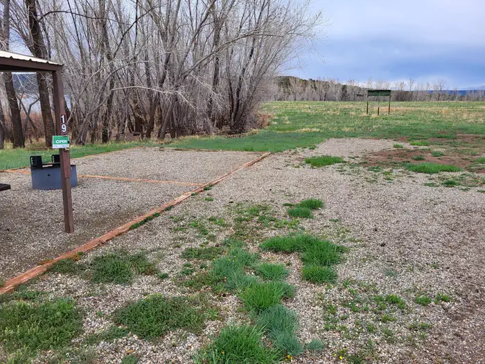 Campground
San Juan/House Creek
Pricing varies — check with the operator- Campground
McPhee Campground
Pricing varies — check with the operator - Campground
San Juan National Forest Bradfield Campground
Pricing varies — check with the operator - Campground
Dolores River RV Resort by Rjourney
Pricing varies — check with the operator 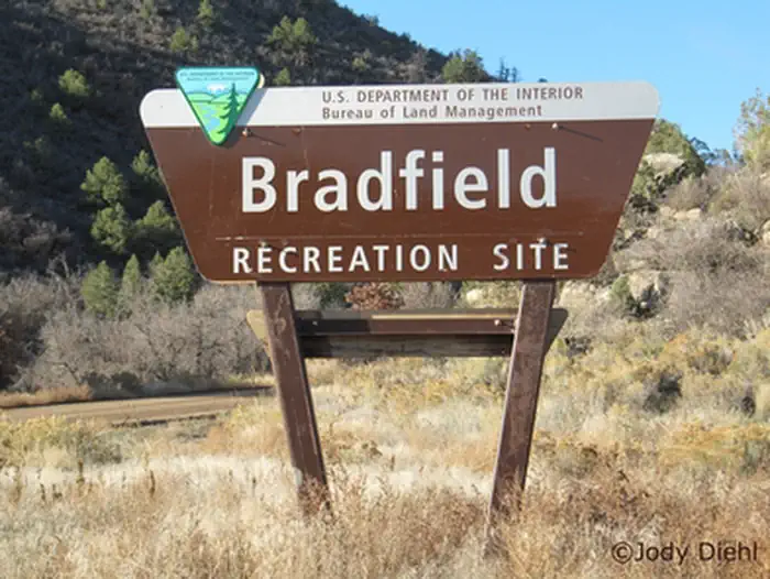 Campground
Bradfield Recreation Site
Pricing varies — check with the operator- Campground
West 36
Pricing varies — check with the operator
Species in this unit
Official agency resources
Colorado Parks and Wildlife
- Hunting regulations ↗
https://cpw.state.co.us/rules-and-regulations
- Draw / lottery ↗
https://cpw.state.co.us/hunting/big-game/primary-draw
- GMU map ↗
https://ndismaps.nrel.colostate.edu/index.html?app=HuntingAtlas
- Harvest reporting ↗
https://cpw.state.co.us/thingstodo/Pages/Statistics.aspx
- Hunter education ↗
https://cpw.state.co.us/hunting/education-outreach
- Buy a license ↗
https://cpwshop.com/
Authoritative source
Outdoors does not publish hunting regulations directly. For current season dates, bag limits, legal weapons, draw deadlines, and license costs in unit 711, go straight to the issuing agency.
Read the Colorado agency pageBoundary verified by Outdoors against the agency source on 05/23/2026.