Unit 1 · Sand Wash Basin
About this unit
Far northwestern Moffat County along the Wyoming line. Open sagebrush steppe and pinyon-juniper benches dropping into the Little Snake River drainage, with broken badlands and broad sage flats holding wild horse herds. Predominantly BLM ground at 6,500 to 7,500 feet.
- Sand Wash Basin HMA
- Little Snake River
- Vermillion Basin
Public lands inside this unit
We're still mapping public-land overlap for this unit. Explore parks in Colorado →
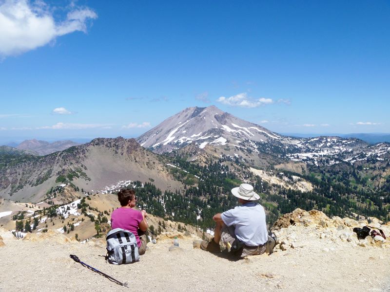
Trails near Unit 1
2 found
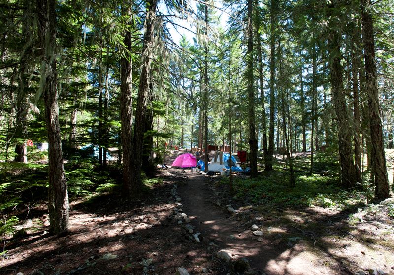
Campgrounds near Unit 1
2 found
Species in this unit
Official agency resources
Colorado Parks and Wildlife
- Hunting regulations ↗
https://cpw.state.co.us/rules-and-regulations
- Draw / lottery ↗
https://cpw.state.co.us/hunting/big-game/primary-draw
- GMU map ↗
https://ndismaps.nrel.colostate.edu/index.html?app=HuntingAtlas
- Harvest reporting ↗
https://cpw.state.co.us/thingstodo/Pages/Statistics.aspx
- Hunter education ↗
https://cpw.state.co.us/hunting/education-outreach
- Buy a license ↗
https://cpwshop.com/
Authoritative source
Outdoors does not publish hunting regulations directly. For current season dates, bag limits, legal weapons, draw deadlines, and license costs in unit 1, go straight to the issuing agency.
Read the Colorado agency pageBoundary verified by Outdoors against the agency source on 05/23/2026.