Dispersed
Wing Mountain Dispersed Camping
AZ
Dispersed camping — confirm current rules
This is a dispersed-camping point on public land. Fire restrictions, road conditions, and access change seasonally. Verify with the managing agency before traveling.
Pricing
Check official pricing0.0
0 Reviews
Official sources & verification
Managed by Dispersed/Primitive
Source of truth
- Agency source page
The page our published rules and notes are derived from.
About
Looking for a camping spot in the woods with easy access to some of the Flagstaff area's fantastic trails and recreation opportunities along US 180? The Wing Mountain area southwest of the San Francisco Peaks offers fantastic dispersed camping along Forest Roads (FRs) 222 and 171, suitable for tents, campers, and recreational vehicles.Wing Mountain is a prominent cinder cone volcano located approximately six miles southwest of the San Francisco Peaks, rising to an elevation of 8,560 feet. The mountain is surrounded by ponderosa pine forest on fairly level terrain at approximately 7,600 feet. FR 222 and FR 171: Easy to navigate, with fairly smooth, wide dirt roads offering areas where you may pull your vehicle and rig up to 300 feet off the road (refered to as "camping corridors" on the Motor Vehicle Use Map).Western end of FR 222A (between FR 171 and FR 519): Easy to navigate and offers areas suitable for everything from tents to recreational vehicles.Northern end of FR 222A (near FR 222) and western end of FR 9001P (near FR 171): These roads are narrower and rougher, and more suited to tent or small trailer camping. Nearby Attractions and ActivitiesDistances and estimated driving times from the junction of US 180 and Forest Road 222:Arizona Snowbowl: 8 miles, 16 minutesHumphreys, Aspen Loop, and Kachina trailheads (at the Snowbowl): 8 miles, 16 minutesKendrick Park Watchable Wildlife Trail: 11.5 miles, 13 minutesBismarck Lake Trail: 13.5 miles, 22 minutesArizona Nordic Village: 7.8 miles, 10 minutesRed Mountain Trail: 23 miles, 27 minutesSlate Mountain Trail: 24 miles, 40 minutesLava River Cave: 10.5 miles, 20 (via FR 245) to 30 minutes (via FR 222) .noprint { display: none; }Hover mouse cursor over image to display slideshow controls.View album on Flicker
Reviews
No reviews yet
Be the first to share your experience and help others plan their visit.
Campground Rules
- Campfire rules vary by season + location — verify current fire restrictions with the managing agency before lighting
Within ~30 miles
Trails near Wing Mountain Dispersed Camping
Fort Valley
Arizona
0.5 mi72 ftgain
TrailDifficulty: Easy
Rocky Moto/Pipeline
Arizona
3.8 mi525 ftgain
TrailDifficulty: Moderate
Pipeline
Arizona
1.3 mi66 ftgain
TrailDifficulty: Easy
Pipeline
Arizona
1.3 mi66 ftgain
TrailDifficulty: Easy
Pipeline
Arizona
0.8 mi33 ftgain
TrailDifficulty: Easy
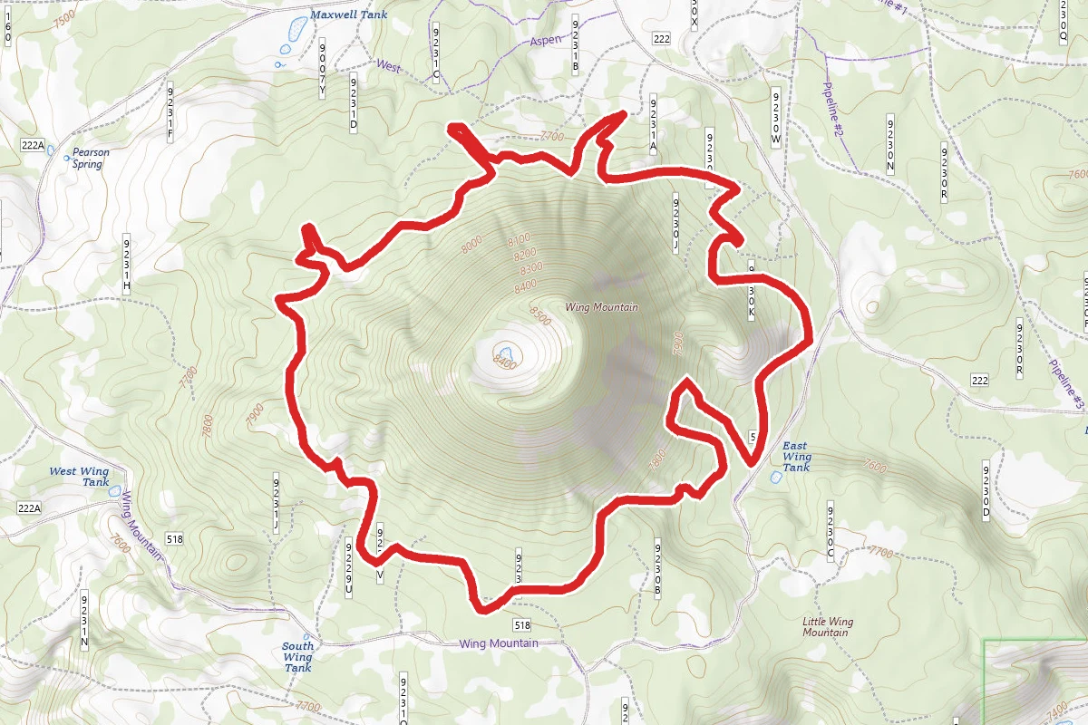
Wing Mountain Loop
Arizona
6.3 mi
Trail
Hunt context
Hunting units around this campground
During hunting seasons, wear blaze orange and check regulations — see the Arizona hunting page
Nearby Campgrounds
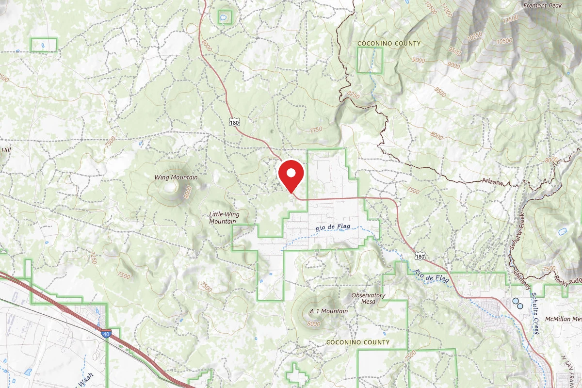
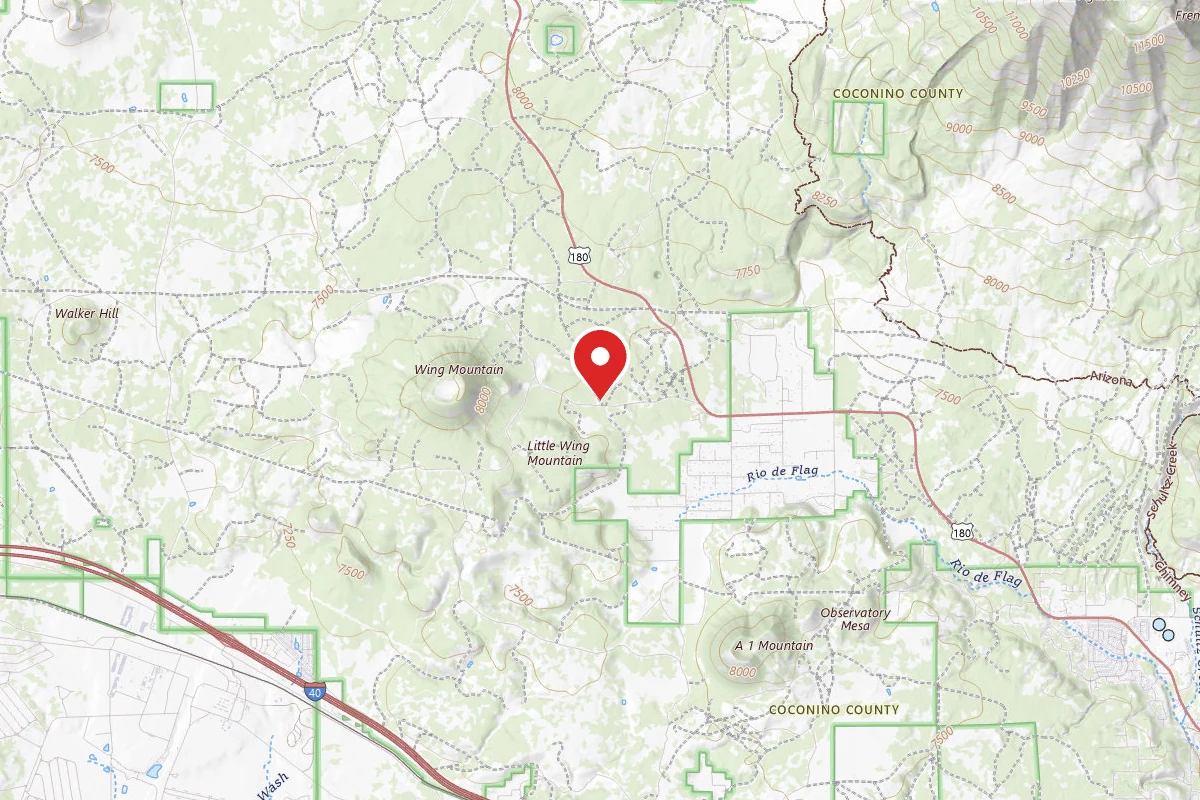
FR 222 Dispersed
Pricing varies — check with the operator
Campground Dispersed
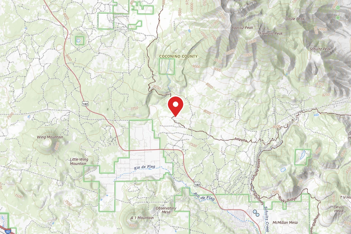
Dispersed Site near 35.2840, -111.7098
Pricing varies — check with the operator
Campground Dispersed
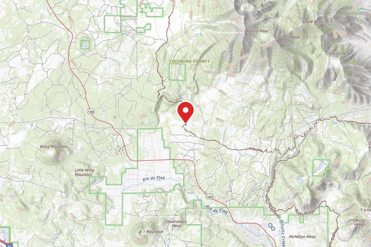
Dispersed Site near 35.2849, -111.7103
Pricing varies — check with the operator
Campground Dispersed
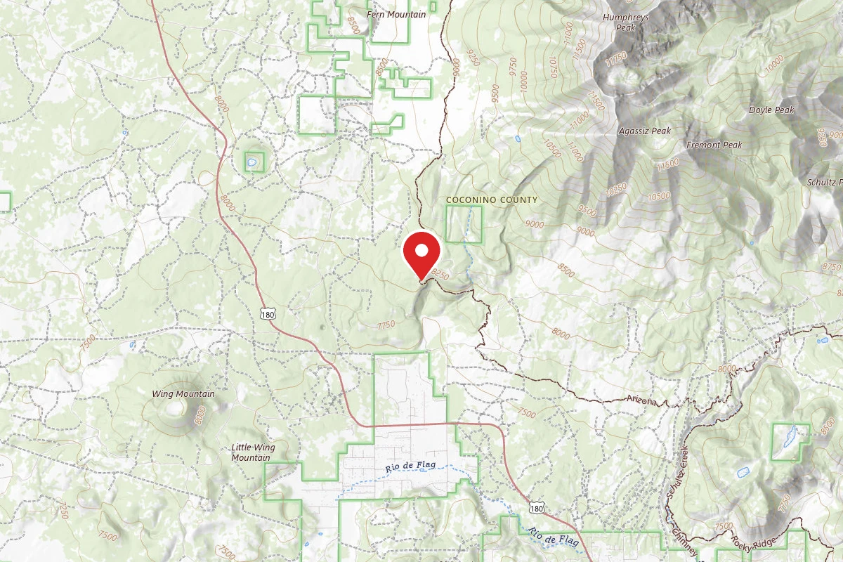
Dispersed Site near 35.2969, -111.7254
Pricing varies — check with the operator
Campground Dispersed
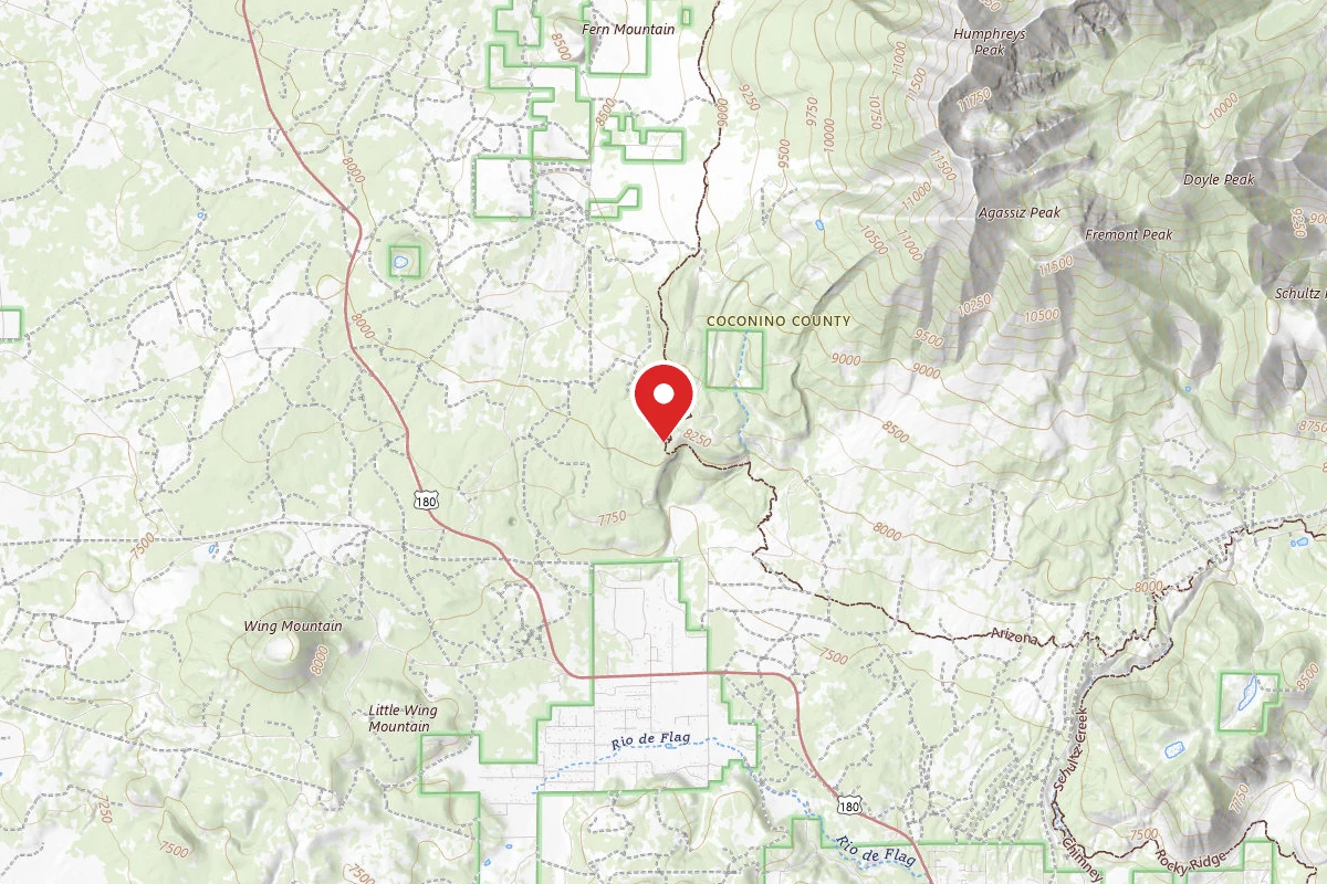
Dispersed Site near 35.2977, -111.7259
Pricing varies — check with the operator
Campground Dispersed
Spot an error in our data on Wing Mountain Dispersed Camping?